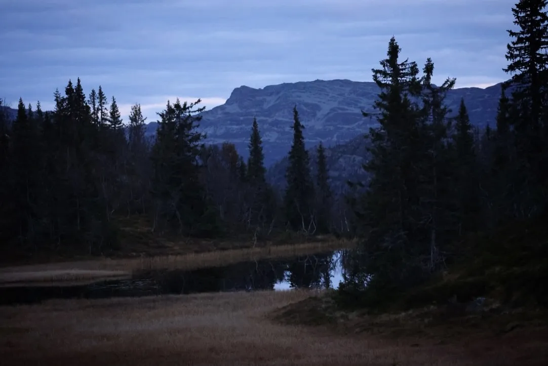
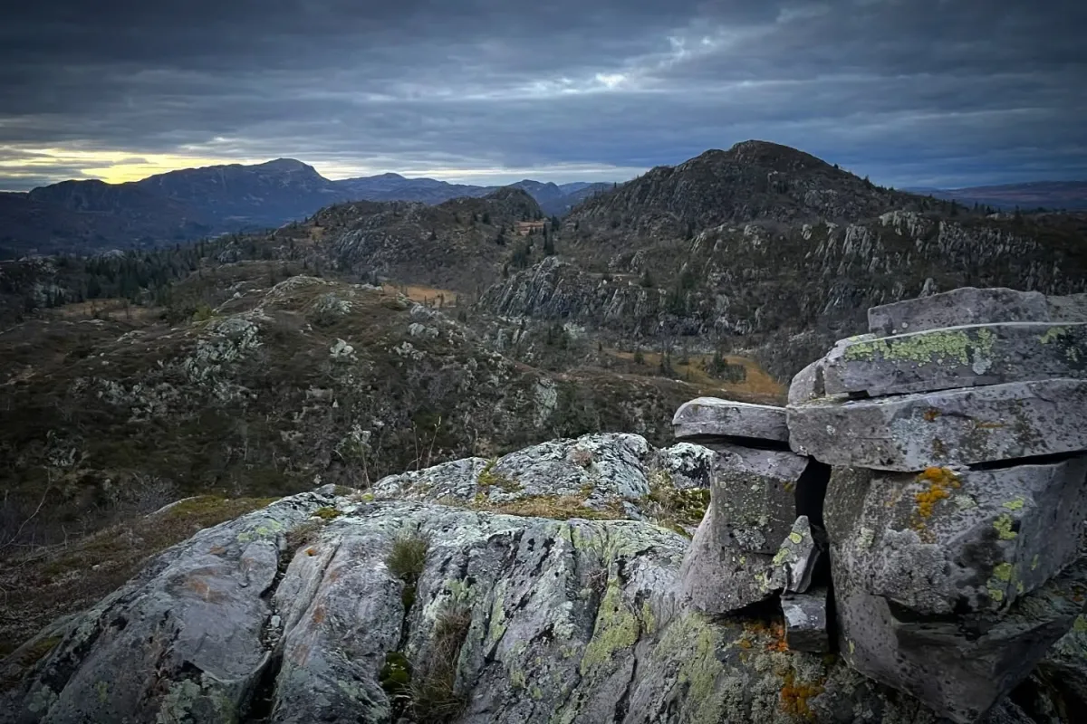
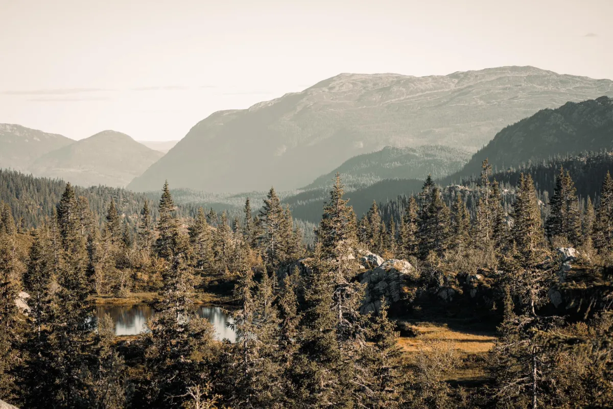
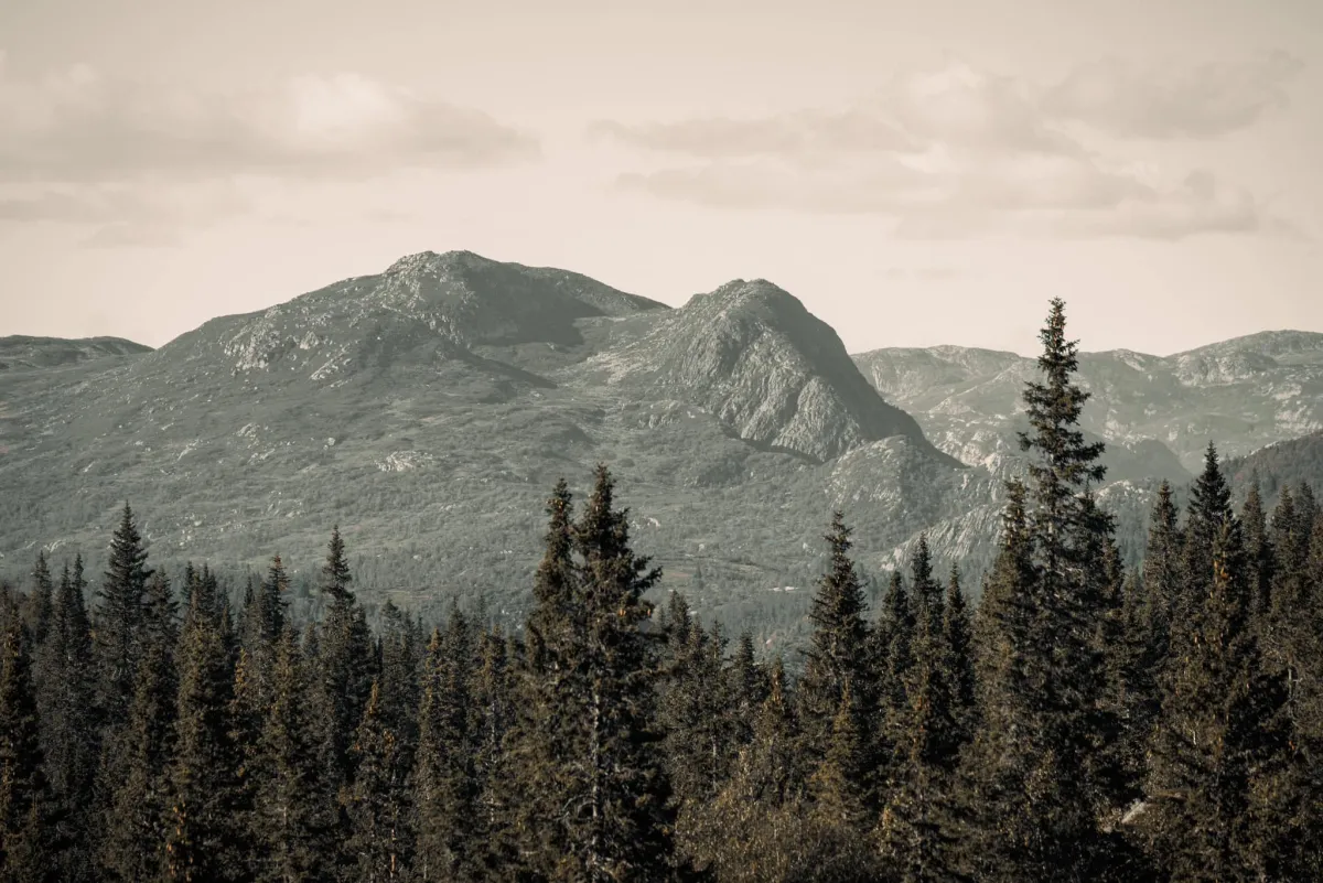
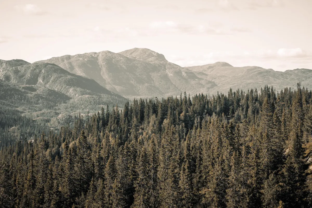
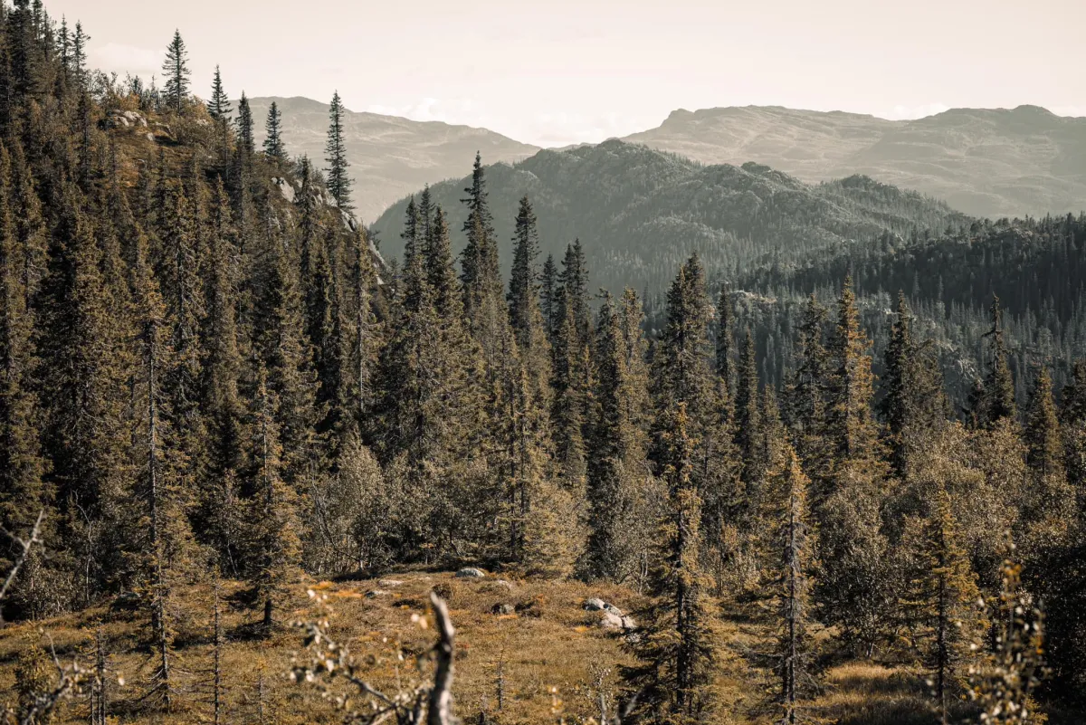
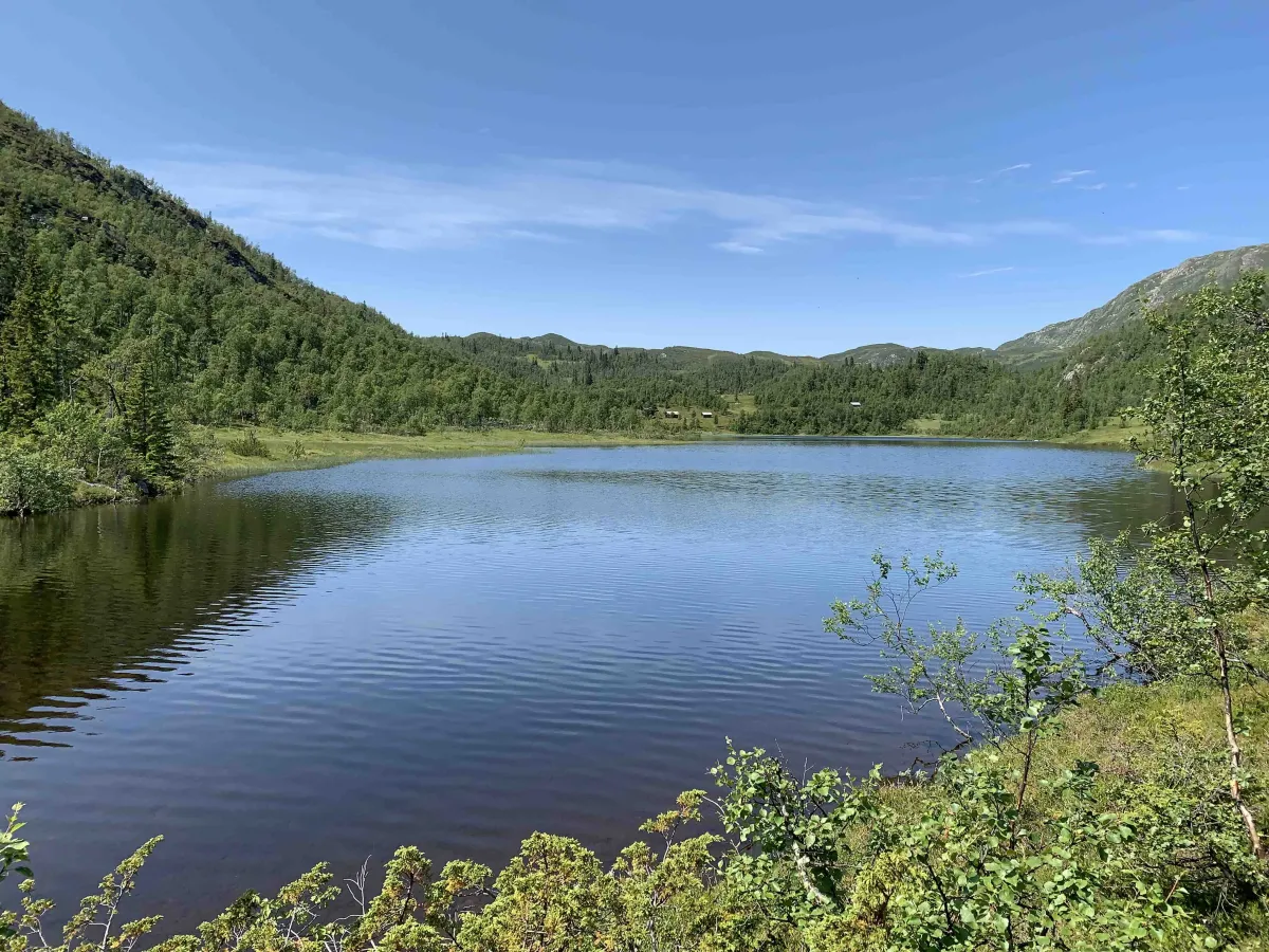
Brattefjell 19-L2/5

Fee
The road or car park has a fee. Bring small change. Some take cards and Vipps.
Weather forecast
Hentar vêrdata…
Kjelde: Yr.no (Meteorologisk institutt)
Map and route
S Start
M Finish
▲ Highest point
▼ Lowest point
km Main route
↕ m Elevation
About this hike
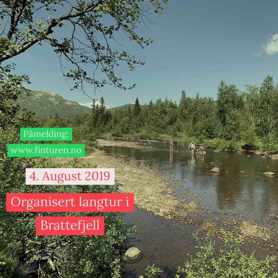
August 4, 2019 - at 08:00. Meeting at 08:00 at Granvin or at the Småtjønn parking lot.
Description:
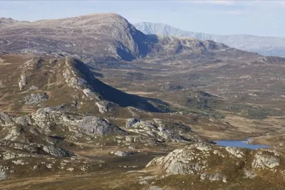
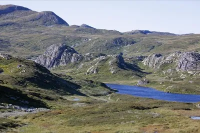
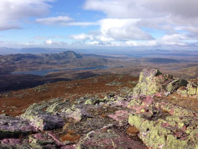
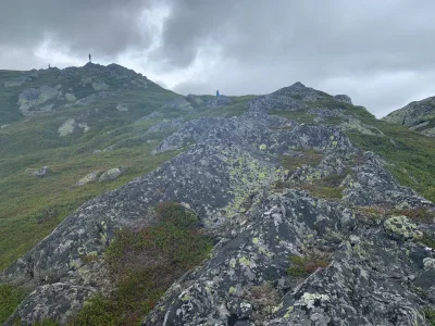
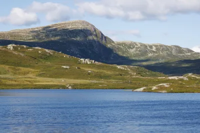
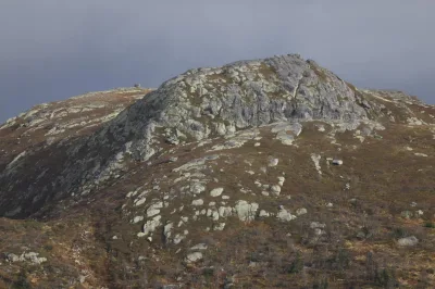
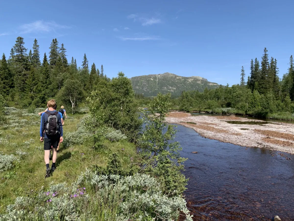
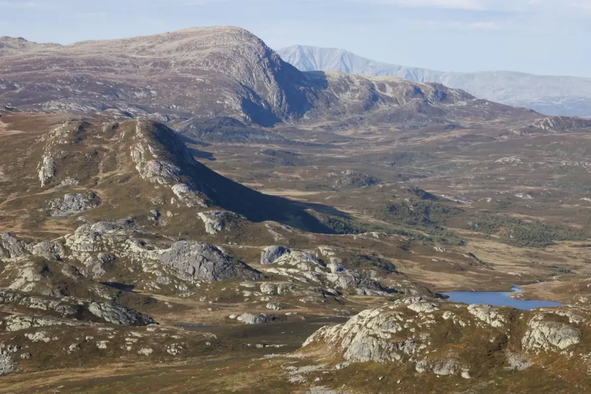
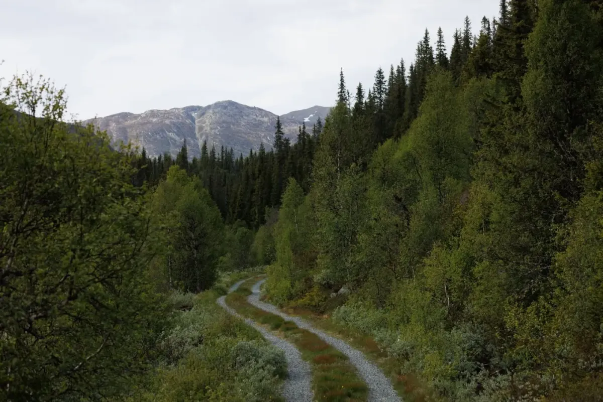
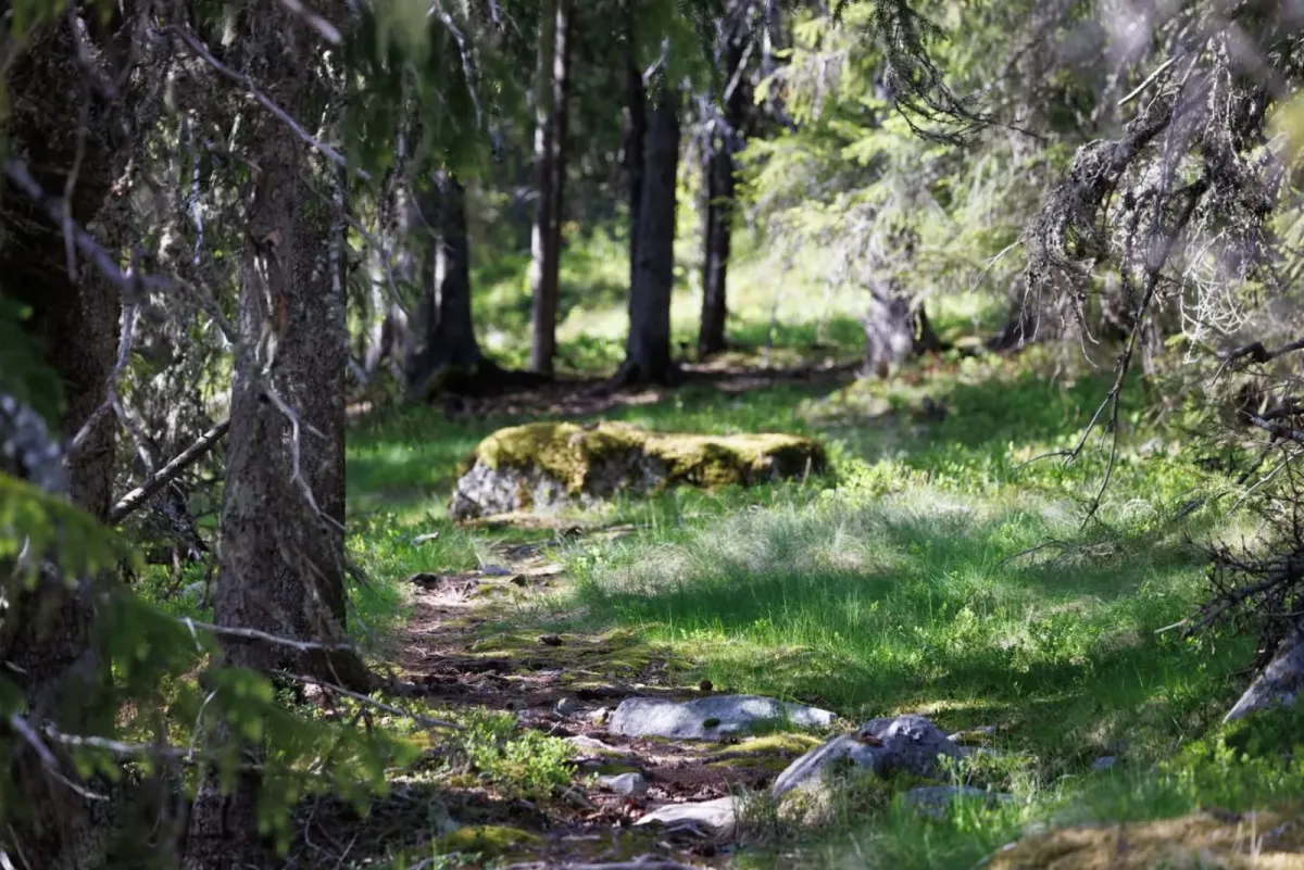
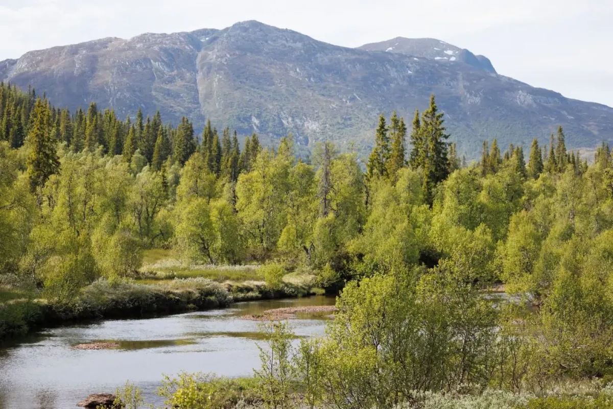
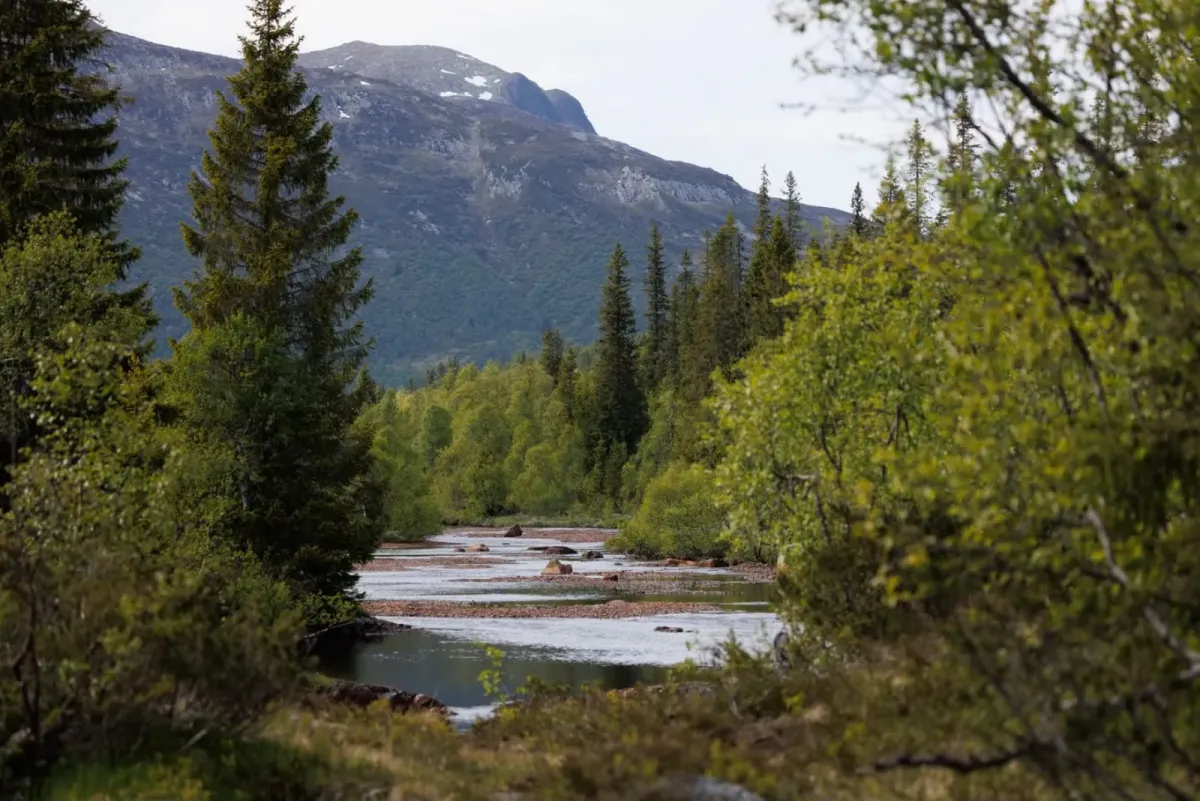
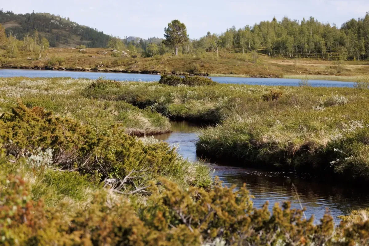
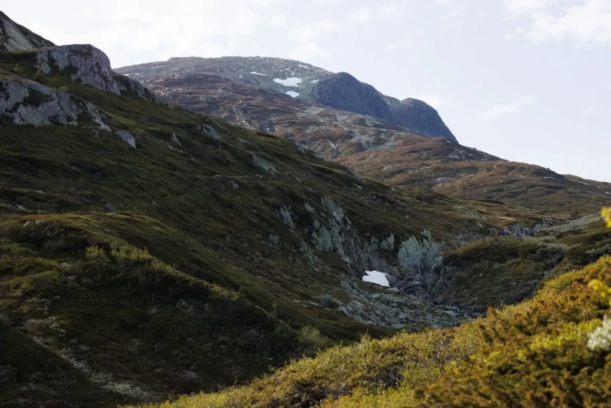
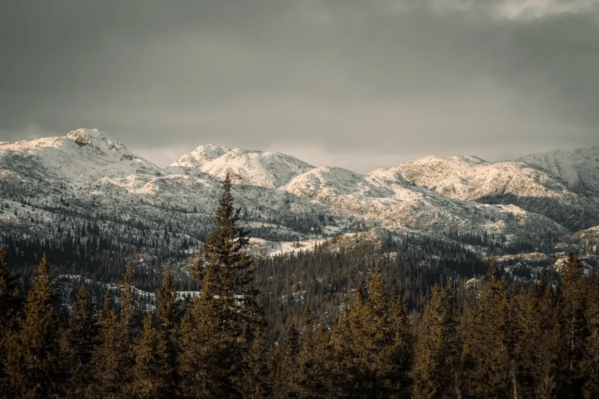
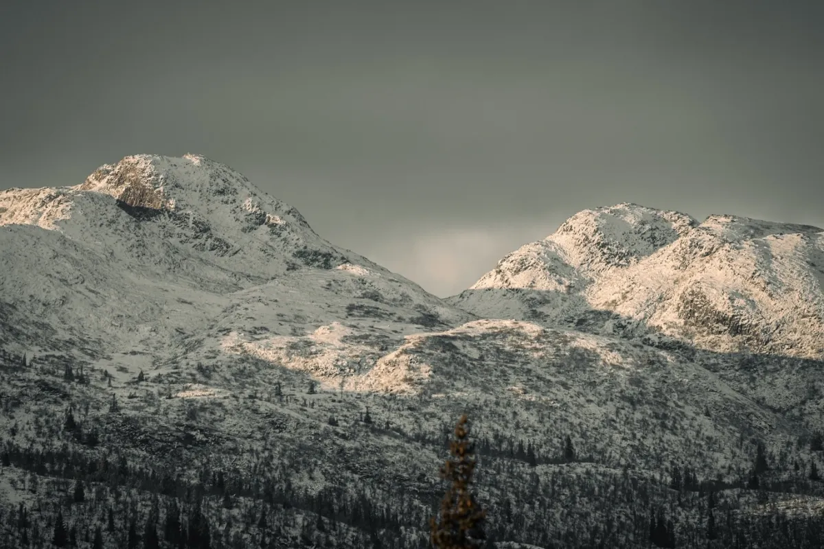
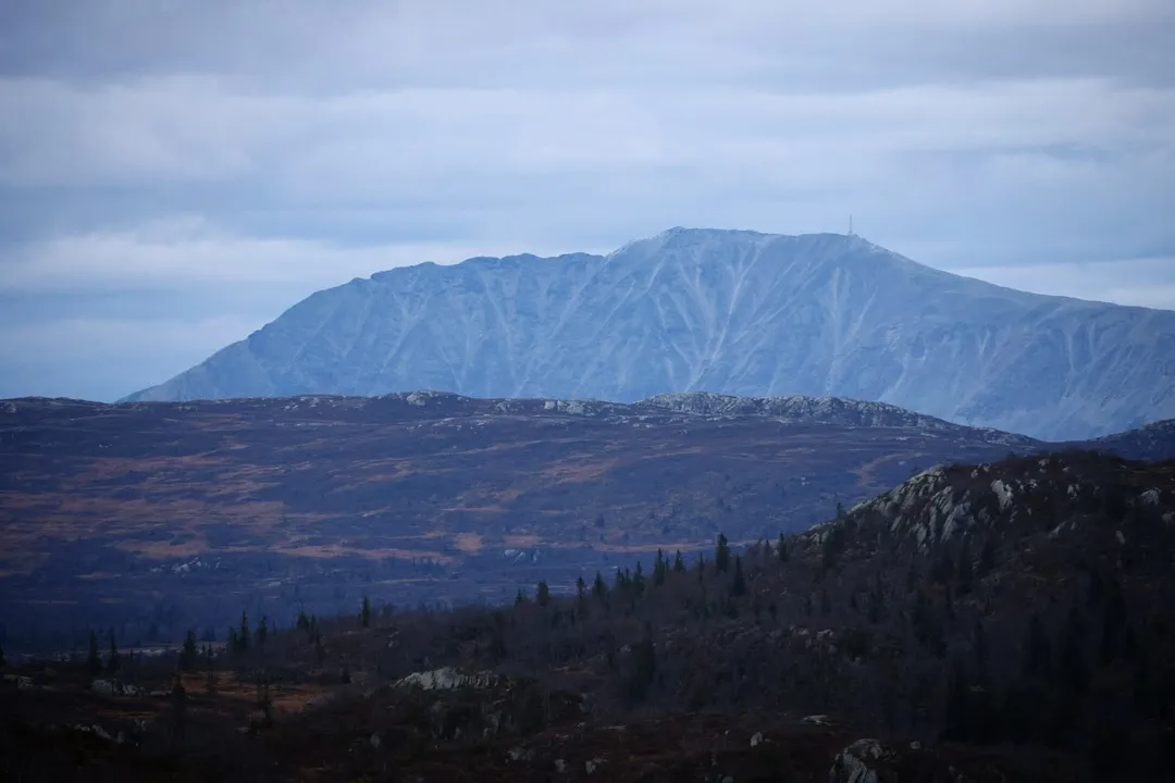
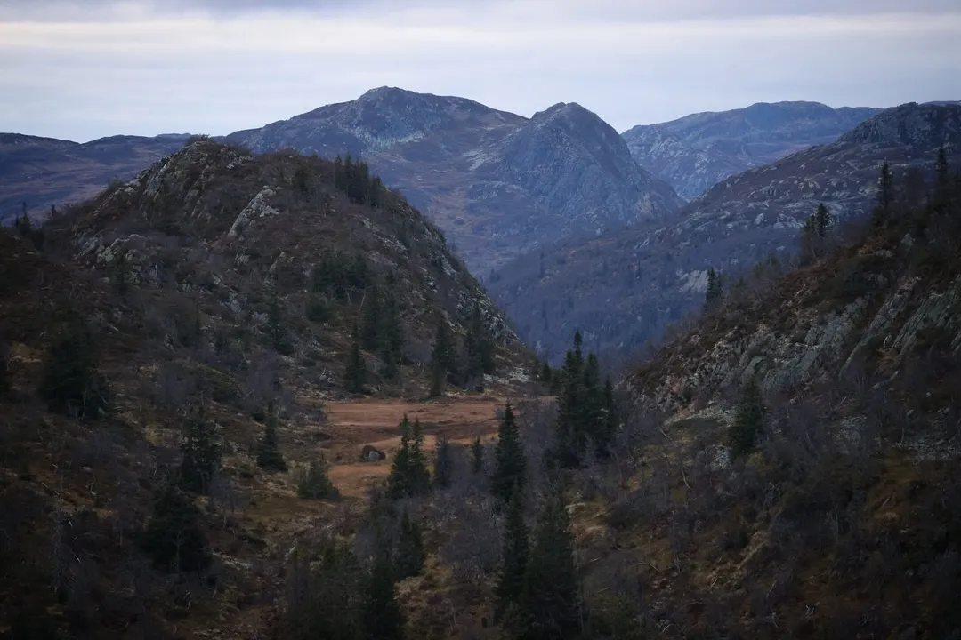
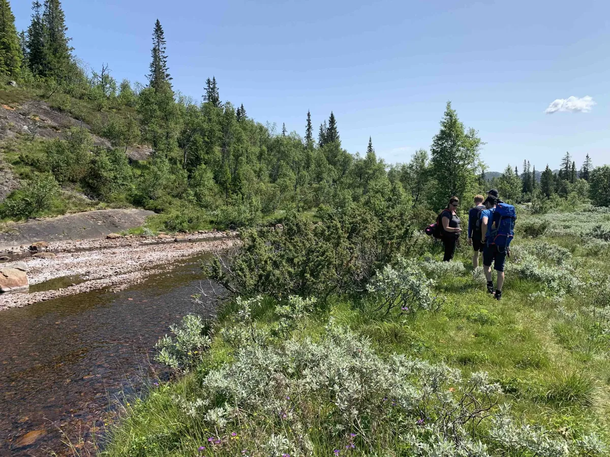
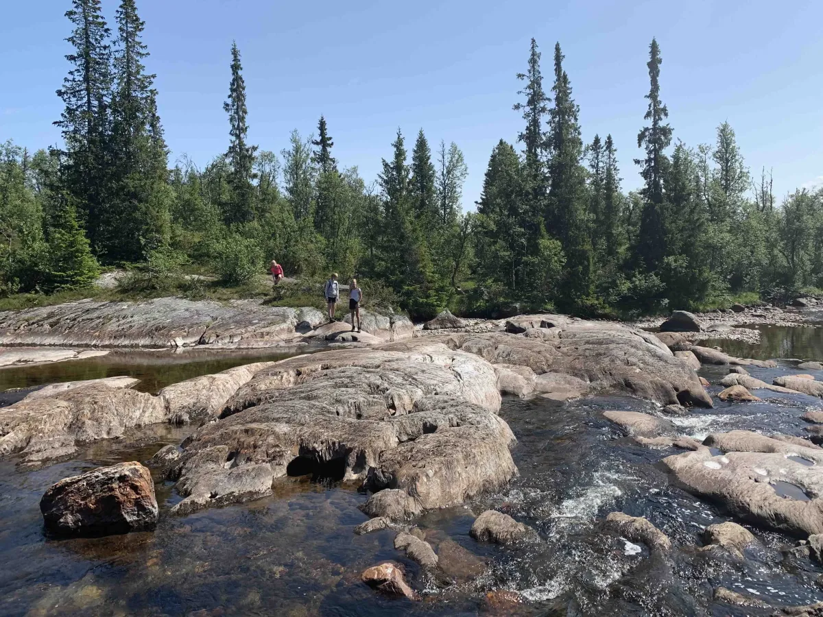
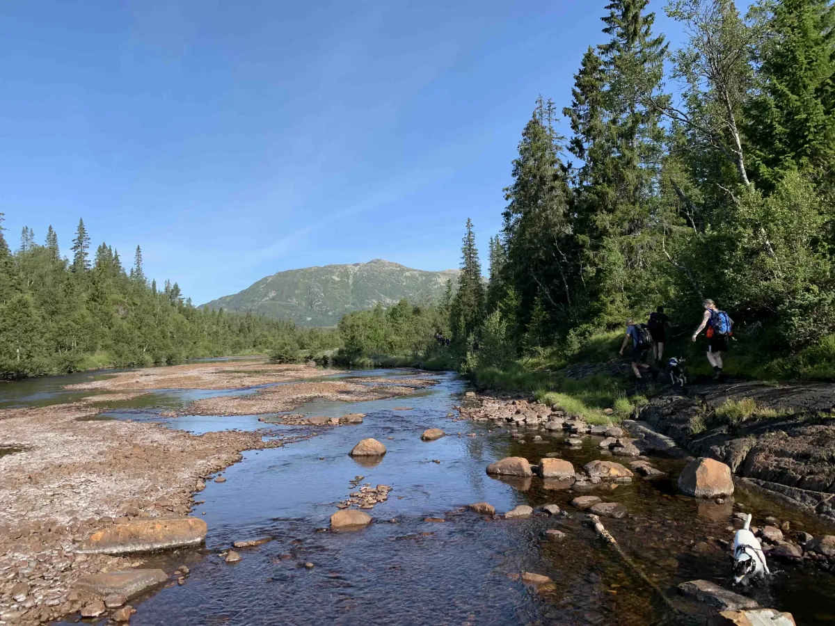
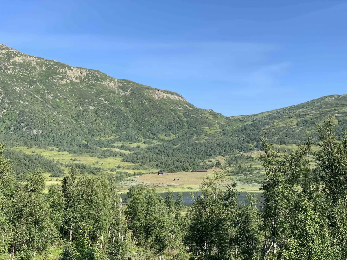
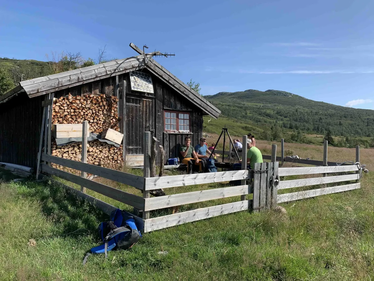
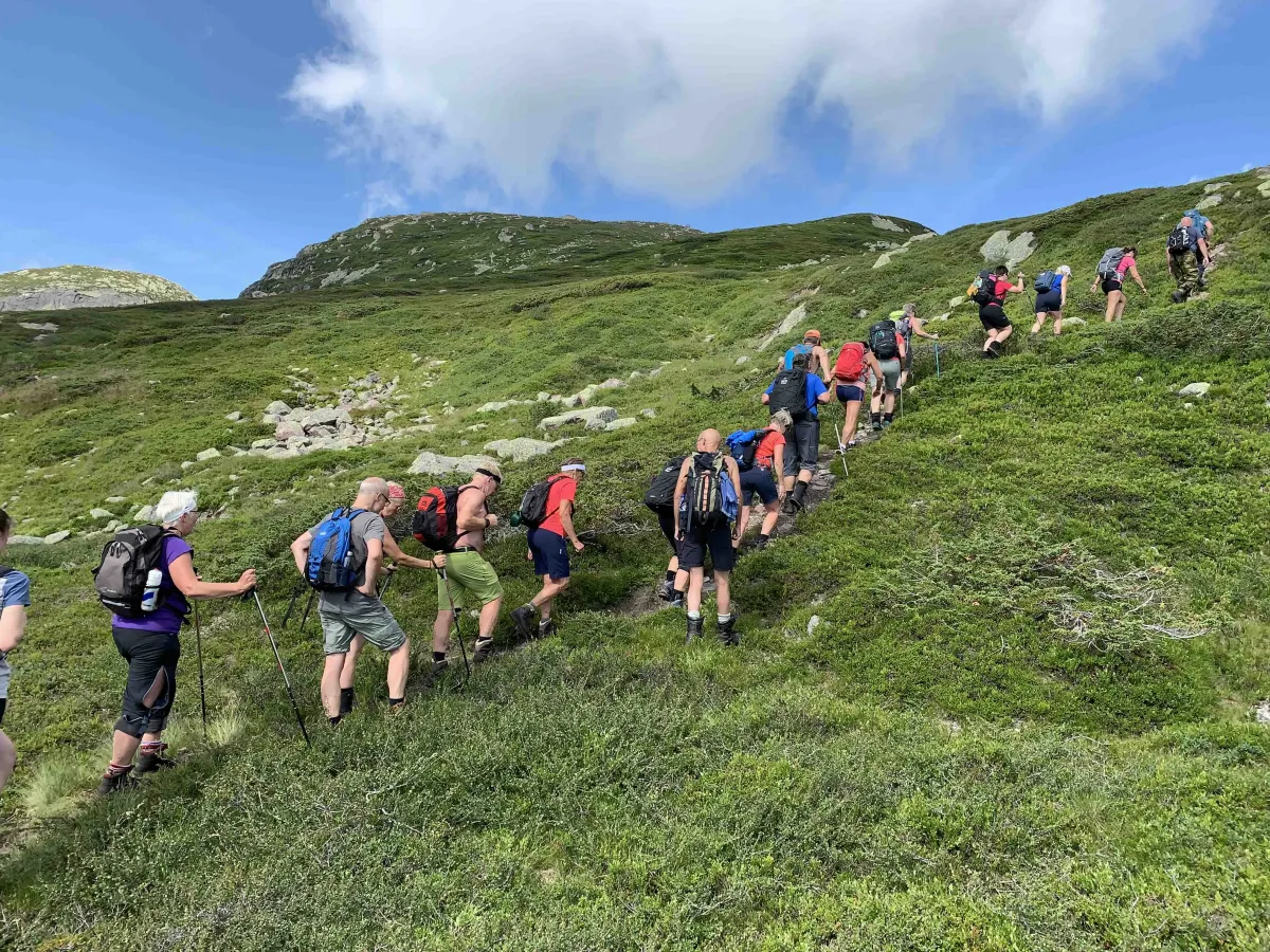
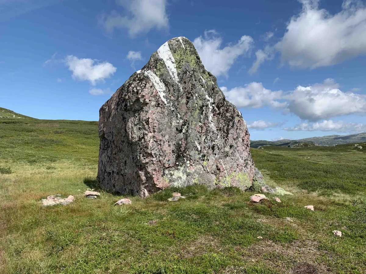
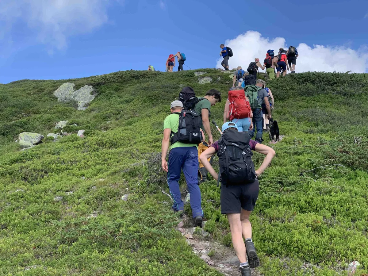
Småtjønn - Svain - Brattefjell (summit 1540 m) - Robekk - Småtjønn
Personalities:
Rein Espen Råmunddal
Organizer:
Hans Inge Hagen
Who is the tour for:
Adults over the age of 16 (children from the age of 13 can join if accompanied by an adult).
The tour is demanding and long, so you should be in good shape.
Conditions for participation:
1. All participation in the tour is at your own risk.
2. Participants should have travel insurance.
3. We will have to cancel the tour if there is heavy rain, thick fog or if the guide becomes ill.
4. Cancellations must be sent by email to hansingehagen@me.com
Distance:
approx. 20 km
Estimated time spent:
9-10 hours
In the backpack:
You need to bring plenty of food. Some drinks from the start, but there are refill options.
Charger for your phone, chafing patches,
On the body:
Dress for the conditions. It's a long trip and the weather can change suddenly. A windbreaker and an extra dry t-shirt and socks can be good to have with you.
On your feet:
This is a long hike, so you should wear well-used shoes and good socks.
Description:
Småtjønn - Svain - Brattefjell (summit 1540 m) - Robekk - Småtjønn
Personalities:
Rein Espen Råmunddal
Organizer:
Hans Inge Hagen
Who is the tour for:
Adults over the age of 16 (children from the age of 13 can join if accompanied by an adult).
The tour is demanding and long, so you should be in good shape.
Conditions for participation:
1. All participation in the tour is at your own risk.
2. Participants should have travel insurance.
3. We will have to cancel the tour if there is heavy rain, thick fog or if the guide becomes ill.
4. Cancellations must be sent by email to hansingehagen@me.com
Distance:
approx. 20 km
Estimated time spent:
9-10 hours
In the backpack:
You need to bring plenty of food. Some drinks from the start, but there are refill options.
Charger for your phone, chafing patches,
On the body:
Dress for the conditions. It's a long trip and the weather can change suddenly. A windbreaker and an extra dry t-shirt and socks can be good to have with you.
On your feet:
This is a long hike, so you should wear well-used shoes and good socks.
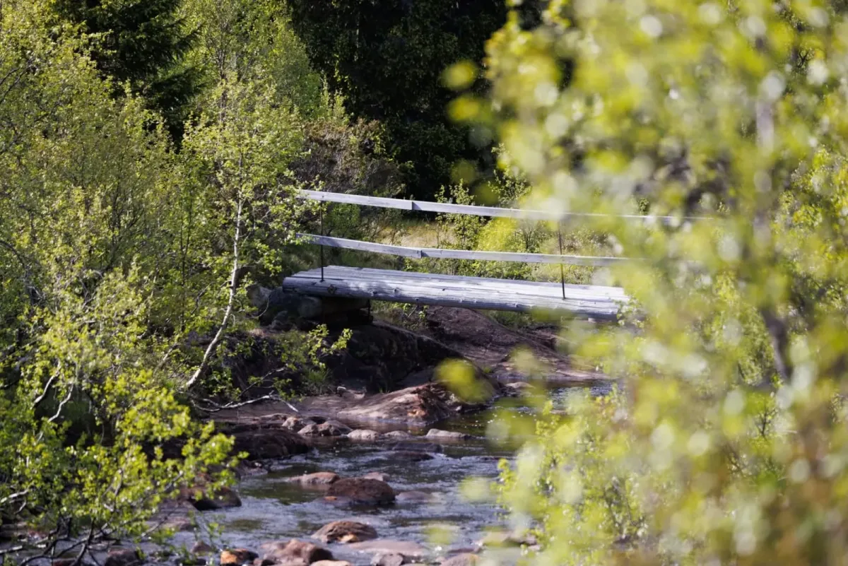
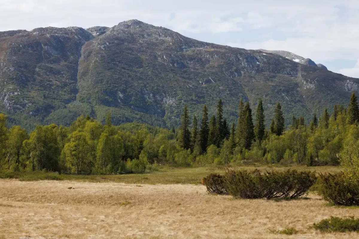
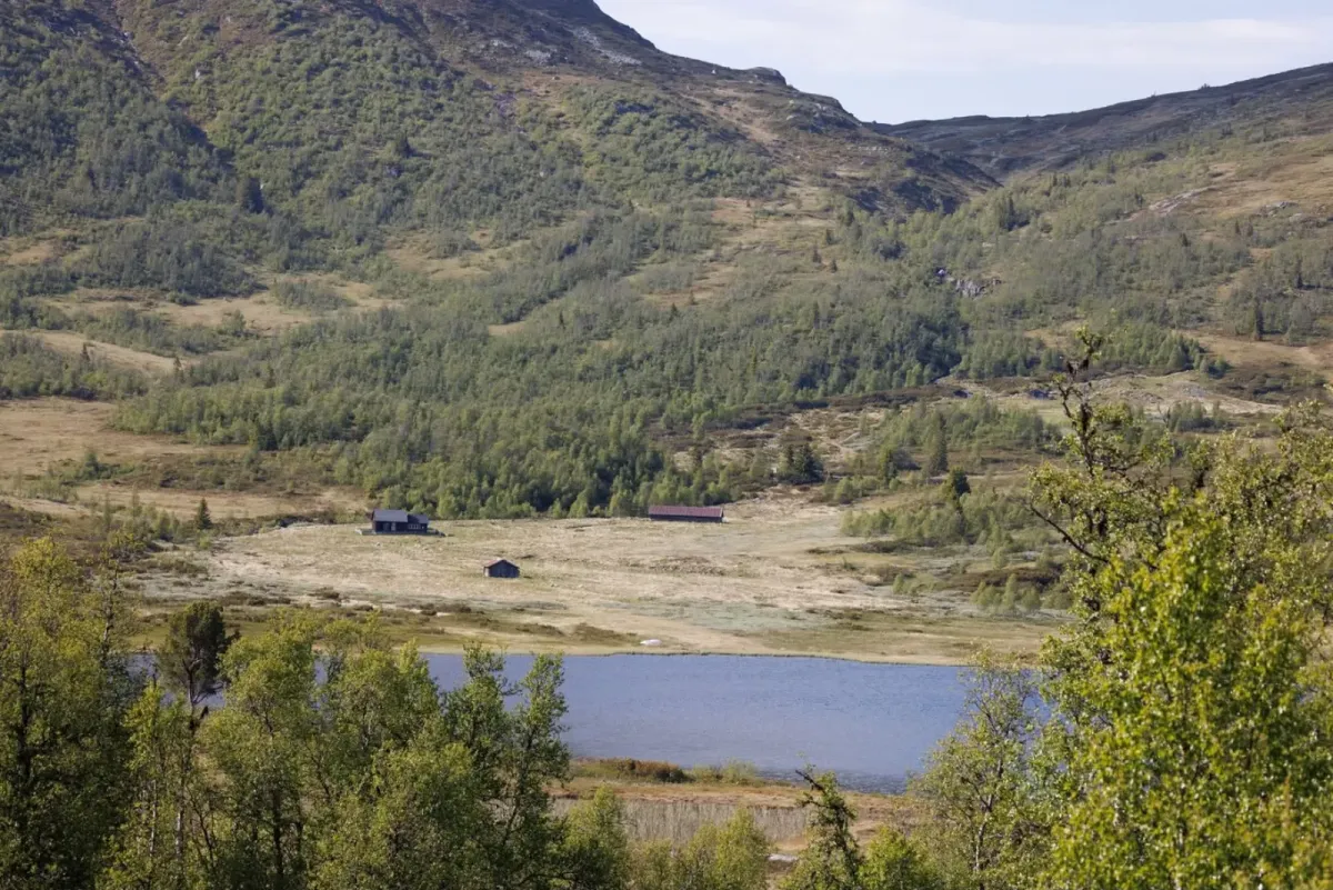
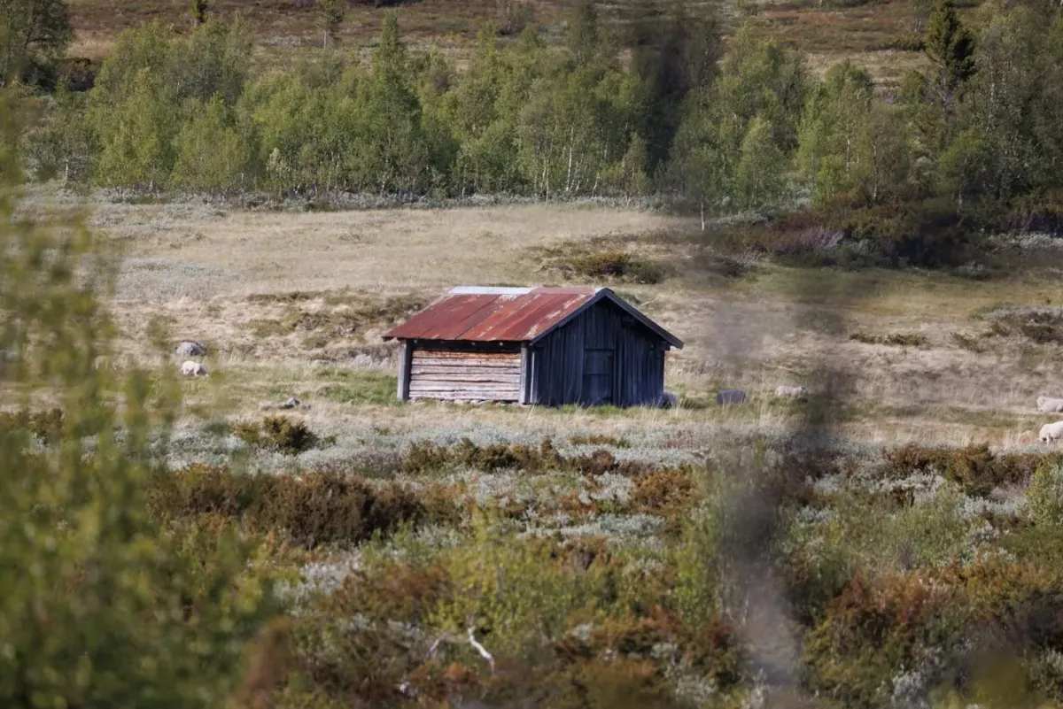
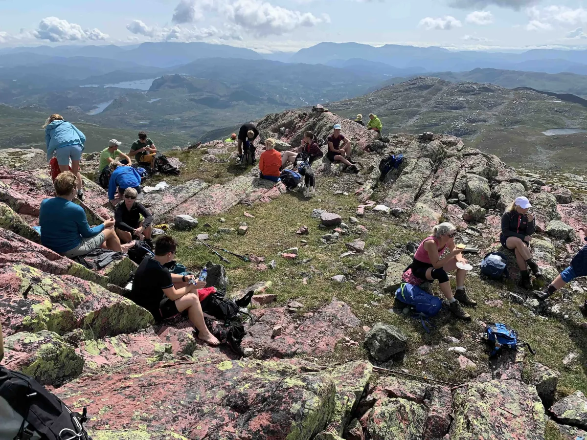
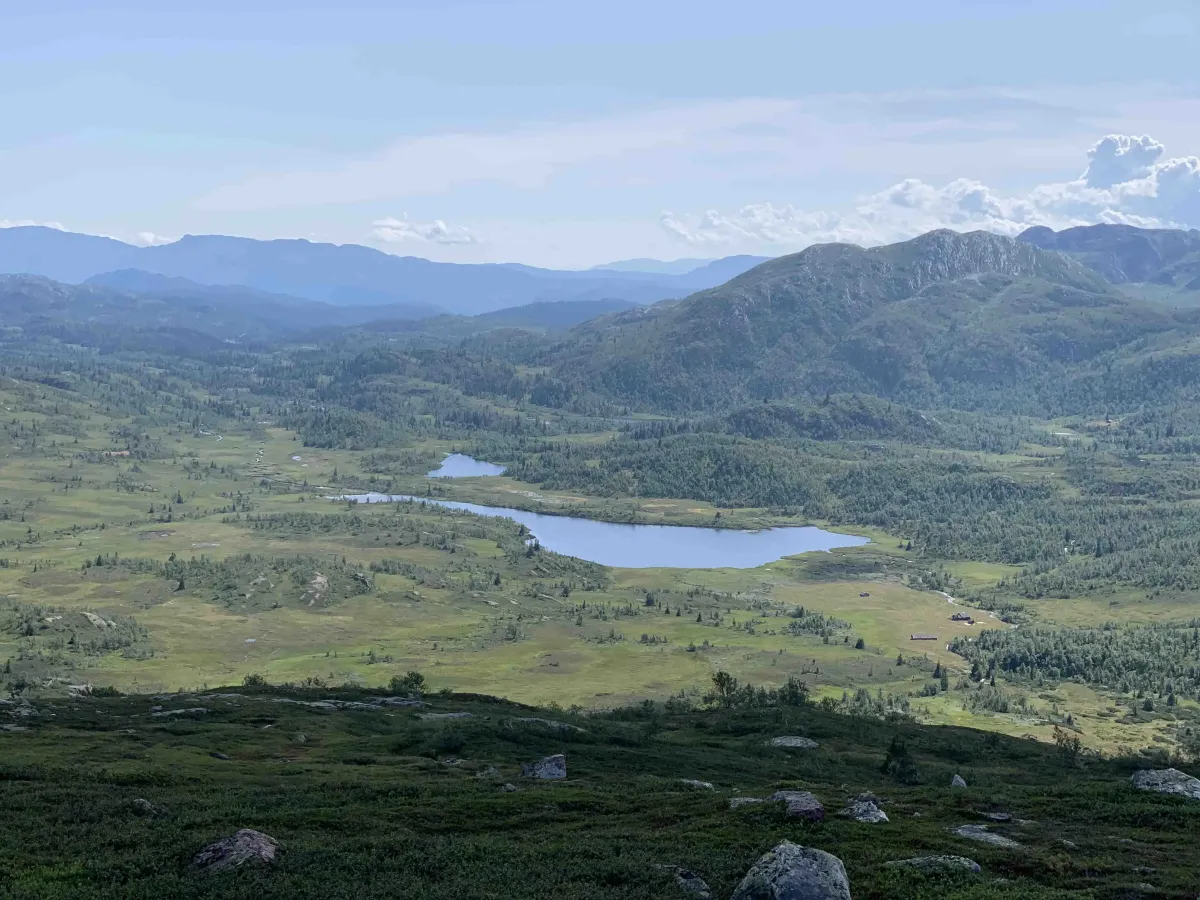
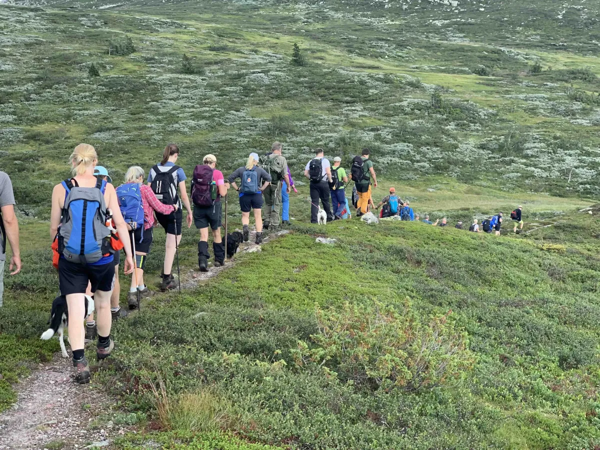
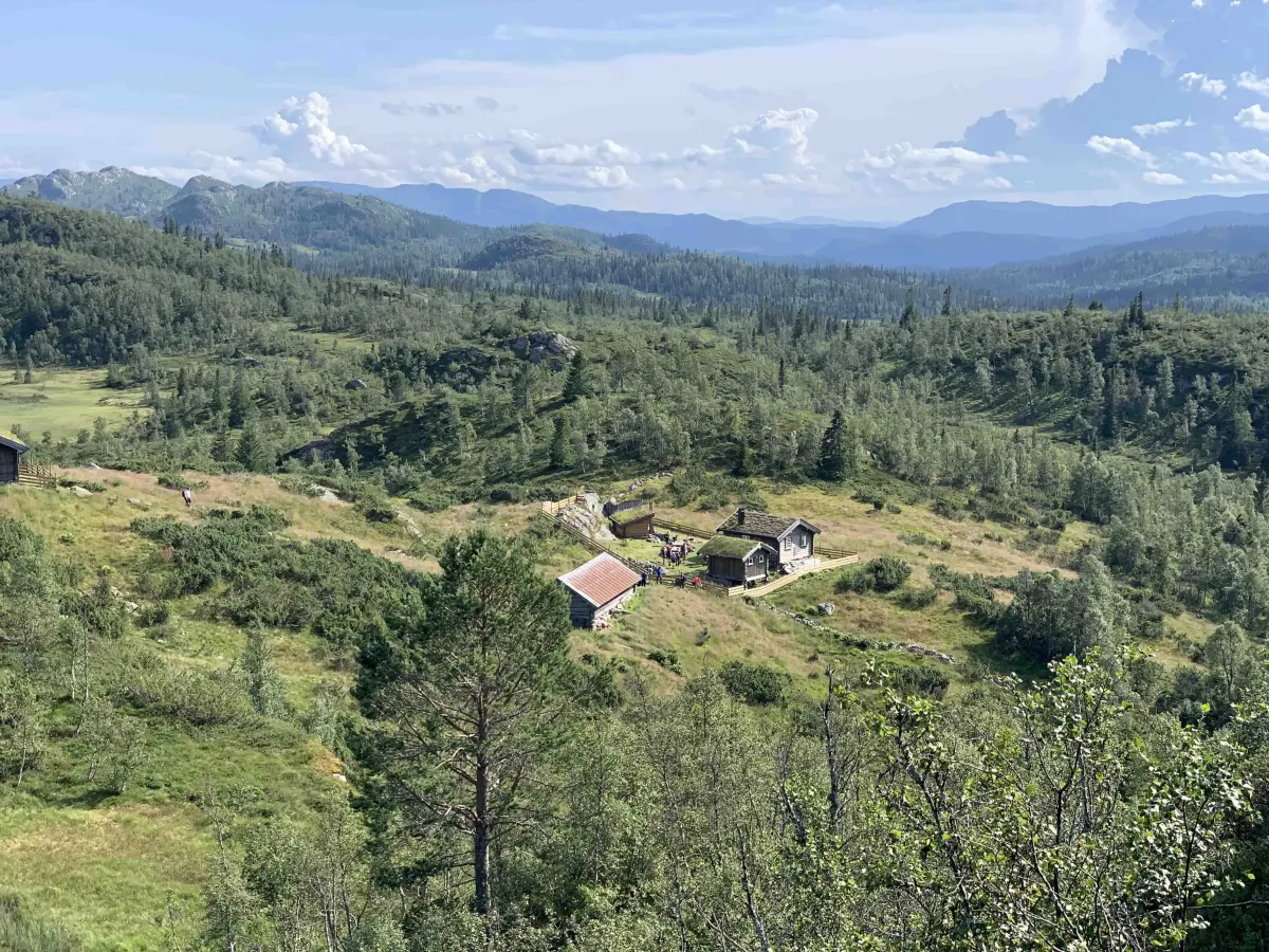
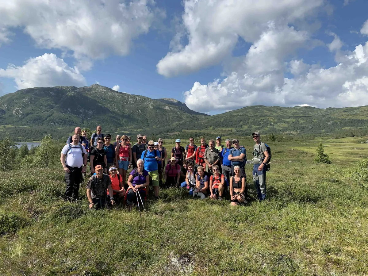
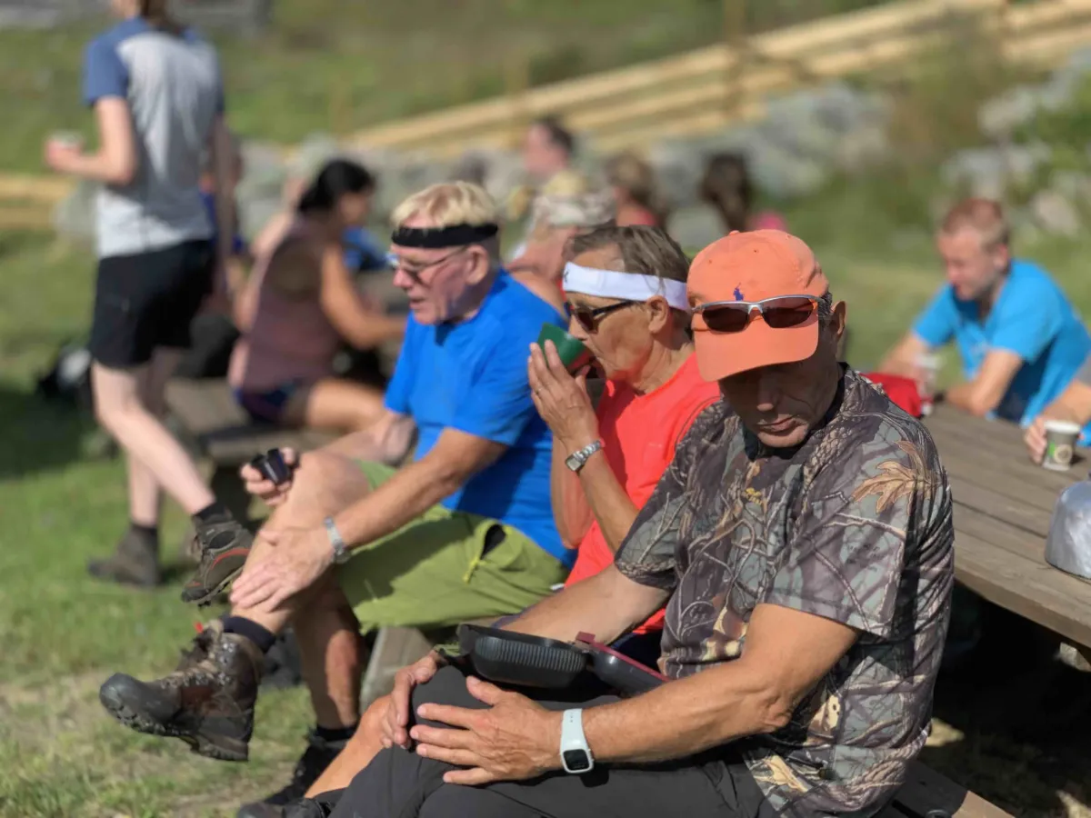
Photos (27)
1 / 27
Videos (2)
Turen 4 august 2019
Brattefjell - toppen
User photos (16)
1 / 16
Practical info
- Direction
- tur-retur
- Season
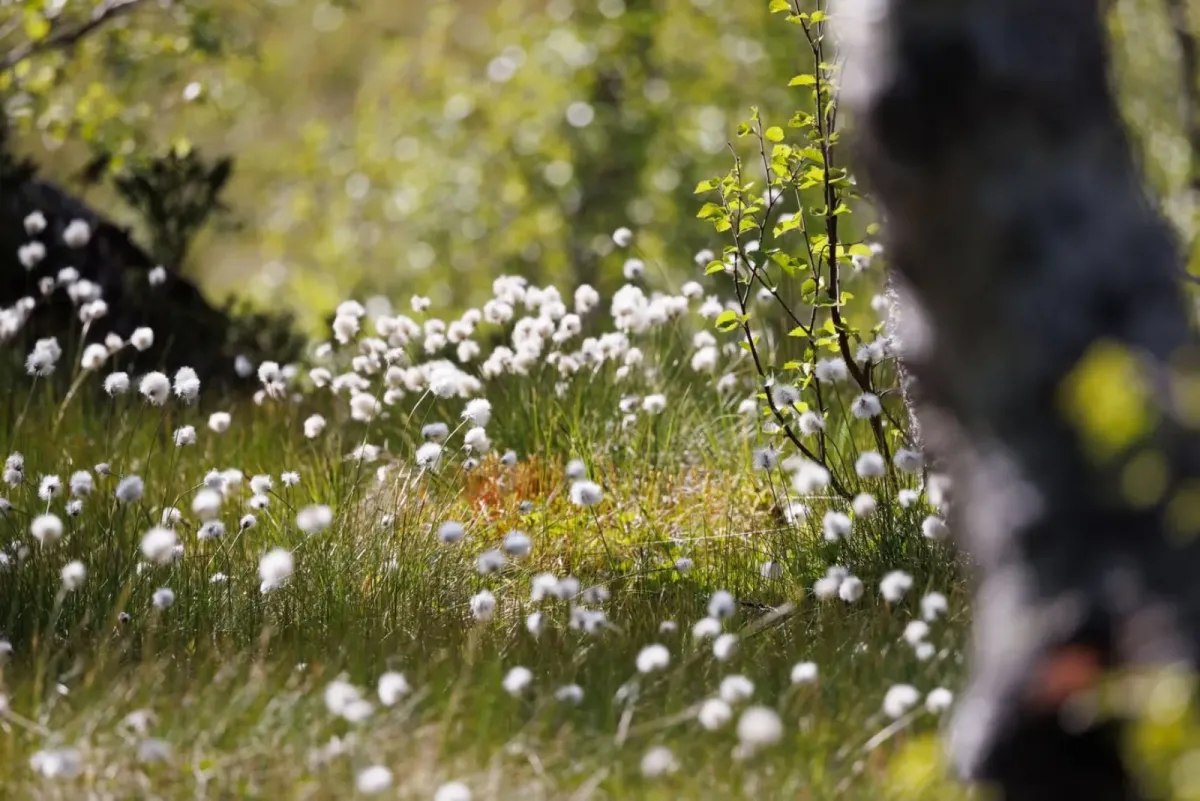
- Summer
- Trail quality
- 2/5
- Solitude
- 7/5
Got any good trail tips?
Åmotsdal
Telemark
fintur.no
Telemark
fintur.no