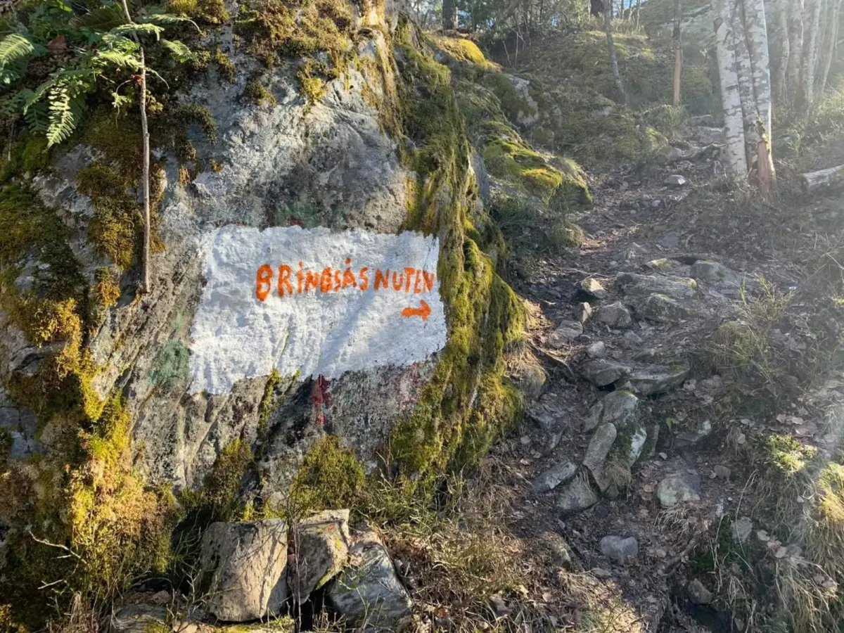
Bringsåsnuten
 T
T
Weather forecast
Hentar vêrdata…
Kjelde: Yr.no (Meteorologisk institutt)
Map and route
S Start
M Finish
▲ Highest point
▼ Lowest point
km Main route
km Alternativ rute
↕ m Elevation
About this hike
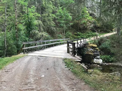
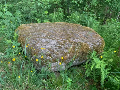
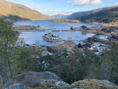
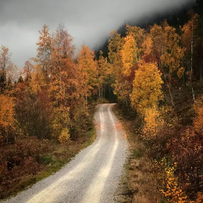
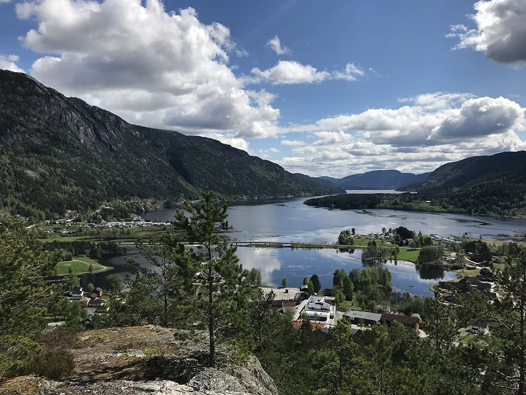
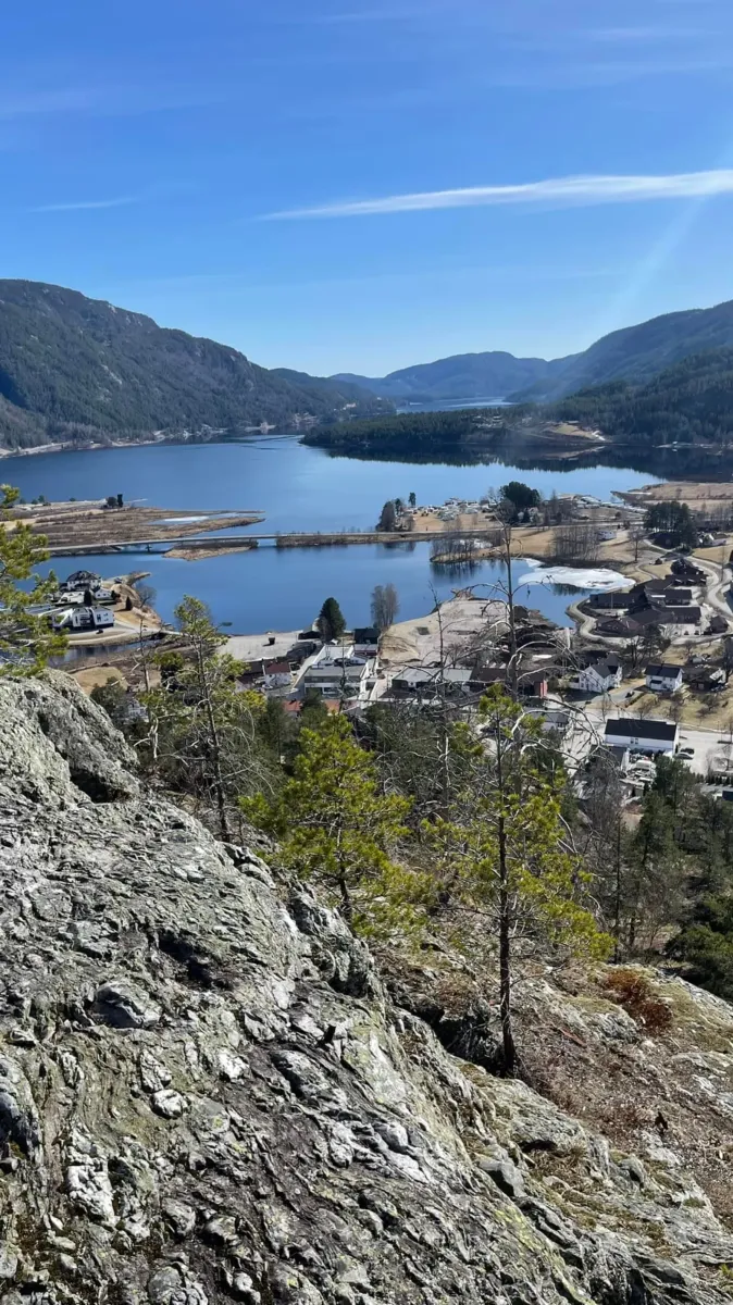
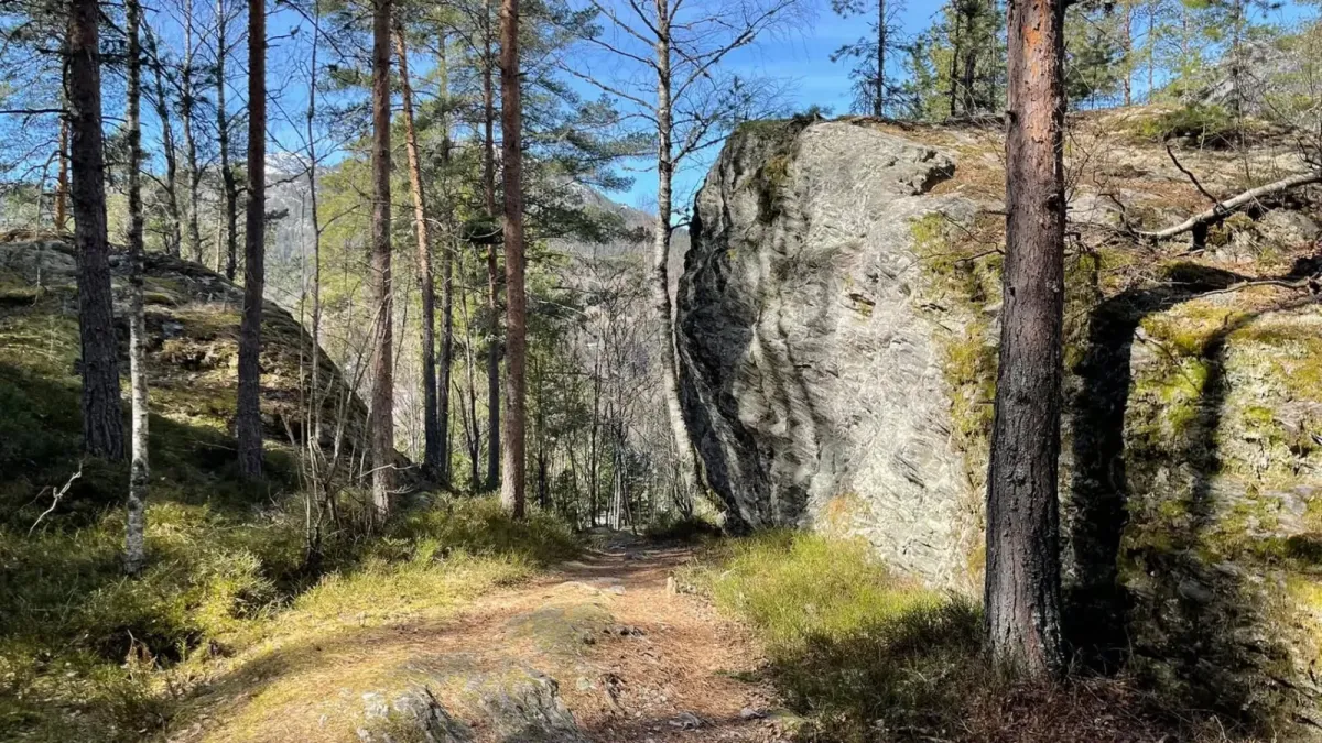
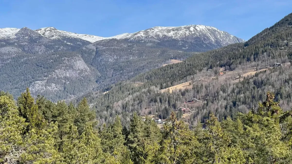
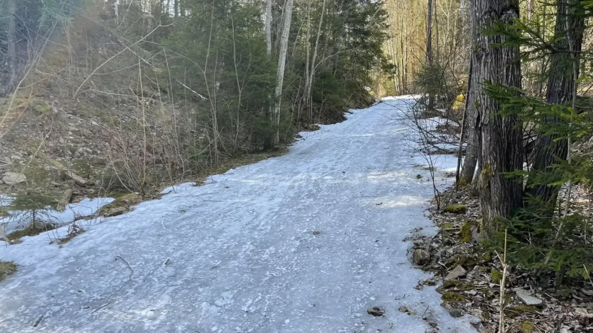
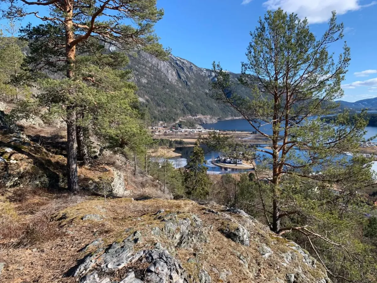
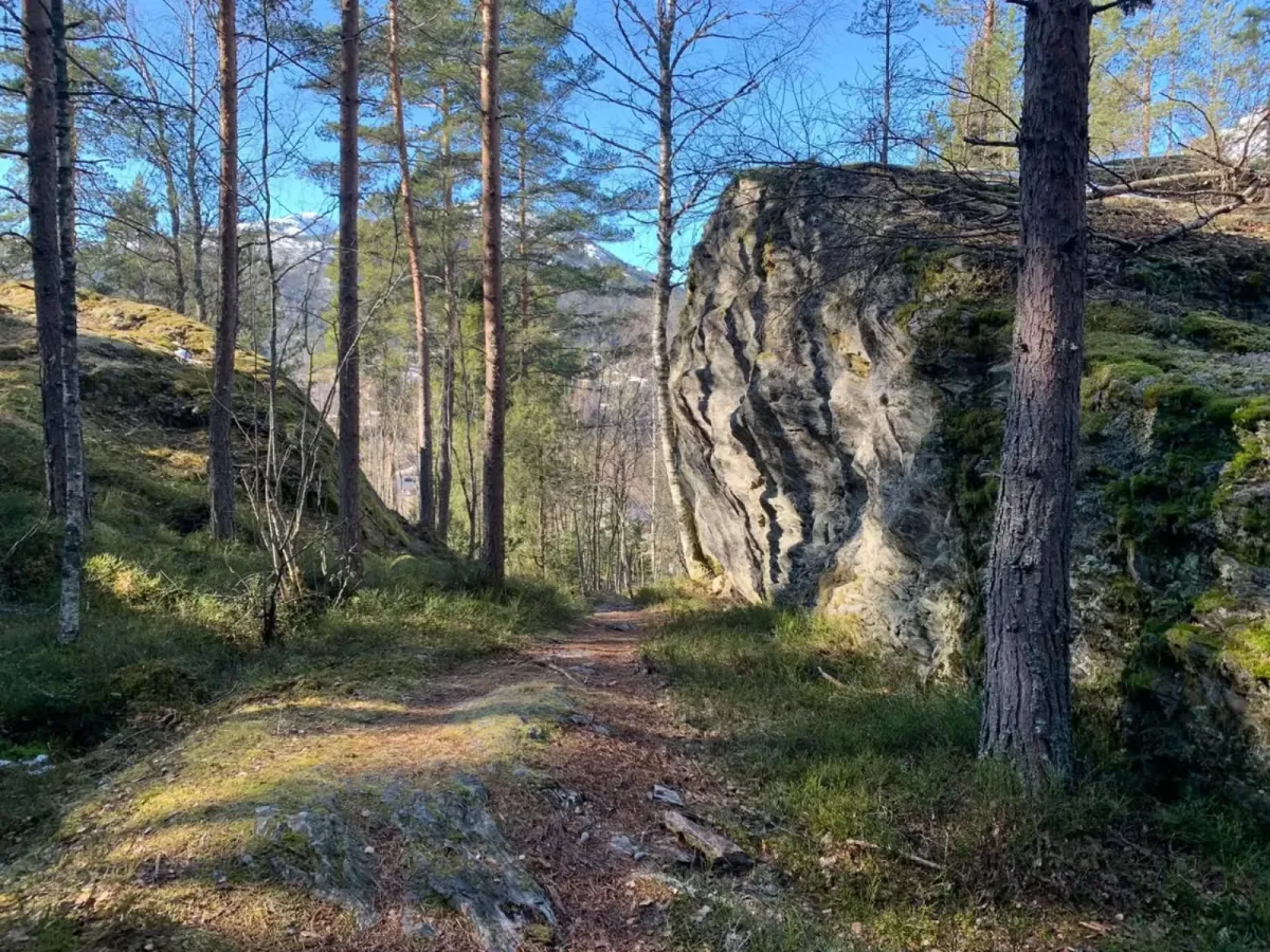
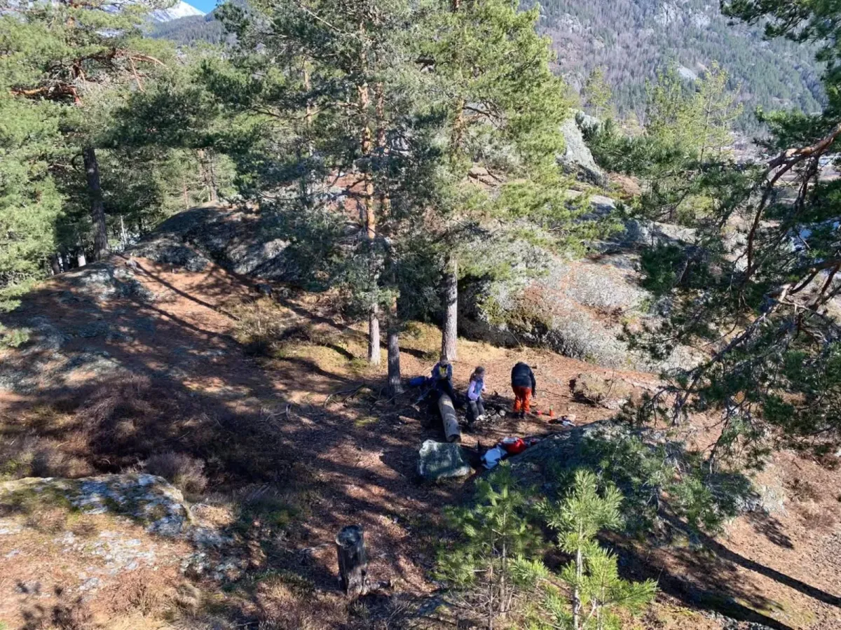
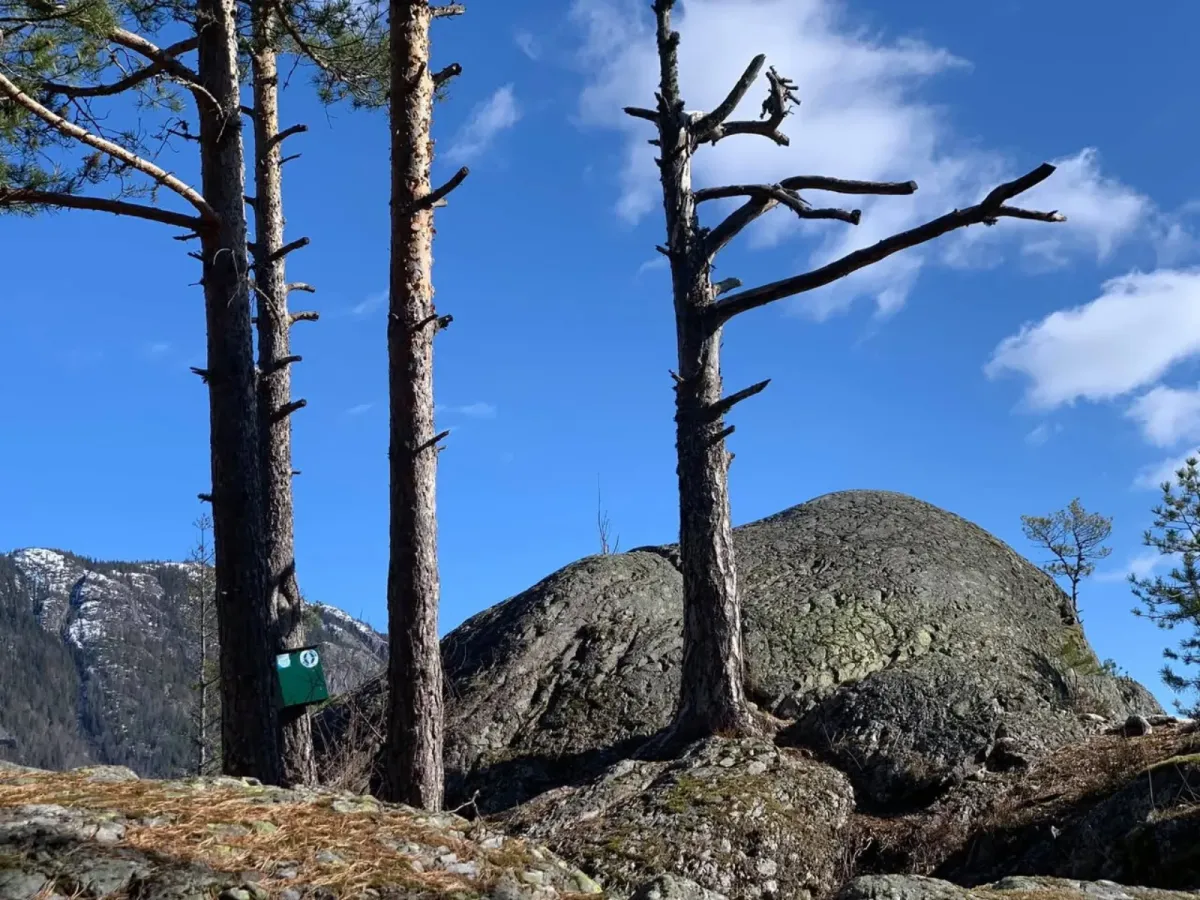
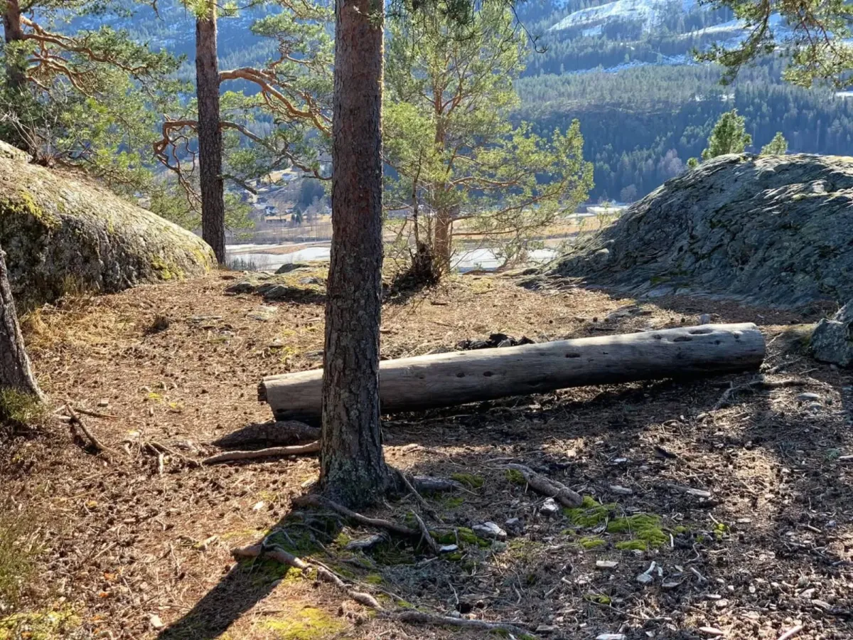
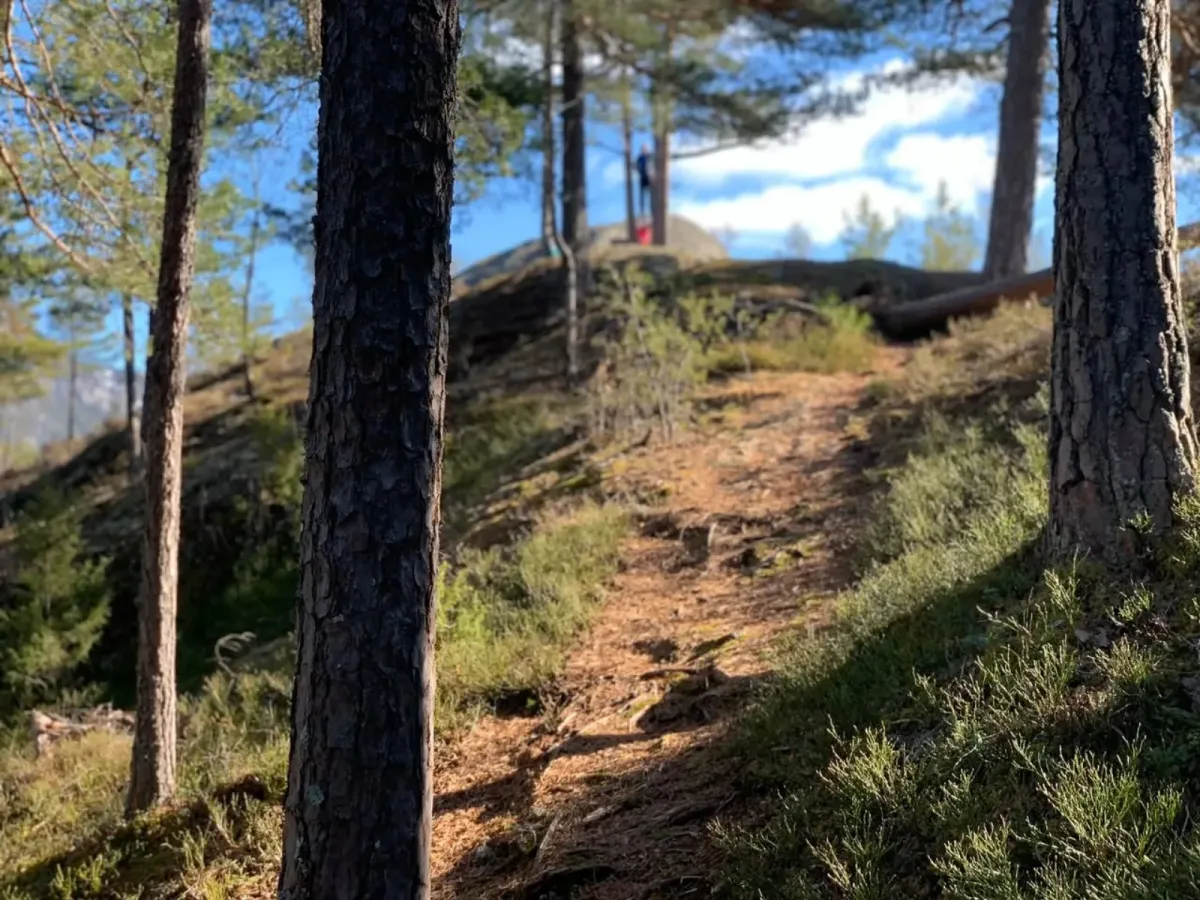
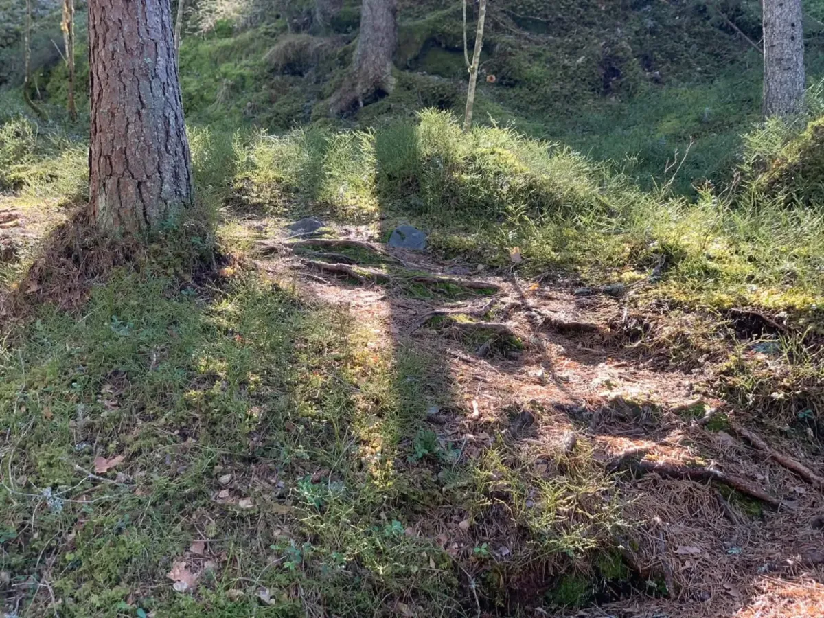
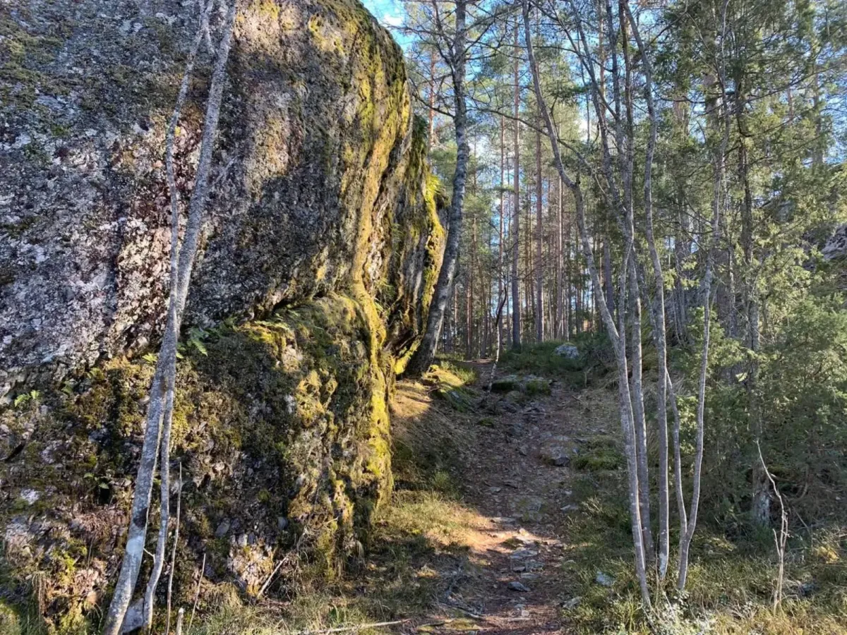
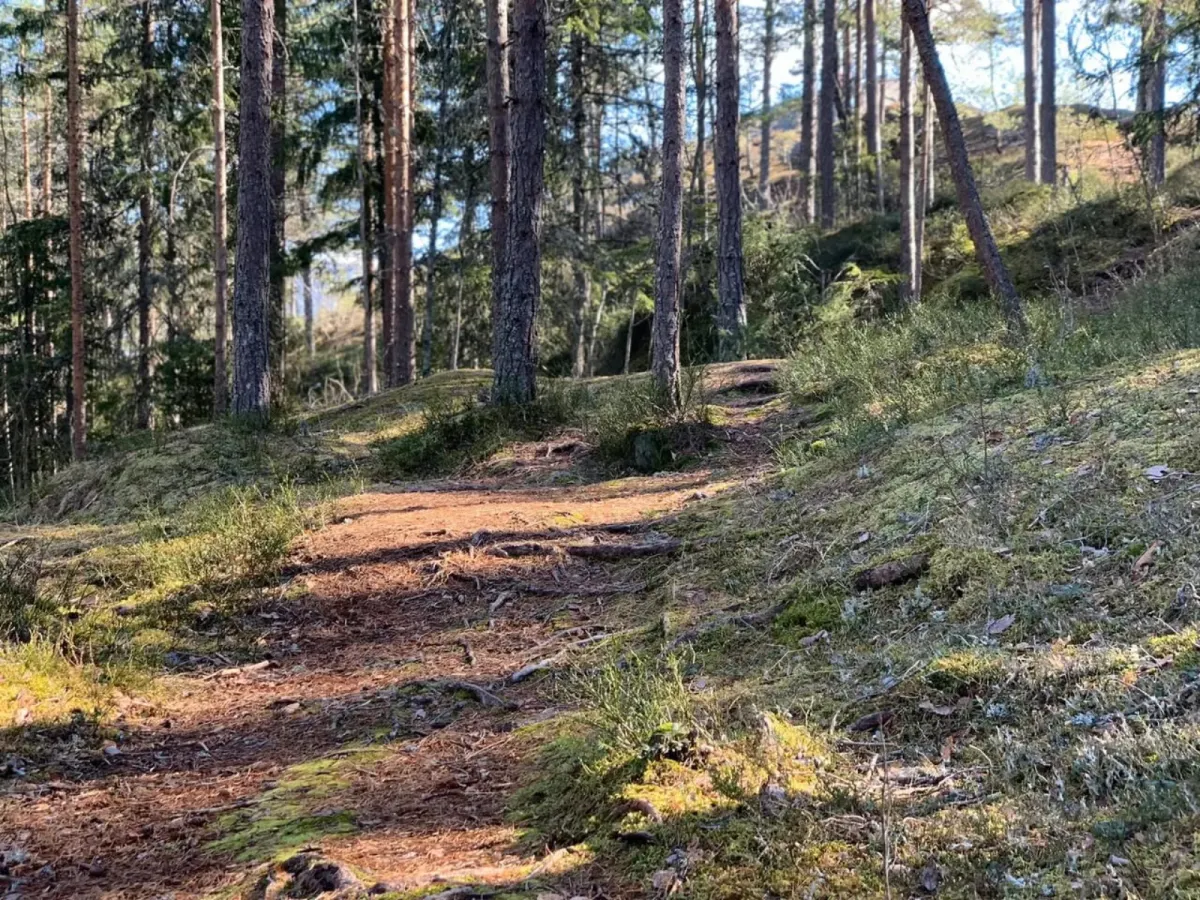
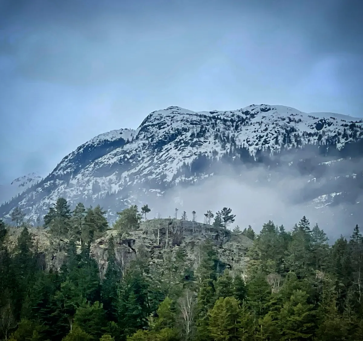
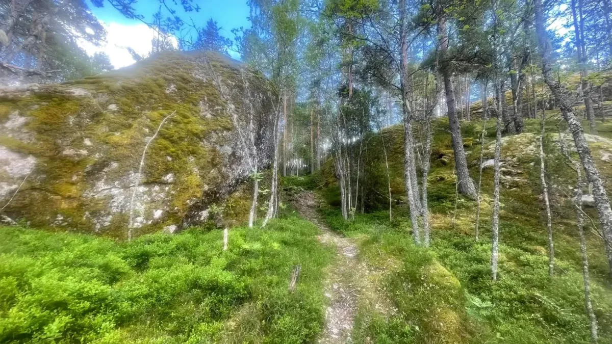
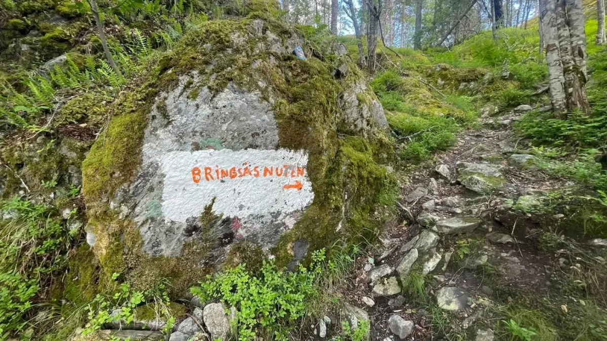
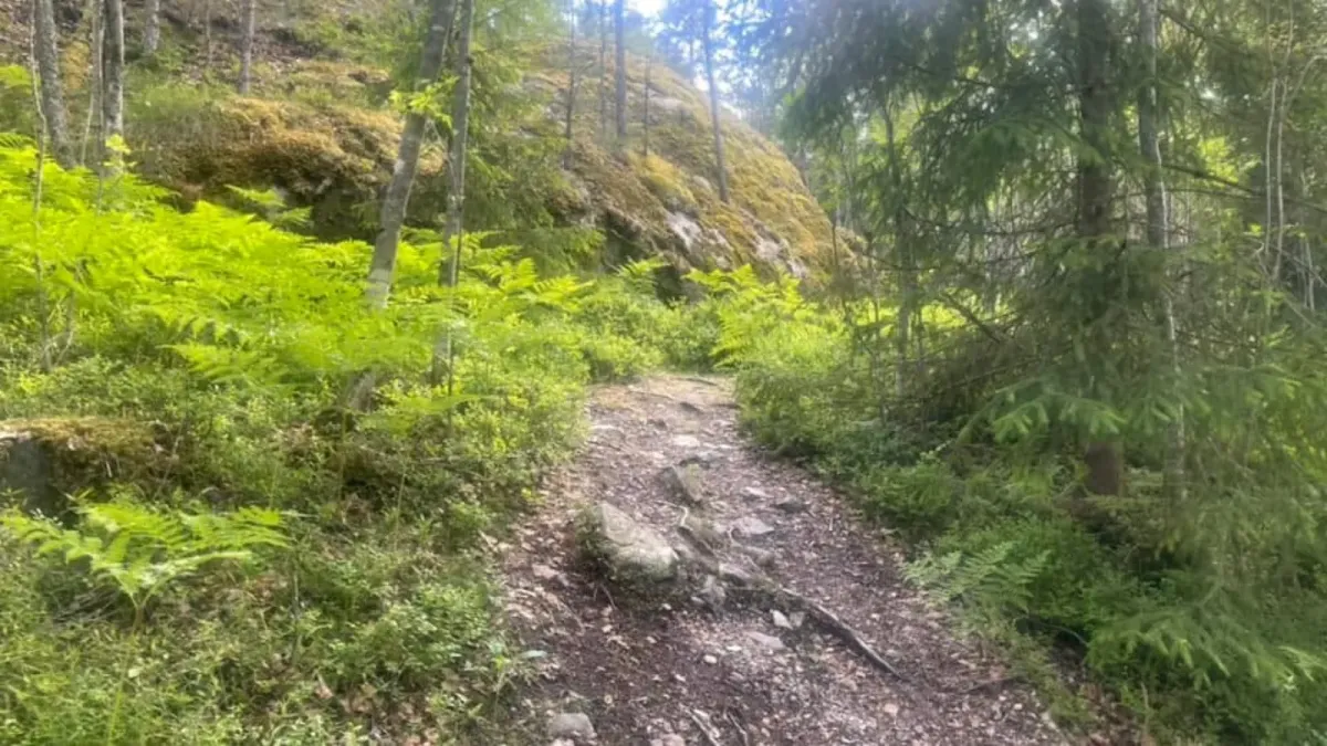
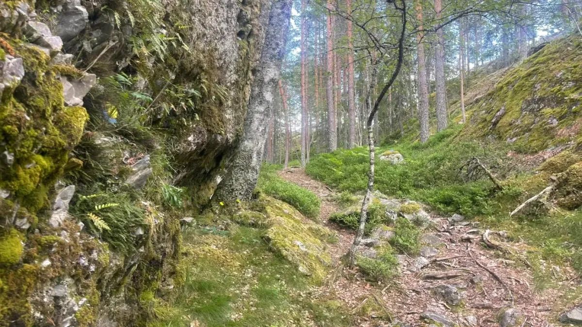
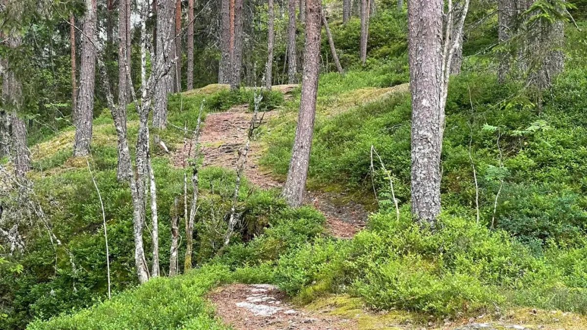
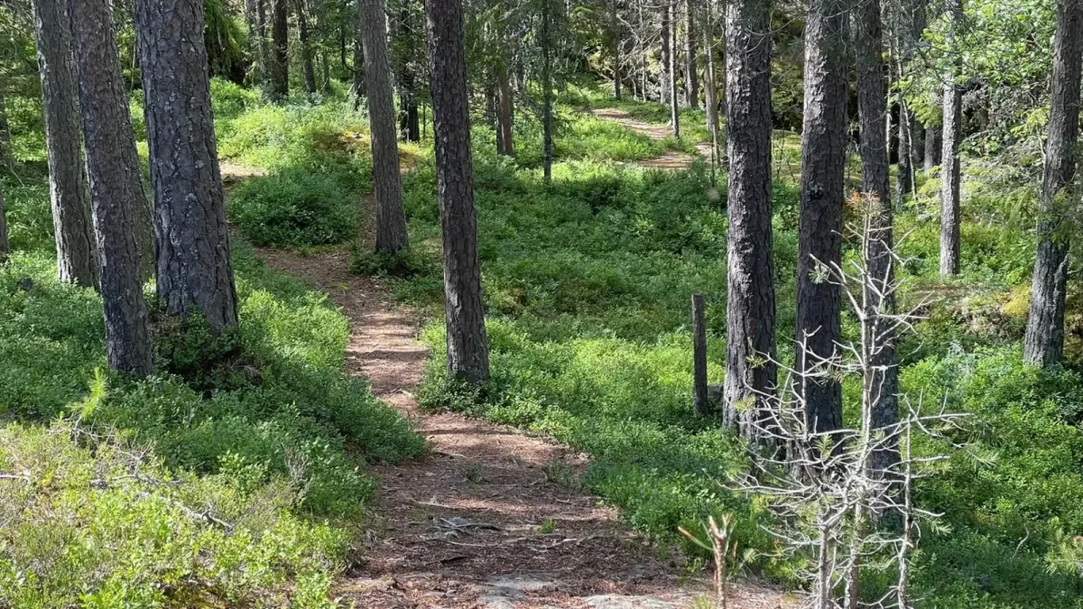
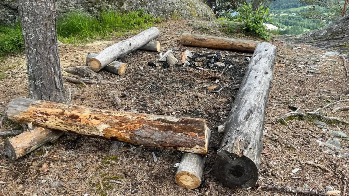
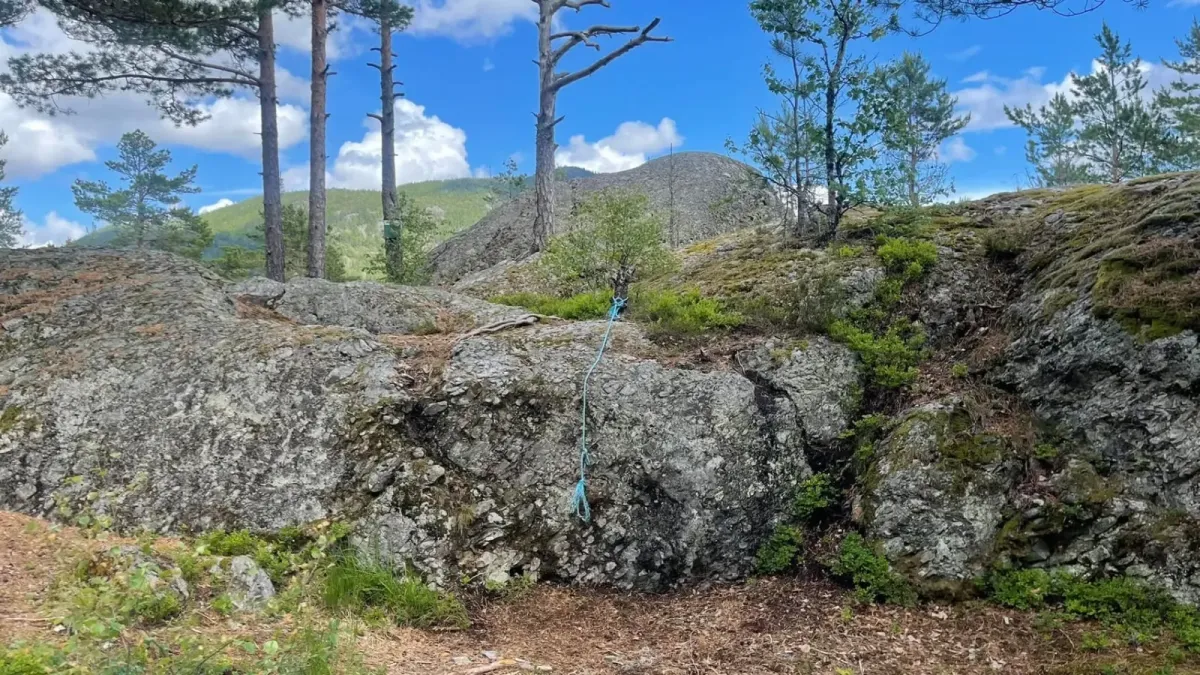
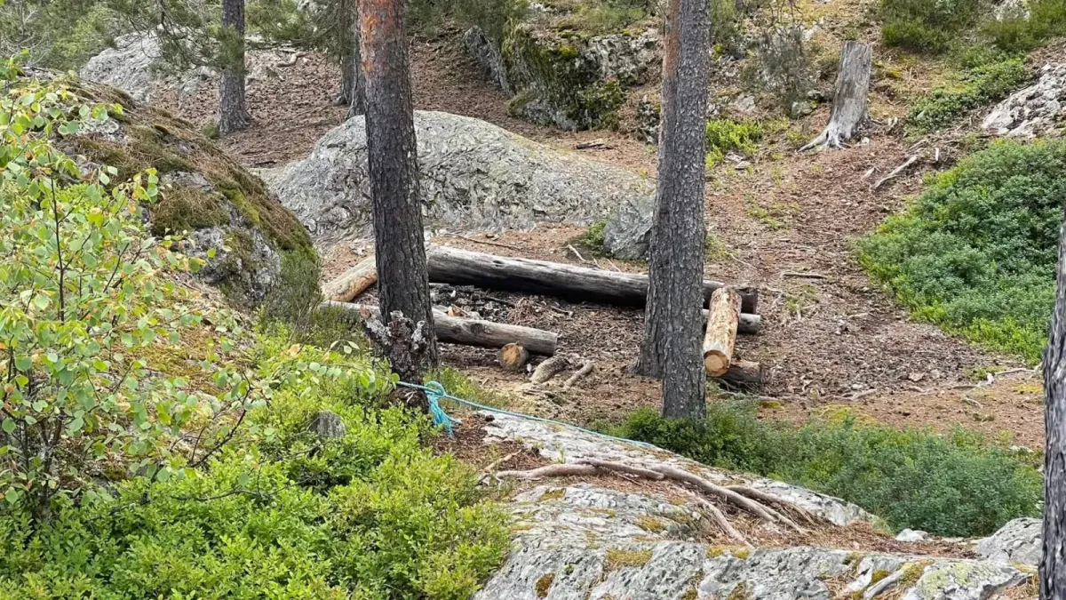
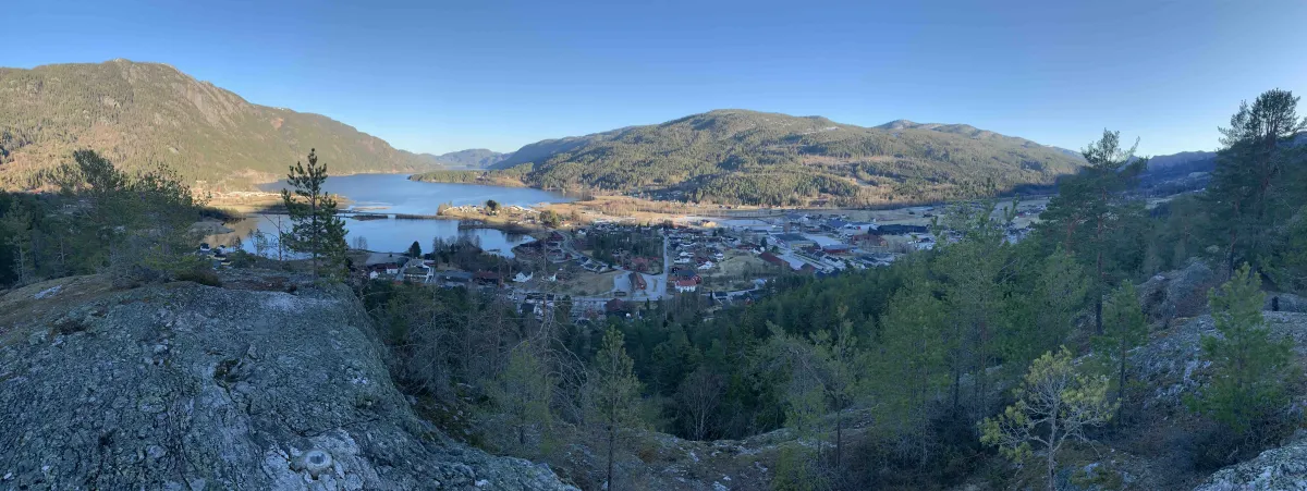
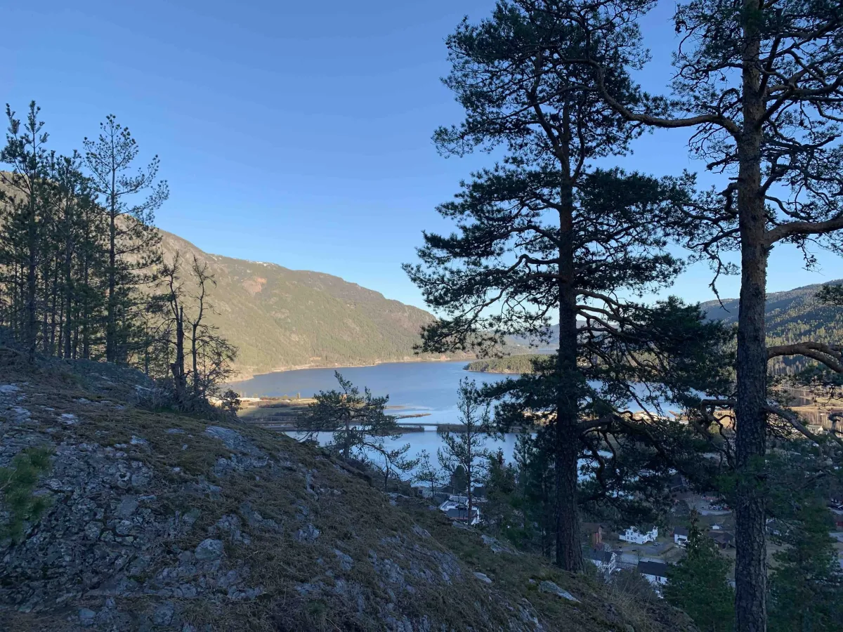
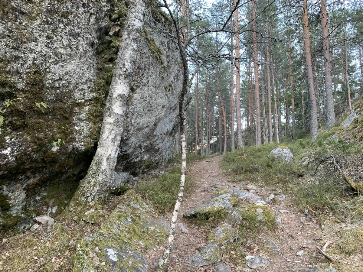
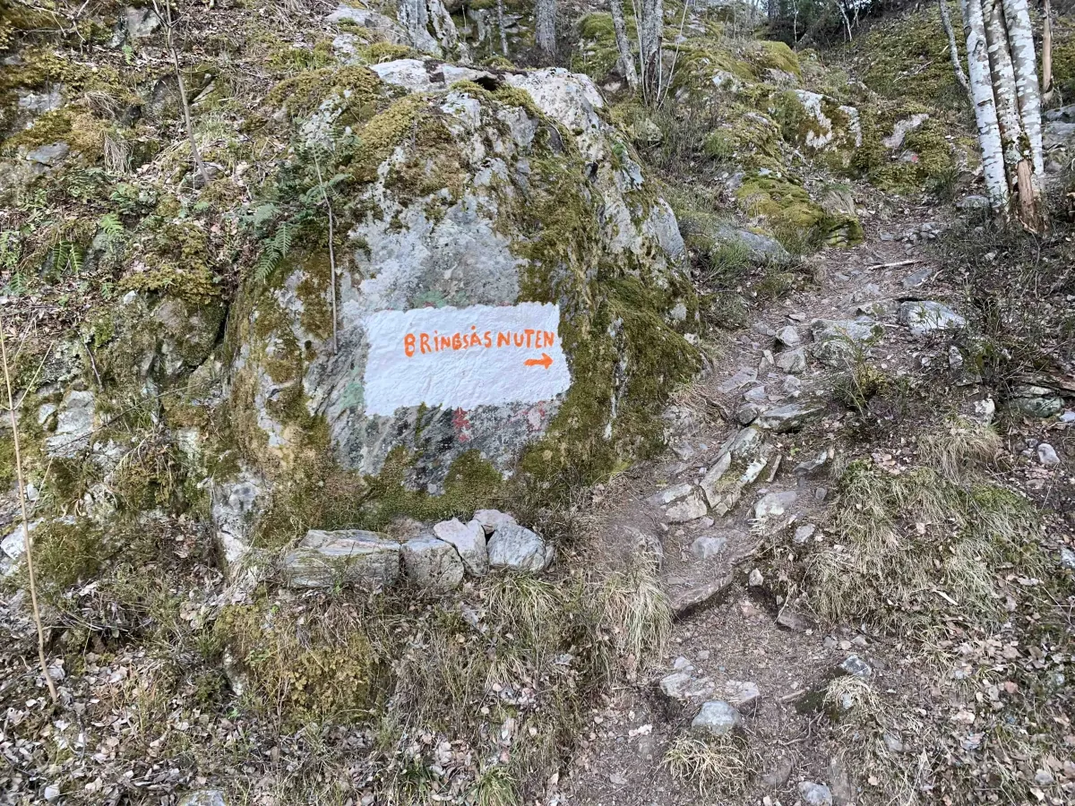
Bringsåsnuten is a well-known and well-loved little nut in the center of Seljord. It is a great viewpoint towards Seljordvatnet in front, down towards the center, towards Dyrskuplassen to the right and Bjørgeøyane to the left. If you turn around, you can see straight up towards Skorve (1369 m above sea level). This small and easily accessible hut can be reached in several ways. If you start from the parking lot on Eventyrøy, walk up to the church and back along Prestegardsvegen and up the path to Bringsøs. From there, walk through the building site and up the road towards the top. Once you reach the end of this road, turn right onto the path that leads directly to the top (235 meters above sea level). You can also choose to walk up Gamle Gullnesveg or up the "school path". The trip takes no more than about 30 minutes of normal walking. You don't need a big bag or sturdy shoes. The summit is pure rock and children should be careful. It can be a little scary, as there is a steep slope at the front. An alternative route is from Granvin up Gravshaugane to Bringsås.
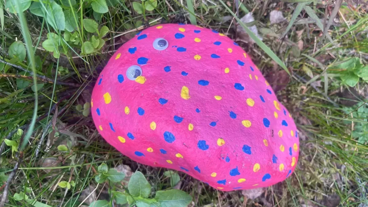
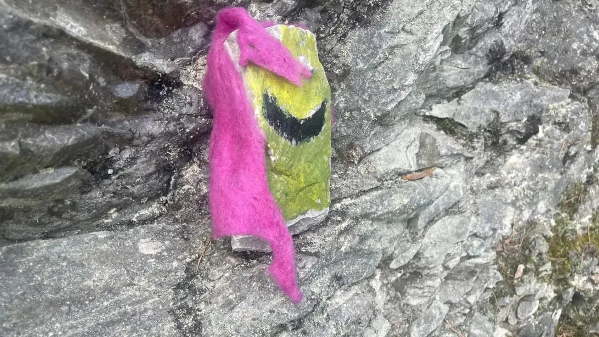
Photos (32)
1 / 32

Videos (1)
Bringsåsnuten - turen opp
User photos (6)
1 / 6
Practical info
- Direction
- tur-retur
- Season
- Summer
- Trail quality
- 3/5
- Solitude
- 8/5
Got any good trail tips?
Seljord
Telemark
fintur.no
Telemark
fintur.no