Fyljomsnuten
Fee
The road or car park has a fee. Bring small change. Some take cards and Vipps.
Weather forecast
Hentar vêrdata…
Kjelde: Yr.no (Meteorologisk institutt)
Map and route
S Start
M Finish
▲ Highest point
▼ Lowest point
km Main route
km Alternativ rute
↕ m Elevation
About this hike
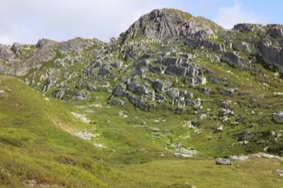
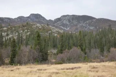
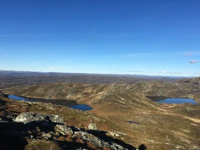
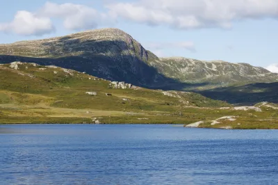
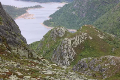
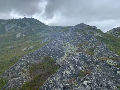
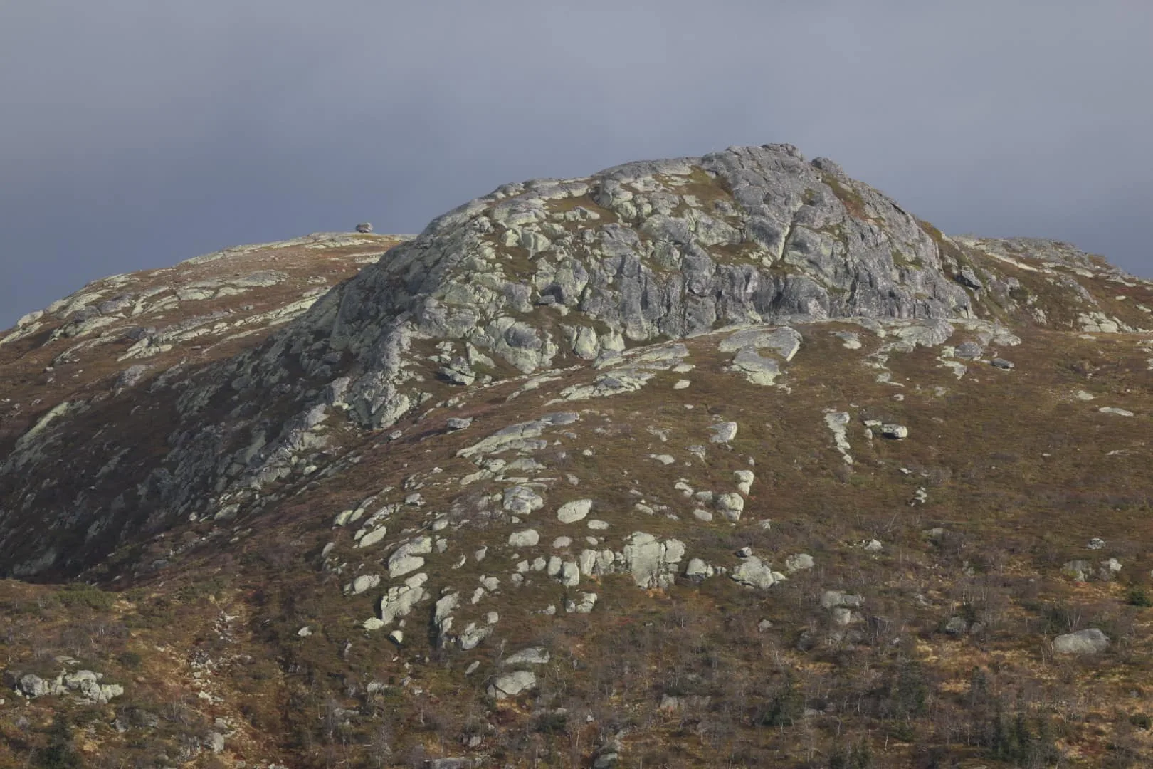
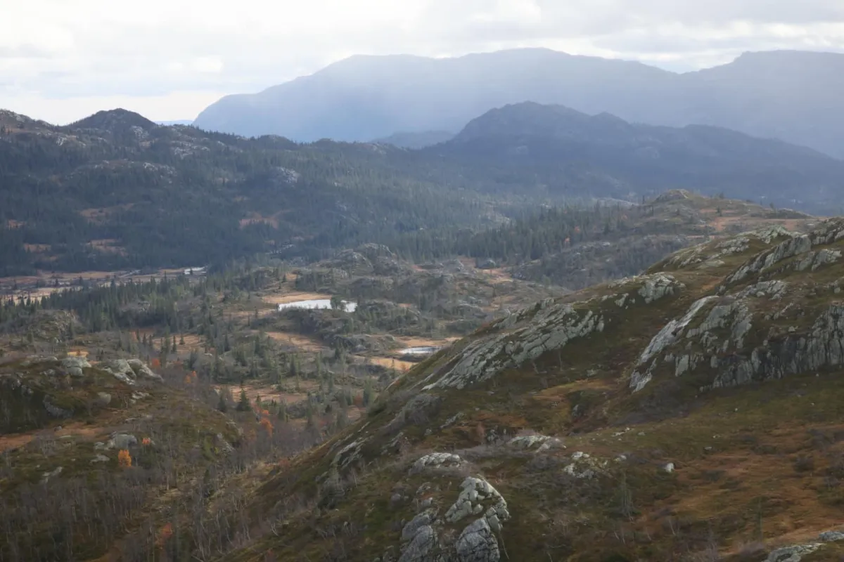
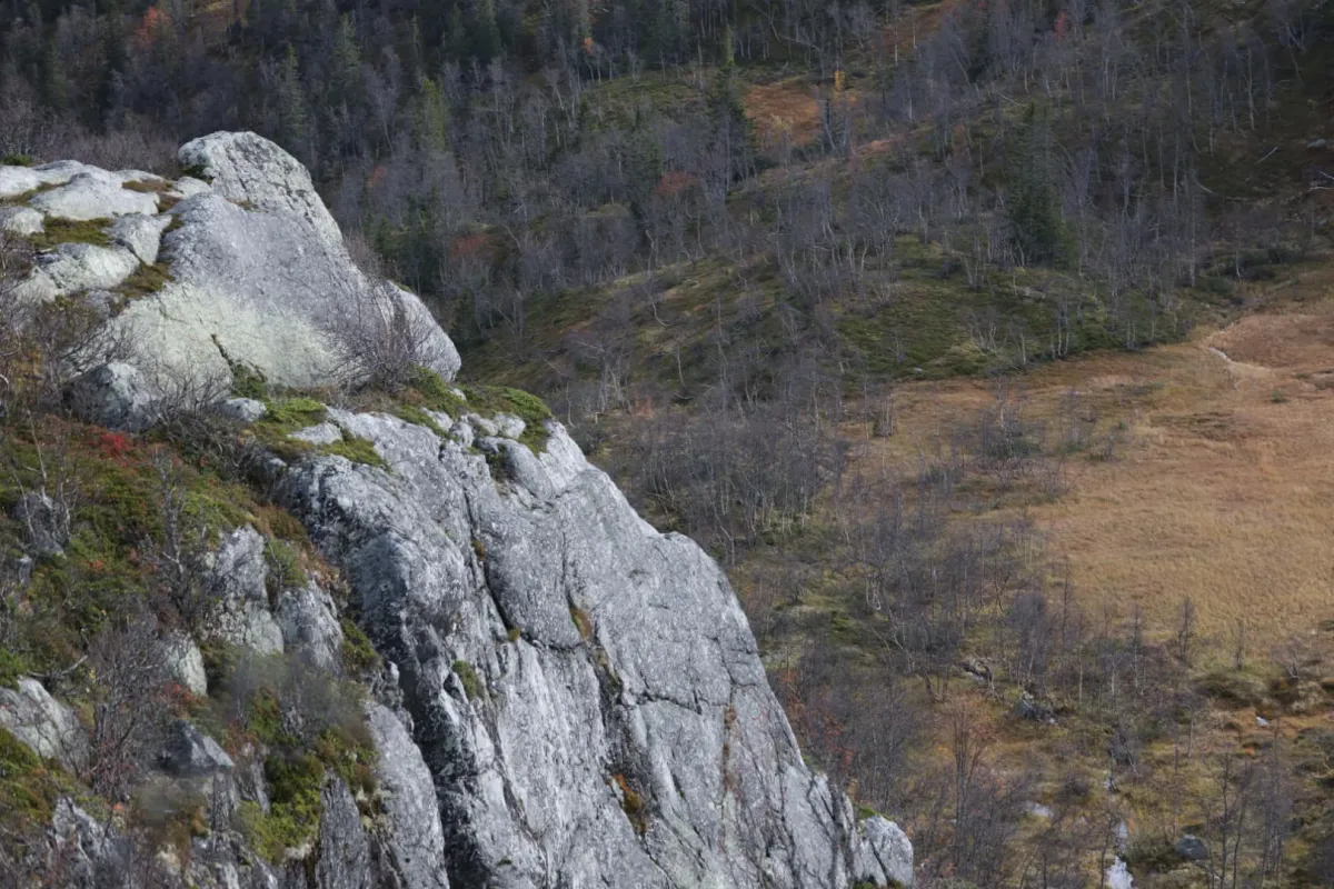
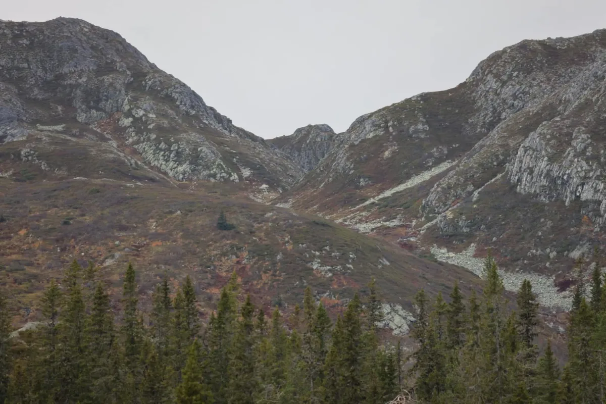
Fyljomsnuten (1169 m) is located well inside the Brattefjell/Vindeggen nature conservation area. The view from Fyljomsnuten is fantastic. You have a full overview of the plains down towards Svain and down Heiåi. Vålånuten (1133 m) on the other side of the valley comes into view and lies almost parallel to each other. You can walk from Småtjønn, where there is parking, and up along Heiåi to Krakset. From there you can walk west and into the valley towards Fyljomstaul. You turn off a little earlier and walk along the edge up to the top. The hike is then about 10 km and takes 3-4 hours if you include some breaks. Nice colors in the mountains now. The weather can be somewhat unstable. But, I managed well. Rain on both sides, but not so much in the middle. That's where I went.
Photos (5)

1 / 5
Practical info
- Direction
- tur-retur
- Season
- Summer
- Trail quality
- 2/5
- Solitude
- 7/5
Got any good trail tips?
Åmotsdal
Telemark
fintur.no
Telemark
fintur.no