Gryvlun
Parking Kopperobakken
Due to work this summer at Sletteva
Fee
The road or car park has a fee. Bring small change. Some take cards and Vipps.
Weather forecast
Hentar vêrdata…
Kjelde: Yr.no (Meteorologisk institutt)
Map and route
S Start
M Finish
▲ Highest point
▼ Lowest point
km Main route
km Alternativ rute
↕ m Elevation
About this hike
Gryvlun - a pinnacle adventure on Øvre Åmotsdalsheiane
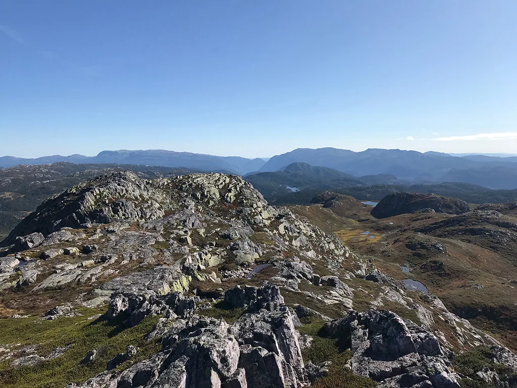
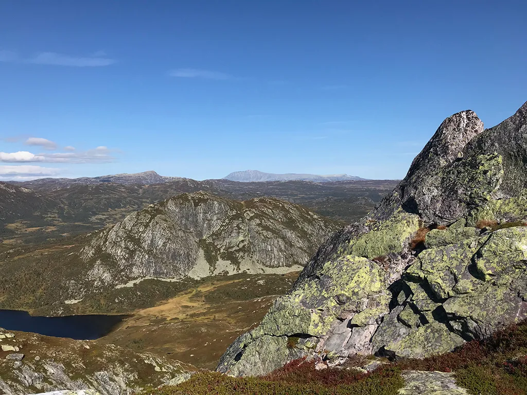
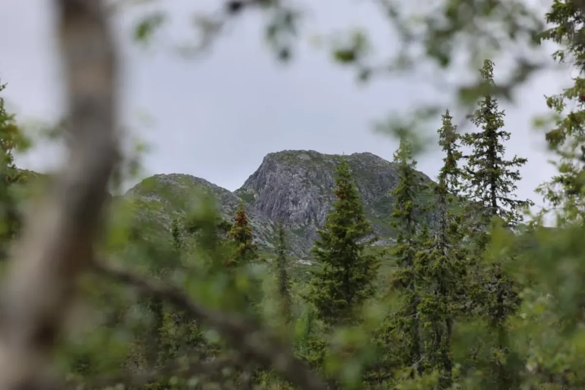
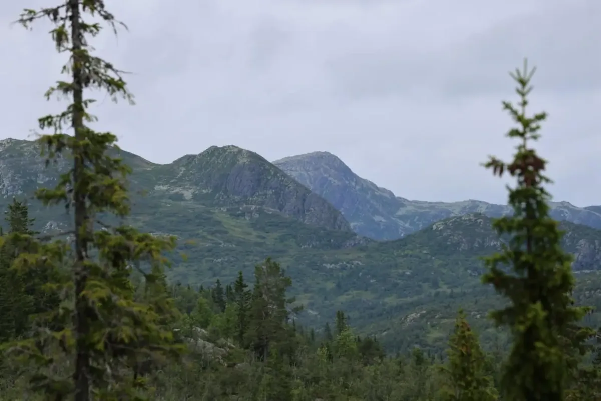
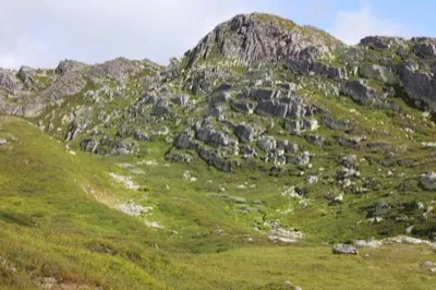
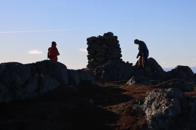
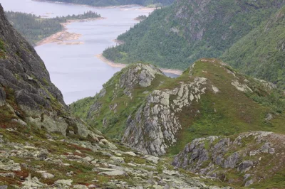
Gryvlun is an impressive and distinctive mountain in Åmotsdal - known for its sharp pinnacles and pointed peaks, which make it extra fun to reach the top. From the summit, you get a magnificent view of the moors and pinnacles in all directions, and you really feel like you're standing in the middle of the mountain kingdom.
Hiking route:
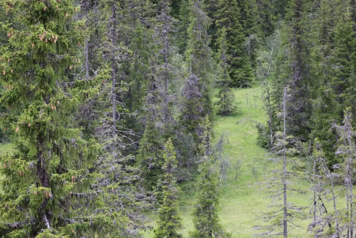
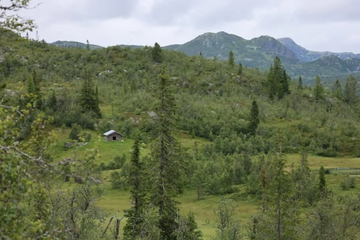
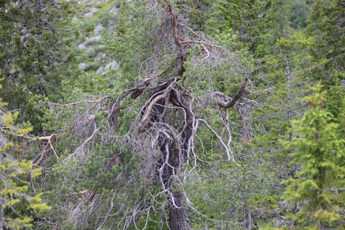
Drive up Heiåivegen to Kopperobakken, a good starting point for several great hikes. From here you start on foot along a tractor road, which you follow for a couple of kilometers into light forest and bog terrain.
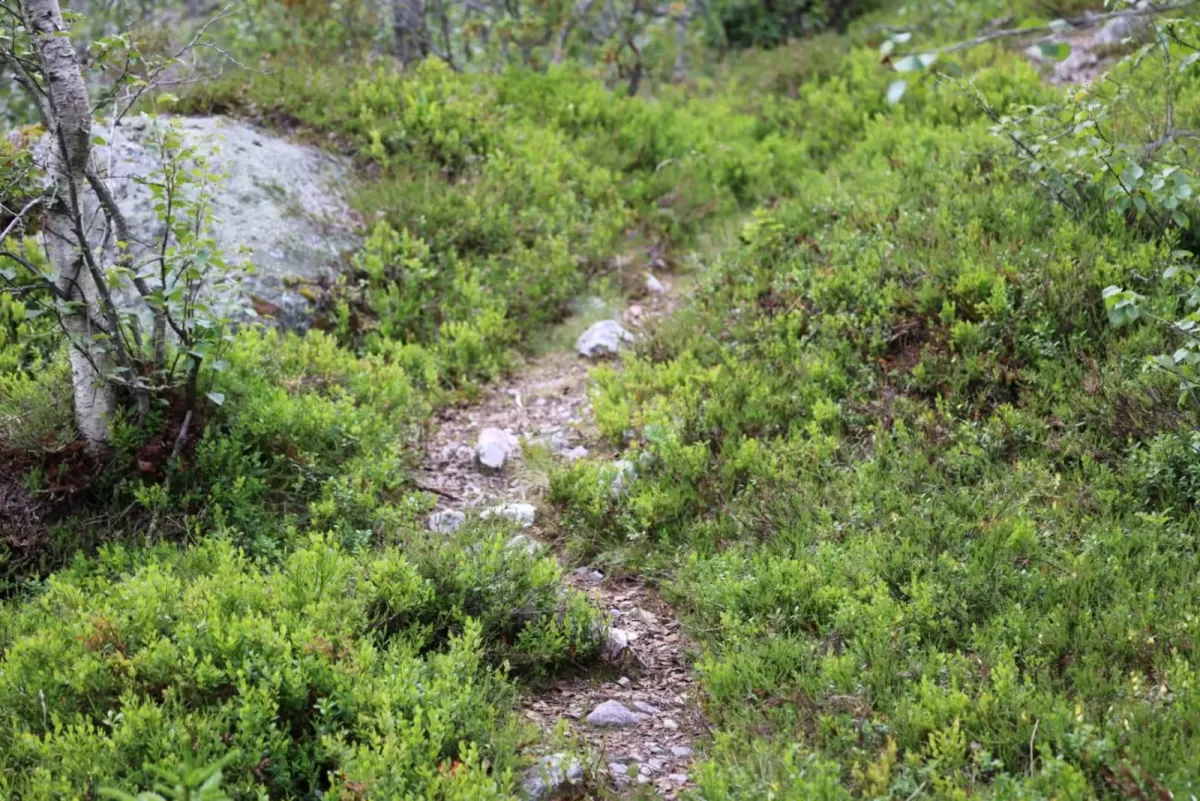
After a while you'll come across a clear path, and the terrain begins to rise steadily upwards. It's not particularly steep, but you'll experience some climbing, especially if you go via Geiterov or Finnebu - two alternative routes that both offer variation and great views along the way.
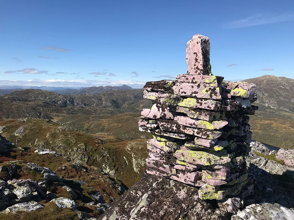
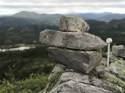
The final stretch up to the top of Gryvlun offers fun stretches over rocky outcrops and between several pointed grooves. The summit has a distinctive pinnacle shape, and there are several small points you can climb up to - perfect for those who like to stand entirely on their own two feet.
View from the top:
- To the west: Snøfonnskar and the mountains towards Vinje.
- To the north: Svafjellet and the majestic Brattefjell.
- To the east: Vålånuten and the heights above Hjartdal
- On clear days: You can glimpse Gaustatoppen in the distance
Facts about the trip:
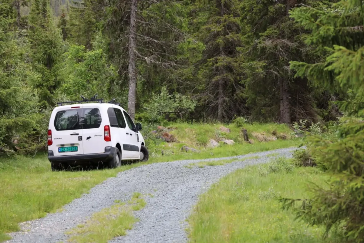
- Starting point: Kopperobakken before Sletteva, at the top of Heiåivegen.
- Length: Approx. 8-10 km round trip, depending on route choice
- Gradient: Moderate - even gradient all the way
- Highest point: Approximately 1210 m above sea level
- Level: Moderate - suitable for mountain hikers with normal fitness.
Hiking tips:
- Take the time to go out on several of the pointed grooves - they offer different views
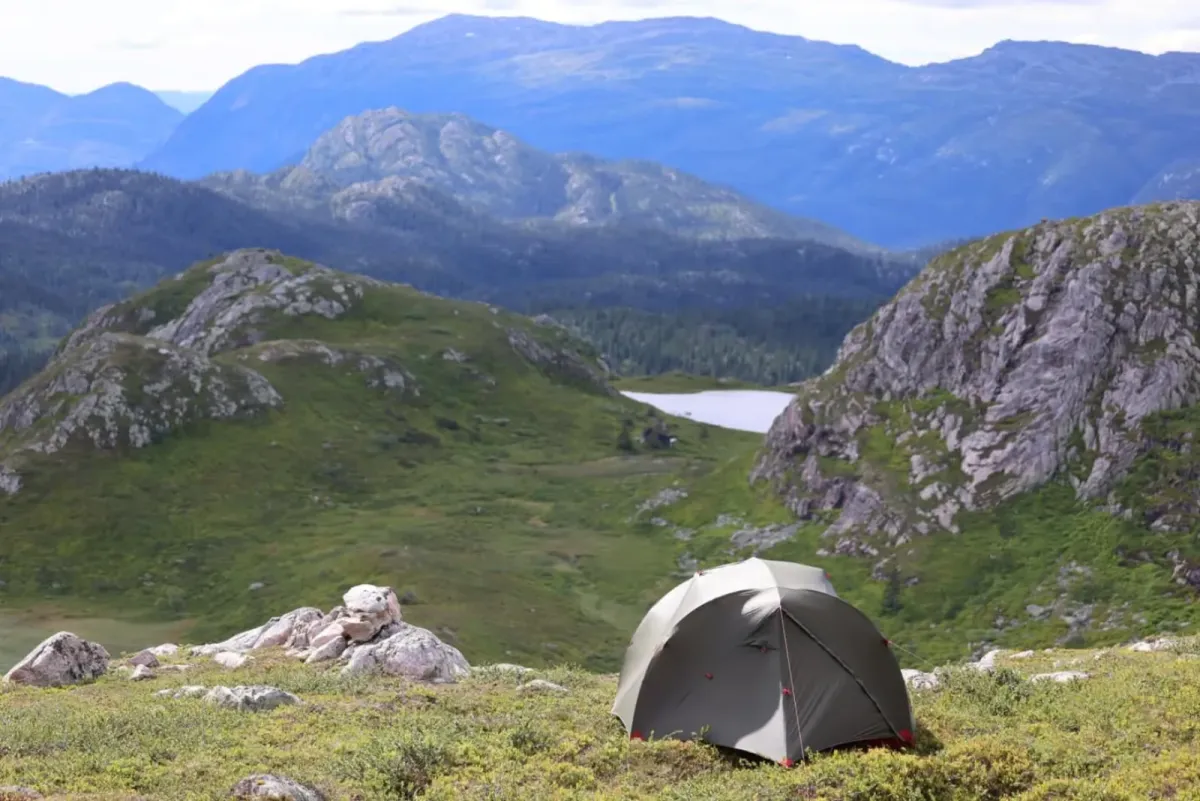
- Suitable for a long day trip - or as part of a mountain weekend
- Good shoes and map/GPS recommended
- Bring binoculars - there's plenty to see in all directions
Gryvlun is an impressive and distinctive mountain in Åmotsdal - known for its sharp pinnacles and pointed peaks, which make it extra fun to reach the top. From the summit, you get a magnificent view of the moors and pinnacles in all directions, and you really feel like you're standing in the middle of the mountain kingdom.
Hiking route:
Drive up Heiåivegen to Kopperobakken, a good starting point for several great hikes. From here you start on foot along a tractor road, which you follow for a couple of kilometers into light forest and bog terrain.
After a while you'll come across a clear path, and the terrain begins to rise steadily upwards. It's not particularly steep, but you'll experience some climbing, especially if you go via Geiterov or Finnebu - two alternative routes that both offer variation and great views along the way.
The final stretch up to the top of Gryvlun offers fun stretches over rocky outcrops and between several pointed grooves. The summit has a distinctive pinnacle shape, and there are several small points you can climb up to - perfect for those who like to stand entirely on their own two feet.
View from the top:
- To the west: Snøfonnskar and the mountains towards Vinje.
- To the north: Svafjellet and the majestic Brattefjell.
- To the east: Vålånuten and the heights above Hjartdal
- On clear days: You can glimpse Gaustatoppen in the distance
Facts about the trip:
- Starting point: Kopperobakken before Sletteva, at the top of Heiåivegen.
- Length: Approx. 8-10 km round trip, depending on route choice
- Gradient: Moderate - even gradient all the way
- Highest point: Approximately 1210 m above sea level
- Level: Moderate - suitable for mountain hikers with normal fitness.
Hiking tips:
- Take the time to go out on several of the pointed grooves - they offer different views
- Suitable for a long day trip - or as part of a mountain weekend
- Good shoes and map/GPS recommended
- Bring binoculars - there's plenty to see in all directions
Photos (17)
1 / 17

Videos (1)
Gryvlun (1197 moh) - toppen
Practical info
- Direction
- tur-retur
- Season
- Summer
- Trail quality
- 2/5
- Solitude
- 5/5
Got any good trail tips? 1
Åmotsdal
Telemark
fintur.no
Telemark
fintur.no


Test. Flott tur