Hægefjell
 T
T
Weather forecast
Hentar vêrdata…
Kjelde: Yr.no (Meteorologisk institutt)
Map and route
S Start
M Finish
▲ Highest point
▼ Lowest point
km Main route
↕ m Elevation
About this hike
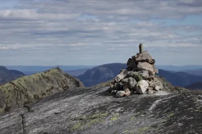
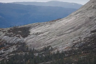
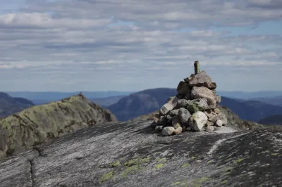
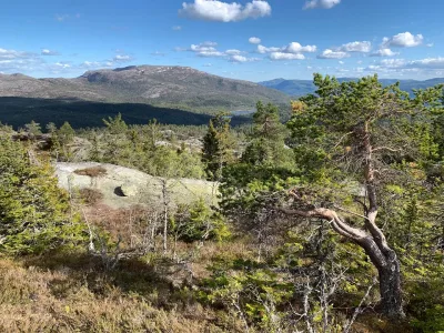
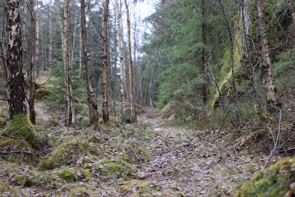
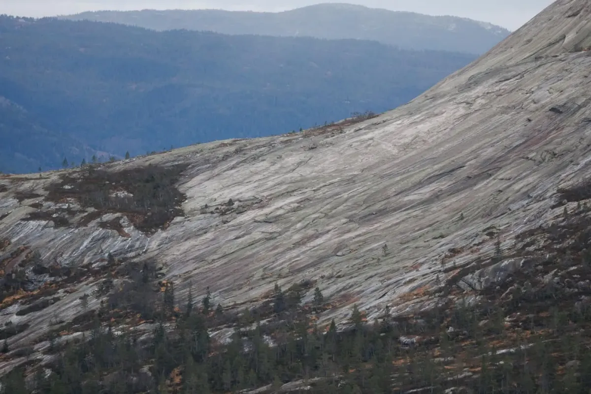
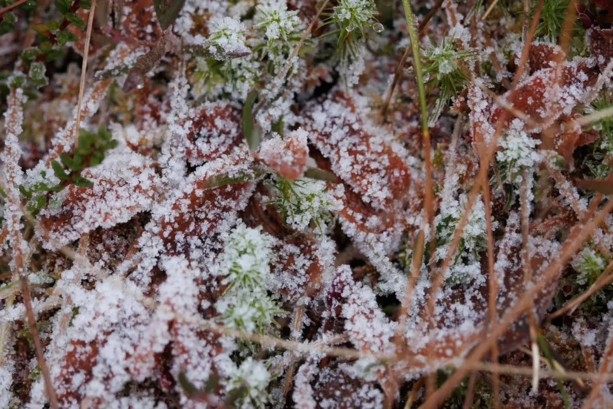
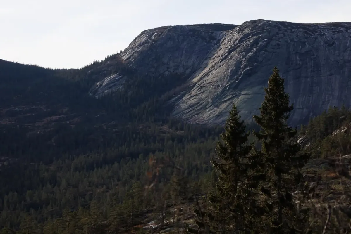
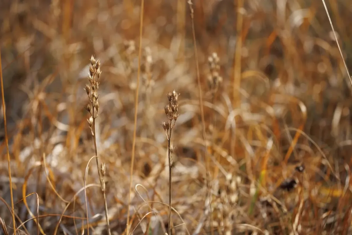
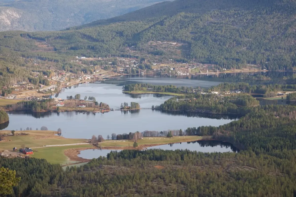
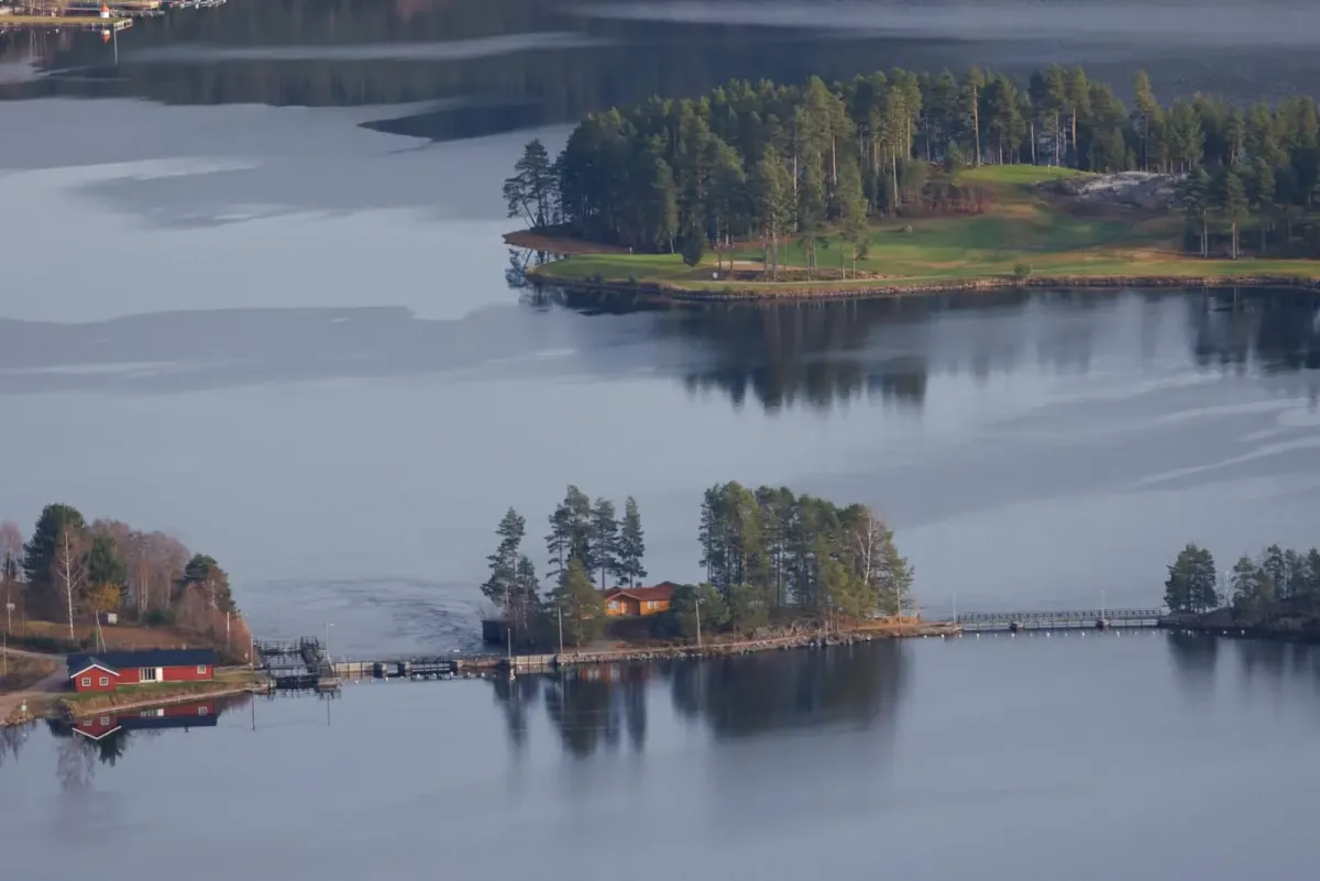
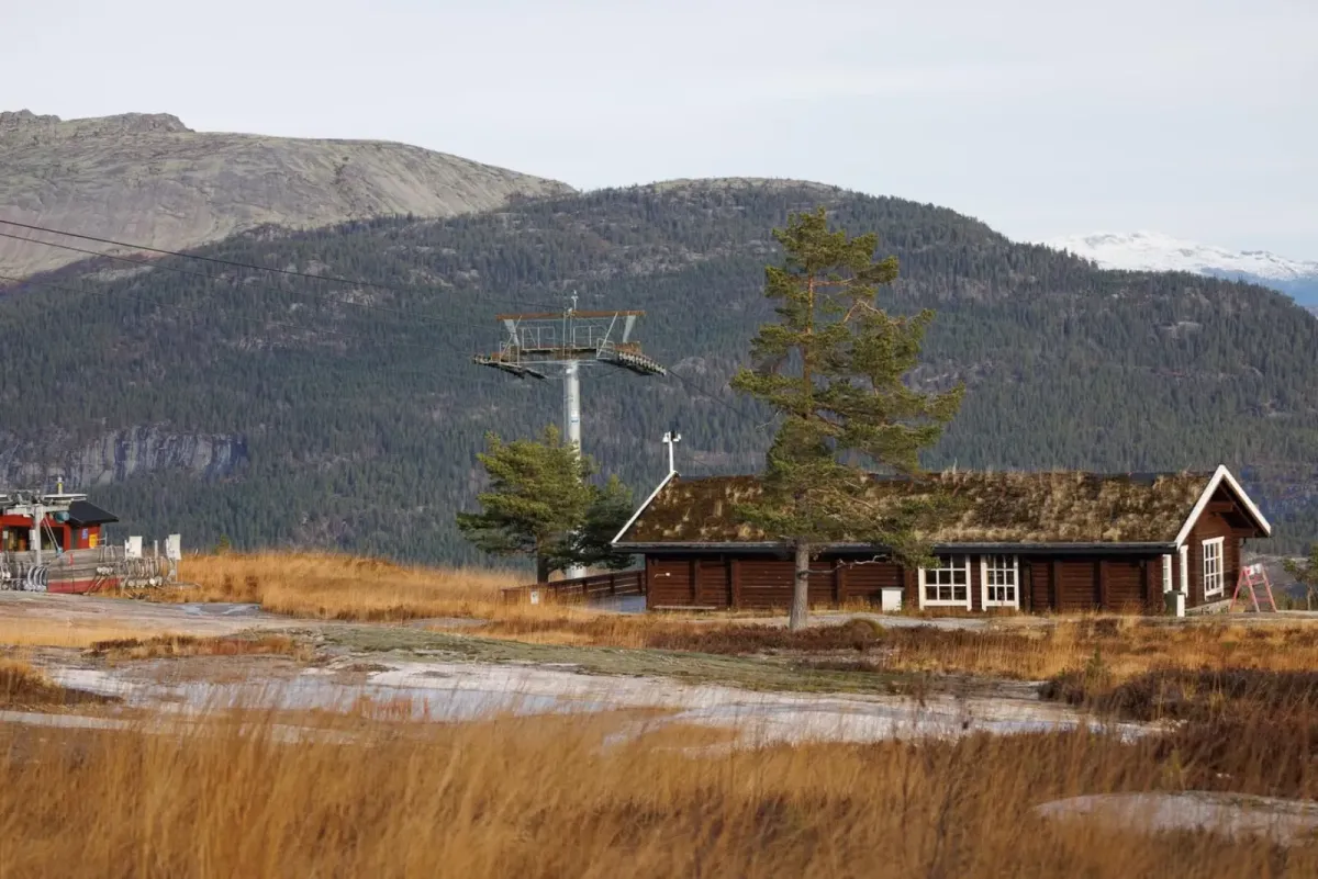
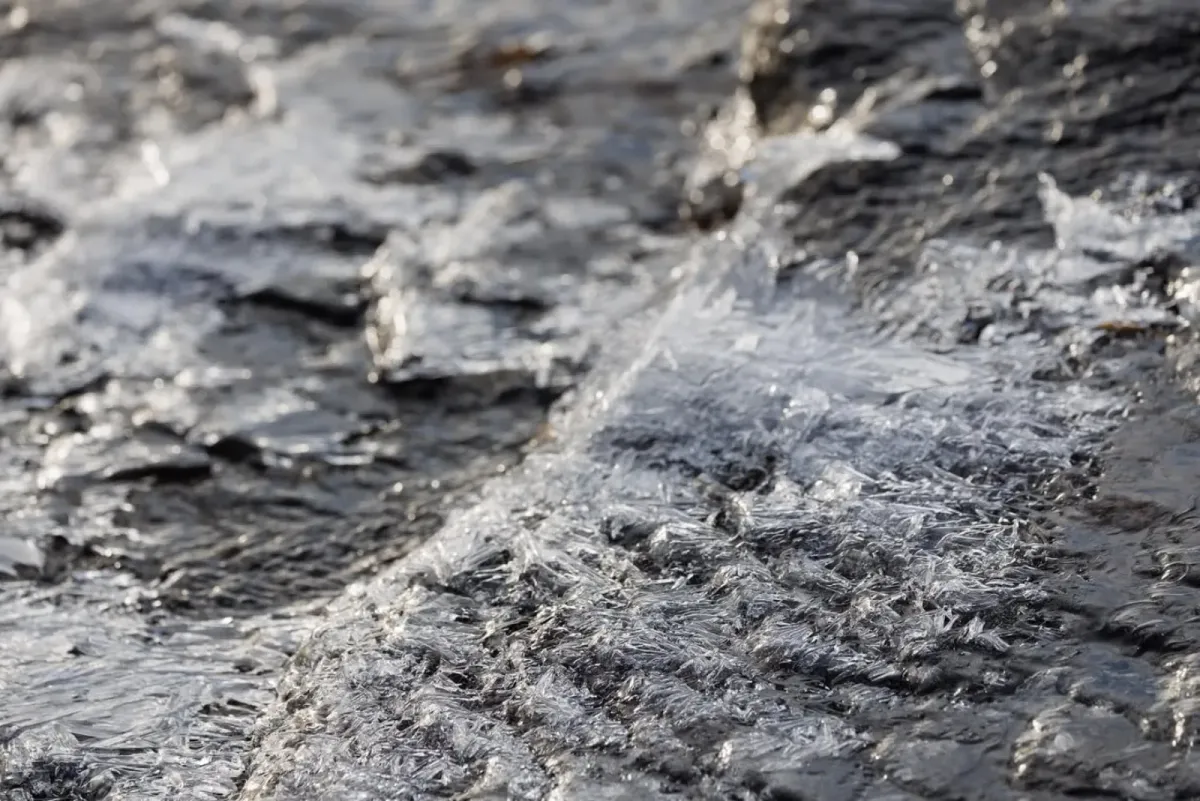
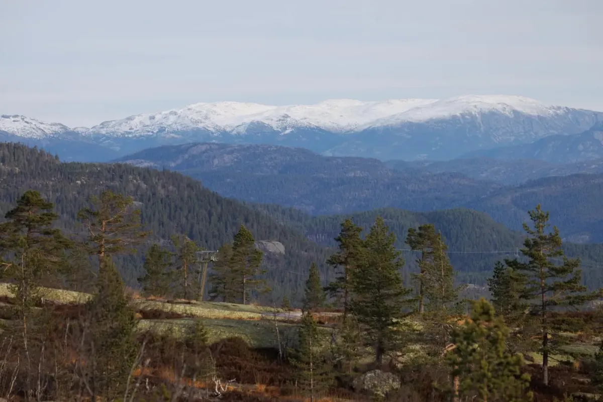
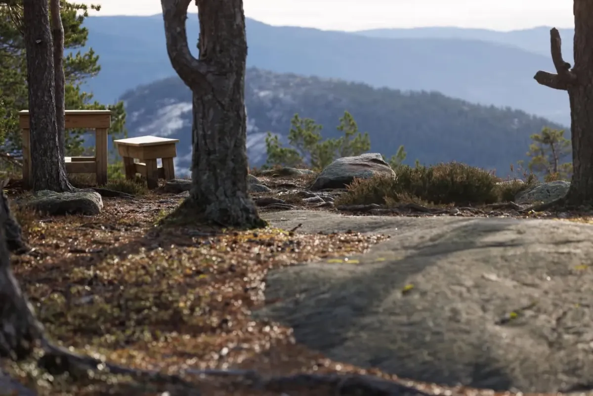
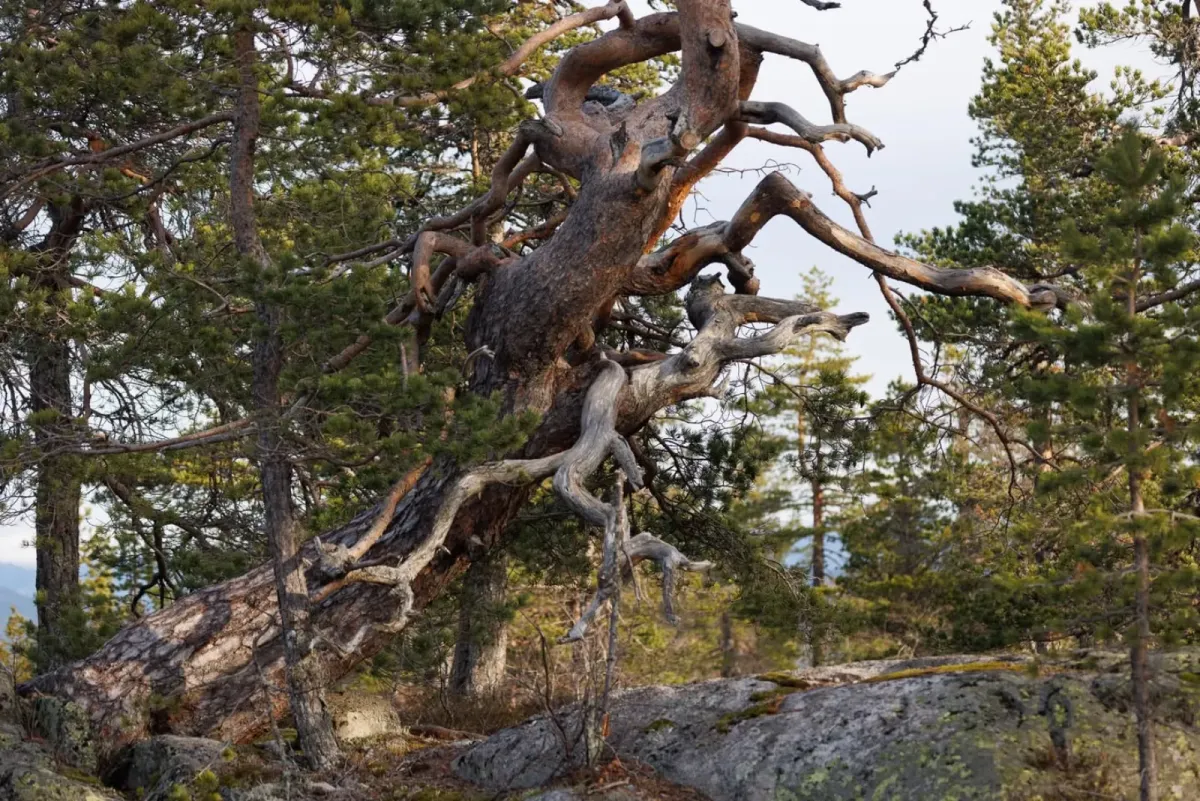
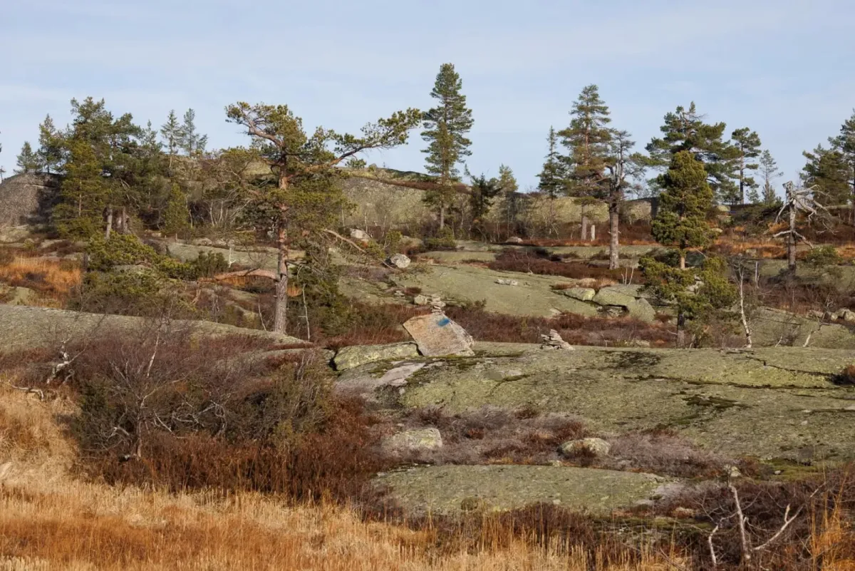
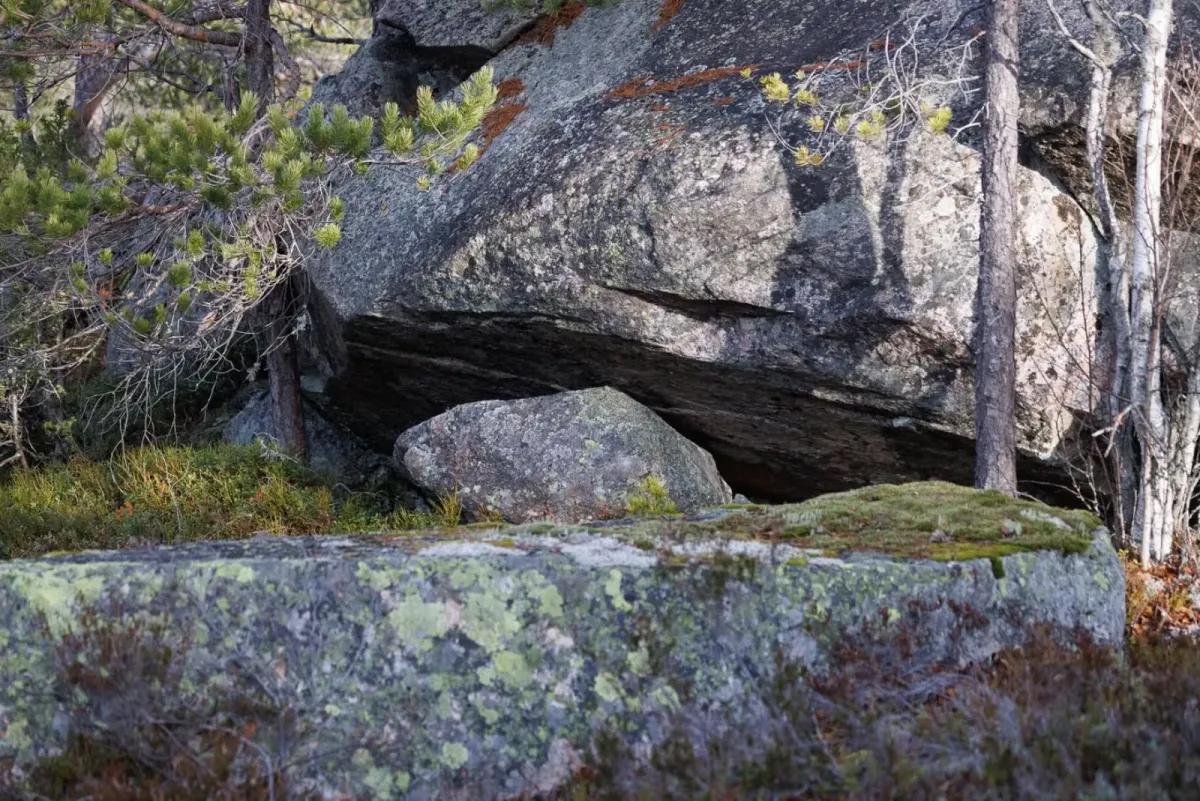
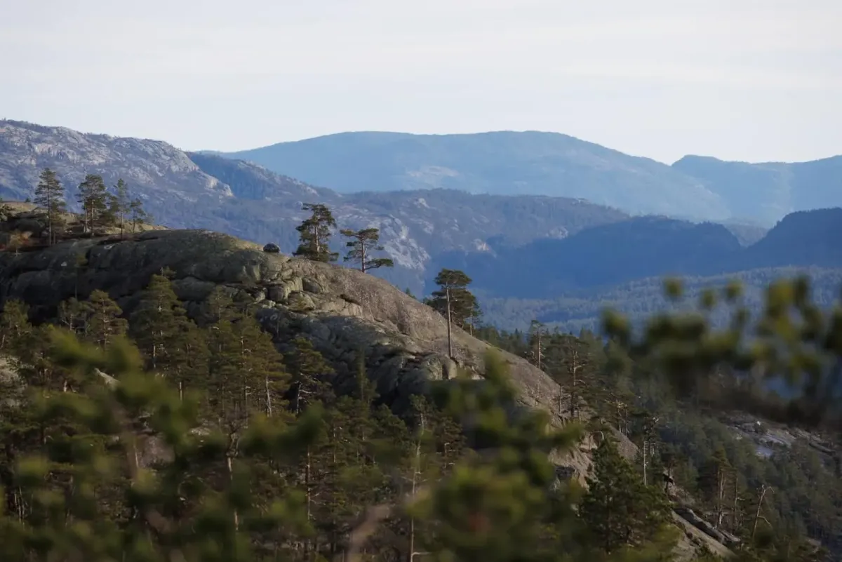
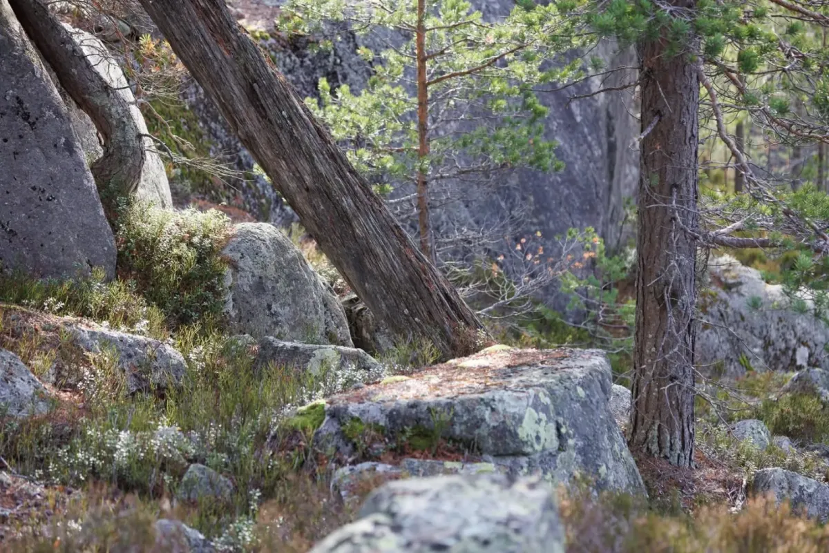
Pull me backwards into Hægefjell (1024 m). What a nature they raise in Vrådal, ouch. Hægefjell is something I've been thinking about for years. Today I took a trip there. There's a large parking lot by the second highest lift. From there it goes up the rocks. I turned the trip into a round trip and went down from Tverrfjellet to the marshes around Hægefjellbekken. Then straight up where there is vegetation. There's a lot of ice, so it's good to stay in heather and moss. This is a wilderness trip of great caliber. Lots of big birds down there. At the top, you'd think you'd see the distinctive features of Hægefjell. But you don't. You need to bring a drone to see the wall. The trip home is more or less on the "highway". This is a popular destination for tourists and cabin dwellers down by the ski resort. The trip was 15.28 km with a gradient of 824 meters. The trip took about 4 hours. It's probably easier if you park at the top of the resort and take the "highway" back and forth (12.6 km).
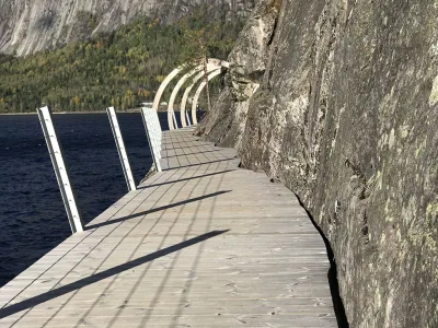
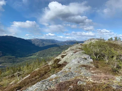
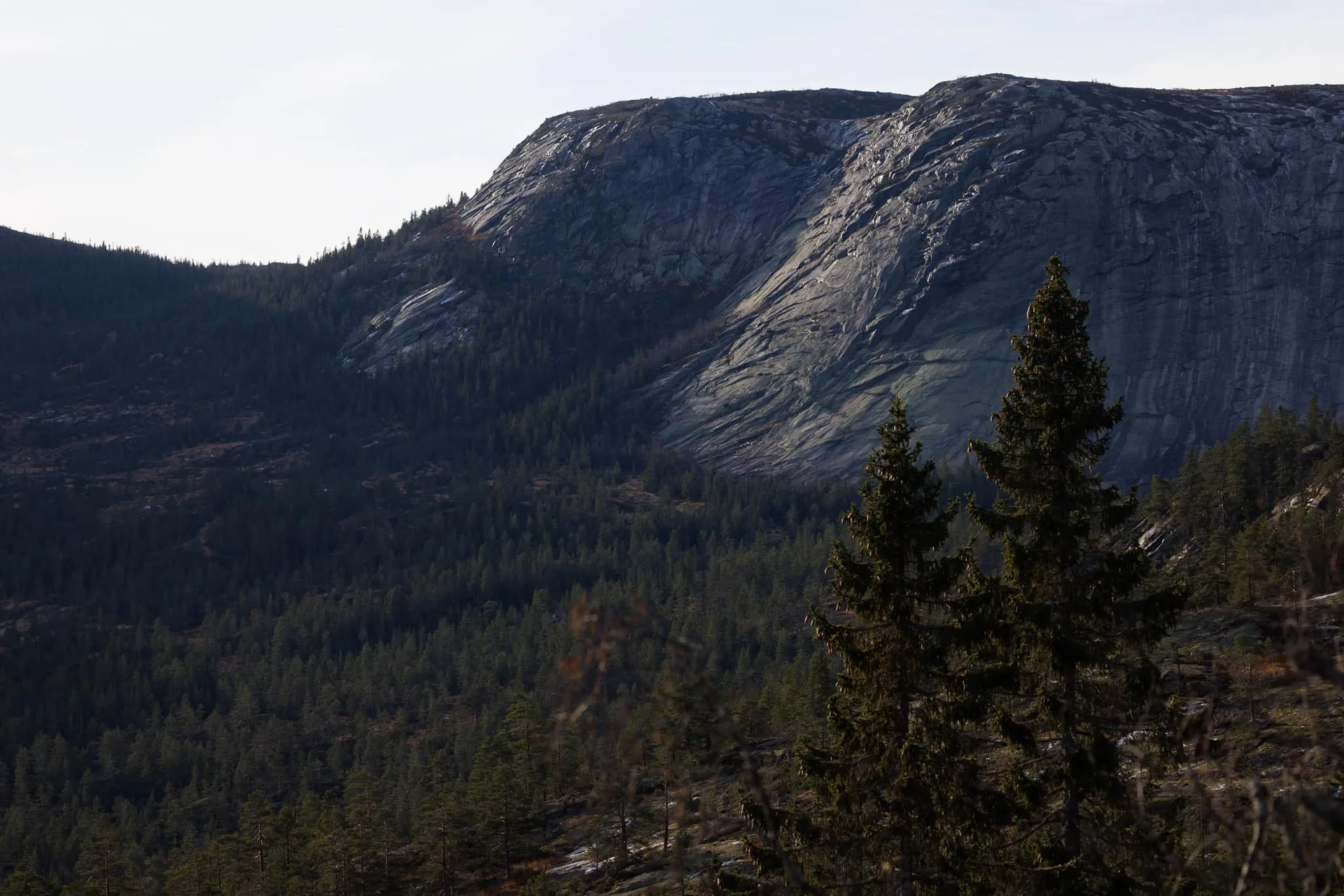
Photos (17)
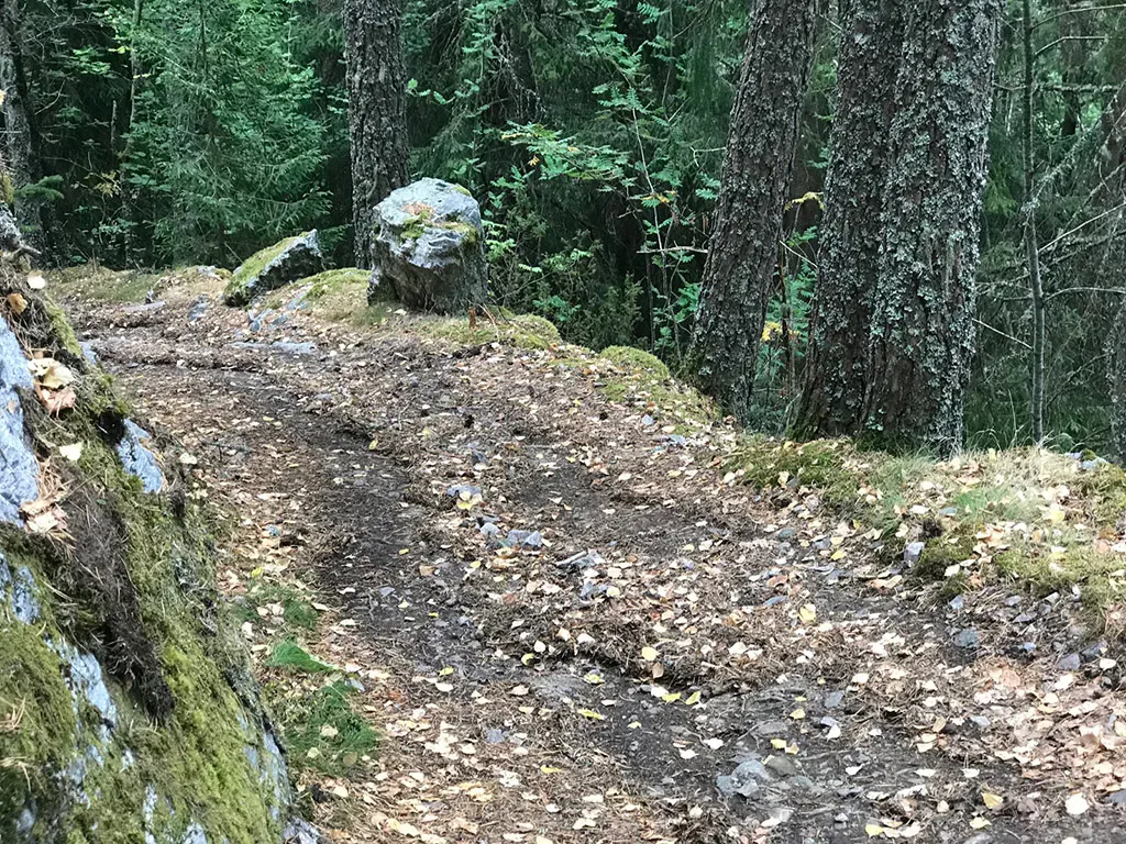
1 / 17
Practical info
- Direction
- tur-retur
- Season
- Summer
- Trail quality
- 4/5
- Solitude
- 6/5
Got any good trail tips?
Vrådal
Telemark
fintur.no
Telemark
fintur.no