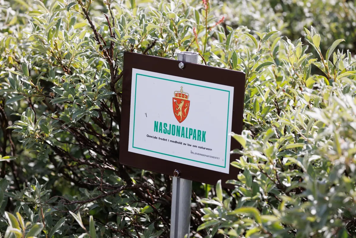
Hardangervidda
 T
T
Weather forecast
Hentar vêrdata…
Kjelde: Yr.no (Meteorologisk institutt)
Map and route
S Start
M Finish
▲ Highest point
▼ Lowest point
km Main route
↕ m Elevation
About this hike
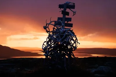
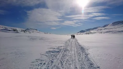
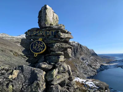
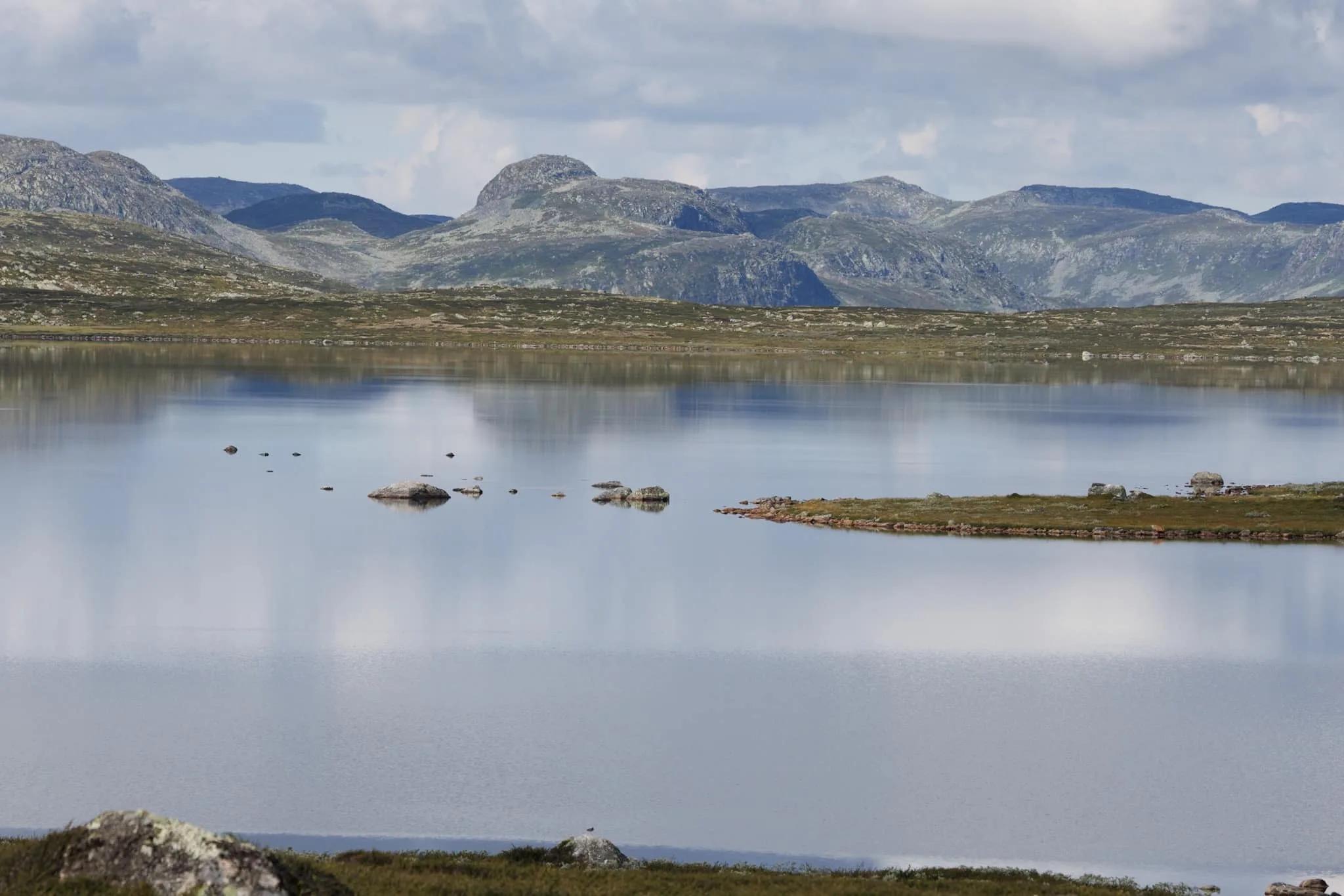
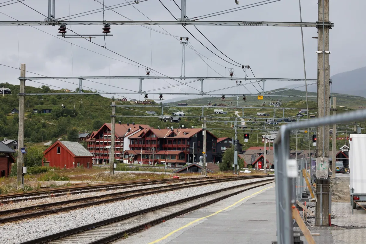
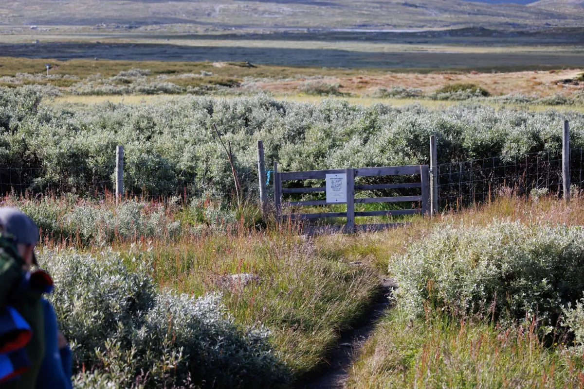
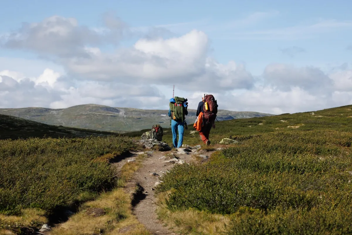
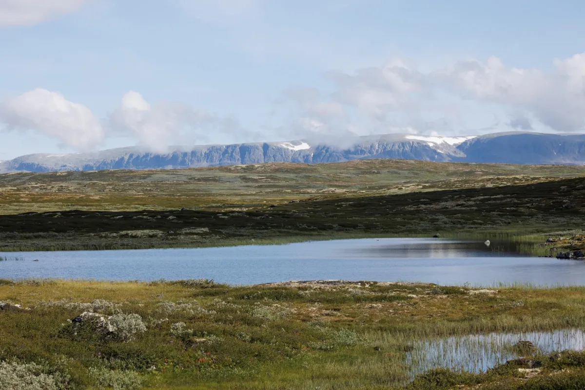
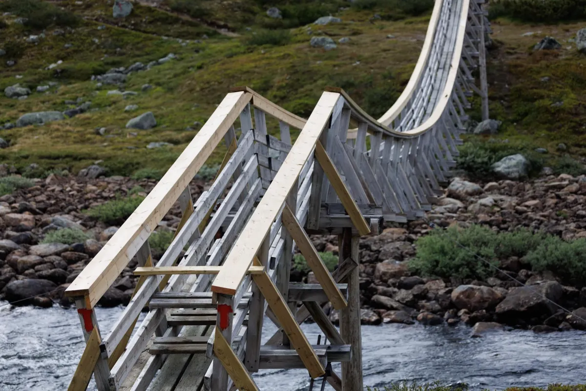
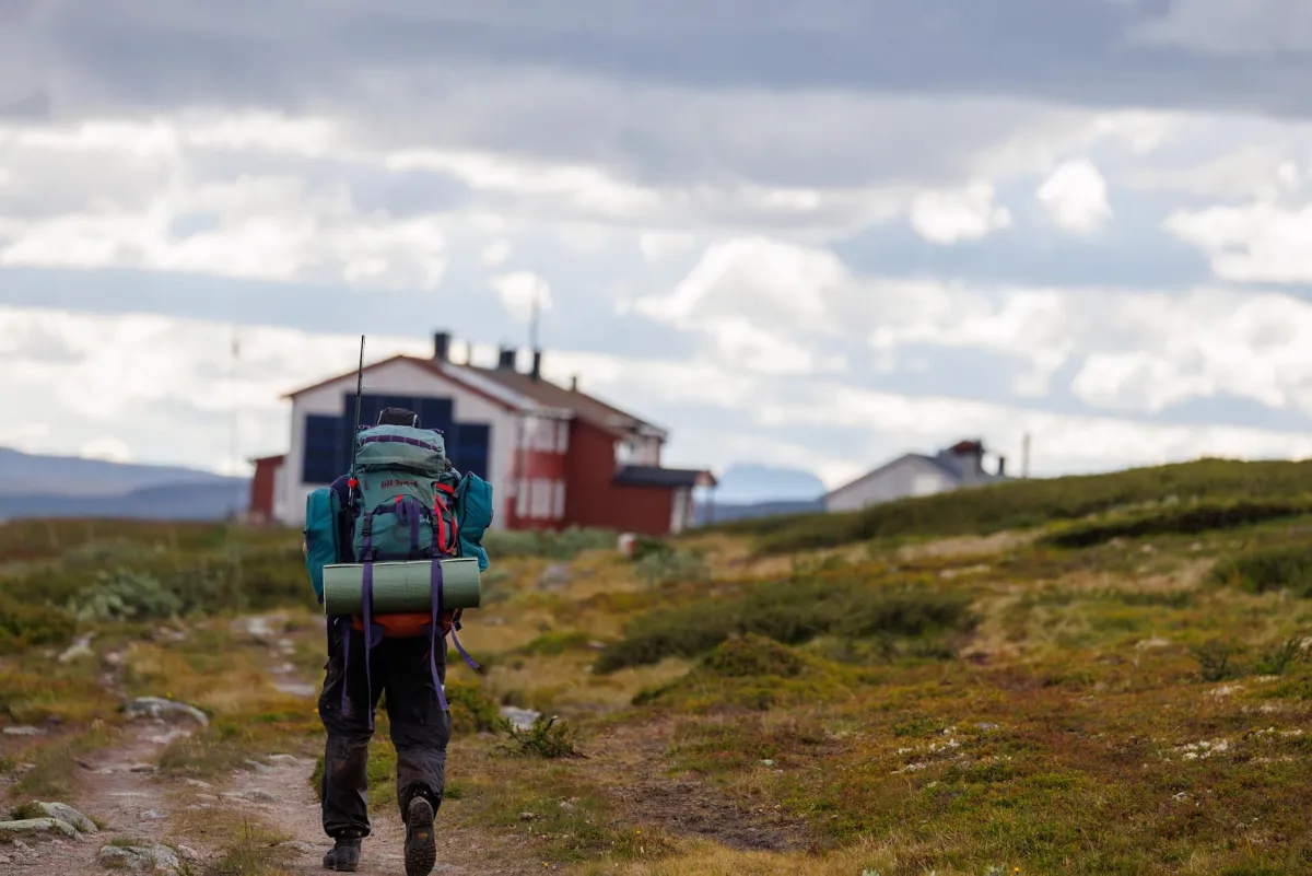
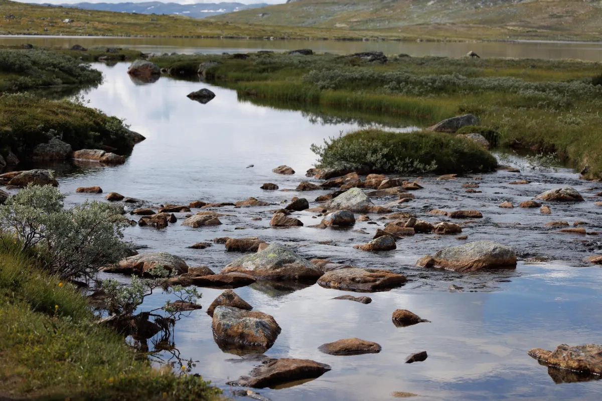
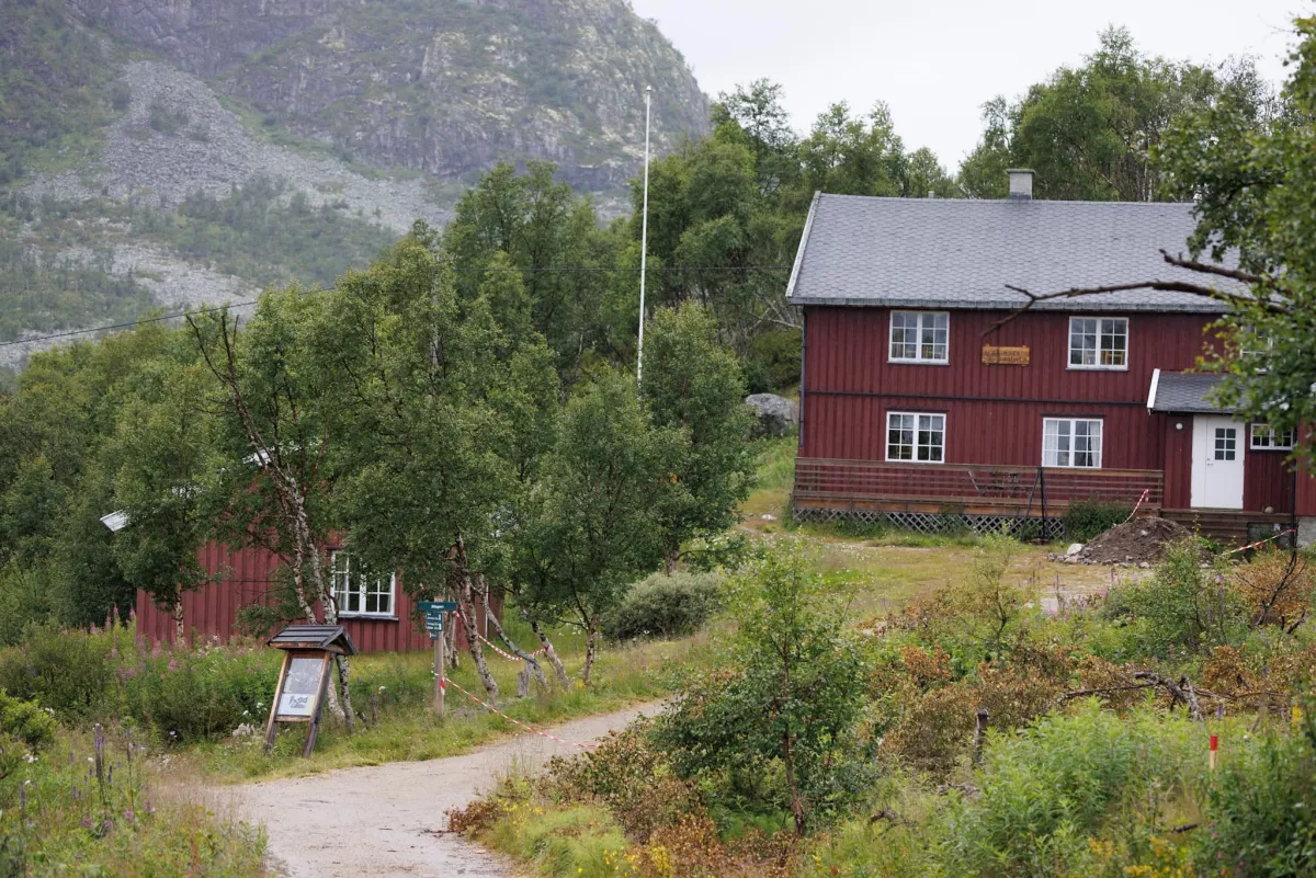
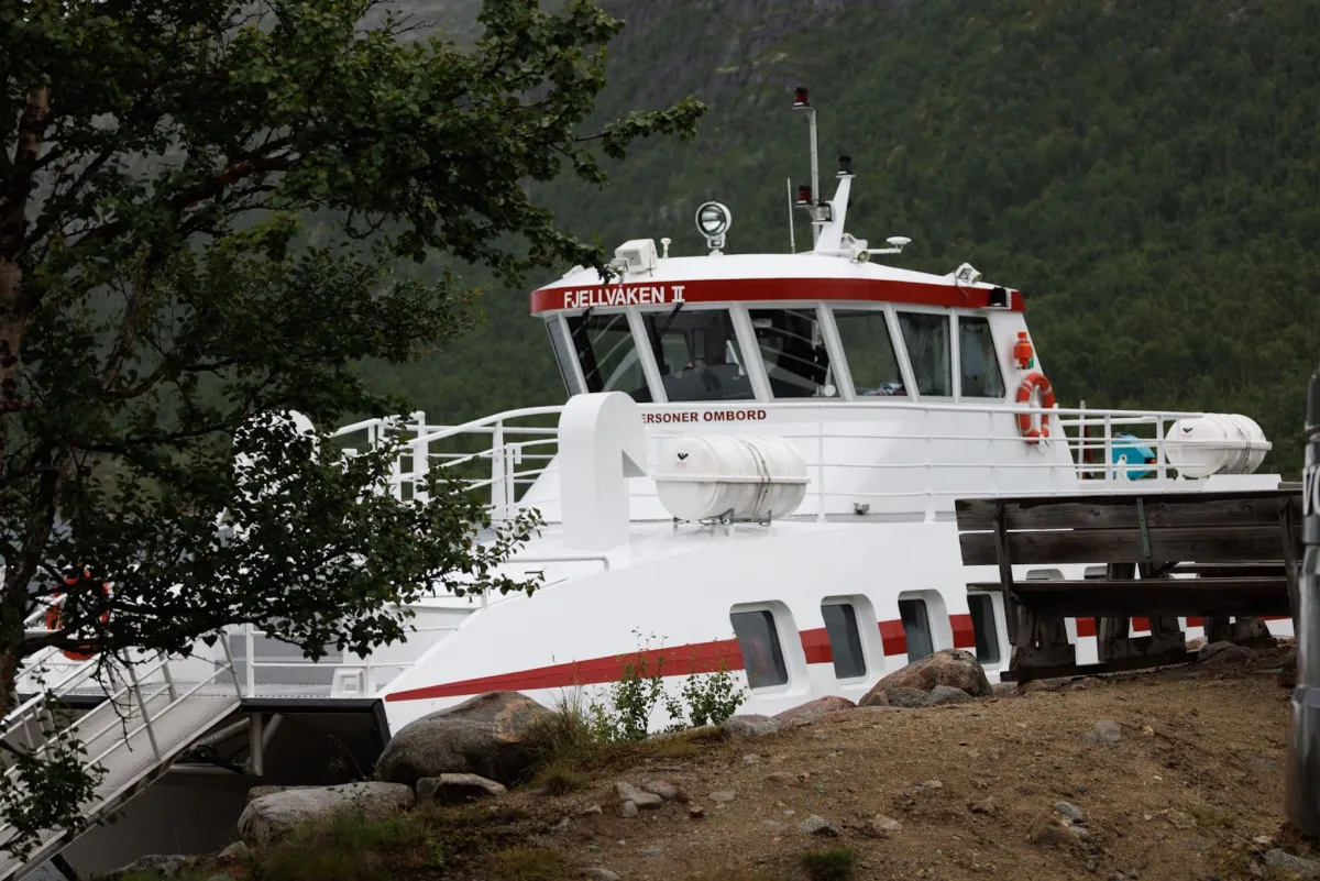
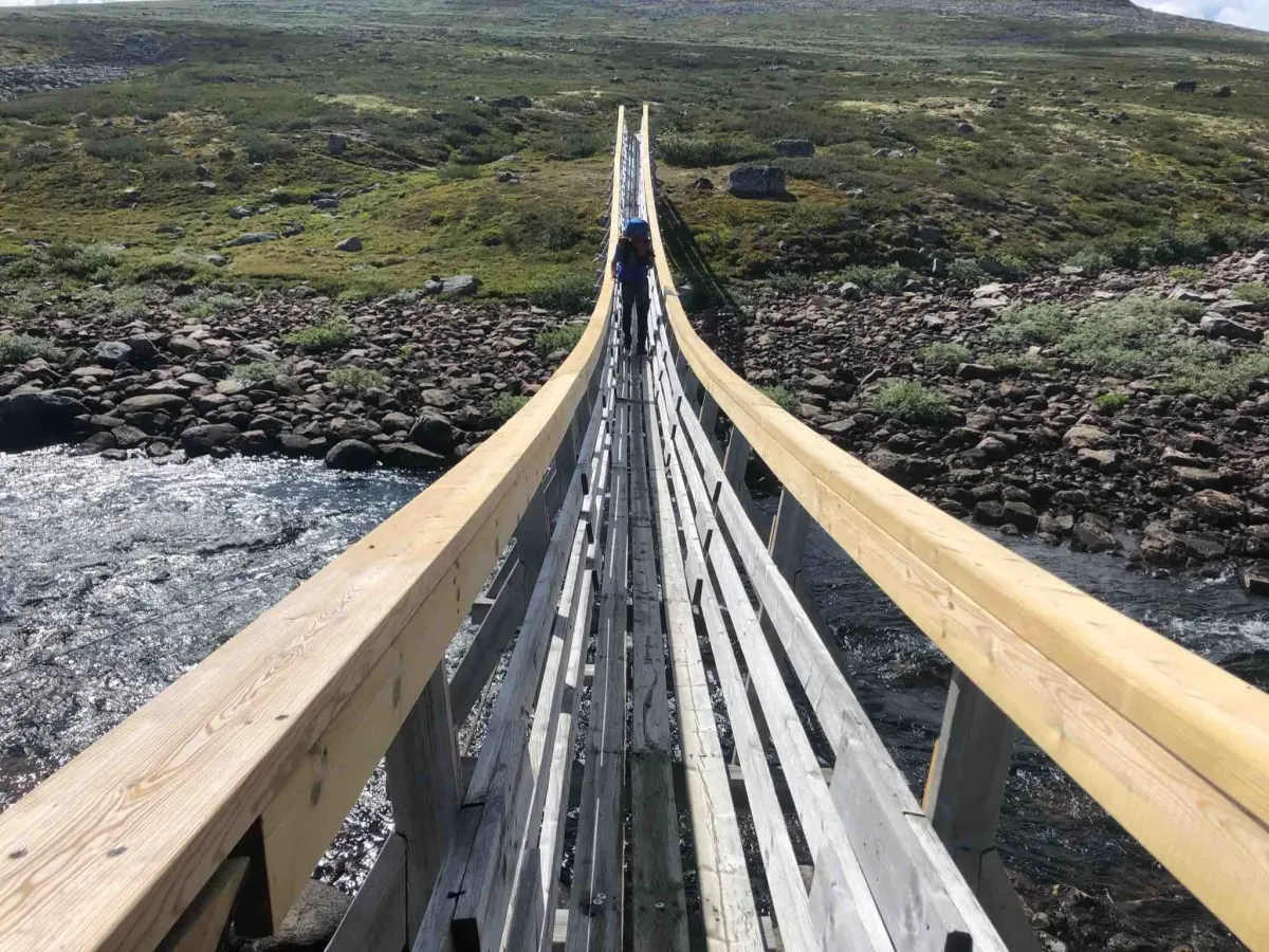
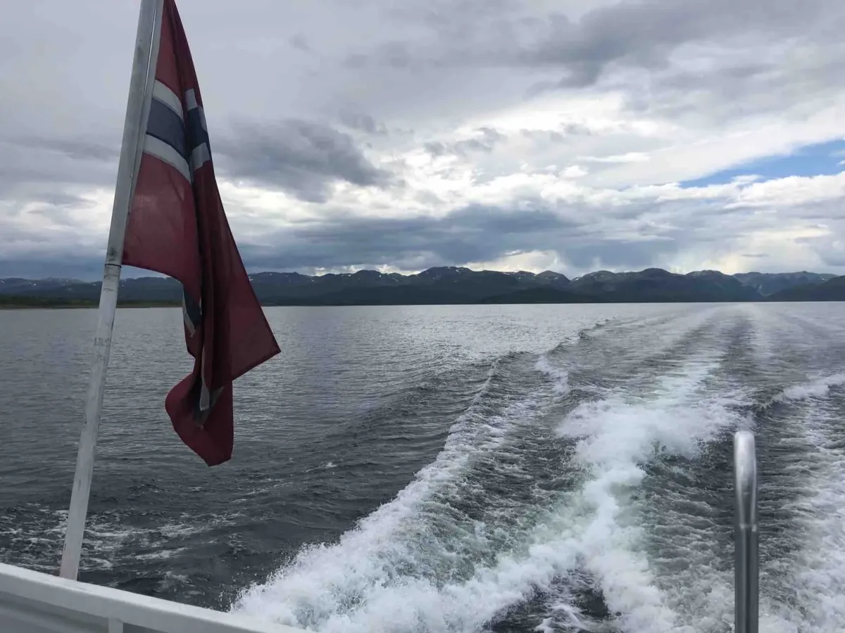
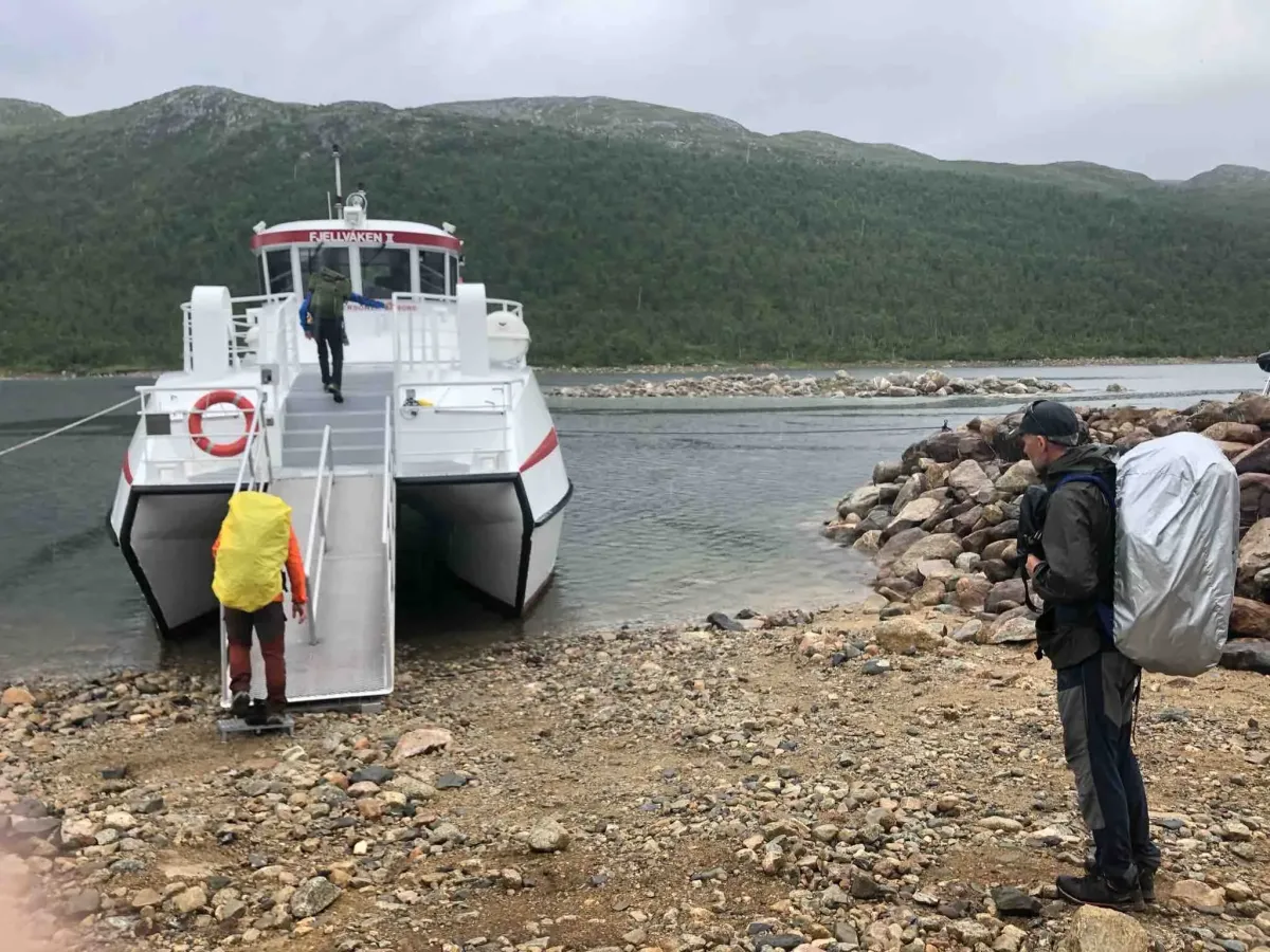
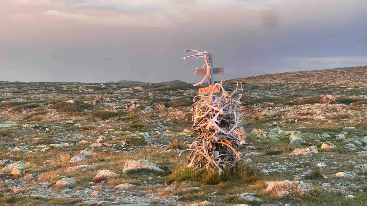
Norway is a beautiful country! Hardangervidda shows this clearly and unmistakably. The magnificence of nature. The view across the plateau and its sea of long valleys, hills and lakes. The four-day hike across Hardangsrvidda from Ustaoset to Mogen has been completed. Train to Ustaoset station followed by a 9.5 km walk to Tuva tourist hut. A private tourist hut, where we stayed the last night. Pork knuckle and risotto for dinner. Rhubarb soup with cream and fresh strawberries. World-class waffles. Fantastic hosts. We left at 9am after breakfast the next day. A long stage of 27 km to Rauhelleren. Via Heinseter. It's very long, with a heavy backpack. Slack uphill all the way. It's nice to walk deep in the countryside. Few people to see, compared to the well-known area. Exhausted and happy to arrive at Raudhelleren at 6 p.m. There we were also treated to excellent food. Three-course dinner and good drinks in beer/wine/soda. This is a DNT cabin and it is large. We were in a dormitory. Quite a full cabin, with 2 table settings for dinner. The gang fell asleep quite battered. The night's recovery got us up for breakfast at 07.30. Then we were off on stage 3 from Rauhelleren to Lågaros at 08.00. There are 22 new km there. A long trip, that too. Our experiences from the day before made us adjust our pace a little. Fortunately, not the same long climbs. More hilly. Beautiful mountain lakes and decent trails. A few rocks to negotiate. We arrived in Lågaros at 18 in the evening. By then I had gone around and missed all the rain. Hardly a drop on us until now. Lågaros is a self-service cabin with its own cabin host. A nice old guy who made us feel welcome. He gave us a room and we cooked our own food. Heil max, that too. I even found our names in the hiking books from 1986, when I was on a school trip with outdoorsman, inspirer and teacher Stein Baardseth (who died on July 29), that winter. Sunset over Hardangervidda, with the mountains and jøkulen behind and Bjornesfjorden, is a great sight. We went to bed early this evening too, after a few rounds of cards. The next morning and the last day of the trip started at 7am with a homemade breakfast in a bag (oatmeal). It's 15 km down to Mogen and Fjellvåken down there at the mouth of Juvikfjorden on Møsvatn. I had to reach it before 15:30. Made it with a 45 min. margin. Got a little rain shower over us the last hour down towards Møsvatn. No danger. The mountain watch was in Skinnarbu at 17.00. A little ahead of schedule. Mogen is being renovated and will be completed in 2024. So, there it was closed. A fantastic long and nice trip. Good friends. Worn out foot blades, but still in a good mood. And perhaps even better; greater eagerness to do such trips again! Thank you so much for the trip and local Norway vacation is the best vacation one can wish for! Total length 75 km
Photos (12)

1 / 12

User photos (4)
1 / 4
Practical info
- Direction
- enveis
- Season
- Summer
- Trail quality
- 4/5
- Solitude
- 7/5
Got any good trail tips?
Vinje
Telemark
fintur.no
Telemark
fintur.no