Hestenutan
Weather forecast
Hentar vêrdata…
Kjelde: Yr.no (Meteorologisk institutt)
Map and route
S Start
M Finish
▲ Highest point
▼ Lowest point
km Main route
↕ m Elevation
About this hike
Hestenutan - an alpine adventure at Nord-Skorve
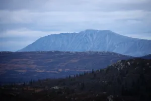
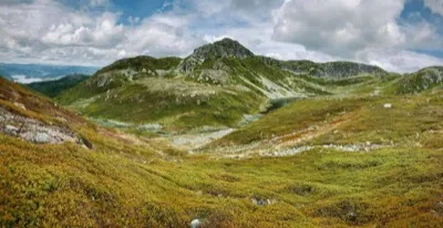
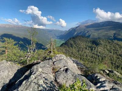
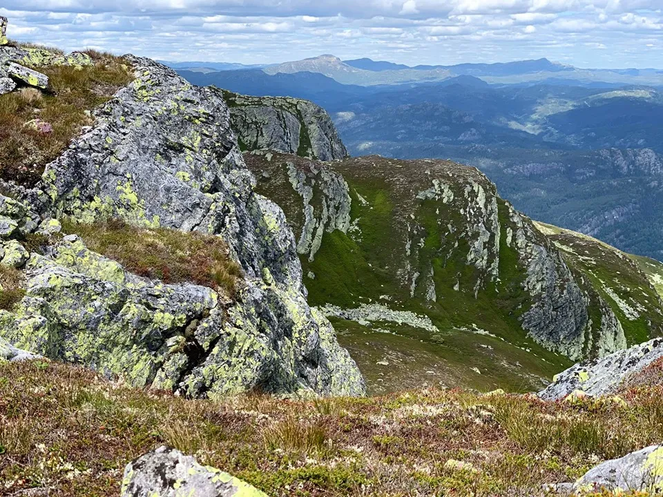
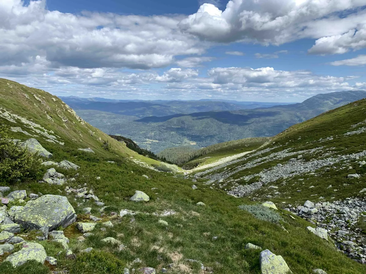
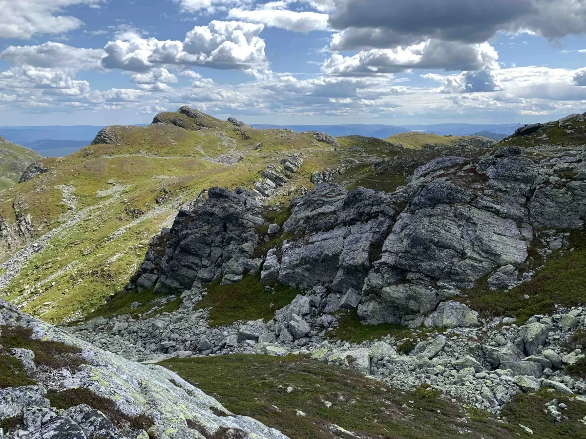
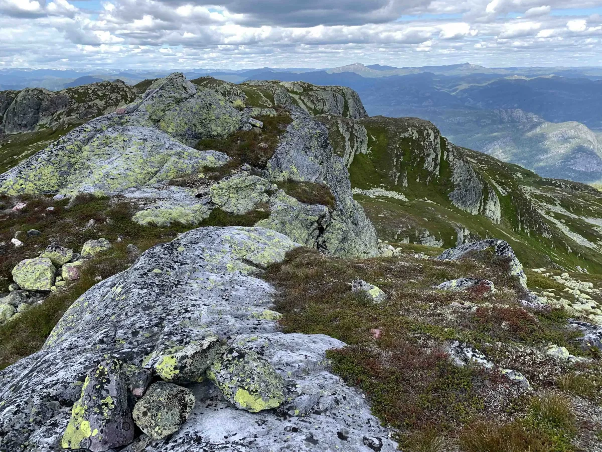
Hestenutan is one of the most spectacular mountain ranges in Seljord, and is easily recognizable from the village with its sharp spikes and steep sides - like a small version of the Alps in Telemark. This is a hike for those looking for a physical challenge, dramatic scenery and expansive views of the Skorve plateau and the mountains to the south and east.
Main route from Gjuvland (northwest side):
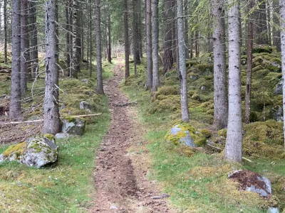
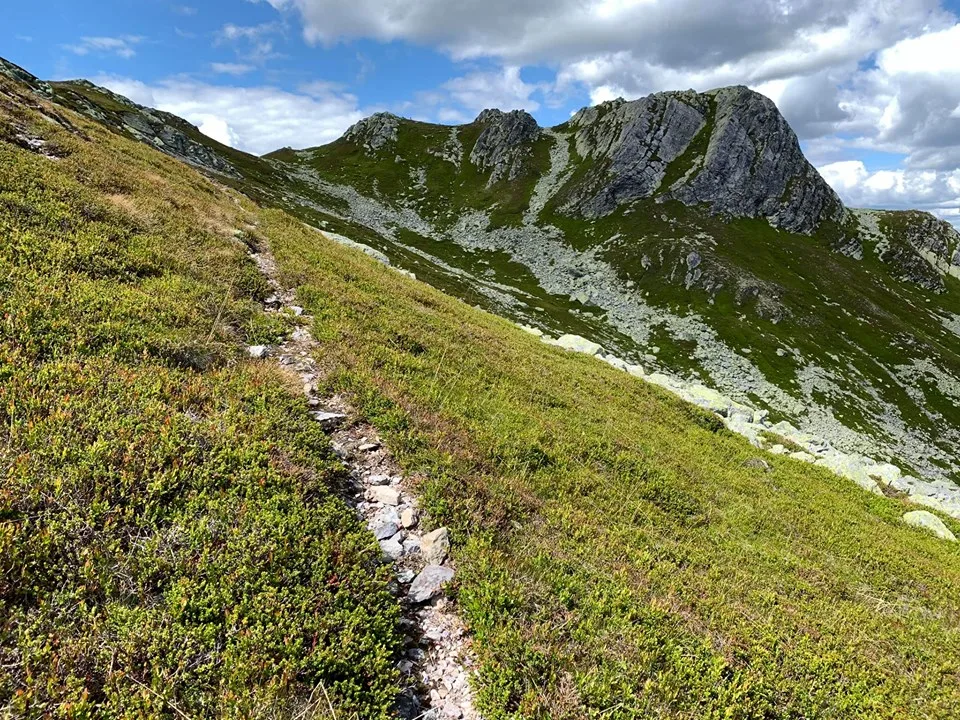
From Gjuvland you go straight up towards Nutane. This is a steep and strenuous hike, with an average ascent of 170 vertical meters per kilometer. Here you get to use both your fitness and your legs from the first step. After a while, you'll reach the tree line, where the terrain opens up and the wind often picks up - something that can be a welcome relief on hot days.
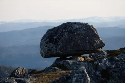
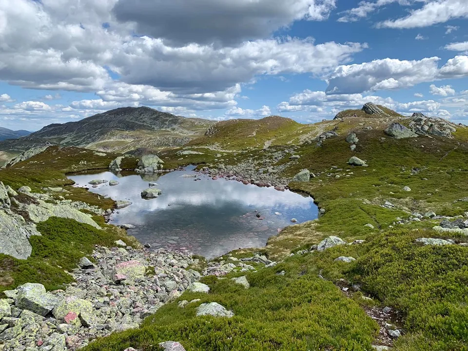
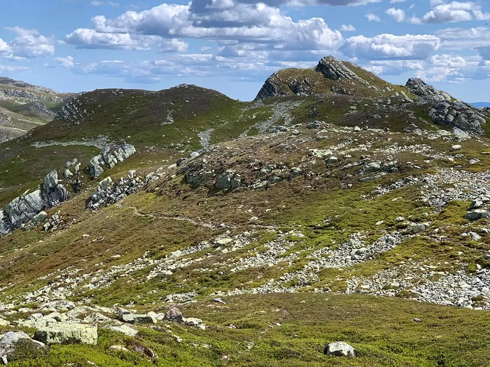
As you approach Hestenutane, a dramatic landscape opens up - steep mountain ridges, sharp ridges and a number of small grooves sticking up in silhouette. Here you really get the mountain feeling, and many people use Hestenutane as an intermediate destination on their way to the Skorve Plateau.
Alternative routes:
- From Kivledalen via Finndalen - a classic route that provides good access to both Hestenutane and Skorve
- From Stav in Langlim - good access from the east side, with varied and open landscapes
- From Kvåle in Flatdal - an exciting route from the south side, which provides a good overview of Flatdal and the mountains towards Fyresdal
View from Nutane:
- To the north: Lifjell and Gaustatoppen
- To the west: Åmotsdalsheiane and Brattefjell
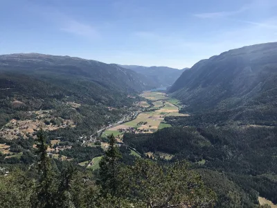
- To the south: Skorveplatået and towards Rauland.
- To the east: Seljord, Seljordsvatnet and further towards Midt-Telemark.
Facts about the trip from Gjuvland:
- Length: Approx. 5-6 km round trip (depending on utility)
- Ascent: Over 850 vertical meters
- Level: Demanding - for experienced hikers in good shape
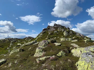
- Highest point: Around 1190 m above sea level
- Surface: Paths, primitive and mountain terrain.
Hiking tips:
- Wear good hiking boots - steep and rocky terrain
- Dress for the change of weather - open heights and strong winds
- A map and compass (or GPS) are recommended - the area is open and unmarked
- Great to combine with a longer round trip over the Skorve plateau
Hestenutan is one of the most spectacular mountain ranges in Seljord, and is easily recognizable from the village with its sharp spikes and steep sides - like a small version of the Alps in Telemark. This is a hike for those looking for a physical challenge, dramatic scenery and expansive views of the Skorve plateau and the mountains to the south and east.
Main route from Gjuvland (northwest side):
From Gjuvland you go straight up towards Nutane. This is a steep and strenuous hike, with an average ascent of 170 vertical meters per kilometer. Here you get to use both your fitness and your legs from the first step. After a while, you'll reach the tree line, where the terrain opens up and the wind often picks up - something that can be a welcome relief on hot days.
As you approach Hestenutane, a dramatic landscape opens up - steep mountain ridges, sharp ridges and a number of small grooves sticking up in silhouette. Here you really get the mountain feeling, and many people use Hestenutane as an intermediate destination on their way to the Skorve Plateau.
Alternative routes:
- From Kivledalen via Finndalen - a classic route that provides good access to both Hestenutane and Skorve
- From Stav in Langlim - good access from the east side, with varied and open landscapes
- From Kvåle in Flatdal - an exciting route from the south side, which provides a good overview of Flatdal and the mountains towards Fyresdal
View from Nutane:
- To the north: Lifjell and Gaustatoppen
- To the west: Åmotsdalsheiane and Brattefjell
- To the south: Skorveplatået and towards Rauland.
- To the east: Seljord, Seljordsvatnet and further towards Midt-Telemark.
Facts about the trip from Gjuvland:
- Length: Approx. 5-6 km round trip (depending on utility)
- Ascent: Over 850 vertical meters
- Level: Demanding - for experienced hikers in good shape
- Highest point: Around 1190 m above sea level
- Surface: Paths, primitive and mountain terrain.
Hiking tips:
- Wear good hiking boots - steep and rocky terrain
- Dress for the change of weather - open heights and strong winds
- A map and compass (or GPS) are recommended - the area is open and unmarked
- Great to combine with a longer round trip over the Skorve plateau
Photos (4)

1 / 4
Videos (1)
Hestenutan og Jaspisfjellet
User photos (6)

1 / 6
Practical info
- Direction
- tur-retur
- Season
- Summer
- Trail quality
- 3/5
- Solitude
- 6/5
Got any good trail tips?
Flatdal
Telemark
fintur.no
Telemark
fintur.no