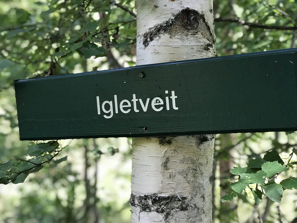
Igletveit
Weather forecast
Hentar vêrdata…
Kjelde: Yr.no (Meteorologisk institutt)
Map and route
S Start
M Finish
▲ Highest point
▼ Lowest point
km Main route
↕ m Elevation
About this hike
Igletveit and Igletveittjønni - a short and cozy hike with a nice picnic area
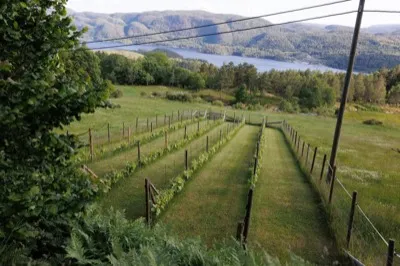
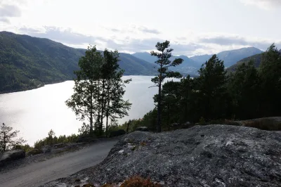
Igletveit is one of the short, pleasant hikes on the Manheim side of Seljordsvatnet - a hike that suits most people and provides a good nature experience in a short time. The hike goes up to the sheltered and beautiful Igletveittjønni, a perfect destination for an afternoon walk with a packed lunch.
Hiking route:
The hike starts from the parking lot before Sanden Camping at Manheim, where you follow the forest road and path up the hillside towards Igletveit. It's a little steep at first, but the terrain flattens out after a while. The path is clear and runs through lush forest, with glimpses of the lake along the way.
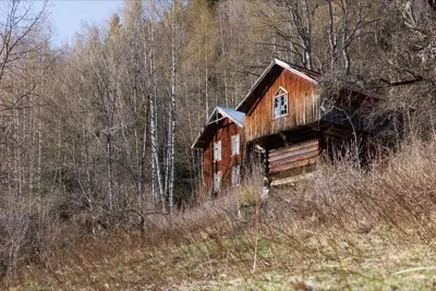
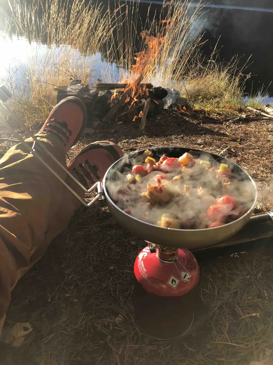
After a short while you reach Igletveittjønni - a small mountain lake surrounded by forest and heather. There's a lovely picnic area here, perfect for a break with a snack and coffee. Many locals use this hike both for exercise and to find peace in nature.
Facts about the hike:
- Length: Approx. 2-3 km round trip
- Gradient: Moderate - a little steep at the start
- Level: Easy to intermediate
- Time: Approx. 45-60 min round trip
- Surface: Forest road and path
Hiking tips:
- Suitable for both adults and children - take it at your own pace
- Nice to swim at Tjønni on warm days
- Good hike also in spring and autumn - the colors reflect beautifully in the water
- Suitable for walks with dogs or as part of a longer day in the Manheim area
Igletveit is one of the short, pleasant hikes on the Manheim side of Seljordsvatnet - a hike that suits most people and provides a good nature experience in a short time. The hike goes up to the sheltered and beautiful Igletveittjønni, a perfect destination for an afternoon walk with a packed lunch.
Hiking route:
The hike starts from the parking lot before Sanden Camping at Manheim, where you follow the forest road and path up the hillside towards Igletveit. It's a little steep at first, but the terrain flattens out after a while. The path is clear and runs through lush forest, with glimpses of the lake along the way.
After a short while you reach Igletveittjønni - a small mountain lake surrounded by forest and heather. There's a lovely picnic area here, perfect for a break with a snack and coffee. Many locals use this hike both for exercise and to find peace in nature.
Facts about the hike:
- Length: Approx. 2-3 km round trip
- Gradient: Moderate - a little steep at the start
- Level: Easy to intermediate
- Time: Approx. 45-60 min round trip
- Surface: Forest road and path
Hiking tips:
- Suitable for both adults and children - take it at your own pace
- Nice to swim at Tjønni on warm days
- Good hike also in spring and autumn - the colors reflect beautifully in the water
- Suitable for walks with dogs or as part of a longer day in the Manheim area
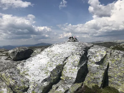
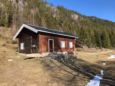
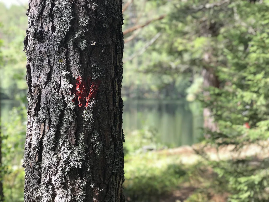
Photos (3)
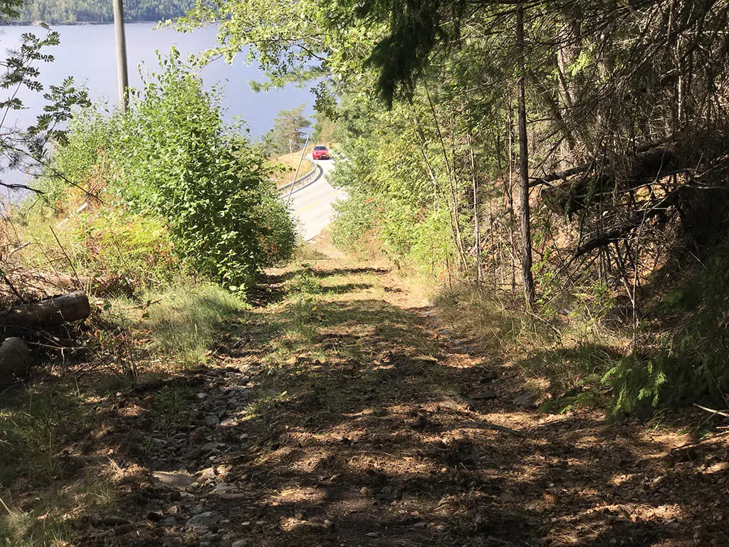
1 / 3

Videos (1)
Igletveit - turen
User photos (1)
Practical info
- Direction
- tur-retur
- Season
- Summer
- Trail quality
- 4/5
- Solitude
- 4/5
Got any good trail tips?
Seljord
Telemark
fintur.no
Telemark
fintur.no