Jaspisfjellet
Weather forecast
Hentar vêrdata…
Kjelde: Yr.no (Meteorologisk institutt)
Map and route
S Start
M Finish
▲ Highest point
▼ Lowest point
km Main route
↕ m Elevation
About this hike
Jaspisfjellet - sharp peaks and wild mountain nature in Nord-Skorve
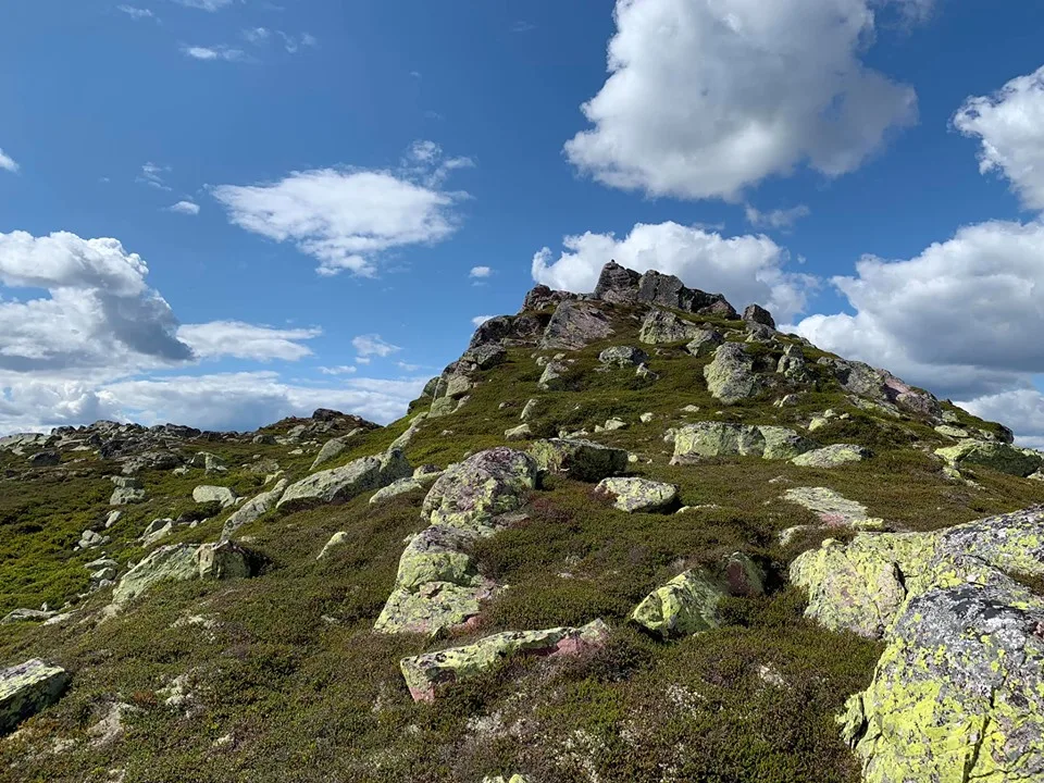
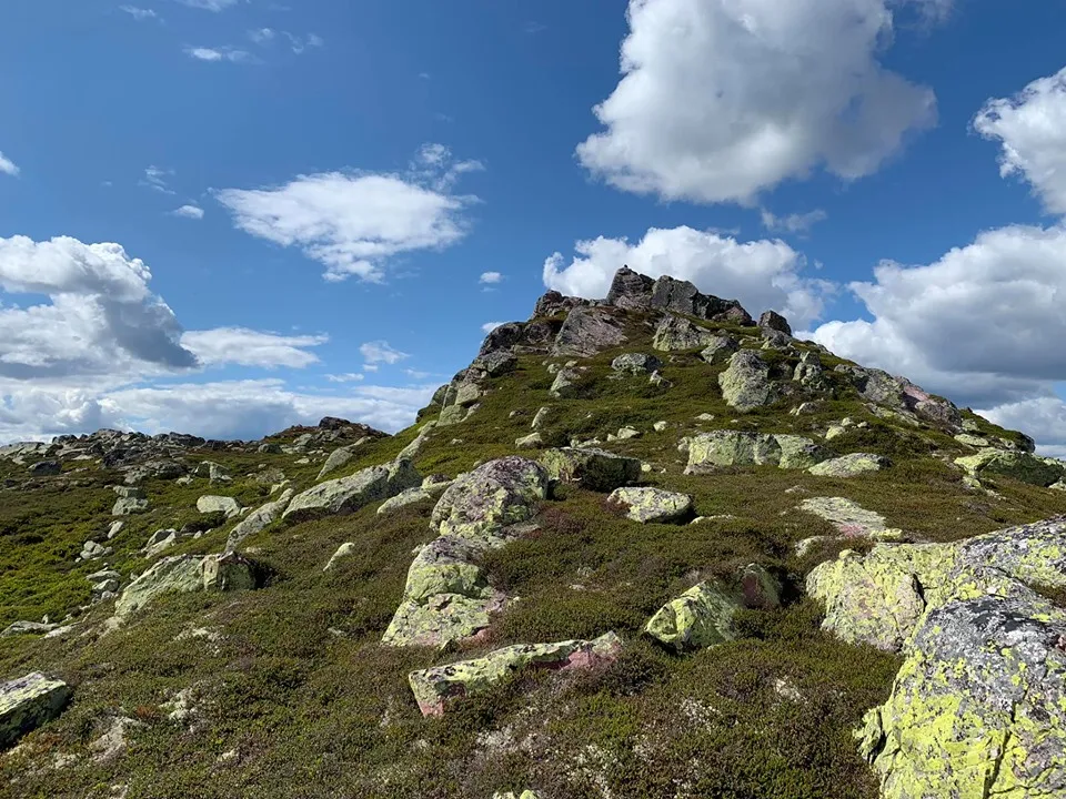
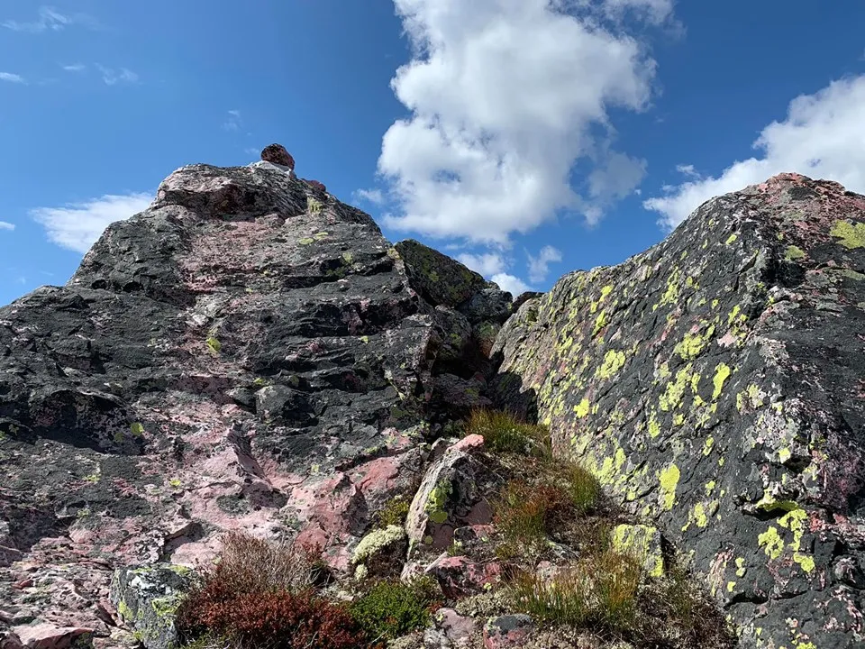
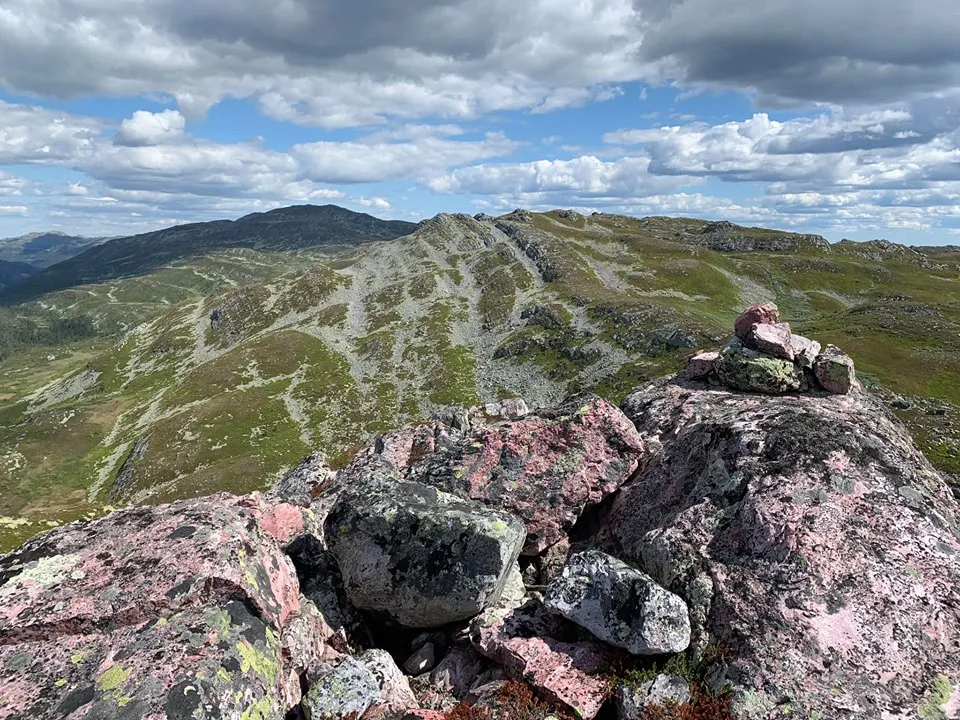
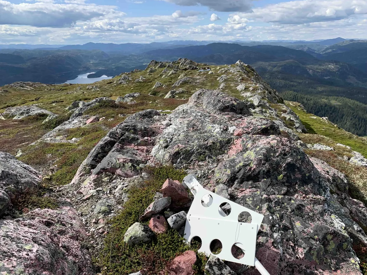
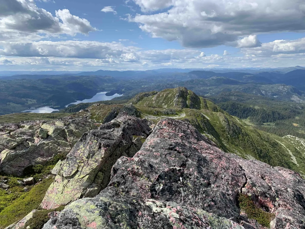
Jaspisfjellet is located behind the striking Hestenutane in Nord-Skorve, and is known for its sharp peaks and dramatic silhouette. The name probably comes from its resemblance to the stone jasper, but there's no jasper here - it's the shape and character of the mountain that gives it its distinctive appearance.
You can hike up to Jaspisfjellet from two sides:
- From the Flatdal side, via Breikvamfjellet, which connects Skorvekammen from the southwest and towards the peaks.
- From Stav i Langlim, where you enter from the north side and get a more direct, but steep and partly unmarked route up to the mountain.
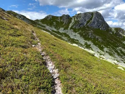
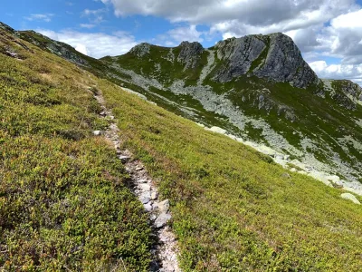
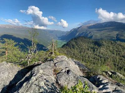
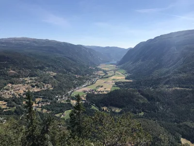
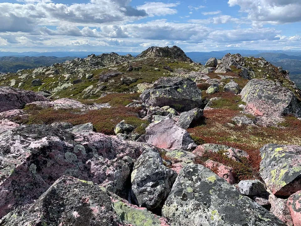
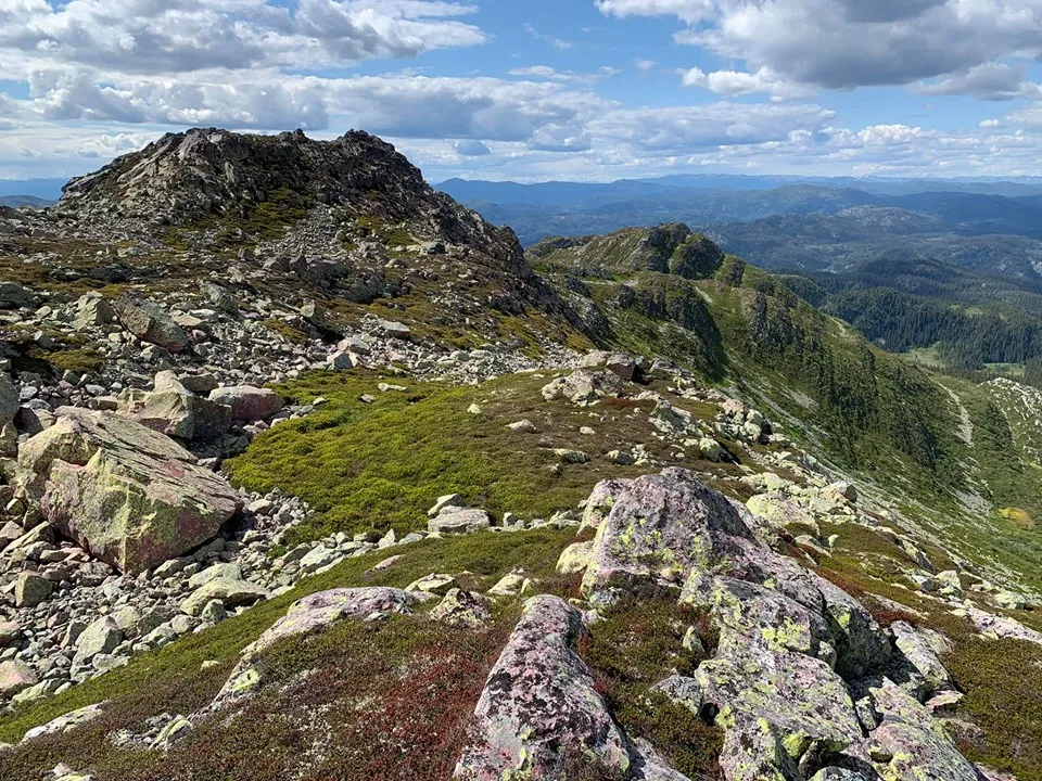
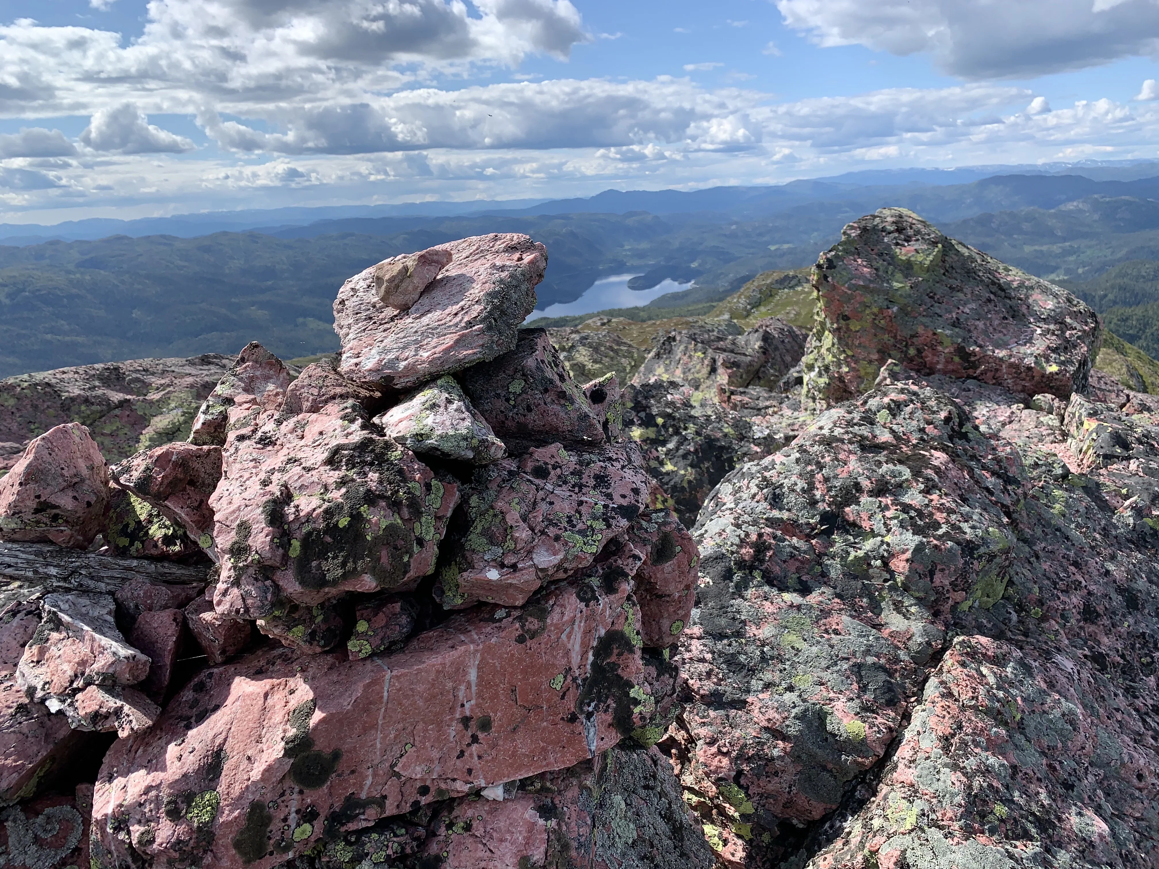
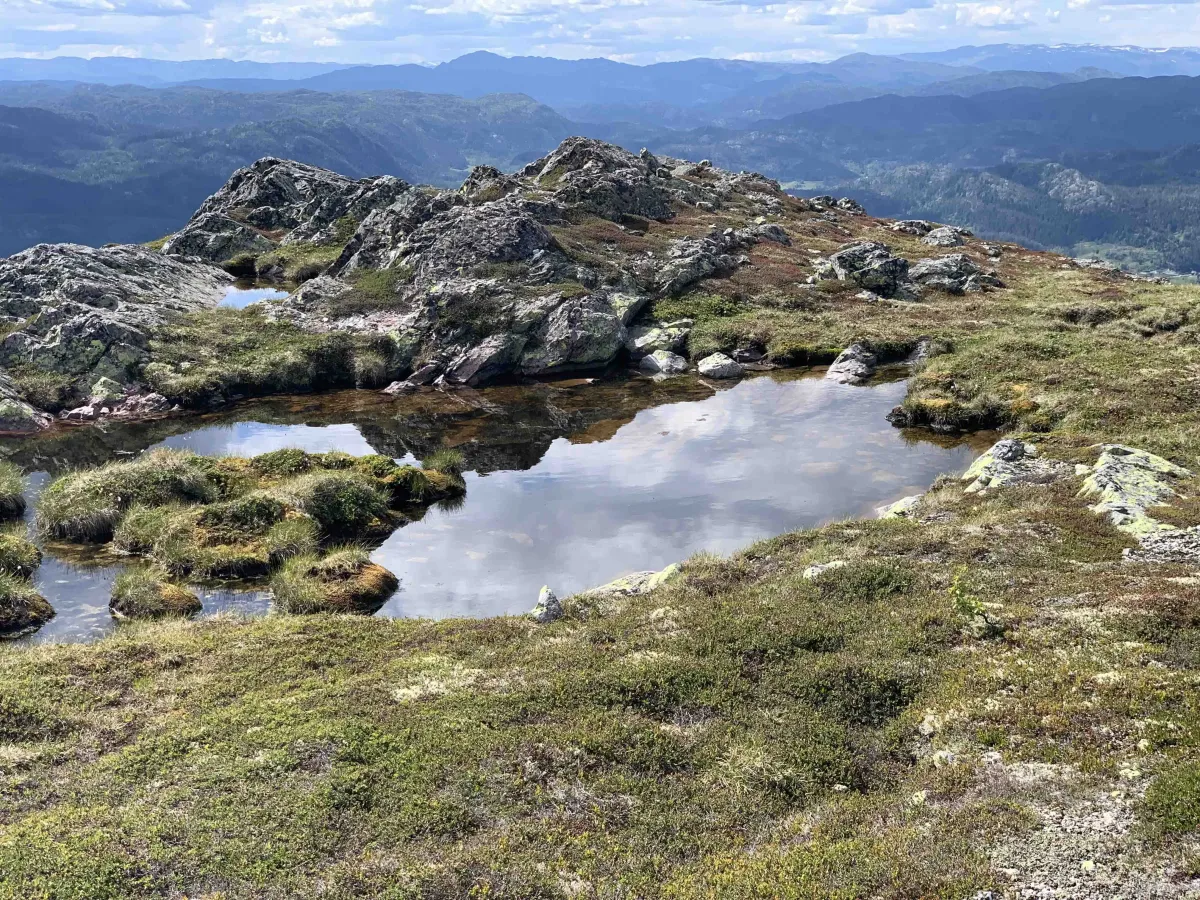
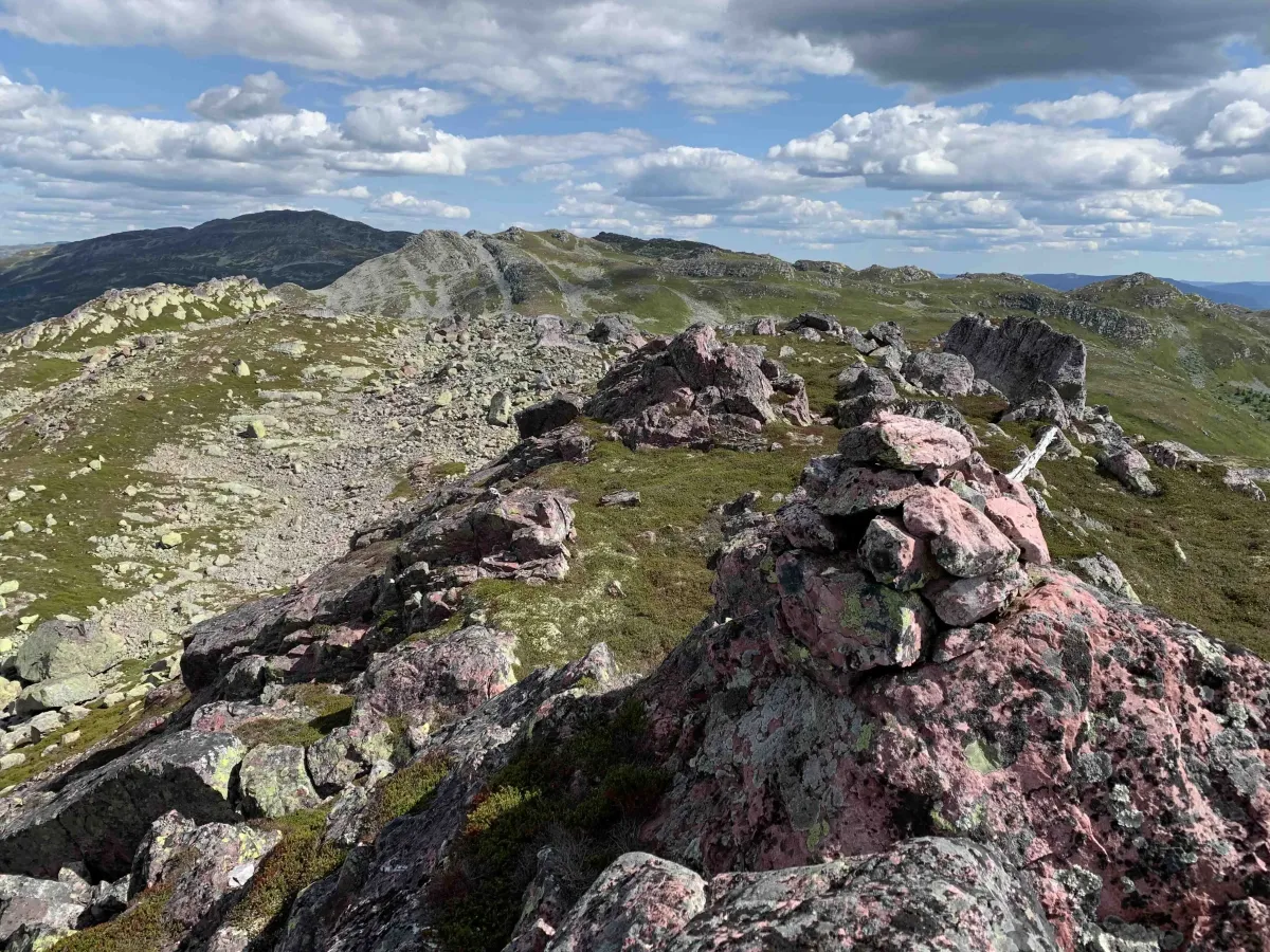
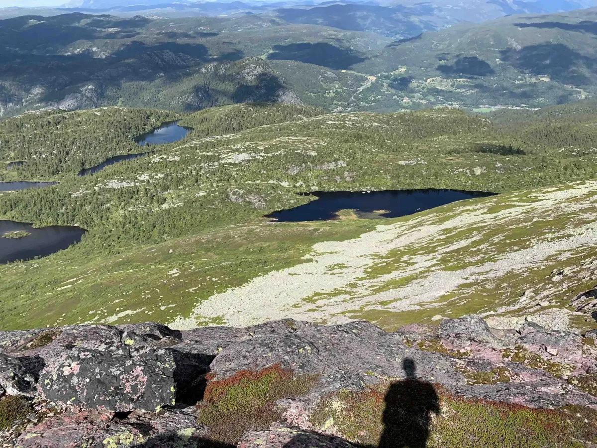
The hike takes you into a wild and open mountain area, where you can continue backwards along the pinnacles if you want a longer hike. The view stretches across Flatdal, Bø and Lifjell in one direction, and on towards Skorve and Seljord in the other.
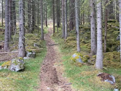
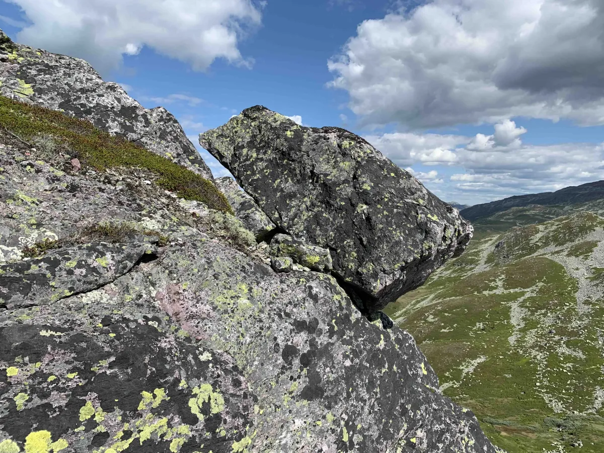
This is not a marked hiking trail, and you should be used to the mountains, have good footwear and be prepared for rough and partly demanding terrain.
Length: Variable (4-10 km round trip depending on route)
Time: 3-5 hours round trip
Altitude: Approx. 1160 m above sea level
Gradient: Steep and steady
Terrain: Ur, mountain ridges, partly unmarked
Difficulty level: Demanding
Suitable for: Experienced hikers and those who want to explore Skorve from a new perspective
Jaspisfjellet is located behind the striking Hestenutane in Nord-Skorve, and is known for its sharp peaks and dramatic silhouette. The name probably comes from its resemblance to the stone jasper, but there's no jasper here - it's the shape and character of the mountain that gives it its distinctive appearance.
You can hike up to Jaspisfjellet from two sides:
- From the Flatdal side, via Breikvamfjellet, which connects Skorvekammen from the southwest and towards the peaks.
- From Stav i Langlim, where you enter from the north side and get a more direct, but steep and partly unmarked route up to the mountain.
The hike takes you into a wild and open mountain area, where you can continue backwards along the pinnacles if you want a longer hike. The view stretches across Flatdal, Bø and Lifjell in one direction, and on towards Skorve and Seljord in the other.
This is not a marked hiking trail, and you should be used to the mountains, have good footwear and be prepared for rough and partly demanding terrain.
Length: Variable (4-10 km round trip depending on route)
Time: 3-5 hours round trip
Altitude: Approx. 1160 m above sea level
Gradient: Steep and steady
Terrain: Ur, mountain ridges, partly unmarked
Difficulty level: Demanding
Suitable for: Experienced hikers and those who want to explore Skorve from a new perspective
Photos (5)
1 / 5
Videos (1)
Hestenutan og Jaspisfjellet
Trail story
Varianter og historie
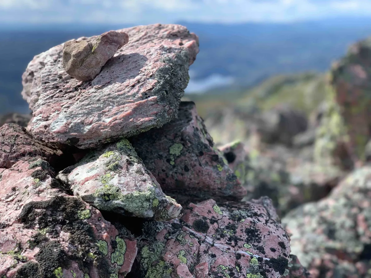
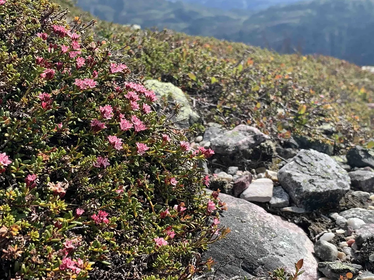
Jasper comes in many shades, often speckled. The base mineral is silicon oxide, but jasper also contains up to 20% of other substances that create the various color combinations. Solid-colored jasper is rare.
The word jasper comes via the Latin iaspis from the Greek ἴασπιÏ', Ãaspis, which originally means "[color] spotted stone". This word in turn derives from an oriental language, perhaps from ancient Egyptian or Persian (yashp).
User photos (8)
1 / 8
Practical info
- Direction
- tur-retur
- Season
- Summer
- Trail quality
- 3/5
- Solitude
- 6/5
Got any good trail tips?
Flatdal
Telemark
fintur.no
Telemark
fintur.no