Knurrlinatten
Weather forecast
Hentar vêrdata…
Kjelde: Yr.no (Meteorologisk institutt)
Map and route
S Start
M Finish
▲ Highest point
▼ Lowest point
km Main route
↕ m Elevation
About this hike
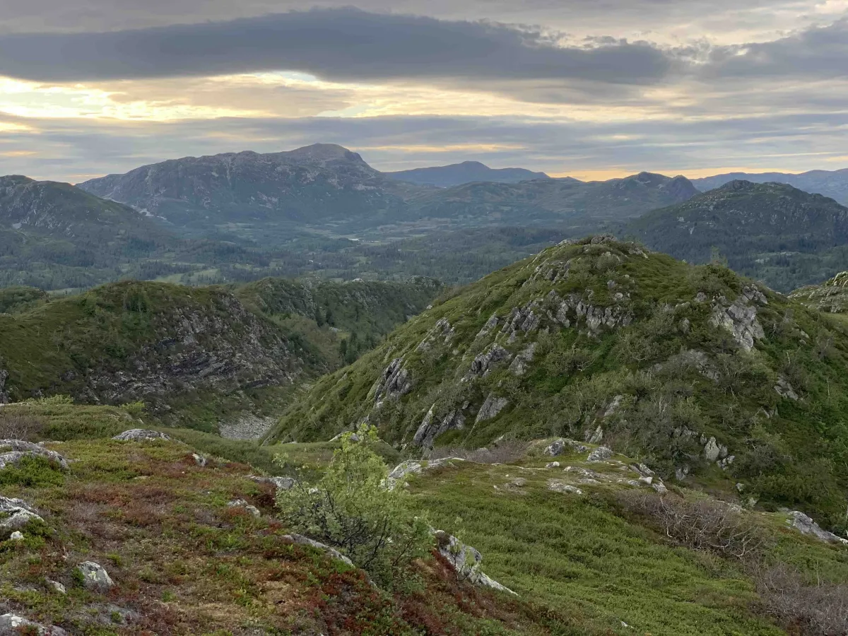
Top tour to Knurrlinatten via Minnsjordalen
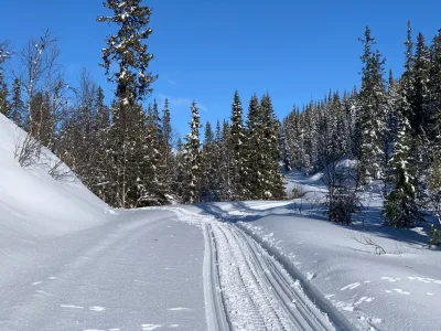
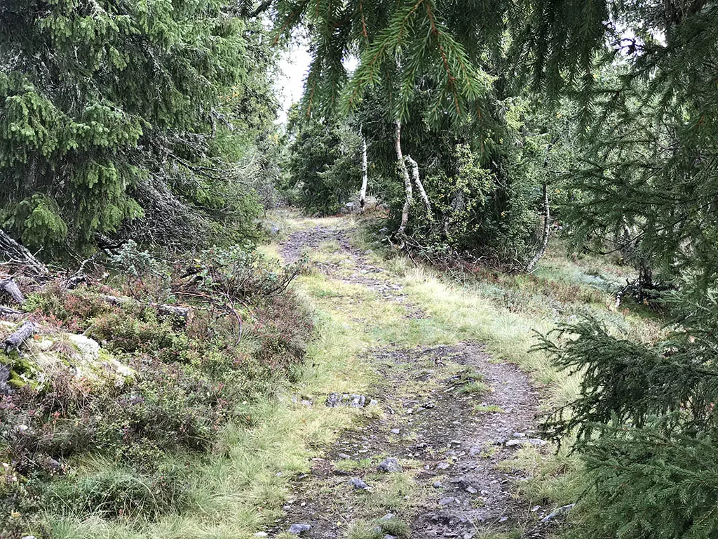
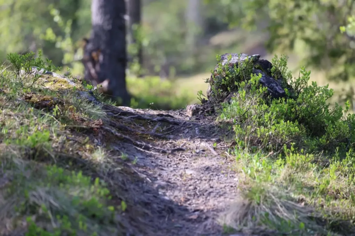
The trip to Knurrlinatten starts at the top of Svardal at Nørsteig, where there is a toll road. Here you park your car and follow the gravel road to Skrøyva. This section is easy to walk and provides a great start to the trip.
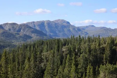
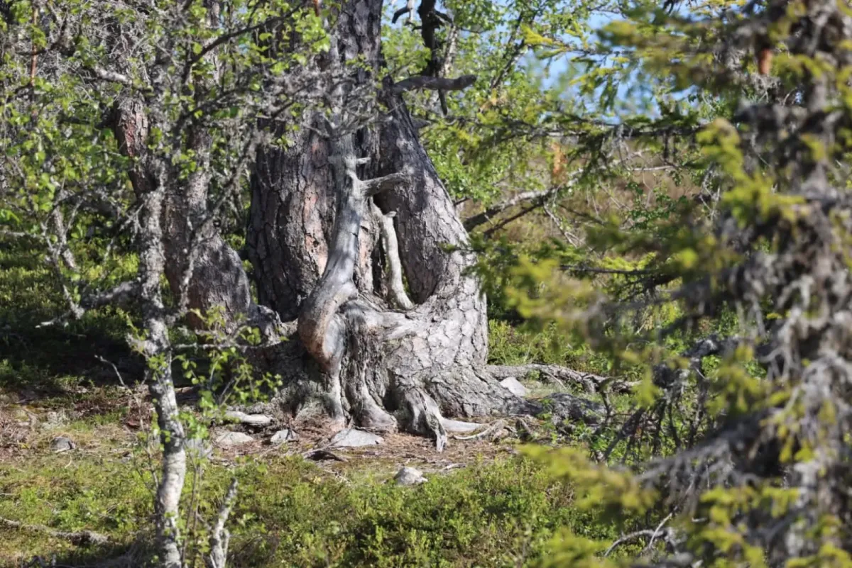
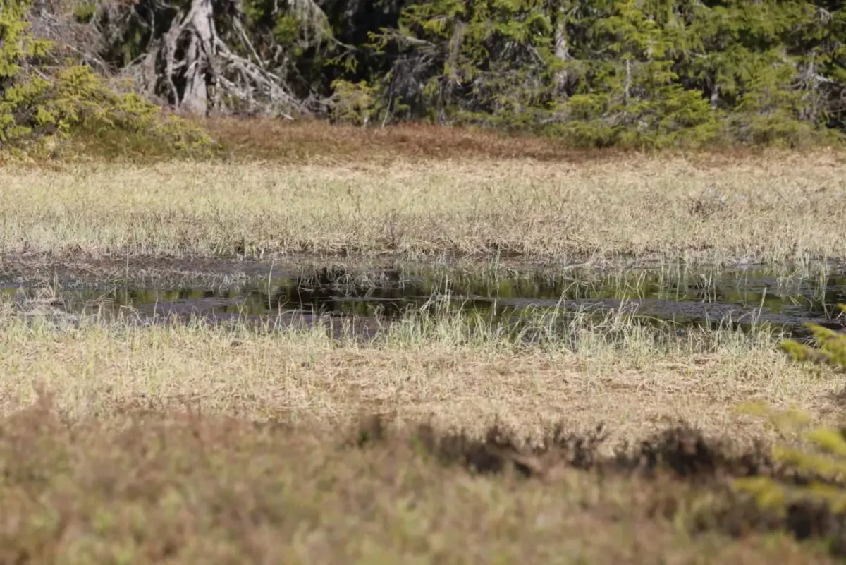
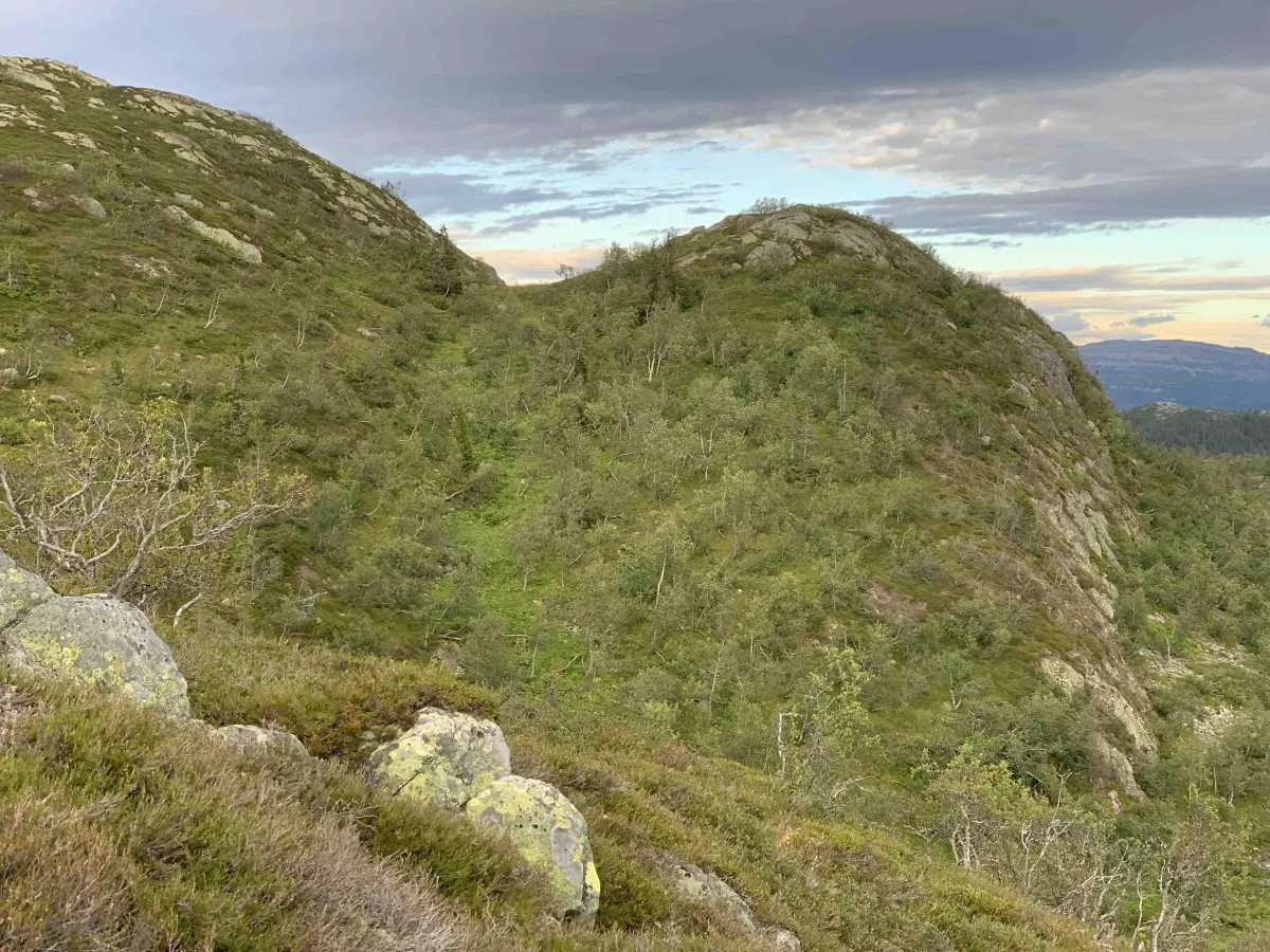
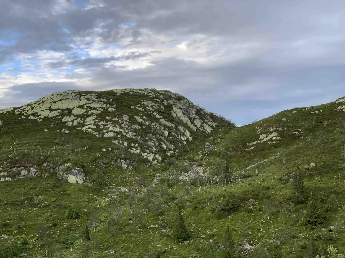
From Skrøyva you continue up Minnsjordalen - a beautiful and tranquil mountain valley with glimpses of marsh, forest and higher terrain. Eventually, the road ends at the border of the conservation area, and from here the trail takes over.
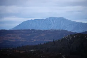
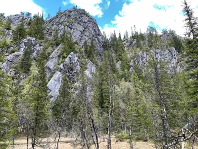
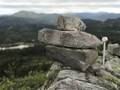
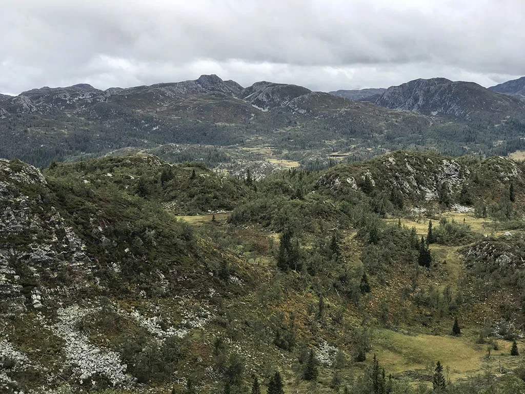
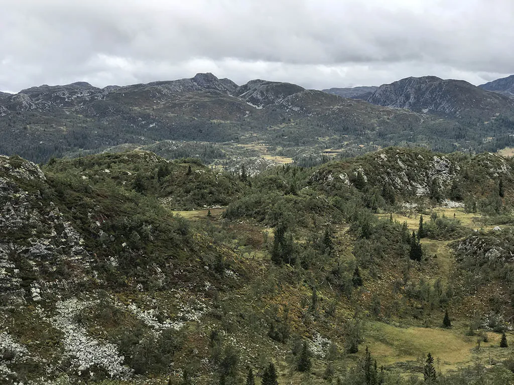
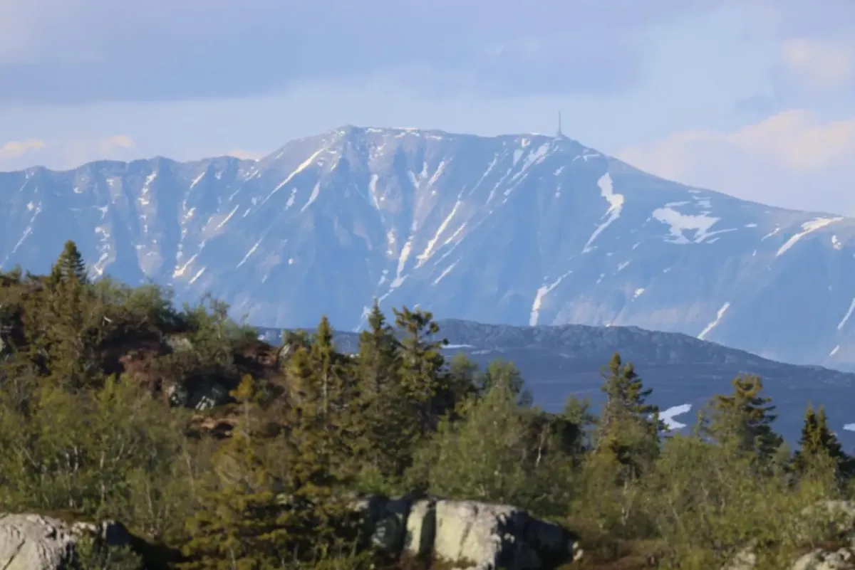
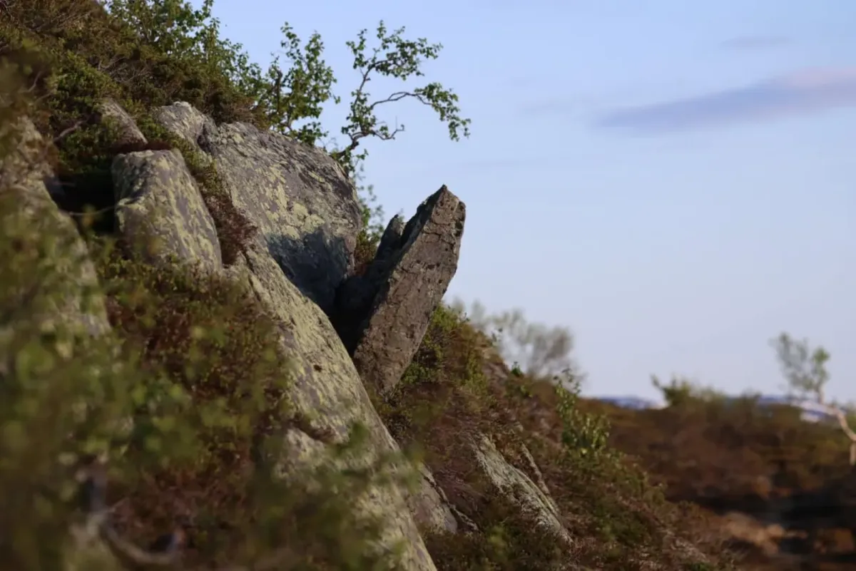
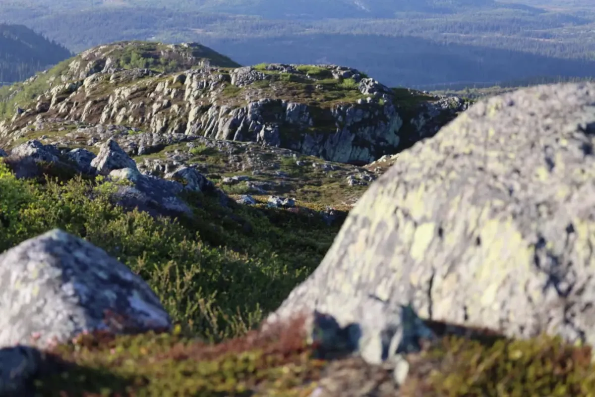
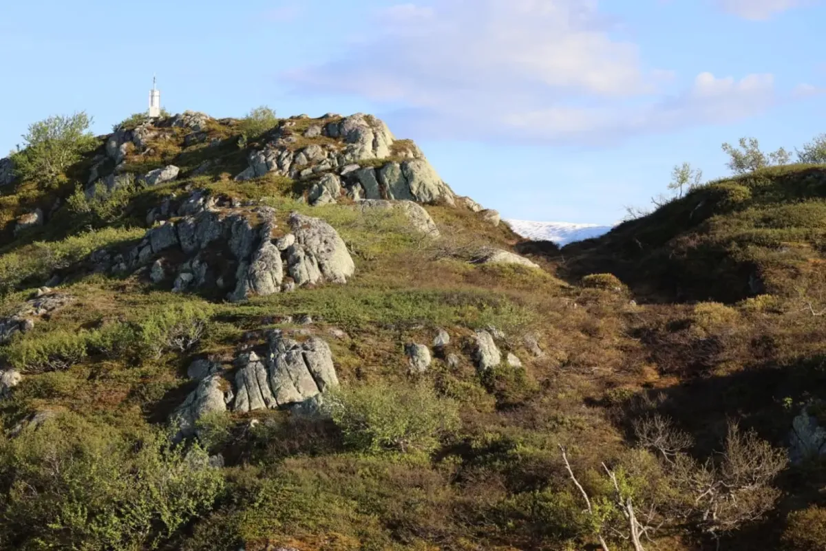
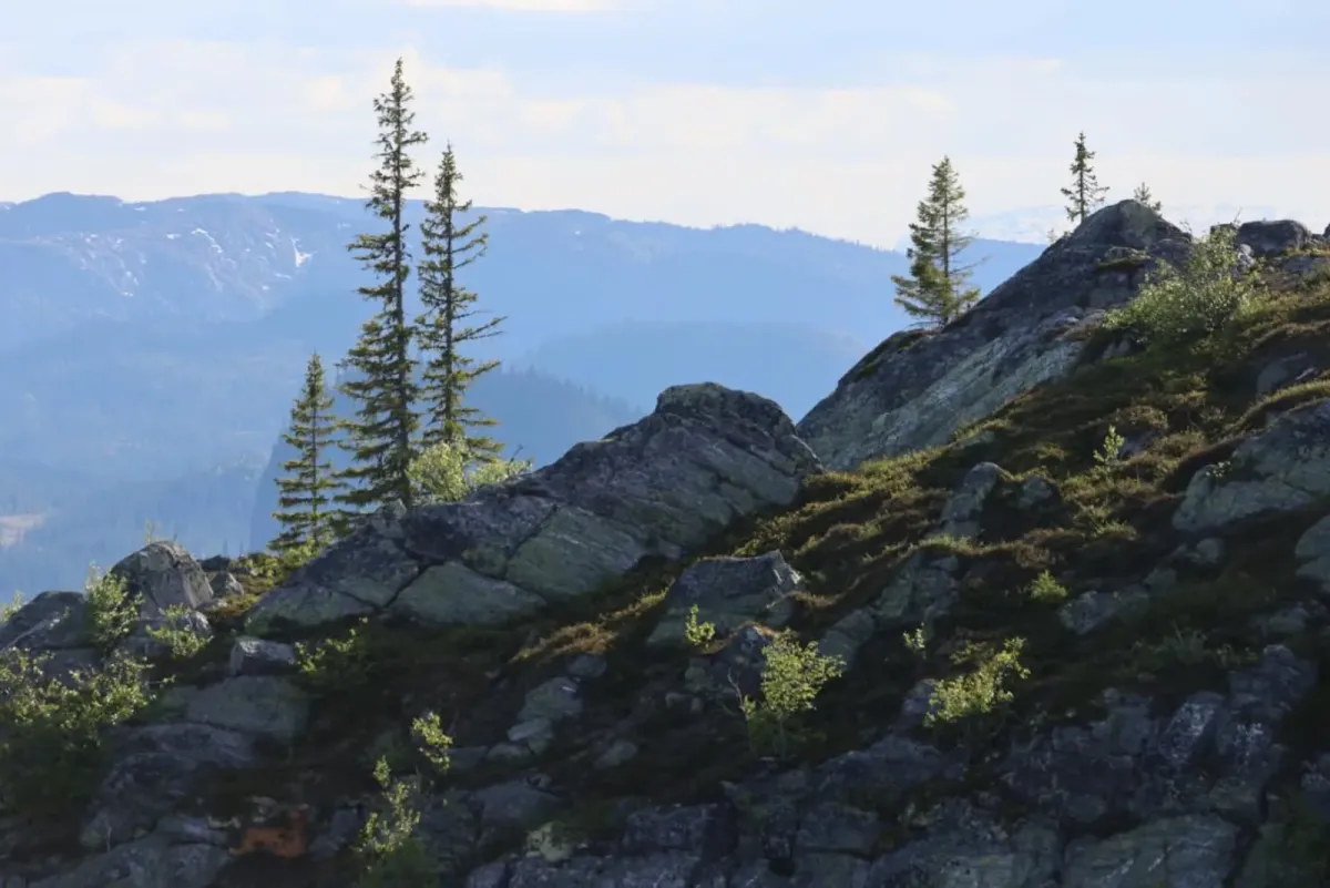
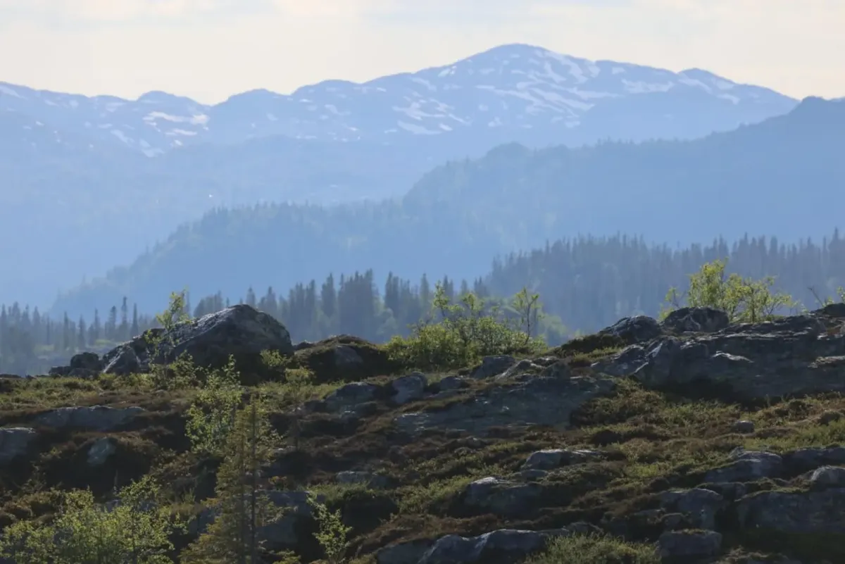
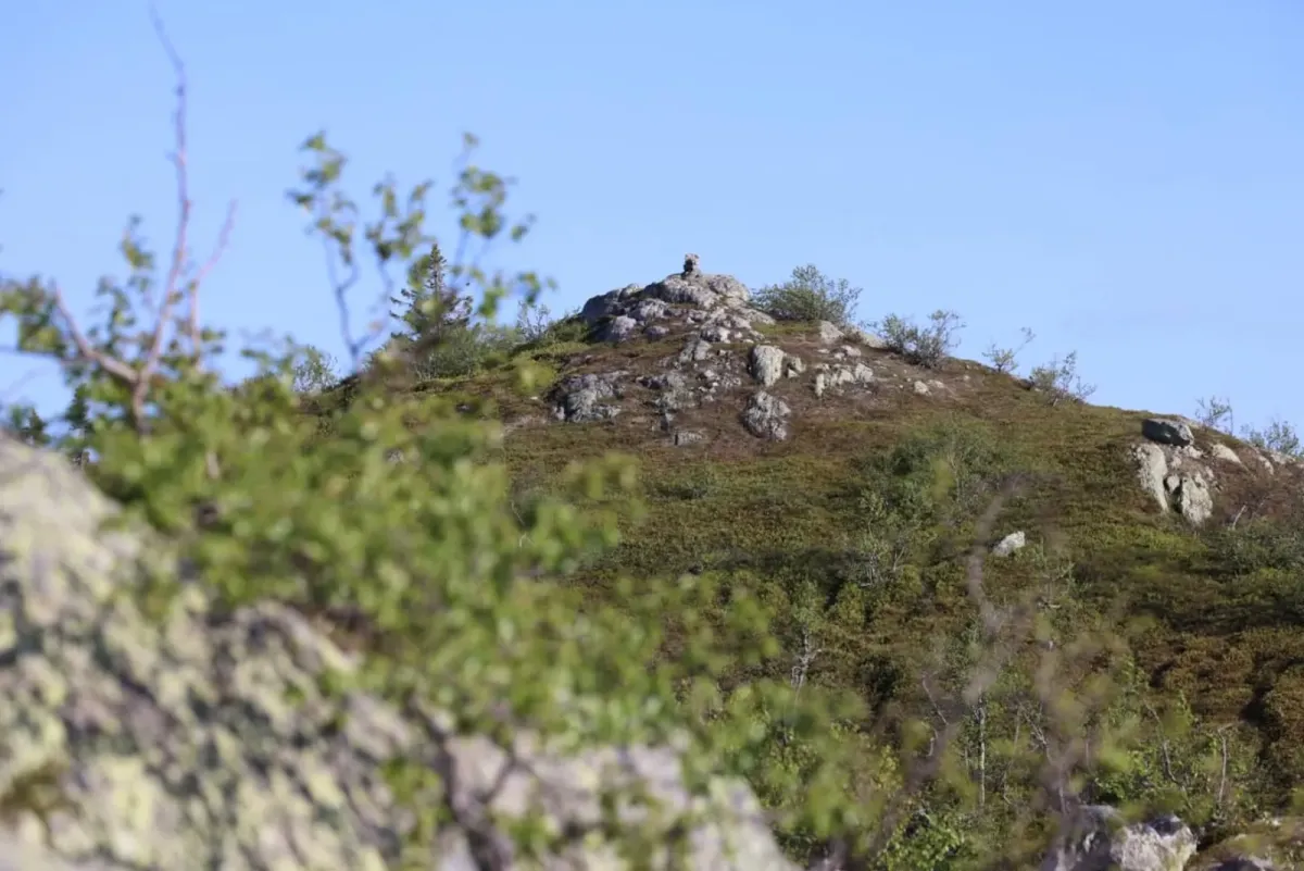
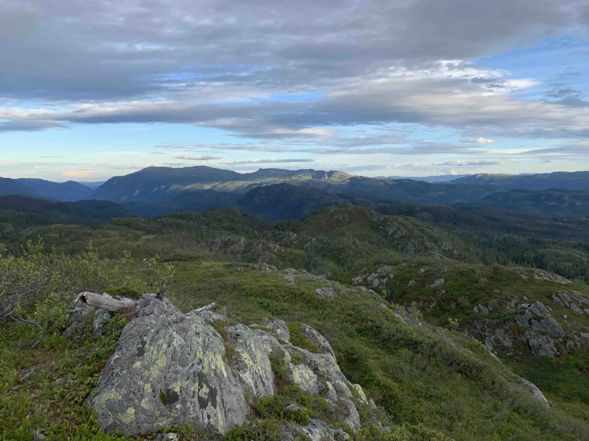
The trail continues to wind through mountainous terrain up towards Knurrlinatten, and offers great views along the way - especially when you reach the top. The summit itself is 1053 meters above sea level, and from here you get a wide view of parts of Seljord, Hjartdal and into Raulandsfjella.
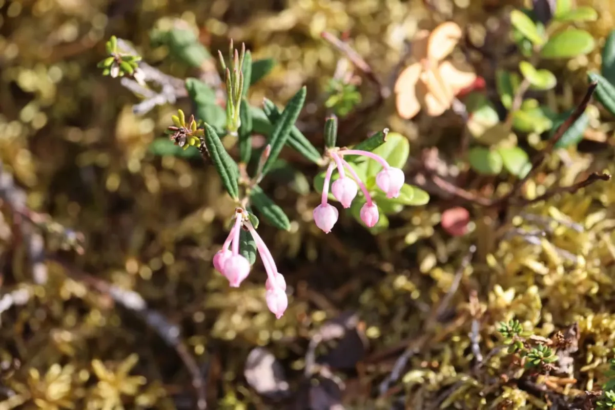
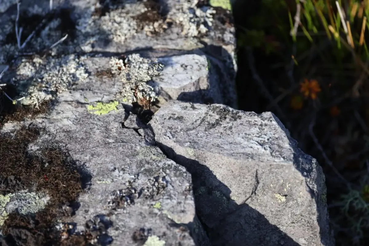
The hike requires medium to good physical fitness, but does not offer technically difficult sections. Good hiking boots are recommended, and be aware that parts of the hike go through protected nature, so show consideration and stick to the trail.
The trip to Knurrlinatten starts at the top of Svardal at Nørsteig, where there is a toll road. Here you park your car and follow the gravel road to Skrøyva. This section is easy to walk and provides a great start to the trip.
From Skrøyva you continue up Minnsjordalen - a beautiful and tranquil mountain valley with glimpses of marsh, forest and higher terrain. Eventually, the road ends at the border of the conservation area, and from here the trail takes over.
The trail continues to wind through mountainous terrain up towards Knurrlinatten, and offers great views along the way - especially when you reach the top. The summit itself is 1053 meters above sea level, and from here you get a wide view of parts of Seljord, Hjartdal and into Raulandsfjella.
The hike requires medium to good physical fitness, but does not offer technically difficult sections. Good hiking boots are recommended, and be aware that parts of the hike go through protected nature, so show consideration and stick to the trail.
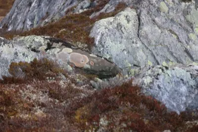
Photos (17)
1 / 17
Videos (2)
Knurrlinatten - turen opp
Knurrlinatten (1053 moh) - toppen
User photos (4)
1 / 4
Practical info
- Direction
- tur-retur
- Season
- Summer
- Trail quality
- 2/5
- Solitude
- 5/5
Got any good trail tips?
Svartdal
Telemark
fintur.no
Telemark
fintur.no