Kodde

Weather forecast
Hentar vêrdata…
Kjelde: Yr.no (Meteorologisk institutt)
Map and route
S Start
M Finish
▲ Highest point
▼ Lowest point
km Main route
km Alternativ rute
↕ m Elevation
About this hike
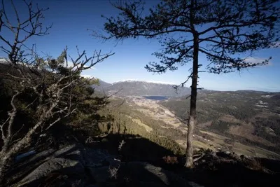
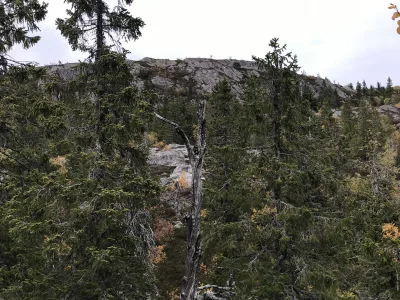
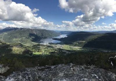
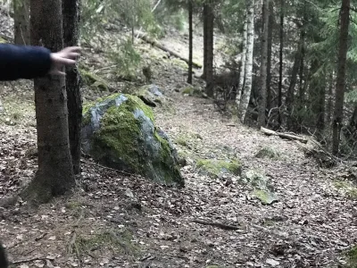
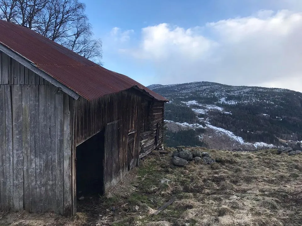
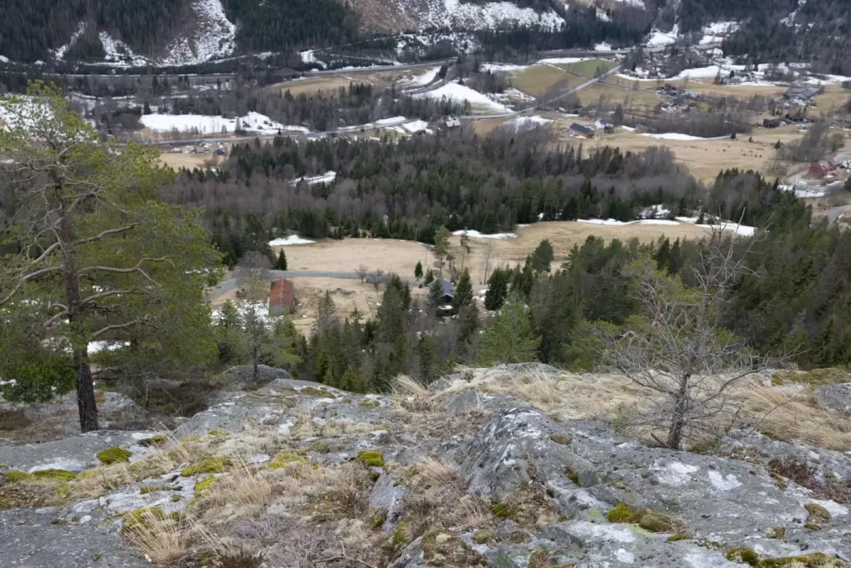
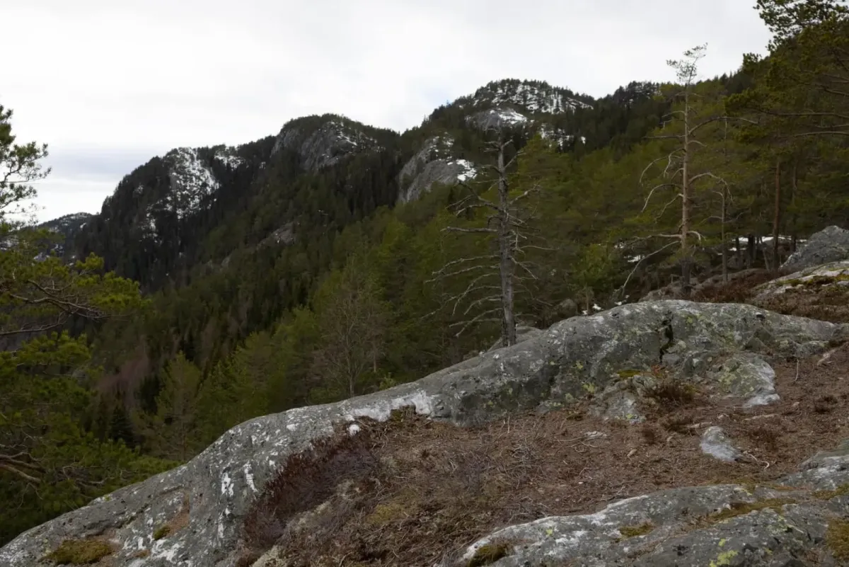
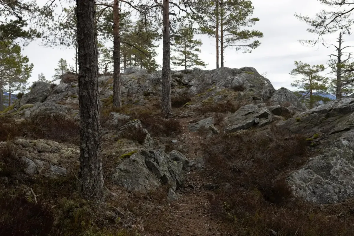
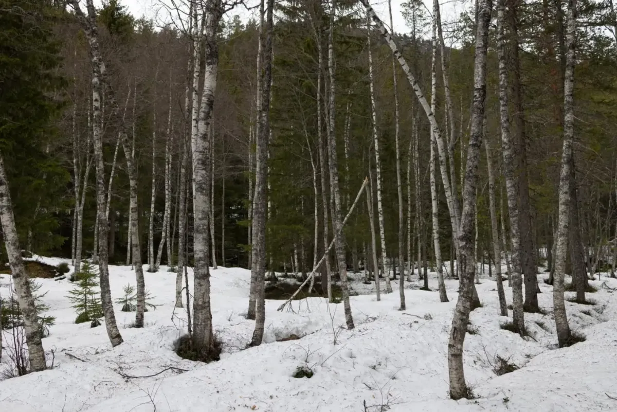
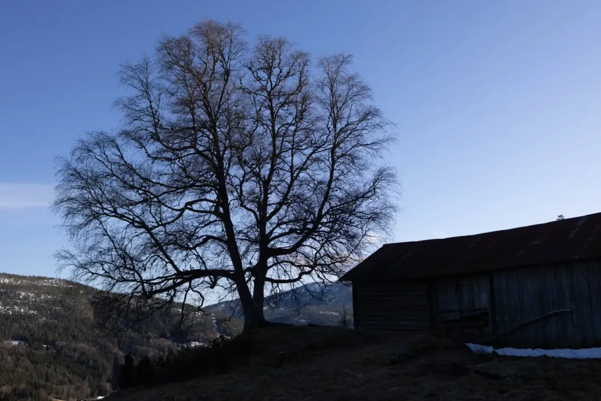
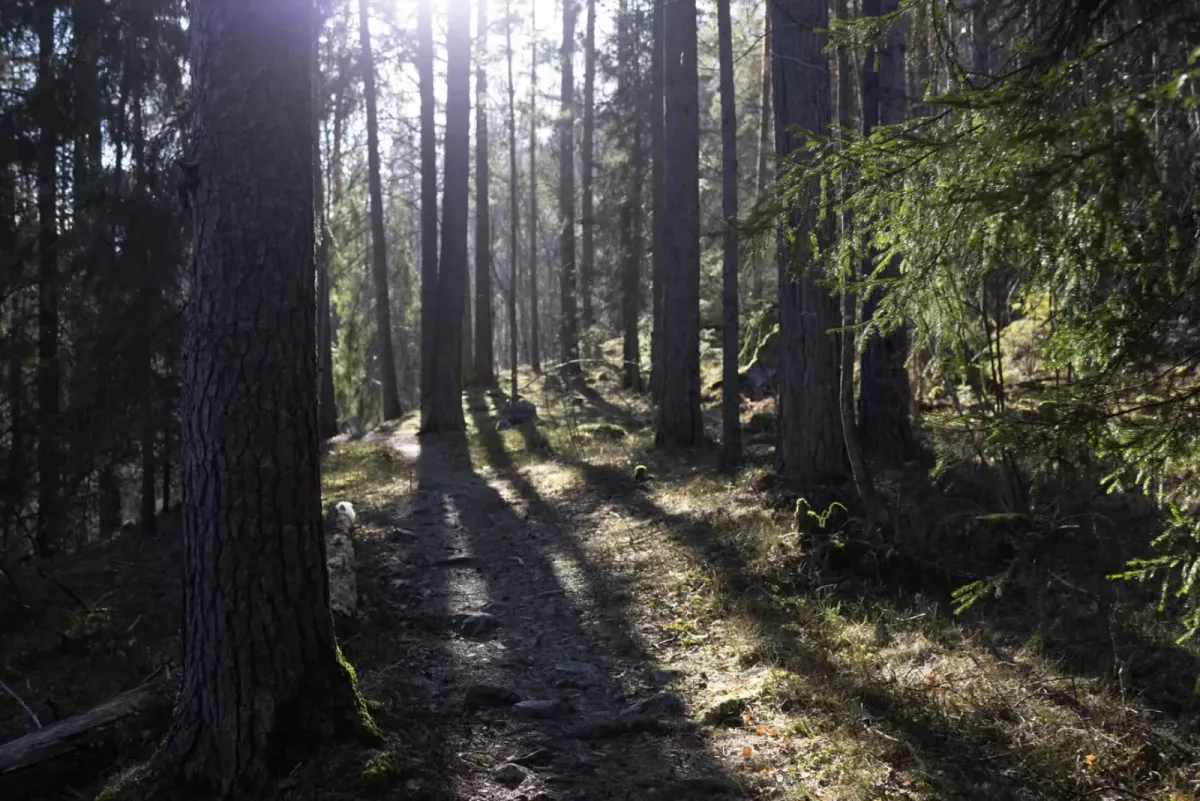
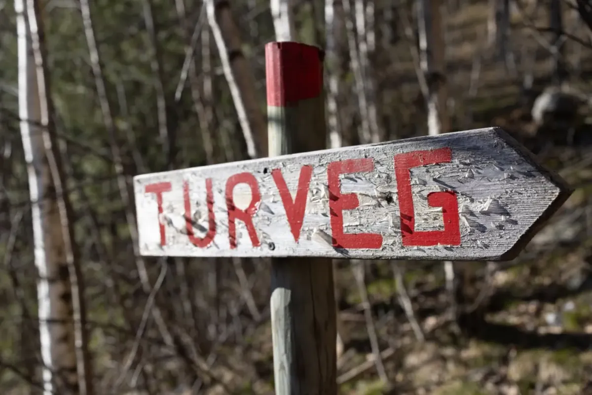
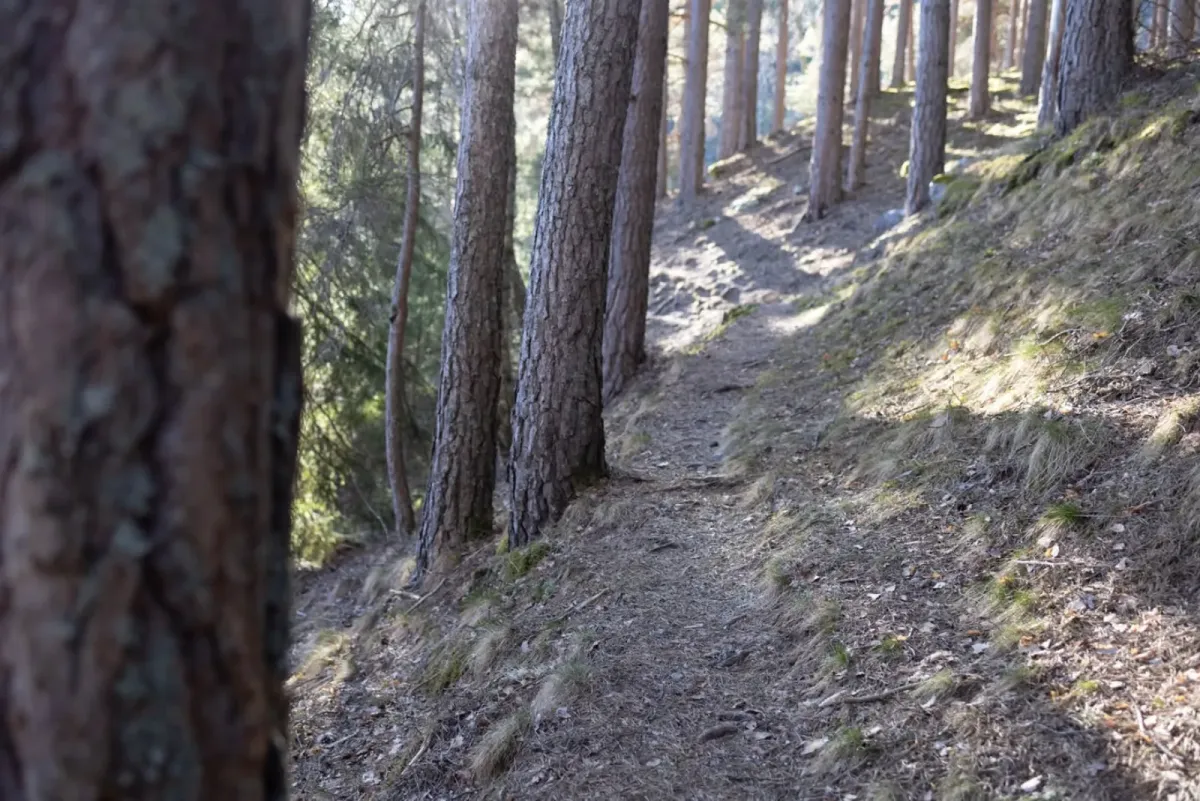
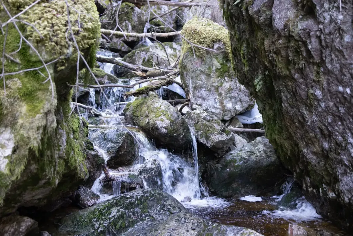
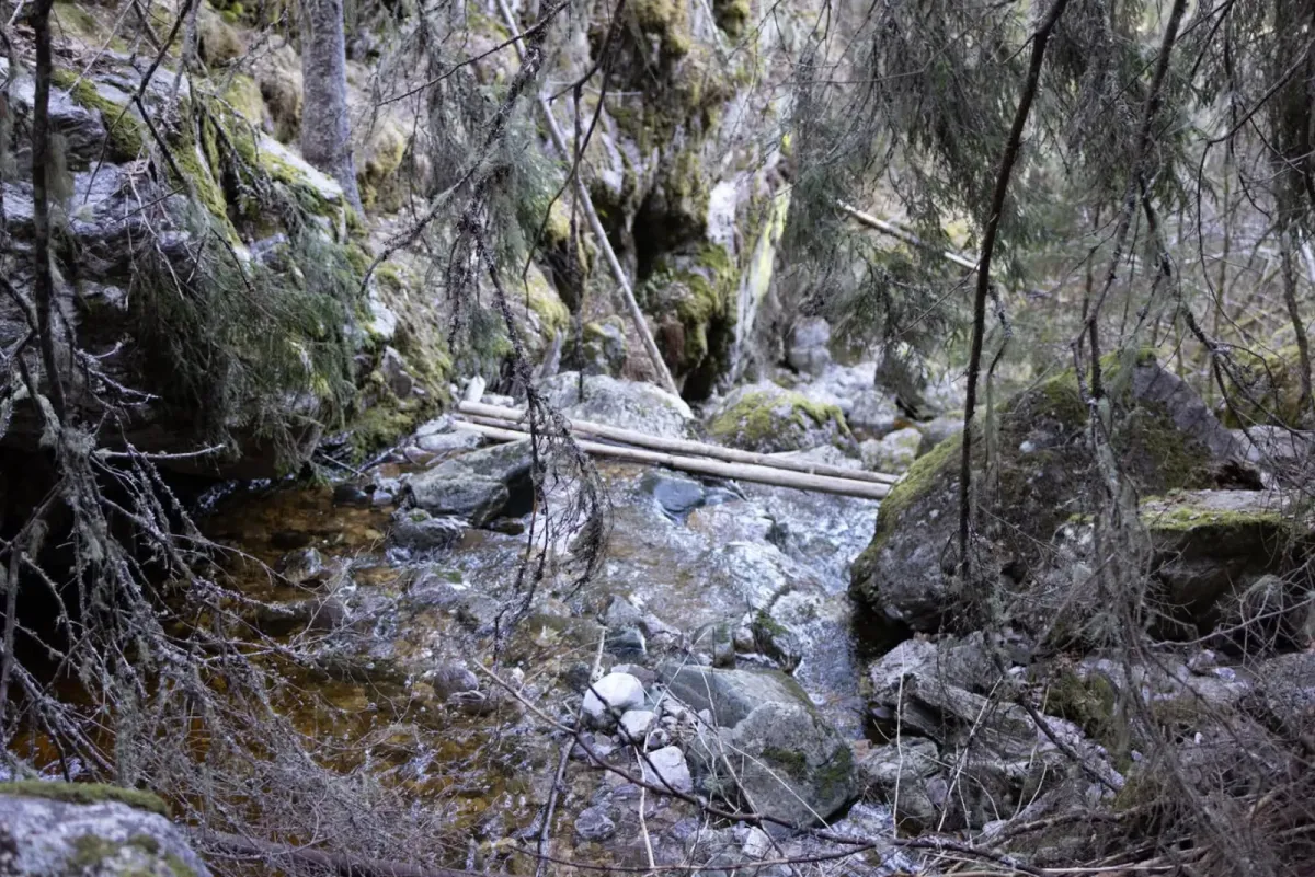
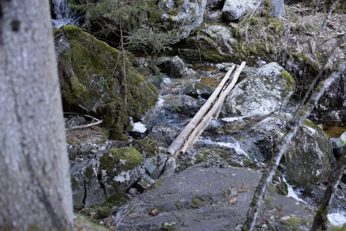
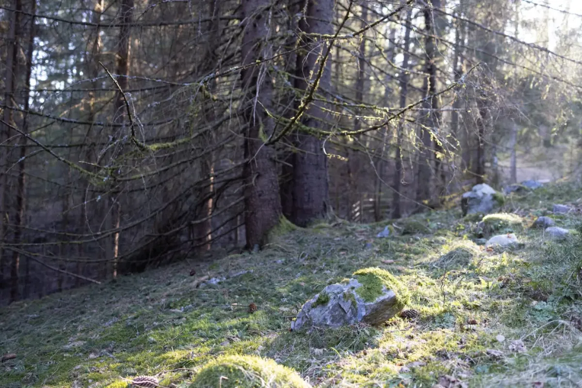
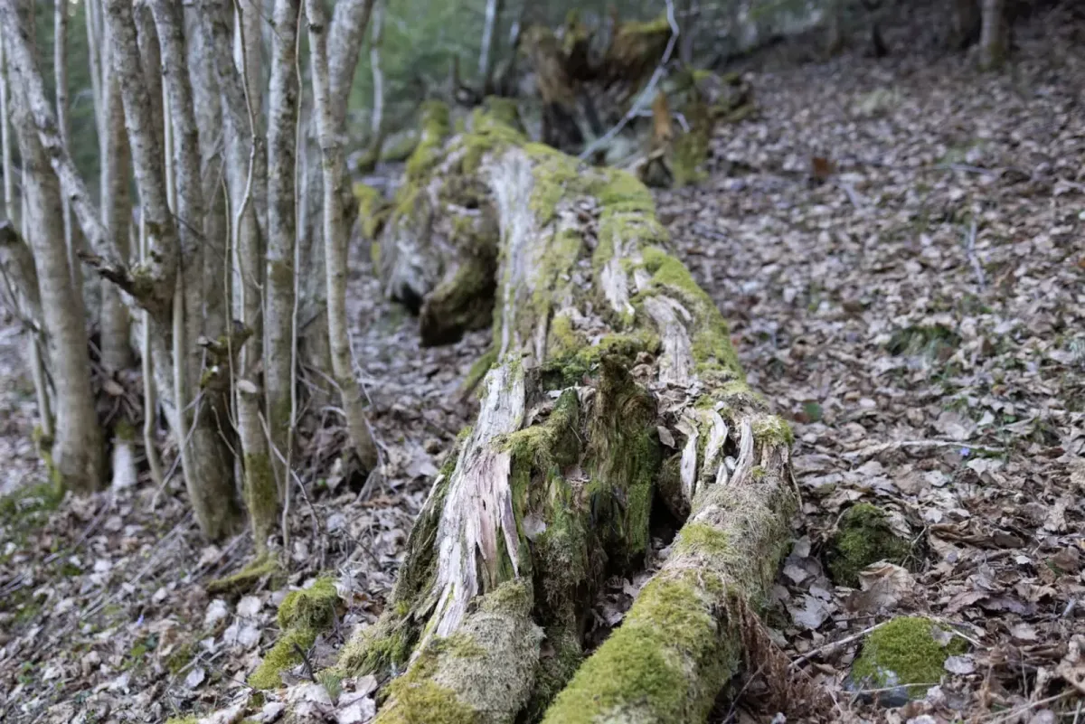
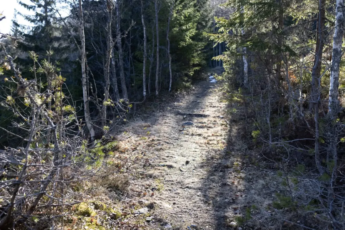
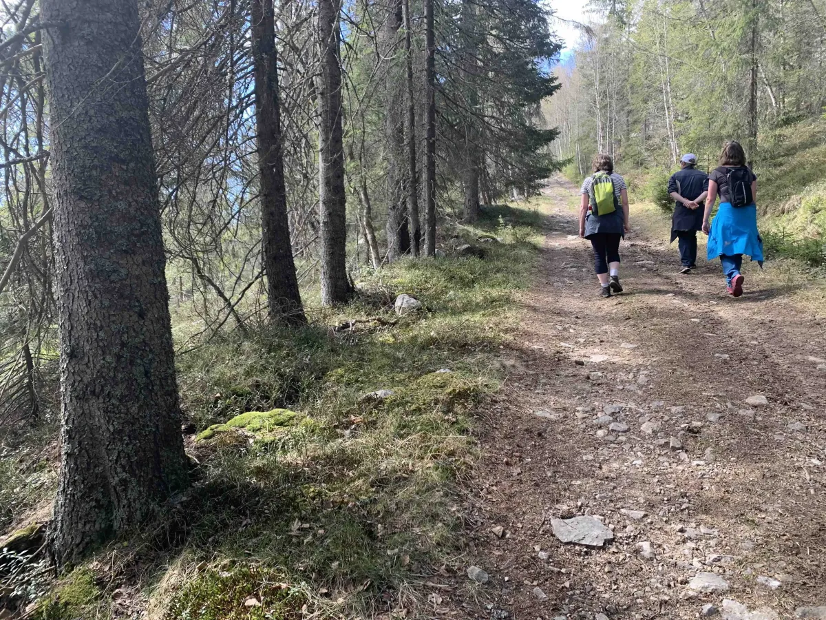
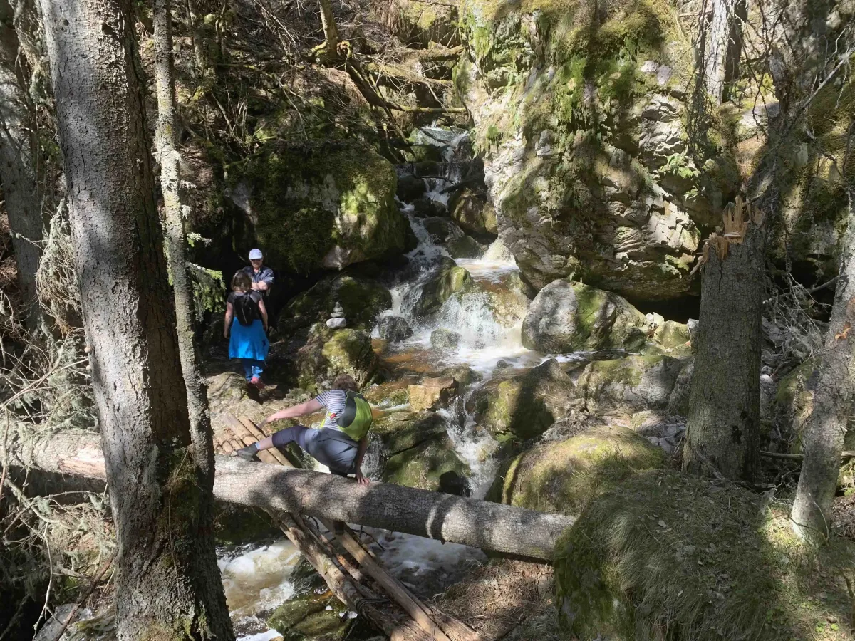
Kodde, or Kødde, is a nice homestead at the top of Norbygdigrendi. There are many roads leading here. You can start the hike from the top of the building site in Gravshaugane. You then follow the Nordaberg trail to the Runningen field. From there, continue up to the top and onto the path. You will then pass Skervåi and then walk up to Klomset. This road/trail takes you straight to Kødde.
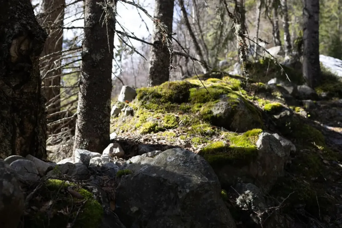
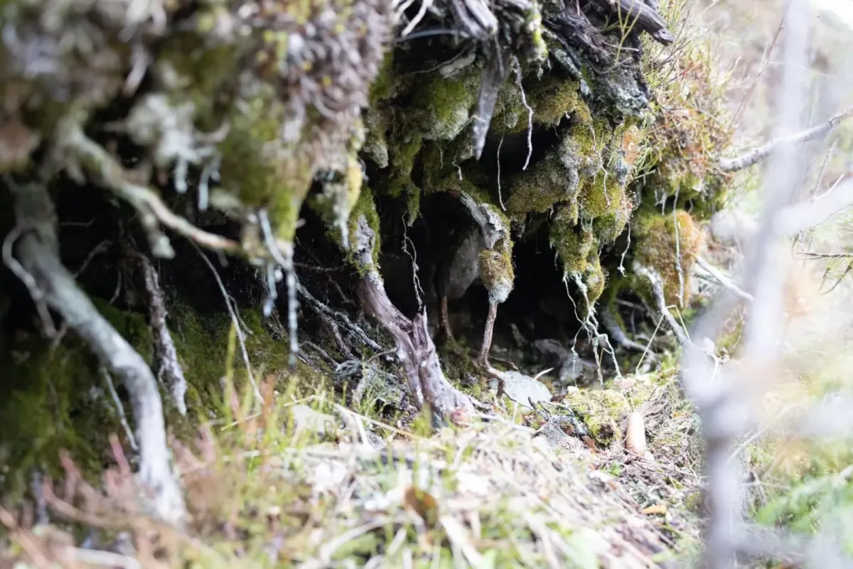
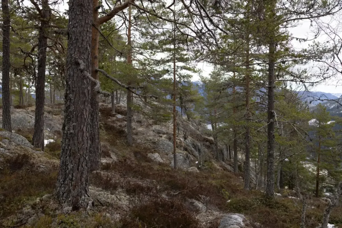
Photos (31)
1 / 31
User photos (5)
1 / 5
Practical info
- Direction
- tur-retur
- Season
- Summer
- Trail quality
- 2/5
- Solitude
- 5/5
Got any good trail tips?
Seljord
Telemark
fintur.no
Telemark
fintur.no