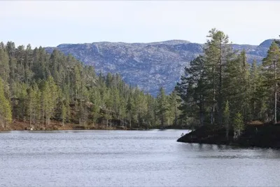
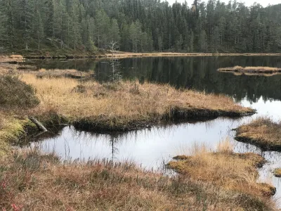
Kroktjønn
 T
T
Weather forecast
Hentar vêrdata…
Kjelde: Yr.no (Meteorologisk institutt)
Map and route
S Start
M Finish
▲ Highest point
▼ Lowest point
km Main route
↕ m Elevation
About this hike
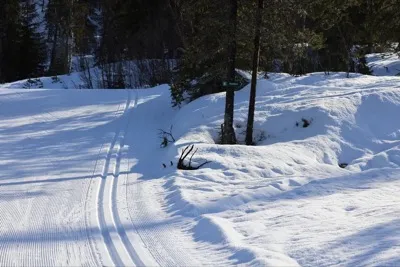
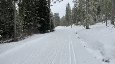
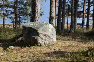
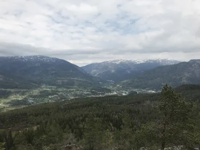
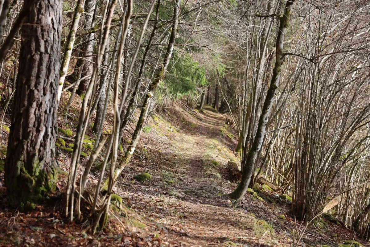
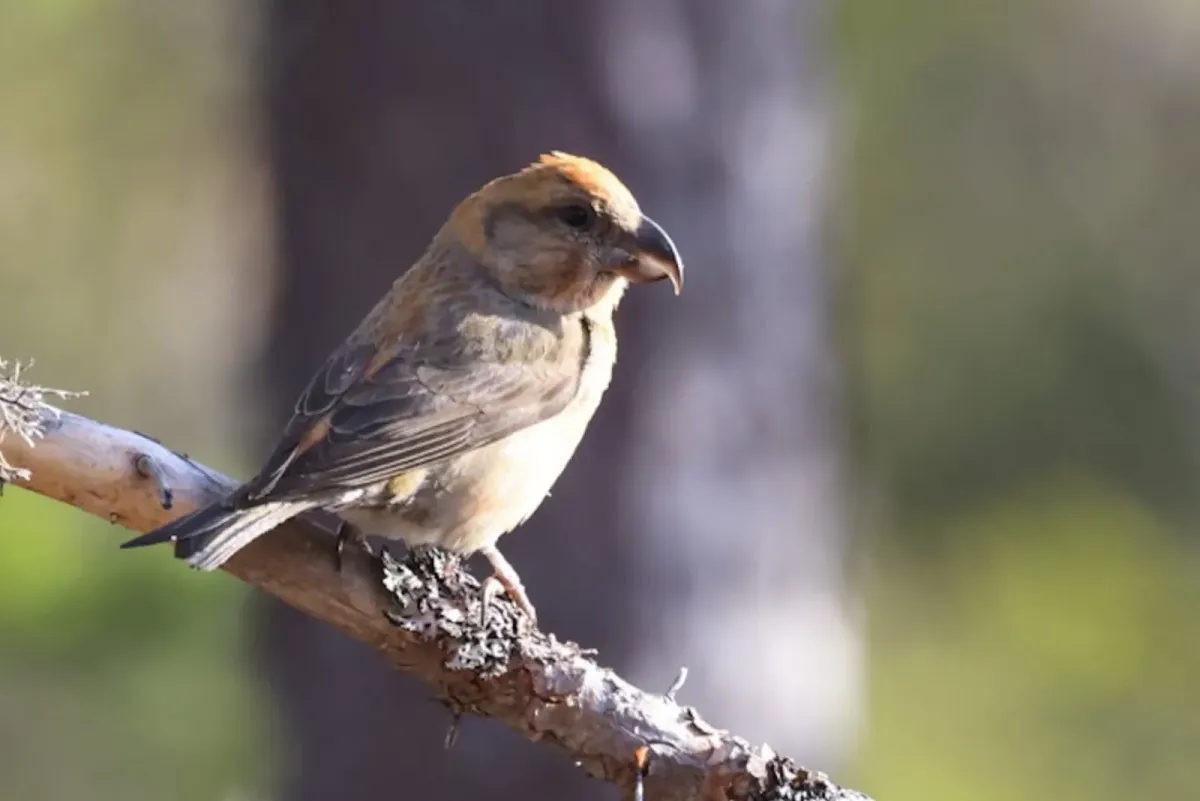
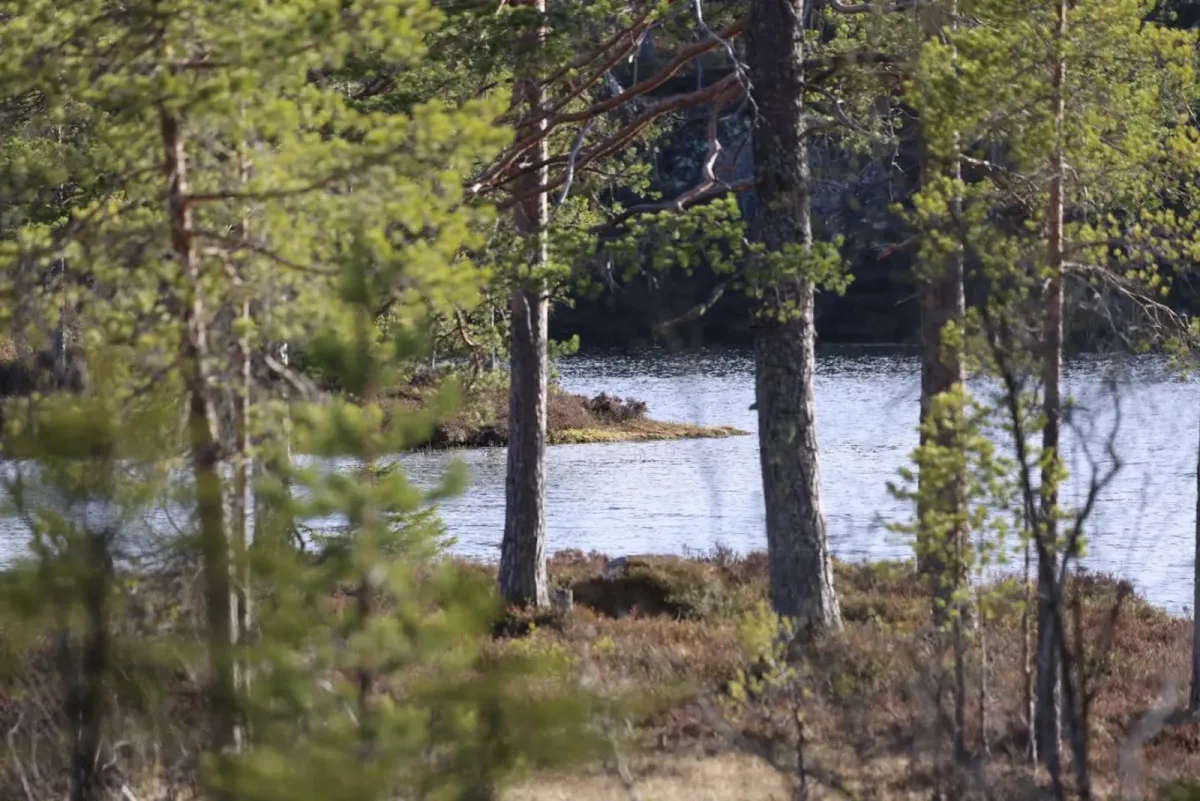
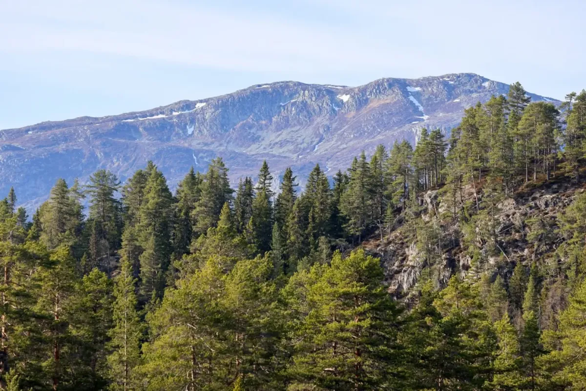
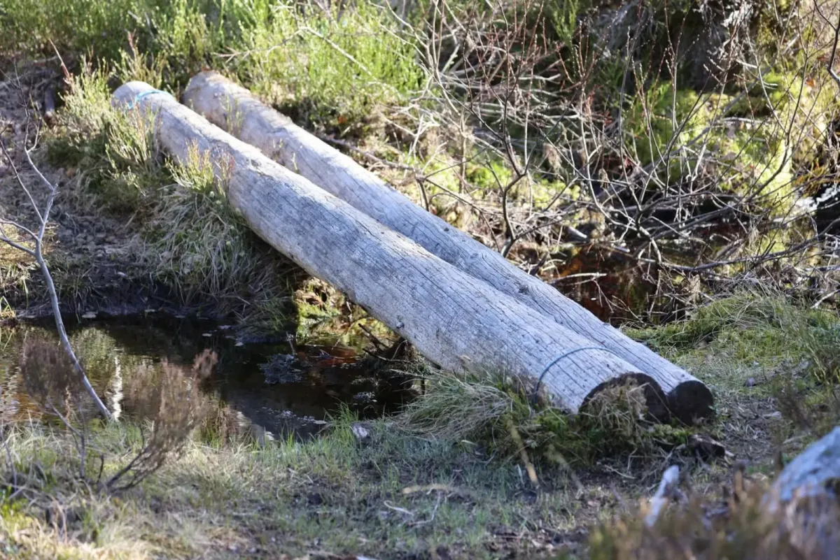
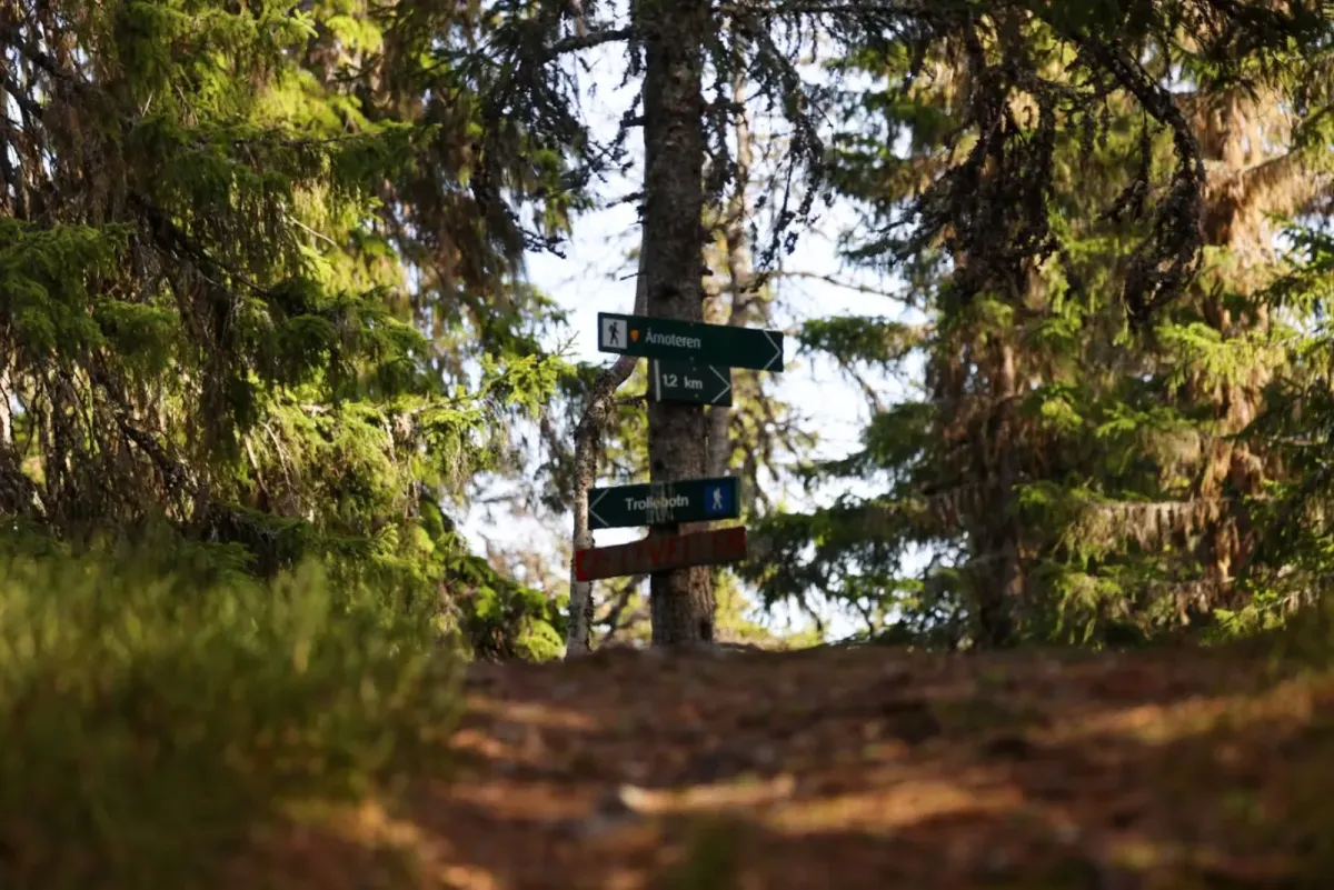
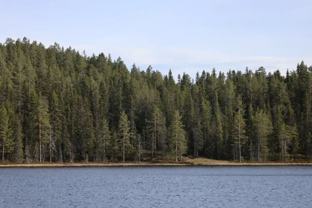
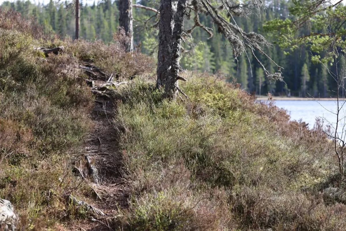
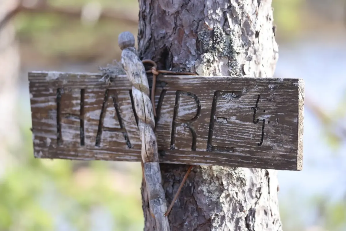
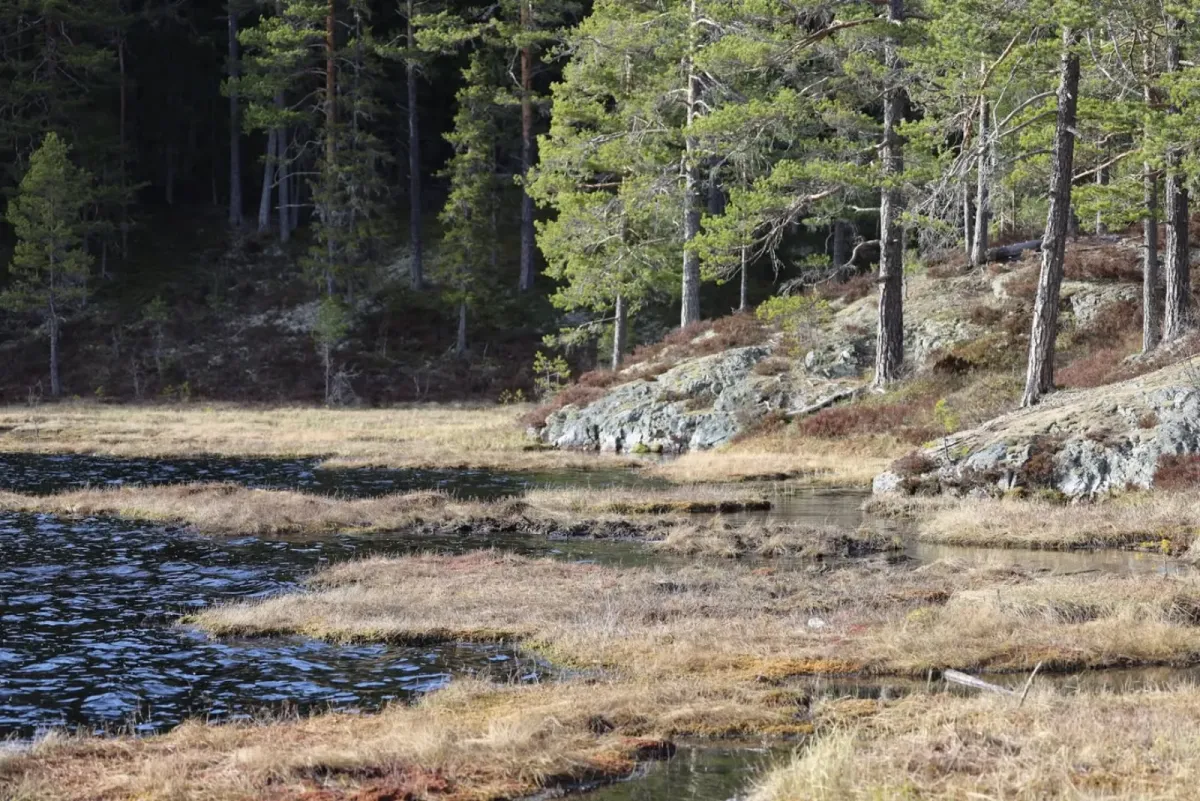
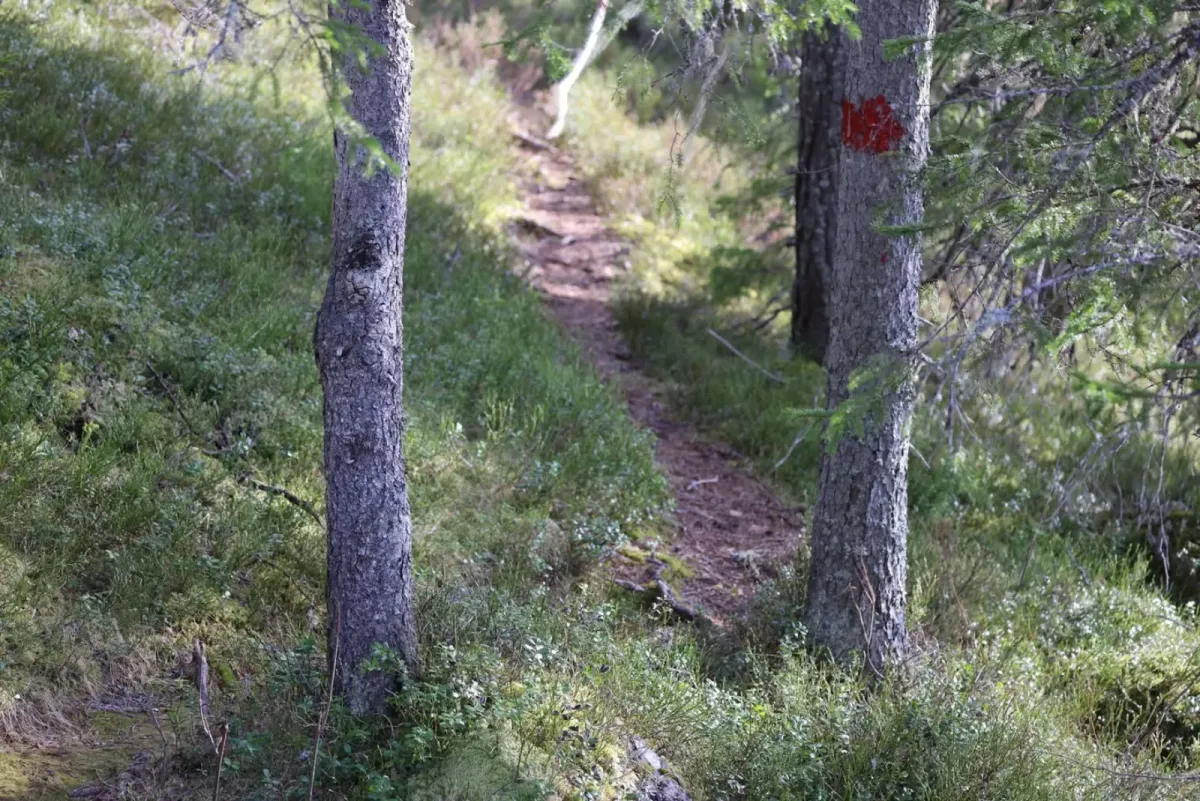
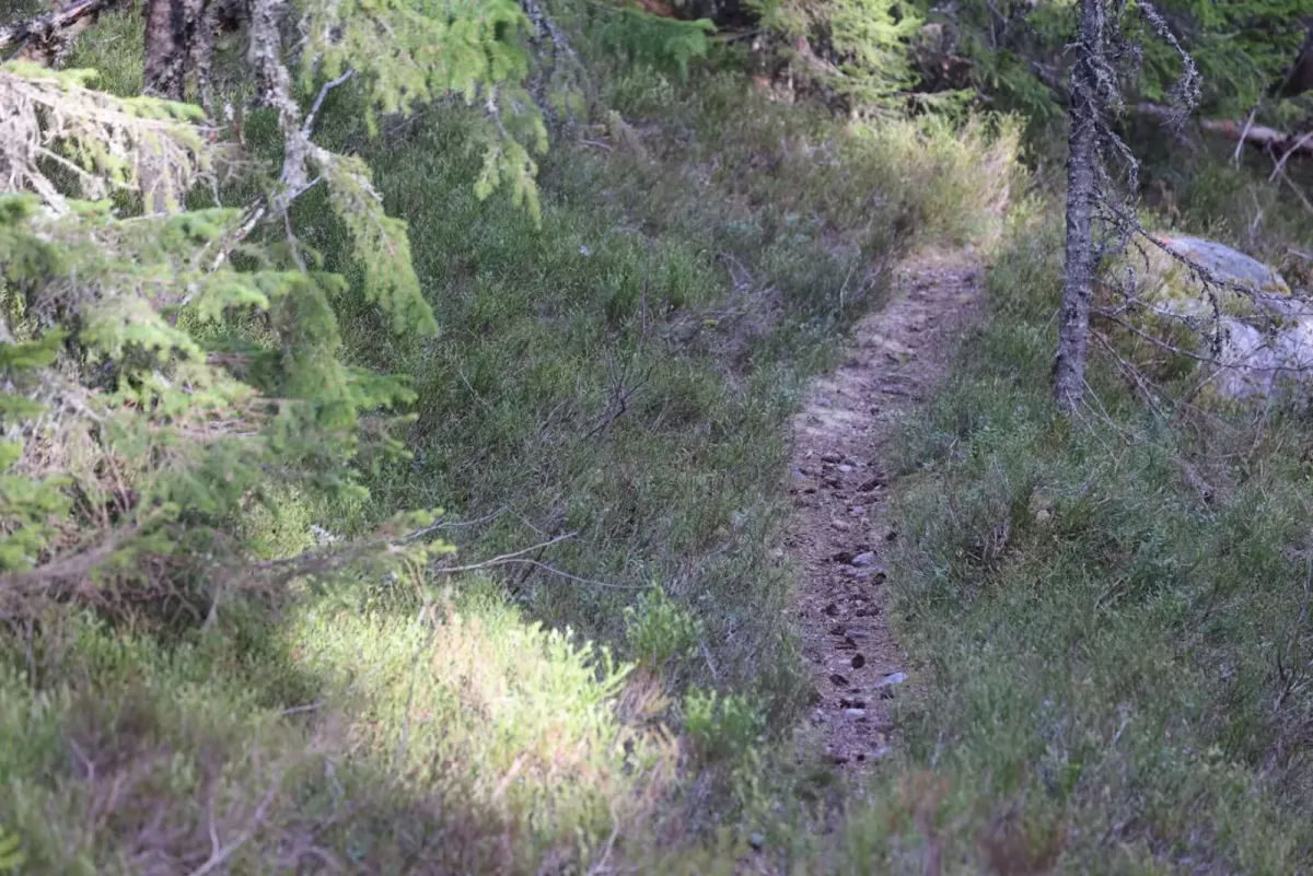
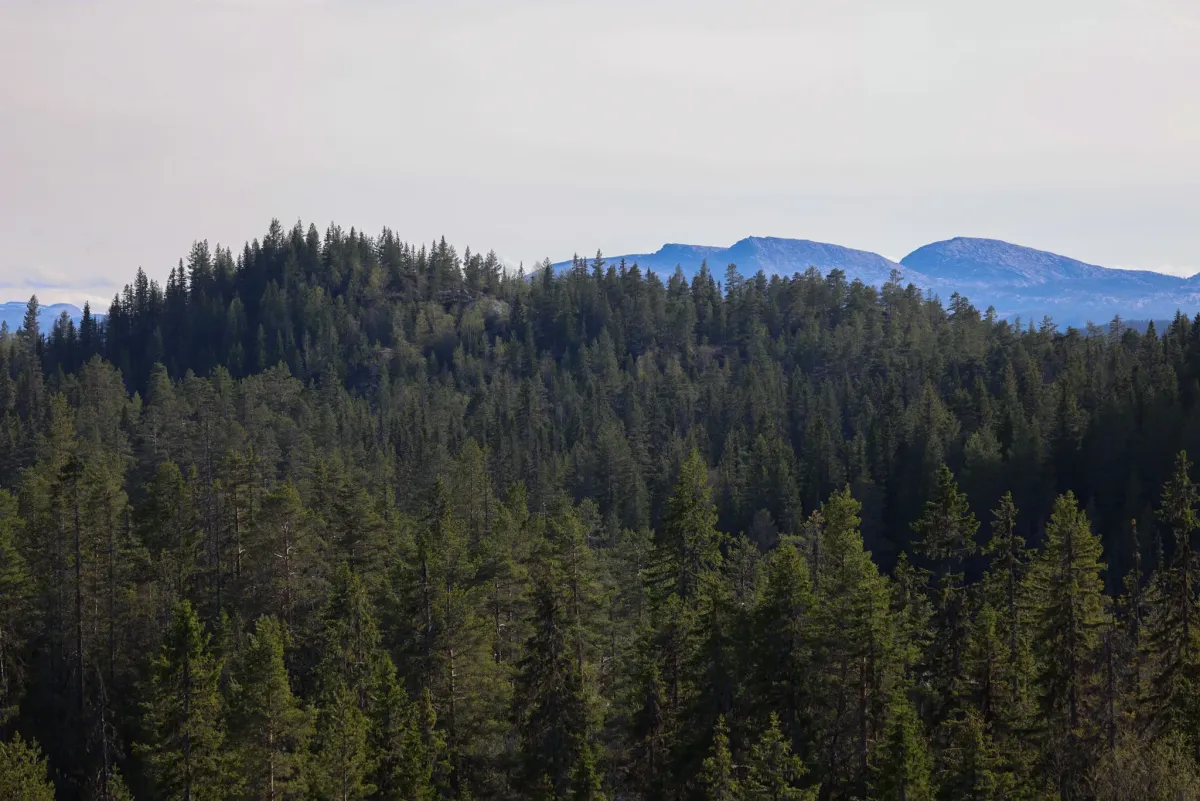
Havretjønn and Kroktjønn, on Seljordsheii, are fantastic local hiking destinations. Just 1.6 km from Raudkleiv and you're at Havretjønn. Easy to walk on good paths. There are a few bogs to negotiate, but it should be fine for most people. This is where the good feeling of wilderness starts, with silence and the scent of the forest. Nice spots along the lakes. If you continue on and round the lower part and follow the signs, the path will take you to Kroktjønn. A larger lake 3.5 km in. This is a beautiful spot with views through the forest towards Brokefjell and Skorve. You can also see a glimpse of Lifjell between spruce and pine trees. If you're lucky, you'll see a large bird chirping or hear the roar of a moose at the edge of the forest. Inside Kroktjønn you'll find Alovshelleren - a rock overhang to sit under. I can only imagine how many people have sat here over the years. The lakes are located at around 550 meters above sea level. If you want to go further, take this trail all the way to Trollbotn via Øvsttveiten. This hike is 7.5 km long and takes around 2 hours. You don't have to go far to experience this beautiful area. Not high either
Photos (15)
1 / 15


User photos (1)
Practical info
- Direction
- tur-retur
- Season
- Summer
- Trail quality
- 3/5
- Solitude
- 3/5
Got any good trail tips?
Seljord
Telemark
fintur.no
Telemark
fintur.no