Langfjellhallin
 T
T
Fee
The road or car park has a fee. Bring small change. Some take cards and Vipps.
Weather forecast
Hentar vêrdata…
Kjelde: Yr.no (Meteorologisk institutt)
Map and route
S Start
M Finish
▲ Highest point
▼ Lowest point
km Main route
↕ m Elevation
About this hike
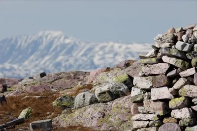
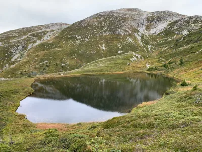
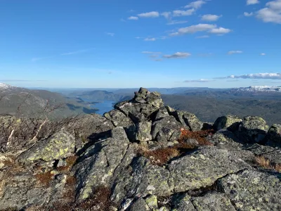
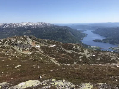
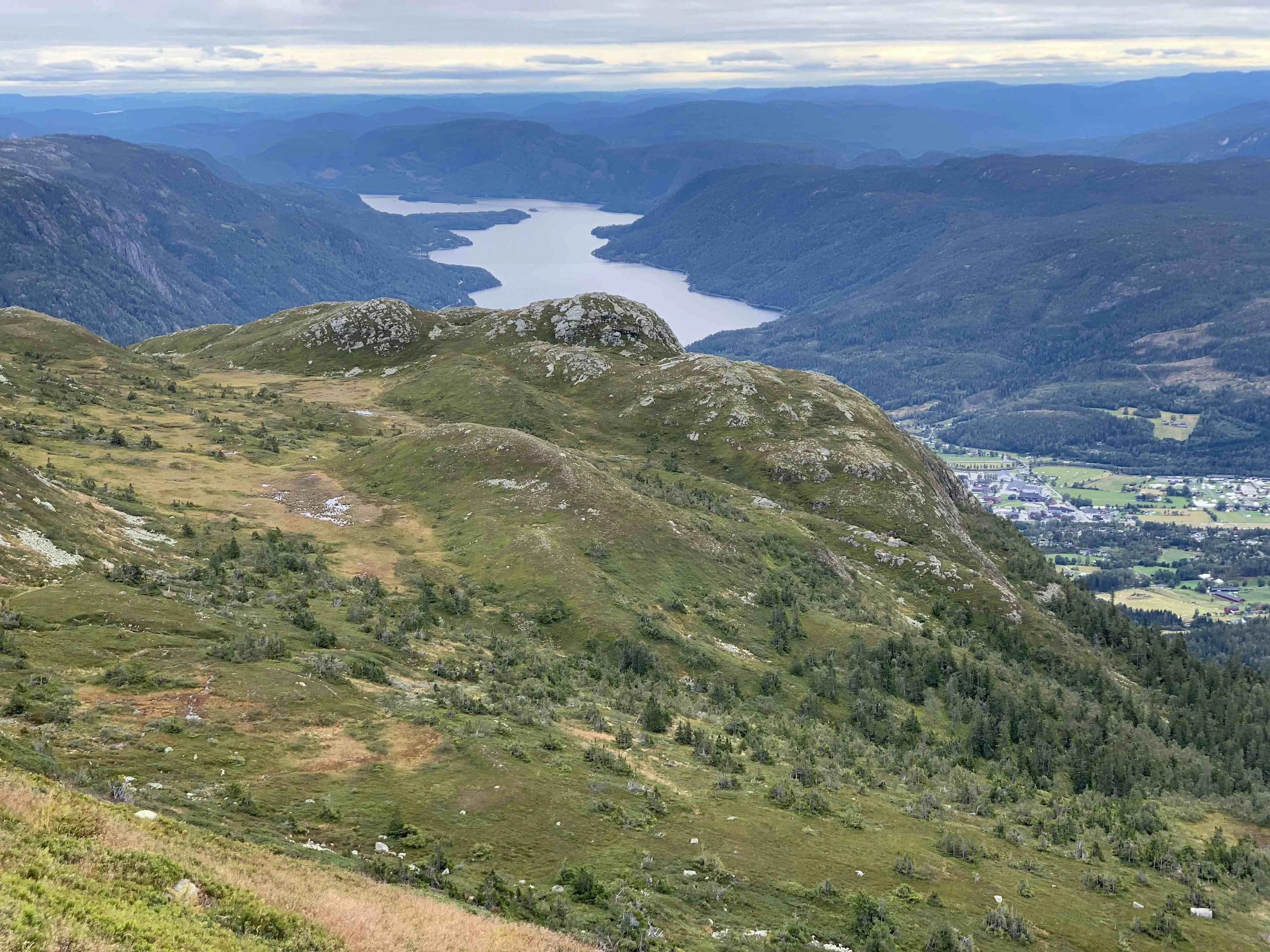
Langfjellhallin is a majestic mountain ridge in the Skorve massif, and a perfect hike for those who want to experience peak after peak, with open views, exciting terrain and high mountain feel. Here you can hike from peak to peak, across large parts of the Skorve plateau, and experience some of the most magnificent scenery Seljord has to offer.
Hiking route and alternatives:
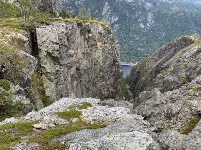
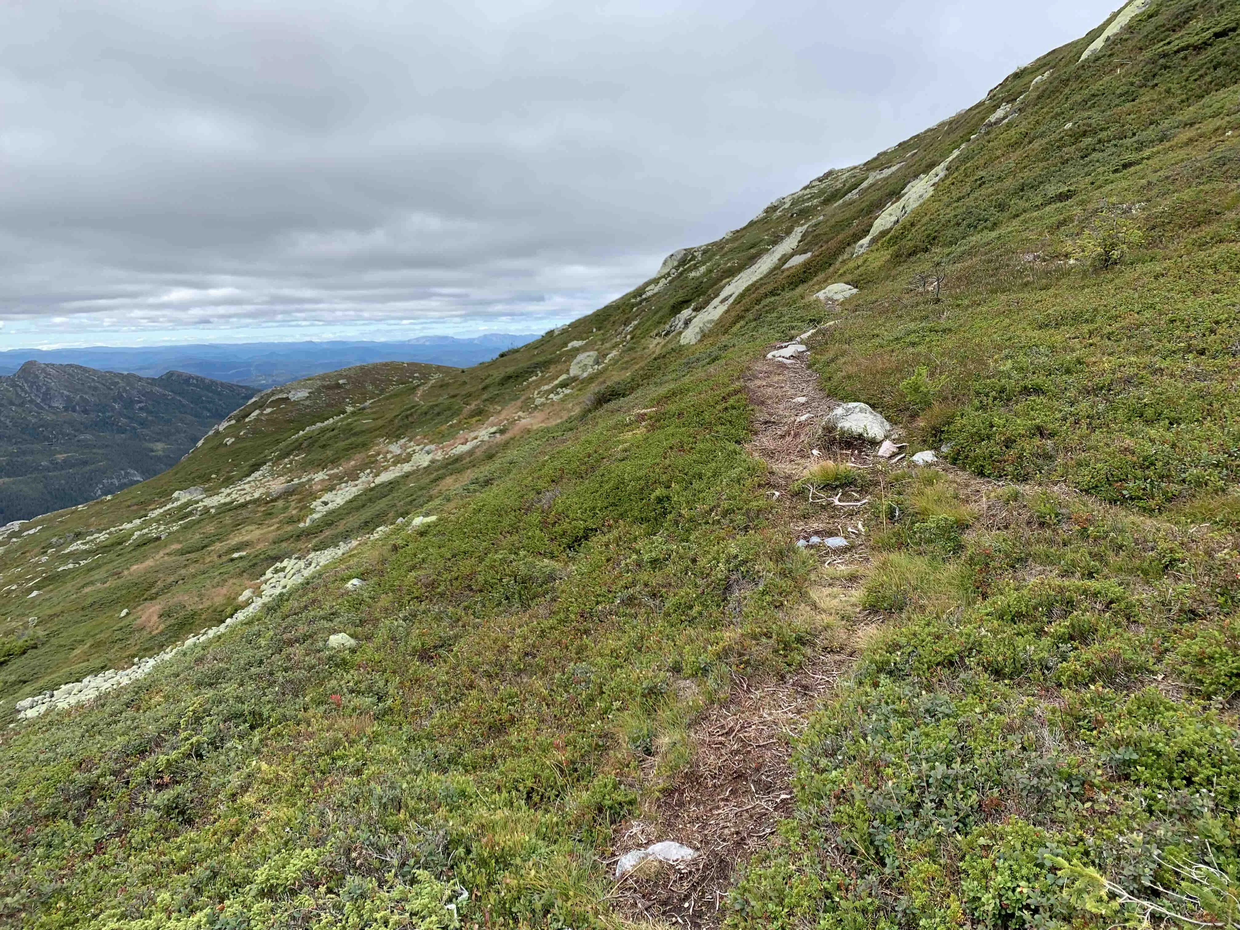
The hike starts from the path that leads towards the airplane wreck, a well-known hiking destination on Skorve. At the crossroads towards Gøysen, turn right and continue up the hillside in what is called Langfjellhallin. This is where the climb begins in earnest, and you'll soon find yourself in open and rugged mountain terrain.
You can walk from Langfjellhallin:
- Towards Nordnibba (1365 m above sea level), which has an airy and beautiful view to the north and east.
- Further around and up to Skorvetoppen (1369 m), the highest point in the Skorva massif
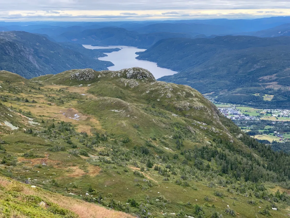
- Alternatively, you can take a round trip and go down via Finnalen - a distinctive dip in the mountain that leads you down towards Høna and further back
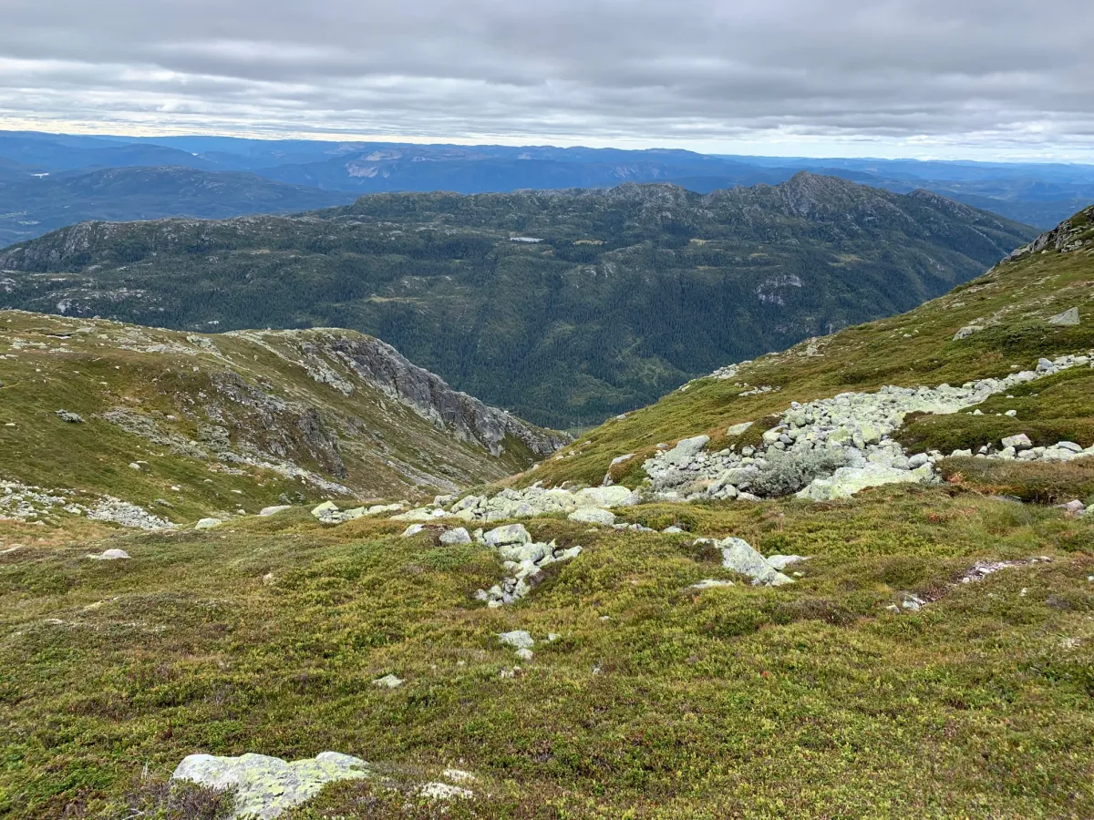
This area is well suited to both day hikes and long mountain walks, and offers a great deal of variety: steep bends, elongated ridges, rocky sections and quiet moorland.
Facts about the hike:
- Length: 10-14 km round trip (varies with route choice)
- Highest point: Skorvetoppen 1369 m above sea level
- Ascent: Approximately 800-1000 meters above sea level
- Level: Demanding - for mountain hikers with good fitness
- Substrates: Paths, rocks and open mountain terrain.
Hiking tips:
- Be careful in fog or bad weather - it is open and can be difficult to orientate yourself
- Wear good hiking boots - there are lots of rocks and uneven surfaces
- Remember to allow time for breaks - the views from the huts are spectacular
- You can also spend the night in a tent on the plateau for a true high mountain experience
Hiking route and alternatives:
The hike starts from the path that leads towards the airplane wreck, a well-known hiking destination on Skorve. At the crossroads towards Gøysen, turn right and continue up the hillside in what is called Langfjellhallin. This is where the climb begins in earnest, and you'll soon find yourself in open and rugged mountain terrain.
You can walk from Langfjellhallin:
- Towards Nordnibba (1365 m above sea level), which has an airy and beautiful view to the north and east.
- Further around and up to Skorvetoppen (1369 m), the highest point in the Skorva massif
- Alternatively, you can take a round trip and go down via Finnalen - a distinctive dip in the mountain that leads you down towards Høna and further back
This area is well suited to both day hikes and long mountain walks, and offers a great deal of variety: steep bends, elongated ridges, rocky sections and quiet moorland.
Facts about the hike:
- Length: 10-14 km round trip (varies with route choice)
- Highest point: Skorvetoppen 1369 m above sea level
- Ascent: Approximately 800-1000 meters above sea level
- Level: Demanding - for mountain hikers with good fitness
- Substrates: Paths, rocks and open mountain terrain.
Hiking tips:
- Be careful in fog or bad weather - it is open and can be difficult to orientate yourself
- Wear good hiking boots - there are lots of rocks and uneven surfaces
- Remember to allow time for breaks - the views from the huts are spectacular
- You can also spend the night in a tent on the plateau for a true high mountain experience
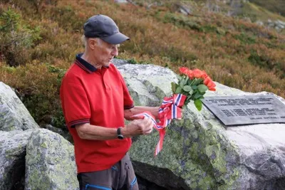
Photos (3)
1 / 3

User photos (2)
1 / 2
Practical info
- Direction
- tur-retur
- Season
- Summer
- Trail quality
- 1/5
- Solitude
- 5/5
Got any good trail tips?
Seljord
Telemark
fintur.no
Telemark
fintur.no