Måni

Weather forecast
Hentar vêrdata…
Kjelde: Yr.no (Meteorologisk institutt)
Map and route
S Start
M Finish
▲ Highest point
▼ Lowest point
km Main route
↕ m Elevation
About this hike
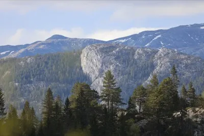
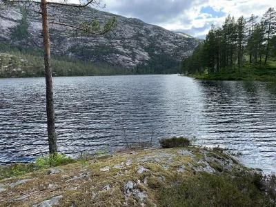
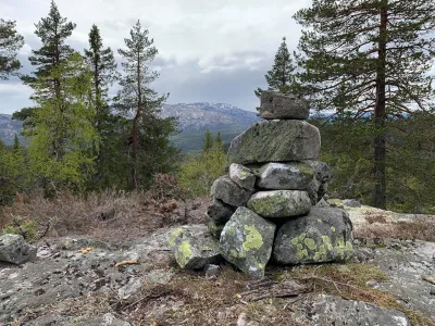
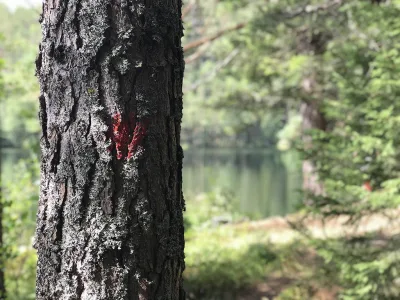
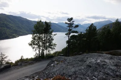
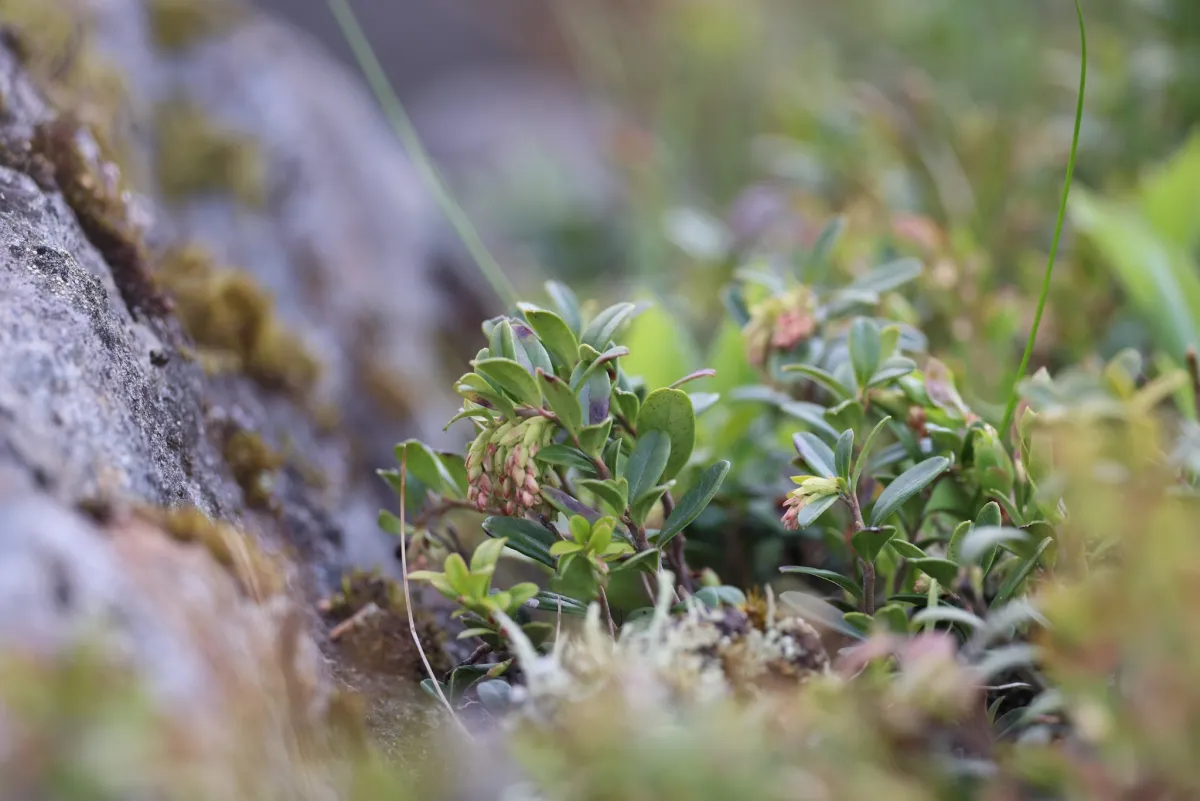
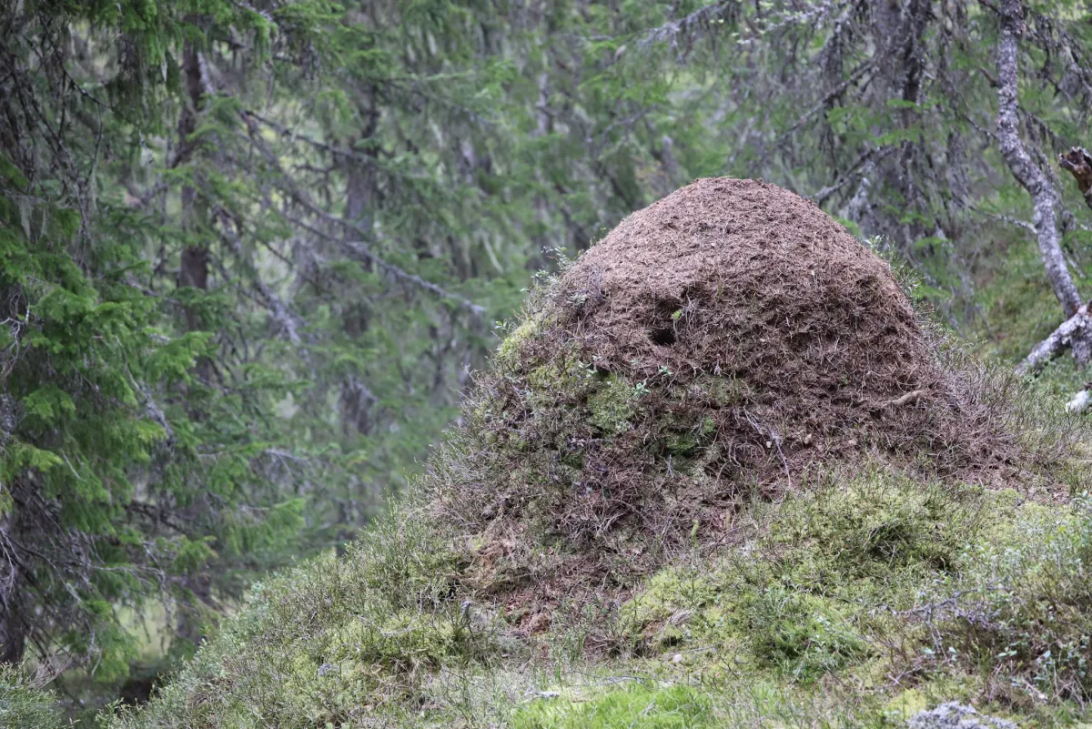
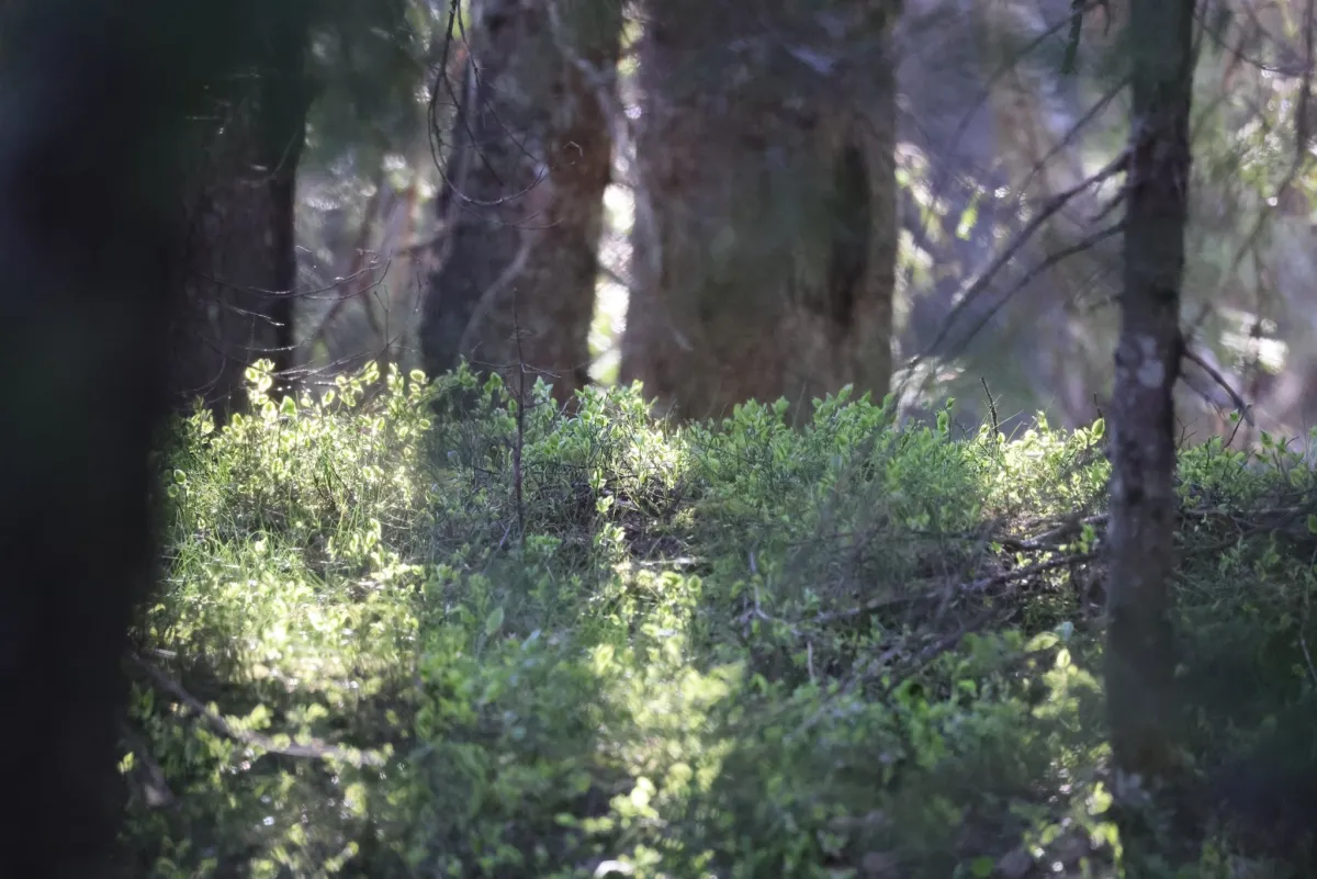
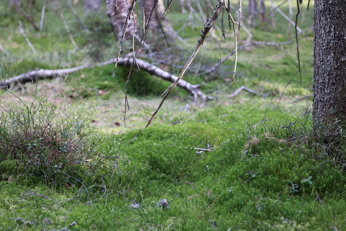
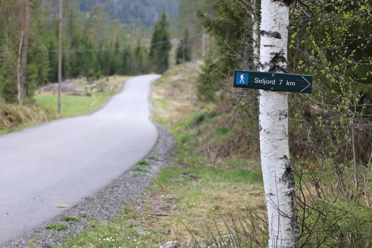
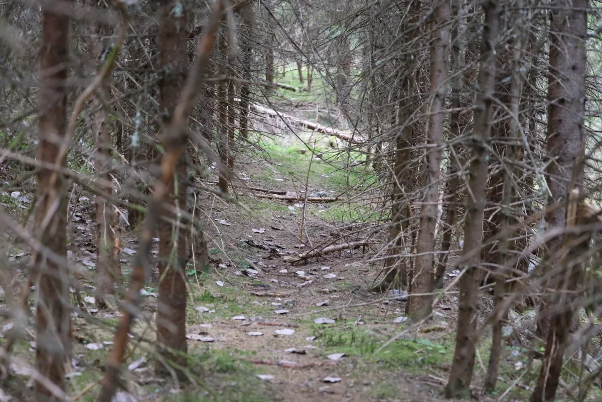
Måni (Grønlimåni) on Seljordheii is steep and rough if you go up via Bekkjevasen. Not much in the way of moorland terrain there, no. Steep hills, mountains and valleys everywhere. For the most part. It's a good thing you love such old, overgrown nature. Very fun to walk in. Old fallen trees, mosses and bogs. There's a lot of life in here. And sometimes you see them. The roar of a moose that stood up and showed me its rear end was a fun experience. A lot of sound just those movements there. Mani itself is not as impressive as the 635 meters above sea level. But, as a centerpiece in the forest, it is absolutely perfect. Slightly above the treetops below. It's fun to see other hiking destinations from new angles. Bjørgenuten looks quite different from here. And Telnessanden looks very long. The hike up here is perhaps easier from Øverland. From Heivegen it's a 5 km round trip with 370 meters of ascent. 2-3 hours.
Photos (7)
1 / 7

Practical info
- Direction
- tur-retur
- Season
- Summer
- Trail quality
- 2/5
- Solitude
- 6/5
Got any good trail tips?
Seljord
Telemark
fintur.no
Telemark
fintur.no