Roholtfjellet
 T
T
Weather forecast
Hentar vêrdata…
Kjelde: Yr.no (Meteorologisk institutt)
Map and route
S Start
M Finish
▲ Highest point
▼ Lowest point
km Main route
km Alternativ rute
↕ m Elevation
About this hike
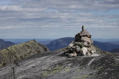
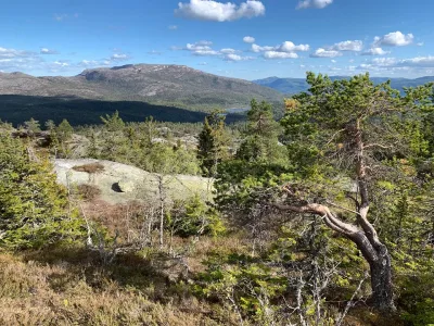
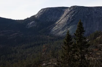
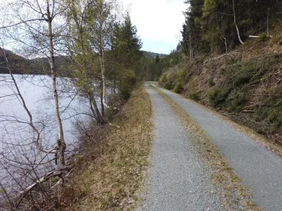
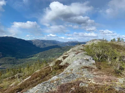
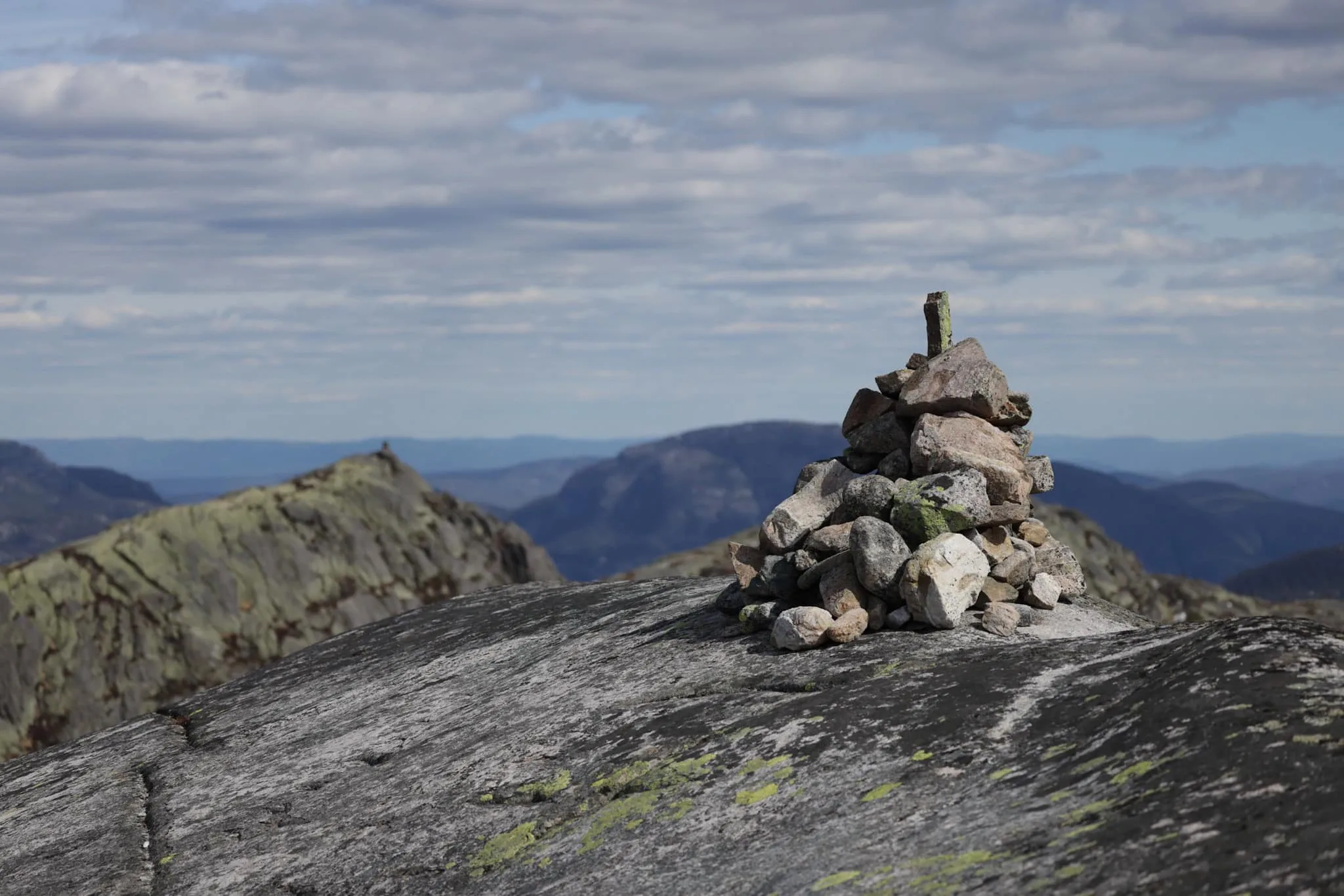
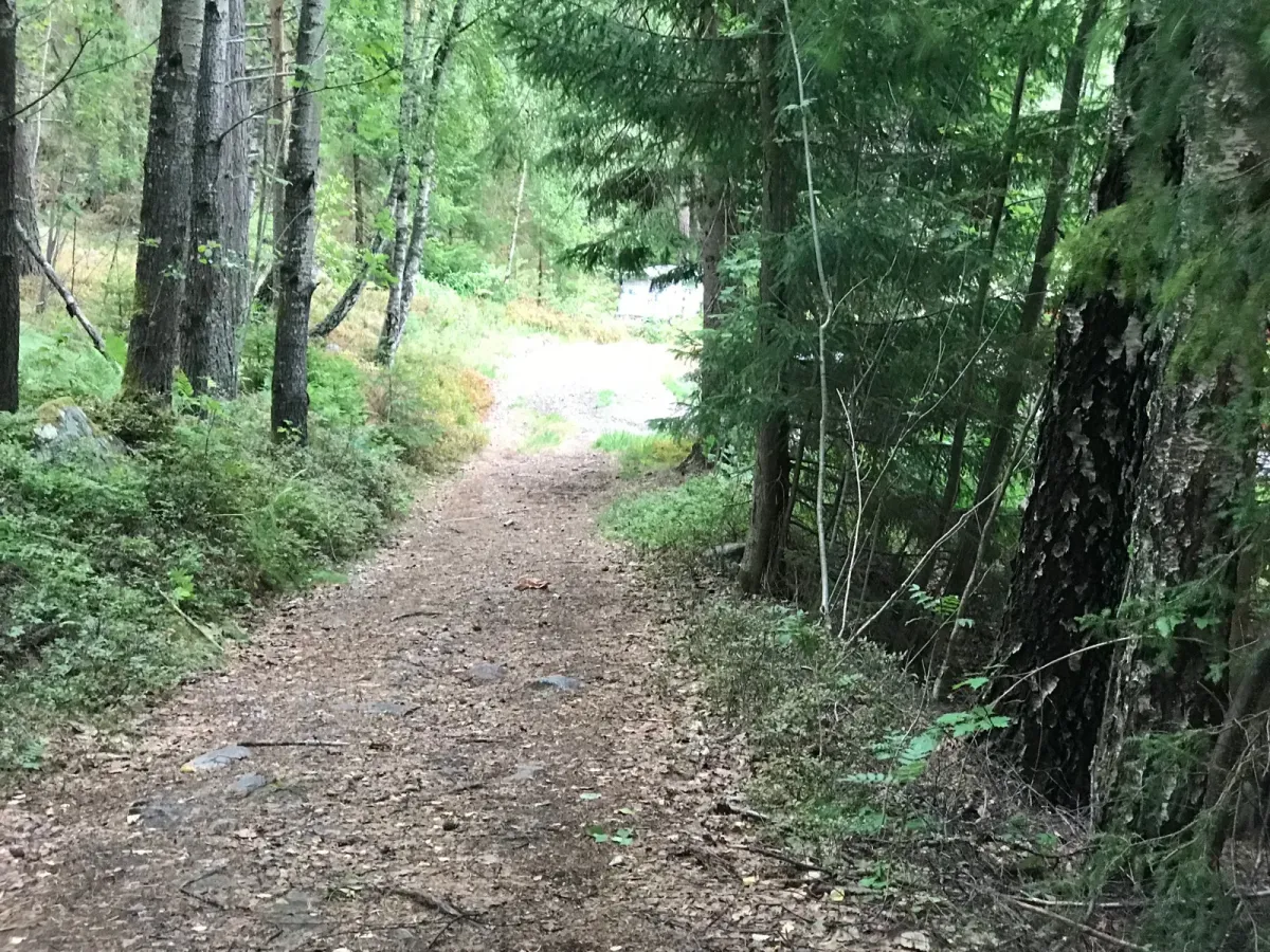
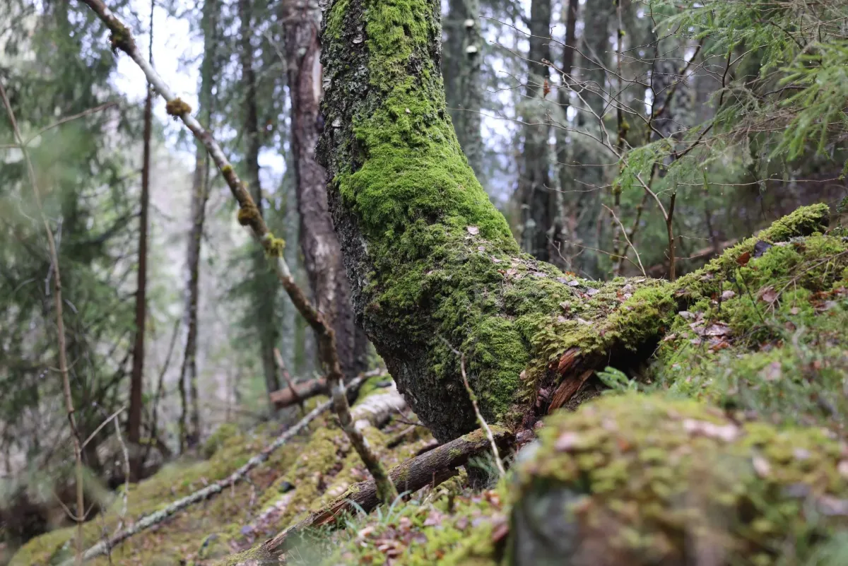
Roholtfjellet (1005 m) in Vrådal is a gem. The hike started from the parking lot at the top of Vrådalskleivane; Heia. Wide paths and good markings make the hike easy to navigate at the start. You can get to the rock face, which only gets steeper and steeper if you choose to go straight to Austre Roholtfjell first. There's a bit of rope climbing up the last few meters. Then you can go to Vestre Roholtfjell (1017 m), a couple of km further away. You have to descend into a valley and then climb up again. I walked home, behind the mountains. Along Damtjønn and the rocks in front of it (Svæun, Såta, Kartefure and Presttjønn). Incredible, beautiful wilderness. Did not see a soul. The trip was almost 2 miles with over 1000 meters of altitude, so it sits well in the legs. Fun to see what others have.
Photos (3)
1 / 3
Practical info
- Direction
- tur-retur
- Season
- Summer
- Trail quality
- 3/5
- Solitude
- 5/5
Got any good trail tips?
Vrådal
Telemark
fintur.no
Telemark
fintur.no