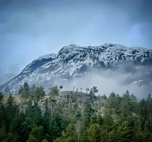
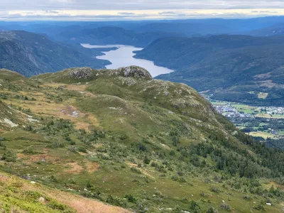
Såvestaulnuten
Weather forecast
Hentar vêrdata…
Kjelde: Yr.no (Meteorologisk institutt)
Map and route
S Start
M Finish
▲ Highest point
▼ Lowest point
km Main route
↕ m Elevation
About this hike
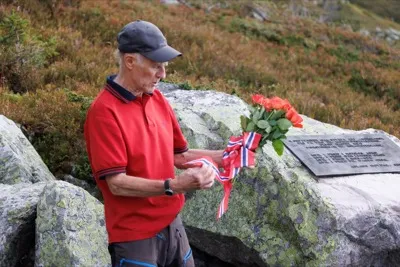
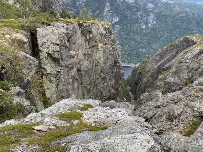
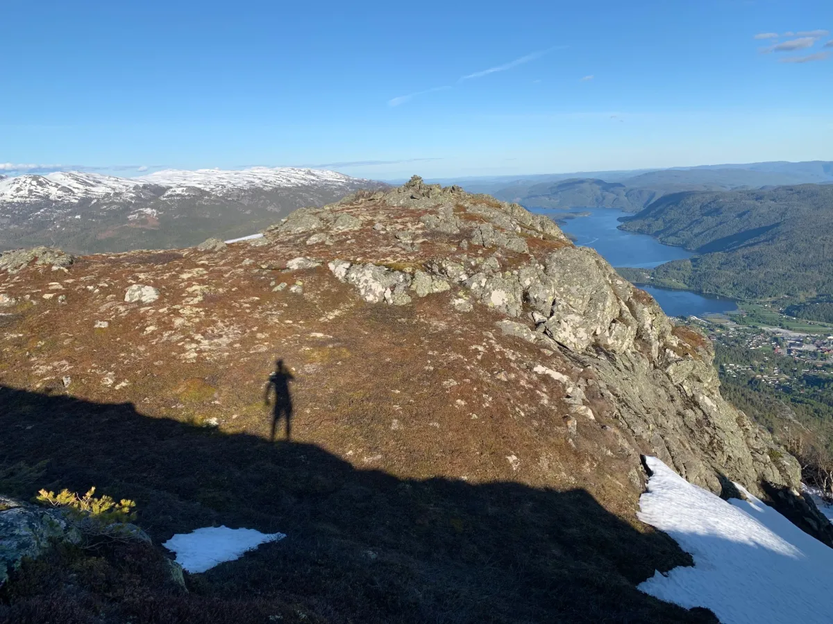
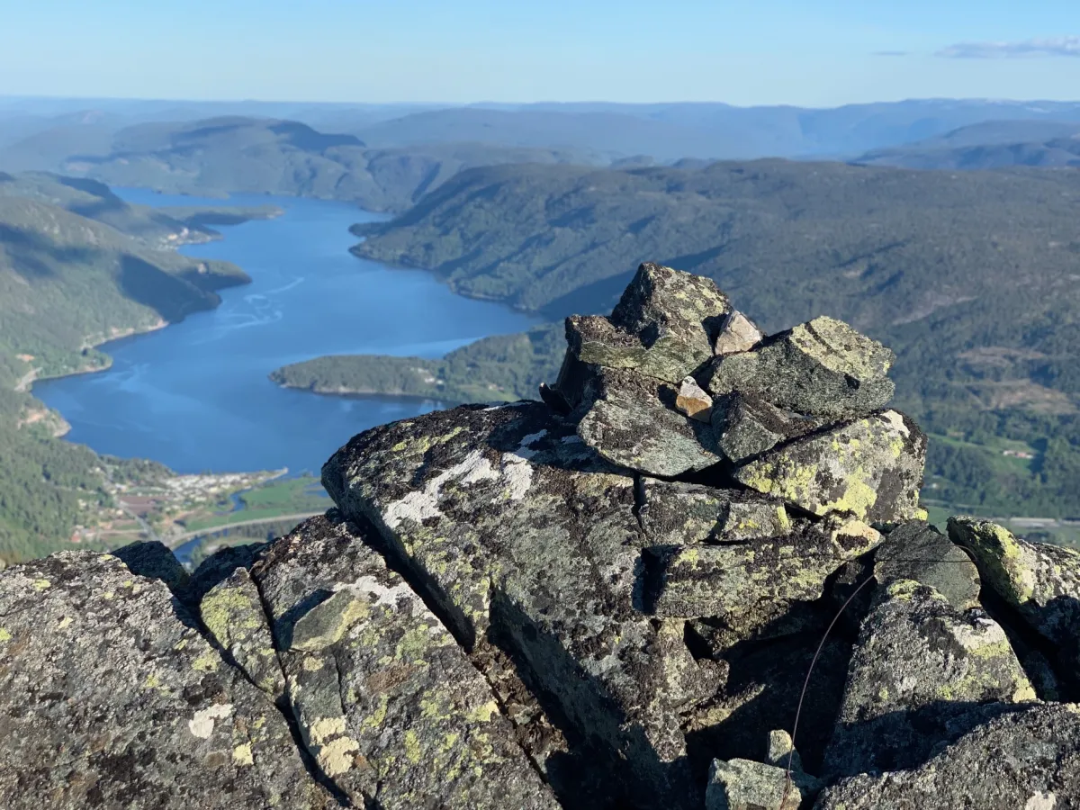
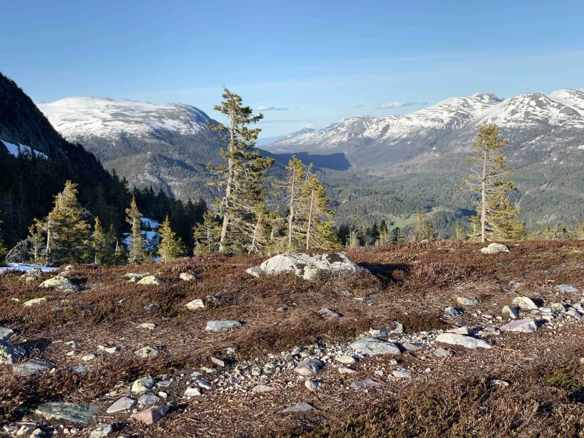
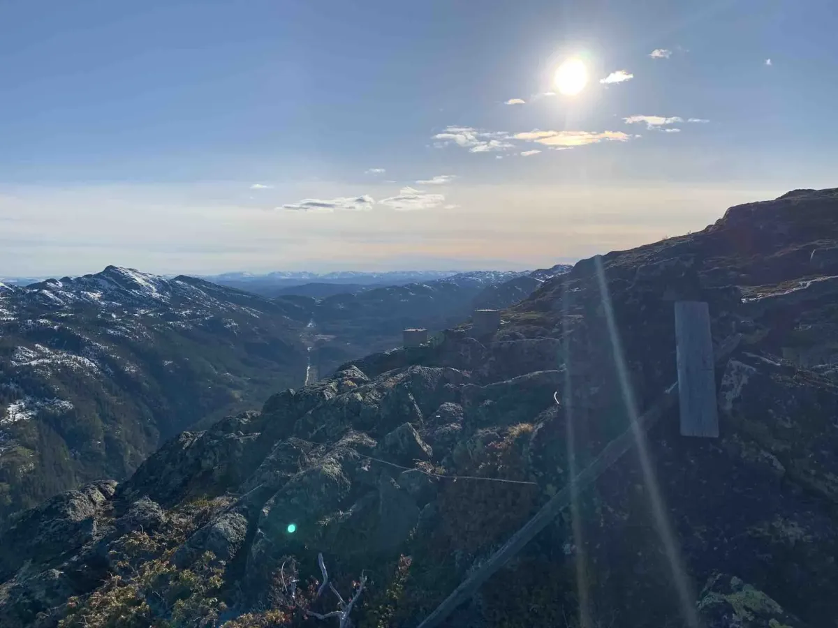
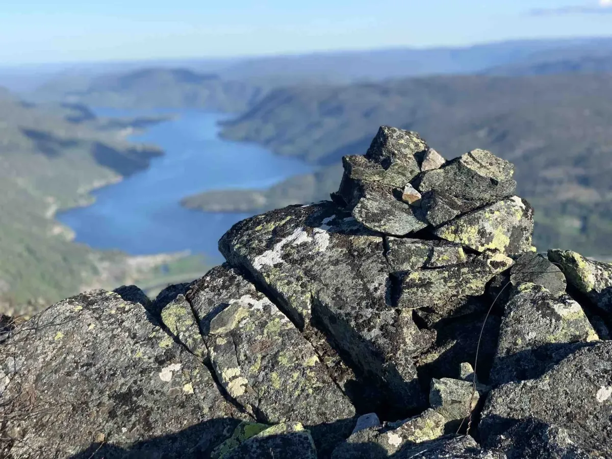
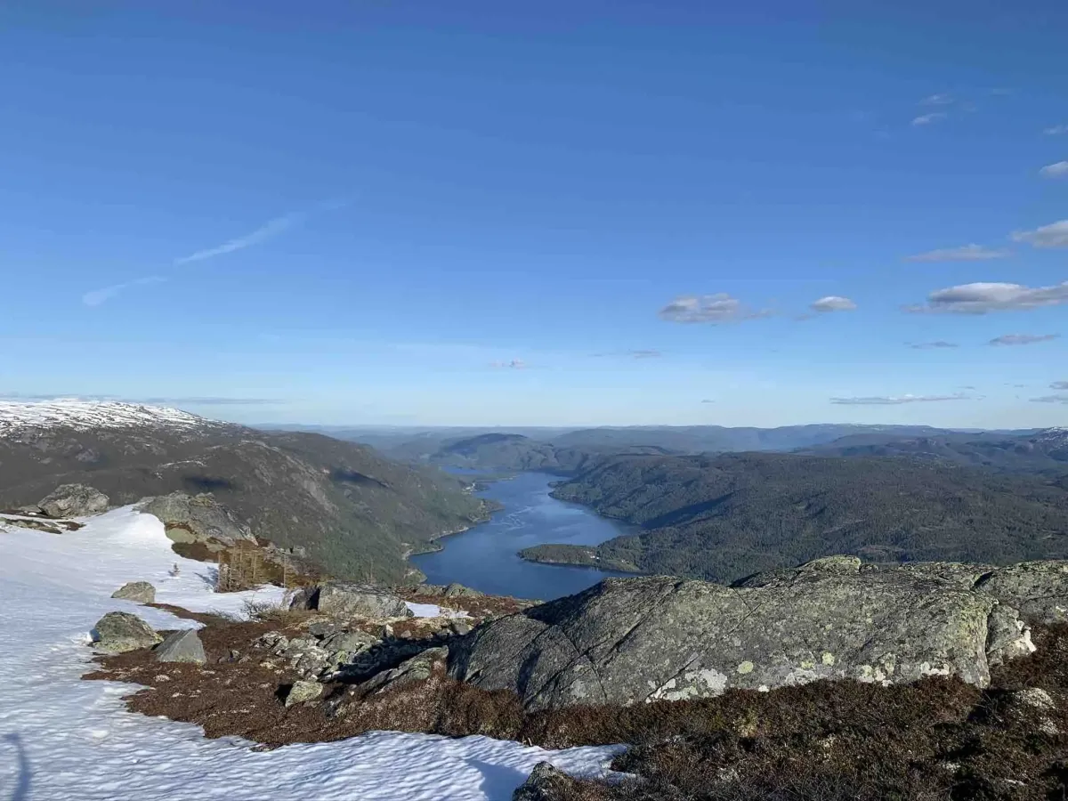
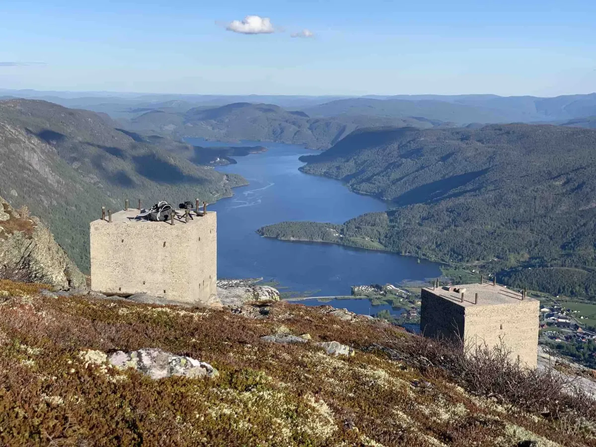
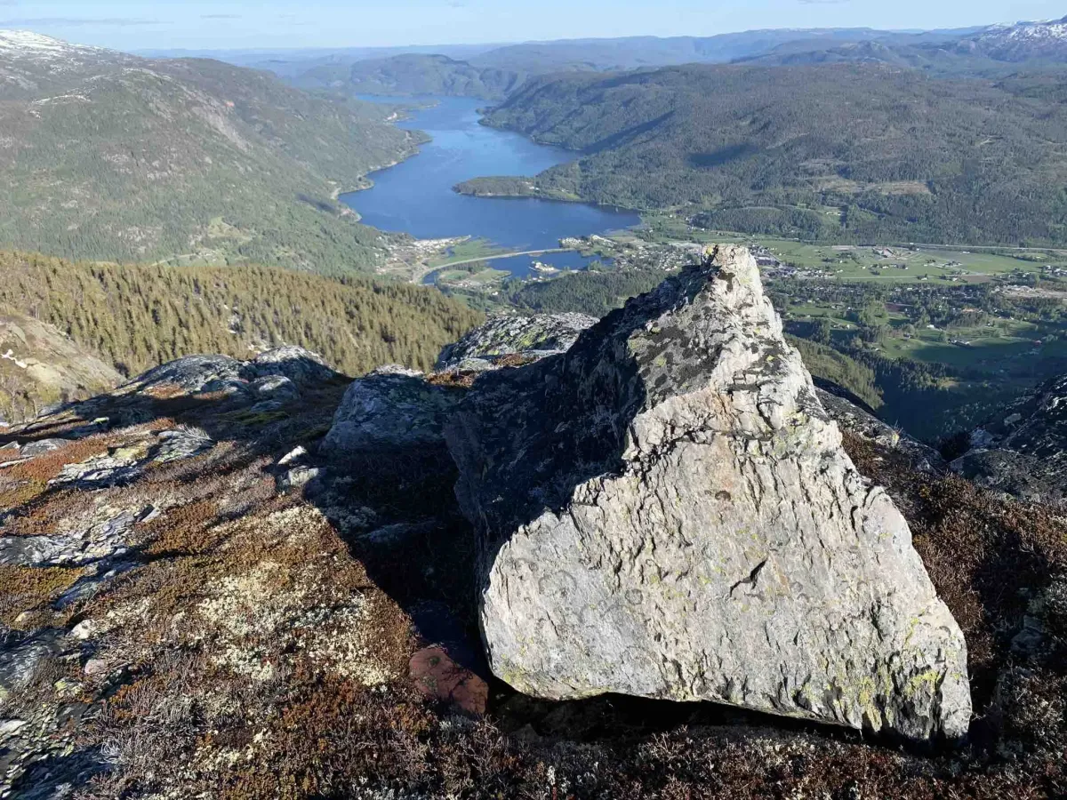
Skorve is more than just Gøysen and Nordnibba. The groove on the edge is probably best known for the town where the transmitter stood. It's now gone, but the view from here is phenomenal. Almost better than from the top, many would say. To get here, take the same route from the parking lot at Haugan. Past Karlstaul and Listaul towards the junction. Then follow the path up to the plane wreckage for a while. The grooves are then on the right hand side. Over 1000 meters on both sides. And now it's quite bare. It's a bit twisty, but give it a couple of days to warm up and you'll be ready if you want to go dry-shod. Have a good trip!
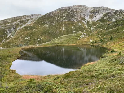
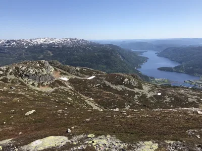
Photos (3)
1 / 3
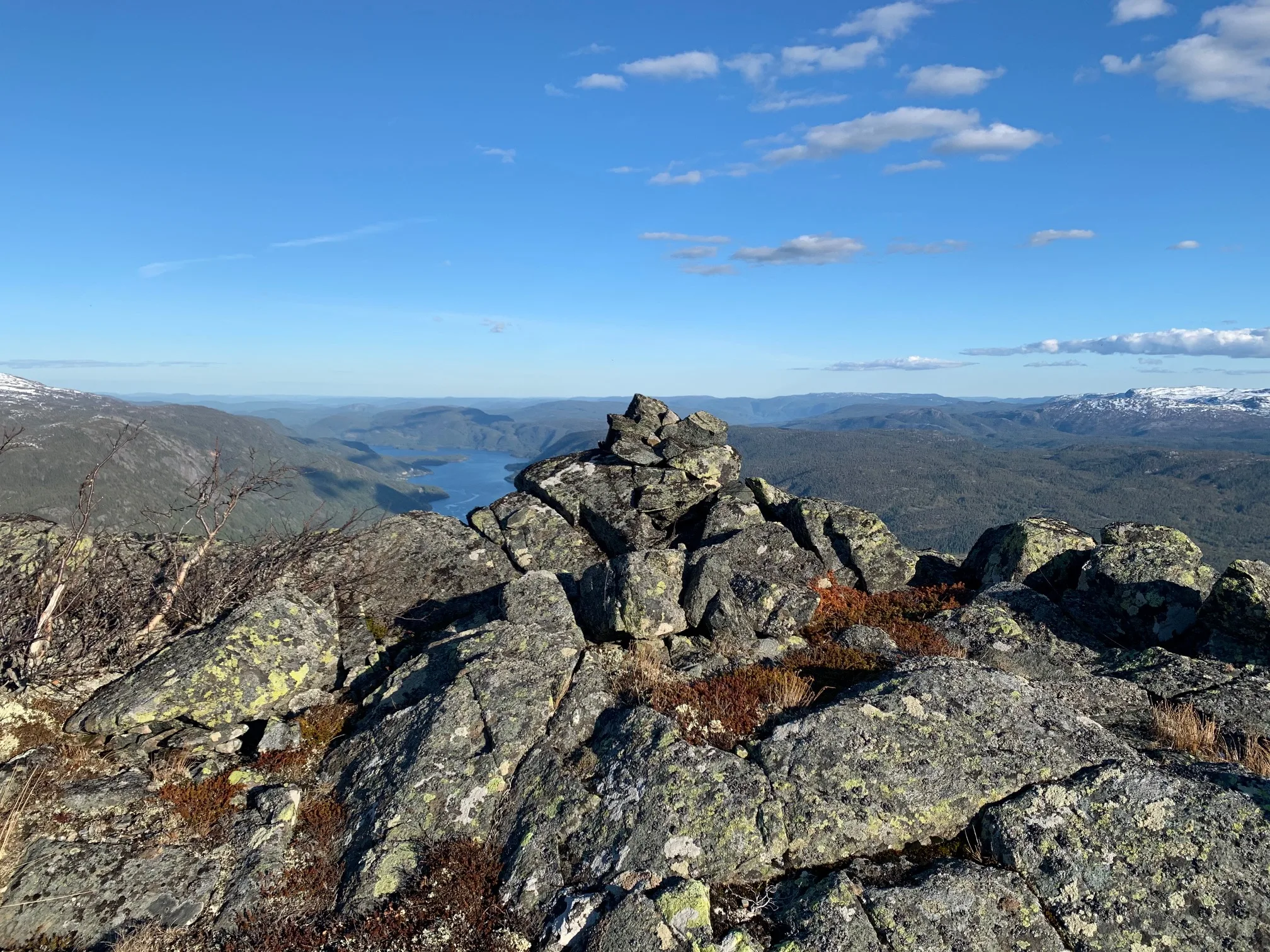
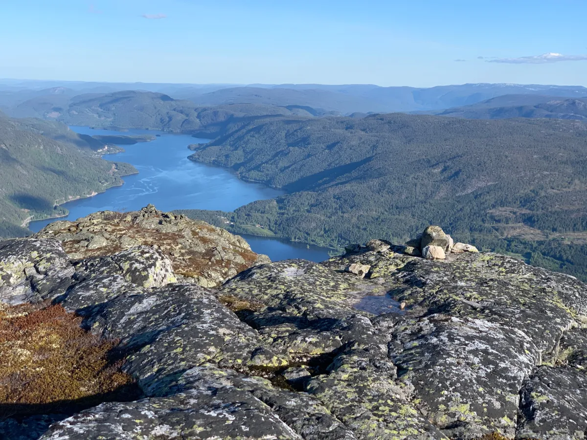
User photos (6)
1 / 6
Practical info
- Direction
- tur-retur
- Season
- Summer
- Trail quality
- 3/5
- Solitude
- 5/5
Got any good trail tips?
Seljord
Telemark
fintur.no
Telemark
fintur.no