Sinuberg
Weather forecast
Hentar vêrdata…
Kjelde: Yr.no (Meteorologisk institutt)
Map and route
S Start
M Finish
▲ Highest point
▼ Lowest point
km Main route
km Alternativ rute
↕ m Elevation
About this hike
Sinuberg - a steep hike in Kivledalen
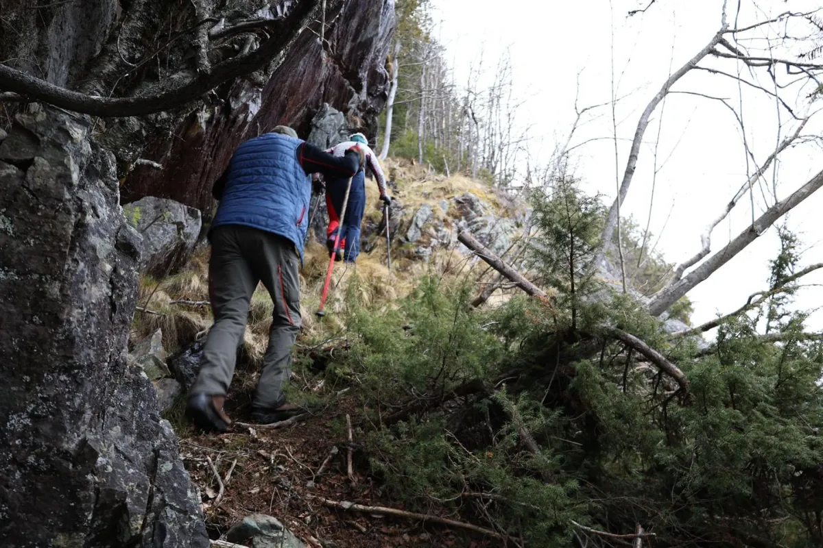
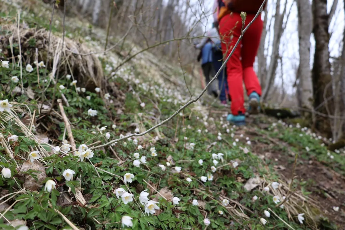
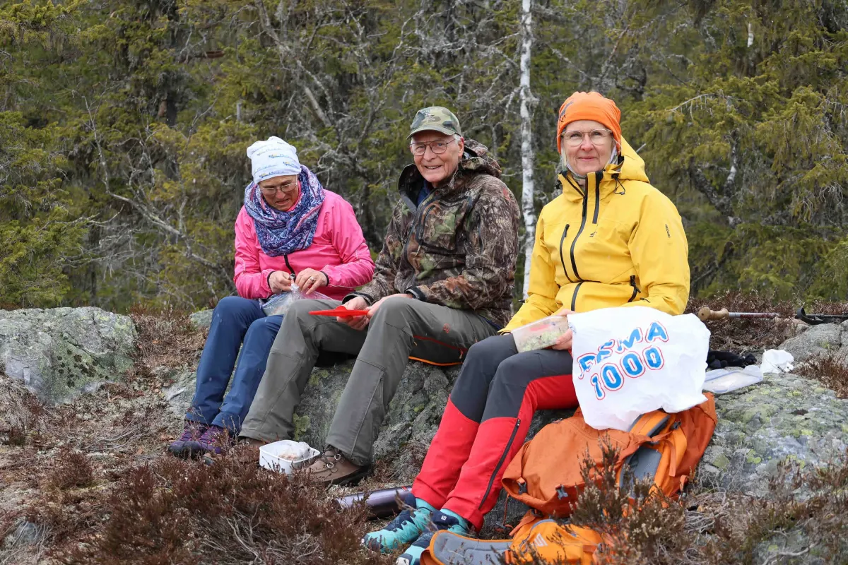
With the help of local mountain goats - Olav, Sigrunn and Gunhild - I was able to experience an unusually beautiful and traditional trip to Sinuberg, up in the hills below Skorve.
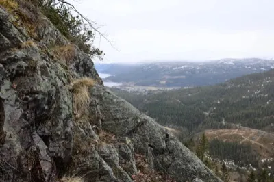
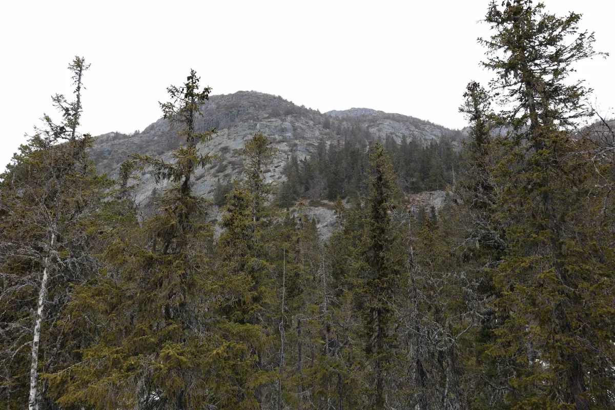
The hike starts from the road in Kivledalen, where several of the old roads have now been cleared and adapted. The route follows the path up to Langeberg, on to Nordigardsfjellet, and then towards Sinubergskøri. From here it climbs steeply up to Sinuberg, a plain below the mountain wall at Såvestaulnuten.
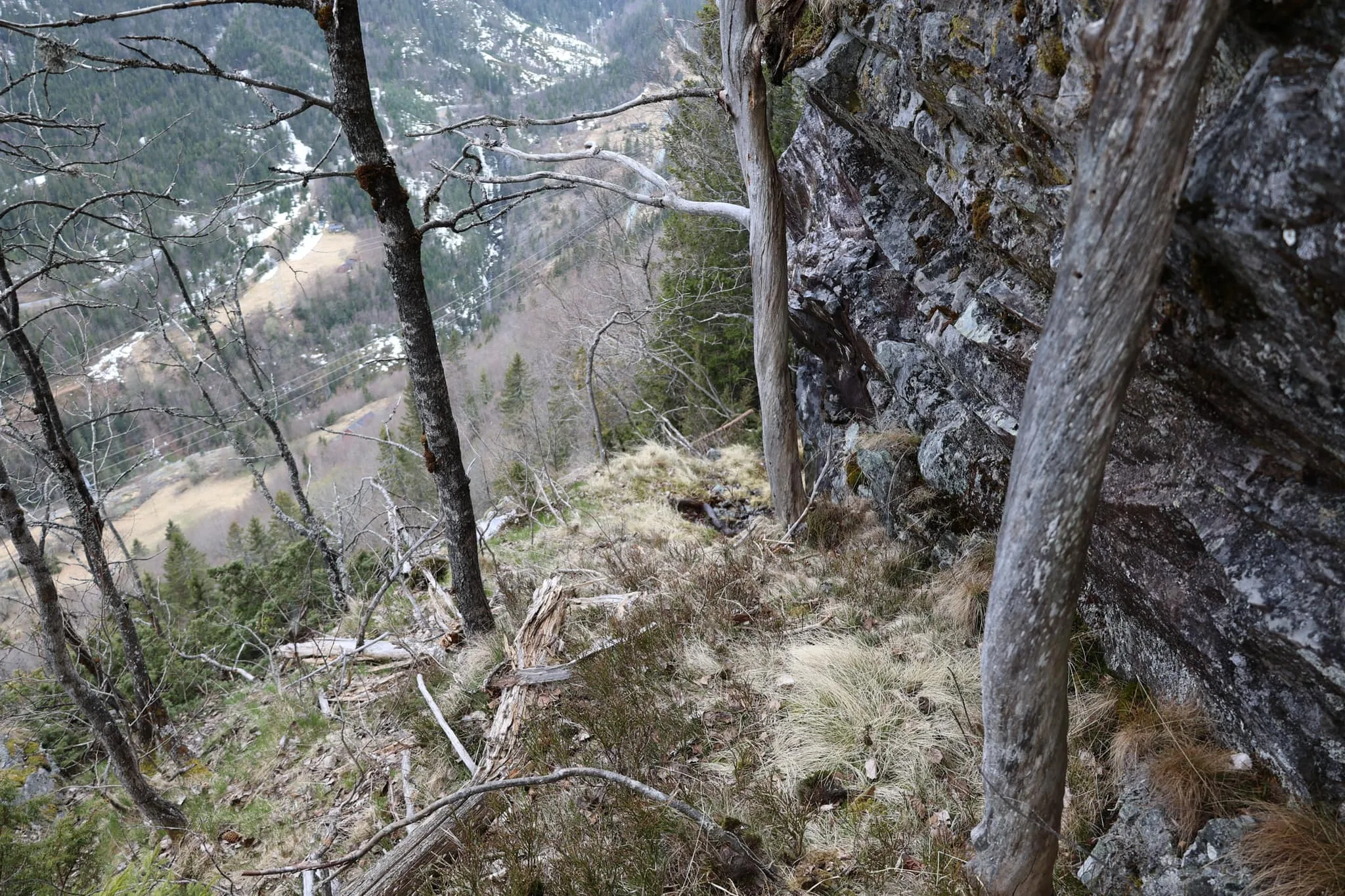
This is a hike of about 2 km, but with a climb of around 350 vertical meters. It's steep and difficult - not a hike for just anyone - but a powerful and genuine experience for those who accept the challenge.
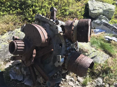
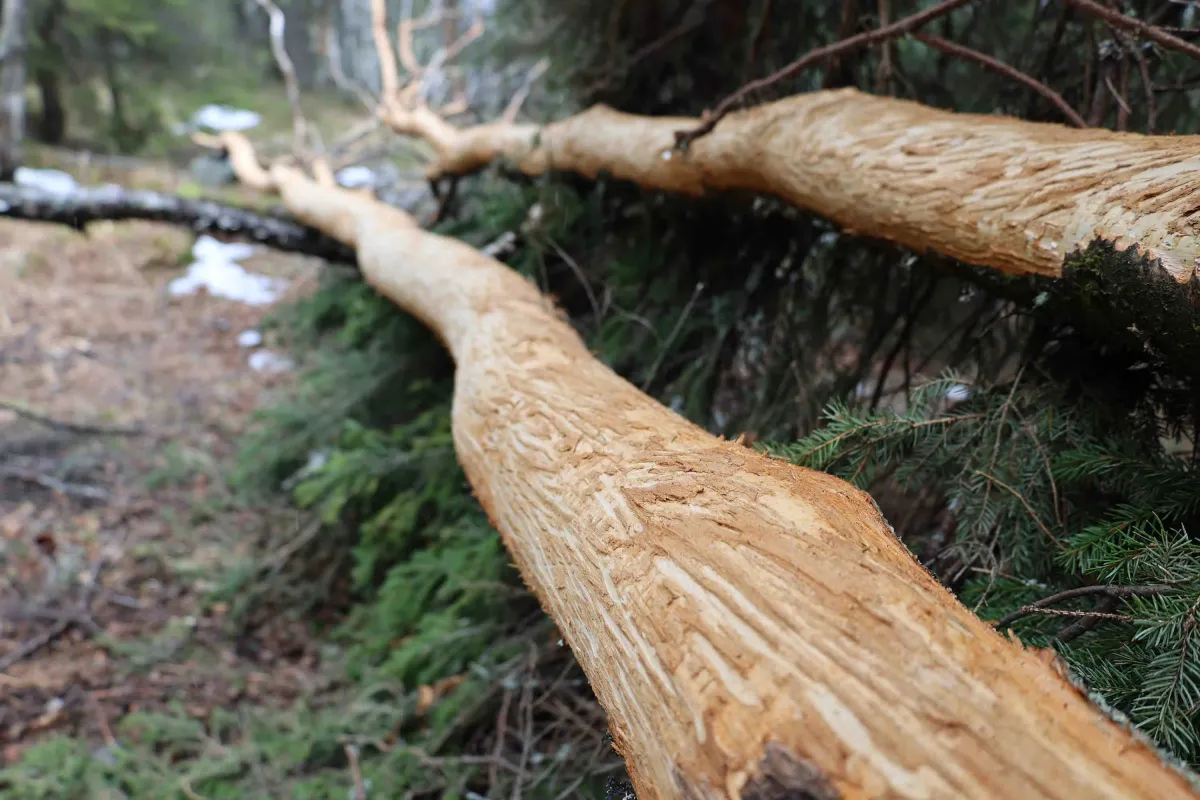
Along the way, you'll walk on old farm roads, used in earlier times to bring home hay from the hayfields high up in the hills. The tracks - the old steel ropes that carried the hay - are still there today, like silent witnesses from another time.
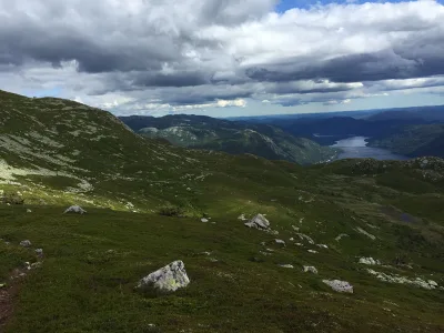
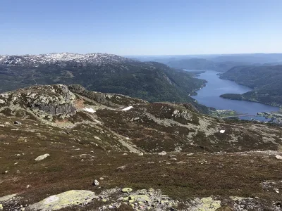
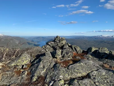
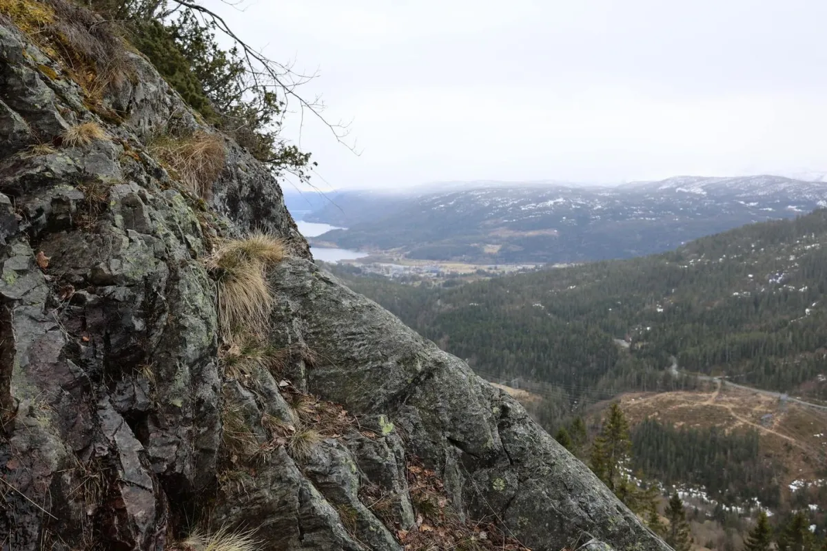
On the plain at Sinuberg you get great views down towards Kivledalen, over to Skuggefjell and on towards Tjønnstaul. This is a hiking gem with nature, history and local identity in every stone and path.
A big thank you to the group - and to Kivledalen for generous nature and generous people!
With the help of local mountain goats - Olav, Sigrunn and Gunhild - I was able to experience an unusually beautiful and traditional trip to Sinuberg, up in the hills below Skorve.
The hike starts from the road in Kivledalen, where several of the old roads have now been cleared and adapted. The route follows the path up to Langeberg, on to Nordigardsfjellet, and then towards Sinubergskøri. From here it climbs steeply up to Sinuberg, a plain below the mountain wall at Såvestaulnuten.
This is a hike of about 2 km, but with a climb of around 350 vertical meters. It's steep and difficult - not a hike for just anyone - but a powerful and genuine experience for those who accept the challenge.
Along the way, you'll walk on old farm roads, used in earlier times to bring home hay from the hayfields high up in the hills. The tracks - the old steel ropes that carried the hay - are still there today, like silent witnesses from another time.
On the plain at Sinuberg you get great views down towards Kivledalen, over to Skuggefjell and on towards Tjønnstaul. This is a hiking gem with nature, history and local identity in every stone and path.
A big thank you to the group - and to Kivledalen for generous nature and generous people!
Photos (3)
1 / 3
User photos (5)
1 / 5

Practical info
- Direction
- tur-retur
- Season
- Summer
- Trail quality
- 3/5
- Solitude
- 6/5
Got any good trail tips?
Seljord
Telemark
fintur.no
Telemark
fintur.no