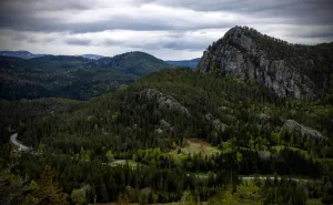
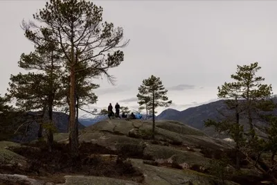
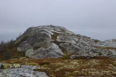
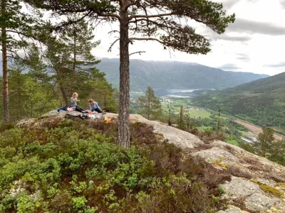
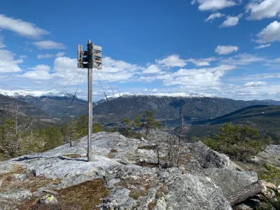
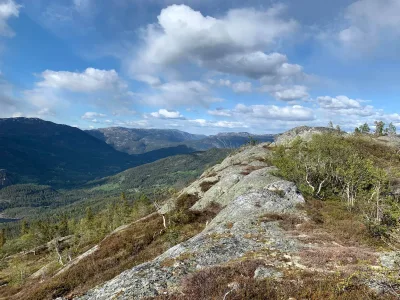
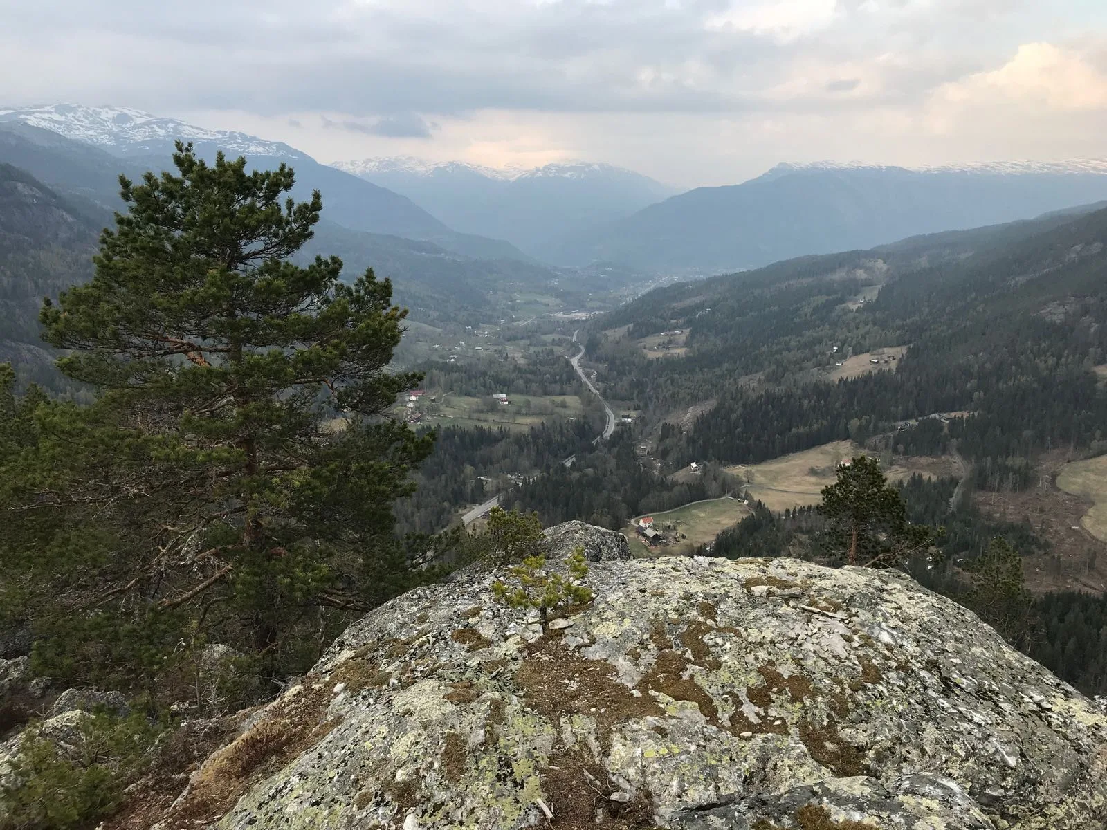
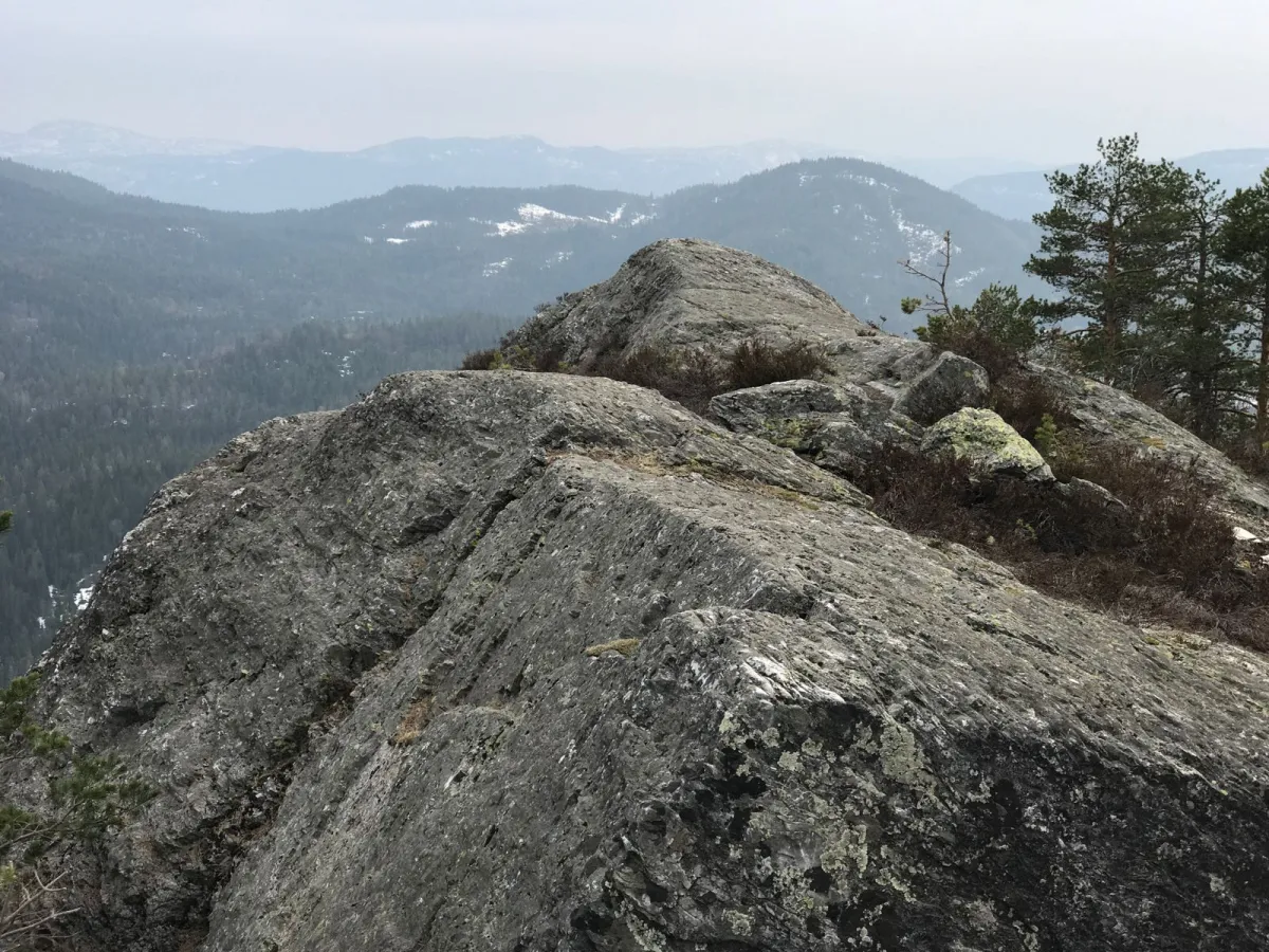
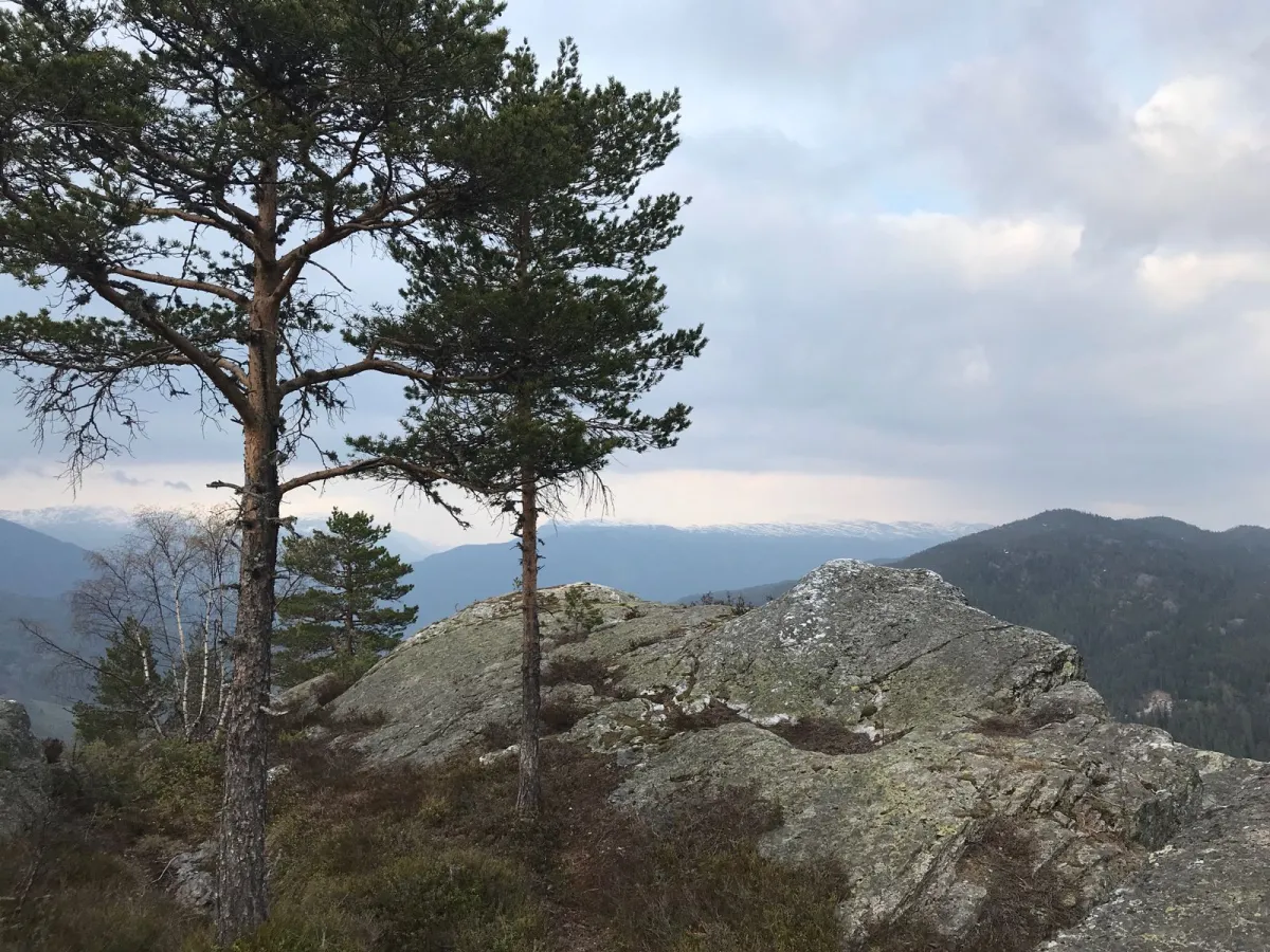
Skogsodd
Weather forecast
Hentar vêrdata…
Kjelde: Yr.no (Meteorologisk institutt)
Map and route
S Start
M Finish
▲ Highest point
▼ Lowest point
km Main route
km Alternativ rute
↕ m Elevation
About this hike
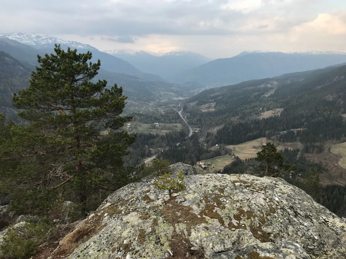
The hike to Skogsodd is steep and at times pathless. There are animal tracks, which are fairly easy to follow. The hike up from the Seljord side at the top of Nordbygdi at Meås/Kasland is 3.5 km long. The hike from the Kviteseid side at Vigdesjå/Kyrdalen is short but steep (1 km). At the top of Skogsodd, it is very important that children are well looked after. There are very steep edges here. If you're afraid of heights, don't go too close to the edge.
Photos (3)
1 / 3
Practical info
- Direction
- tur-retur
- Season
- Summer
- Trail quality
- 1/5
- Solitude
- 3/5
Got any good trail tips?
Seljord
Telemark
fintur.no
Telemark
fintur.no