Slåkånuten

Fee
The road or car park has a fee. Bring small change. Some take cards and Vipps.
Weather forecast
Hentar vêrdata…
Kjelde: Yr.no (Meteorologisk institutt)
Map and route
S Start
M Finish
▲ Highest point
▼ Lowest point
km Main route
↕ m Elevation
About this hike
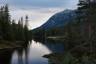
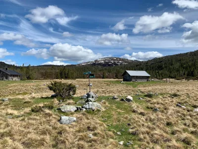
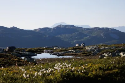
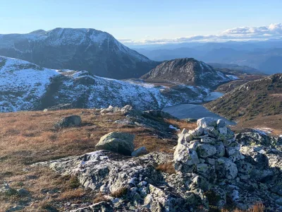
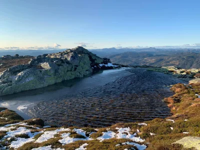
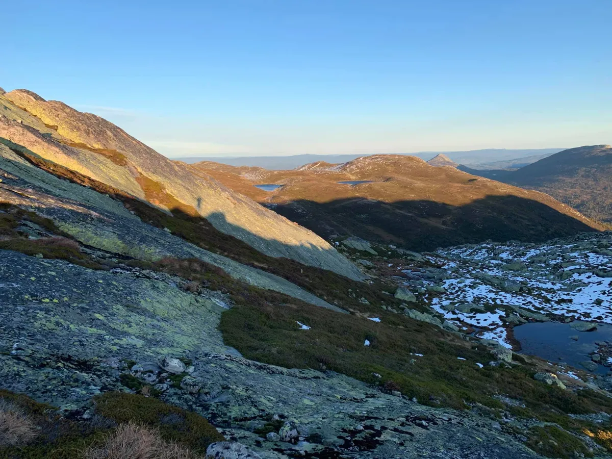
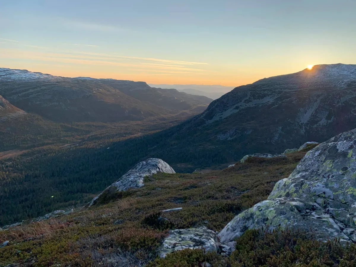
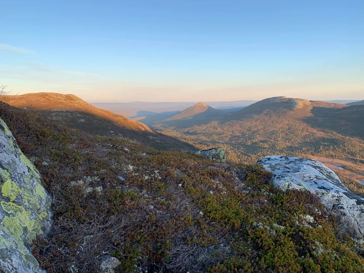
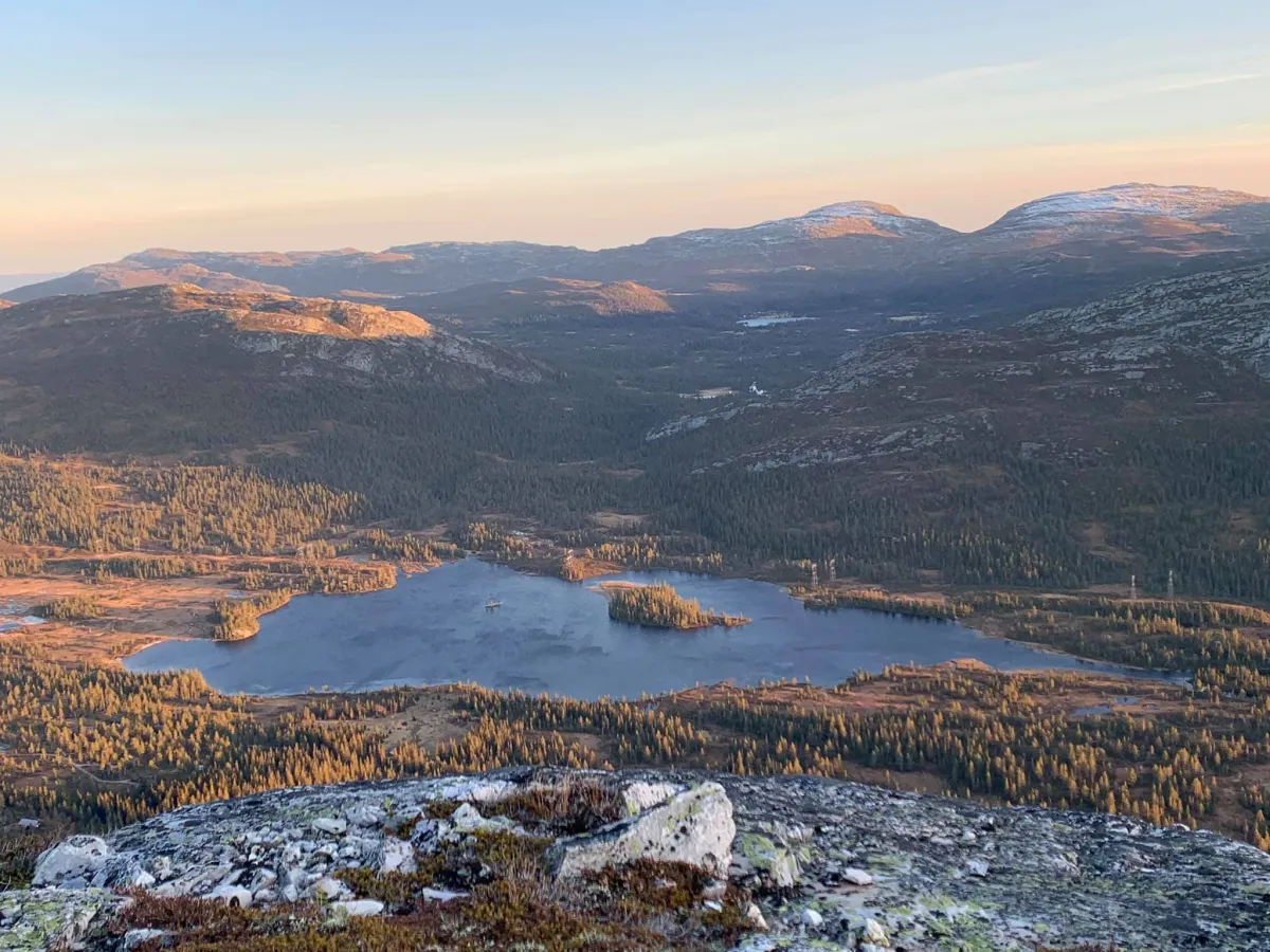
Long round trip on Blåtjønnfjellet (1234 m). Just before the winter sets in, the mountains in this area are super beautiful. This long hike takes place a little in Seljord and mostly in Hjartdal. The start is from the bottom of Grunningsdalen. At Slåke where the new beautiful bridges are. At the edge of the forest you'll find the old path. Fen walks over to the Østre Slåke stile by the cabin field. From there, you follow the path up Sudslåkåbekken until you reach Blåtjønn. A number of steep slopes with long gorges take you up to Blåtjønnfjellet (1234 m). This hike takes you up to the peaks around Blåtjønn. The next nut is 60 vertical meters down. Then it's on to Gryvenuten (1175 m) with great views of the entire Londalen valley and the tufts below. Now it's time to head home. First across Vesledalen and up the other side of the lake. There you'll find nuts and finally end up on Slåkånuten (1189 m). 13 km and 1058 vertical meters.
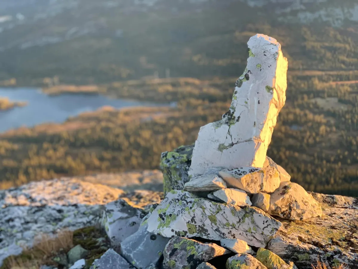
Photos (5)
1 / 5
Practical info
- Direction
- tur-retur
- Season
- Summer
- Trail quality
- 3/5
- Solitude
- 6/5
Got any good trail tips?
Hjartdal
Telemark
fintur.no
Telemark
fintur.no