Slettefjell
Fee
The road or car park has a fee. Bring small change. Some take cards and Vipps.
Weather forecast
Hentar vêrdata…
Kjelde: Yr.no (Meteorologisk institutt)
Map and route
S Start
M Finish
▲ Highest point
▼ Lowest point
km Main route
km Alternativ rute
↕ m Elevation
About this hike
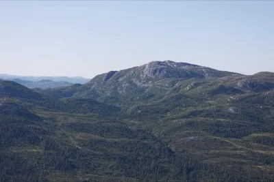
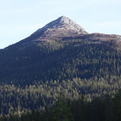
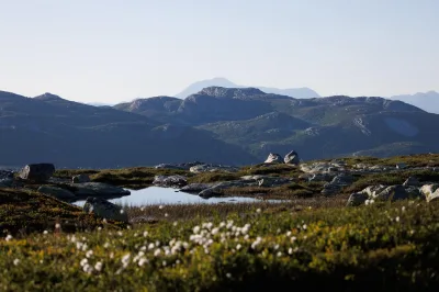
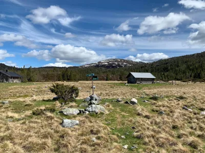
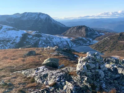
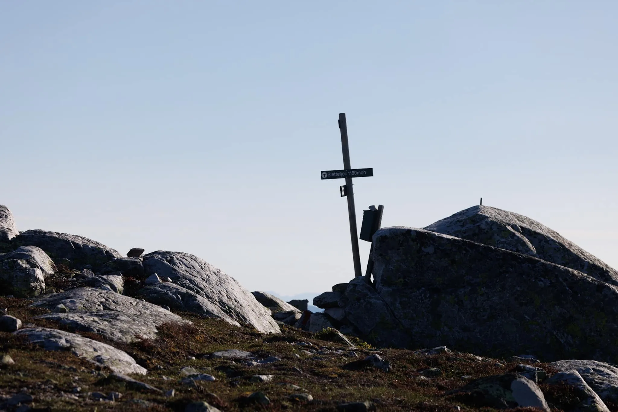
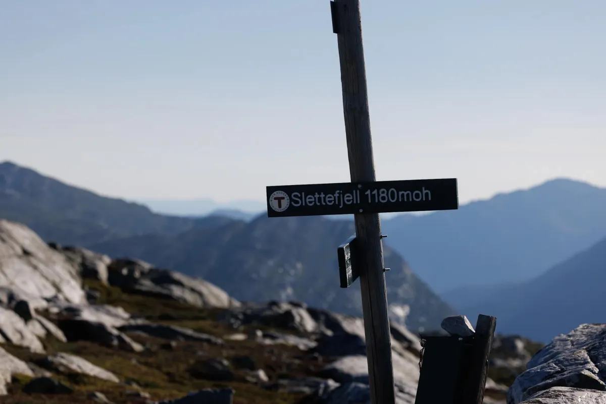
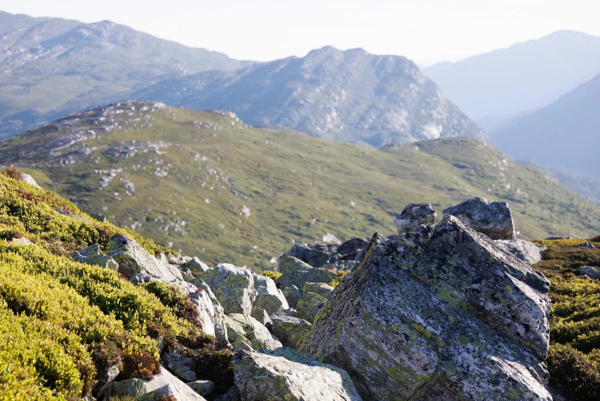
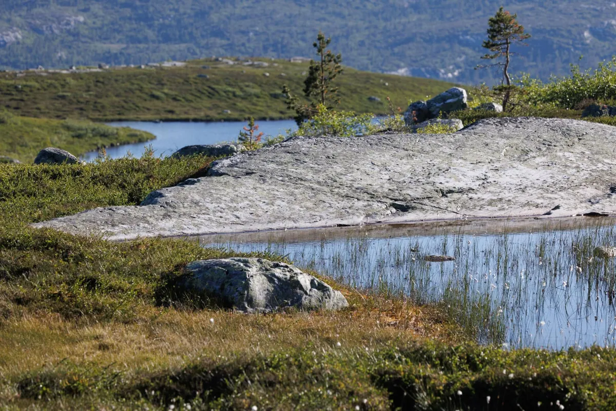
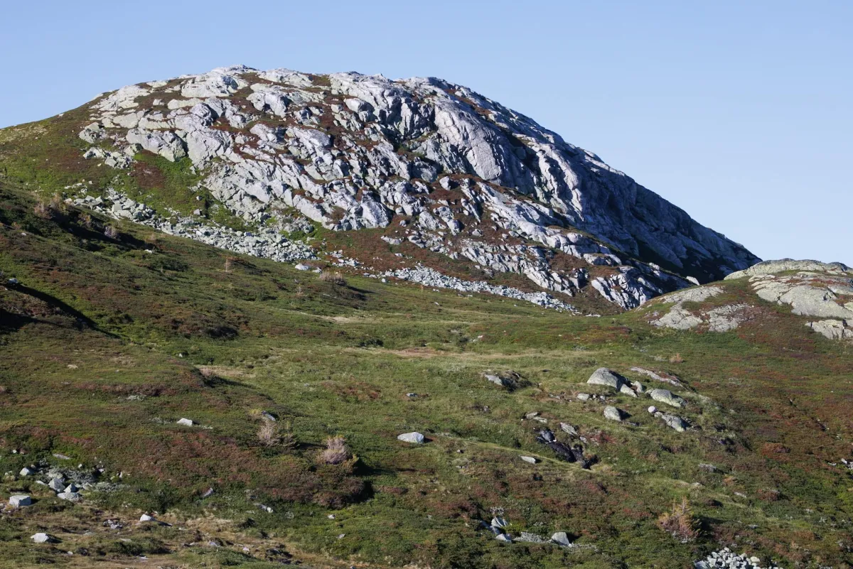
Slettefjell (1180 m) and Sigurdsbunuten (1079 m). Lifjell has many gems. From all sides. This time the trip to Lifjell went up from Slåkja to the area on the Hjartdal side. First I went up along Uppdøla until I found a nice place to come across, then up Løyningen until I came to the back of Sigurdsbunuten. There you'll find fantastic rock formations. Almost like cathedrals with free-standing boulders. I walked up along them to get a closer look. Incredibly beautiful. At the top of Sigurdsbunuten, you have a view of the entire Lifjell plateau on one side and all of Hjartdalsfjella including Gaustadtoppen on the other. Fantastic views in all directions. I then went up to Slettefjell via Isfisketjønn and the long plains there. From there, you can see all the way to Notodden and down to Sauland. I walked down the ridge until I came to Illfiskskaret. Long ride down the valley towards Slåkjavatnet and back to the bike. 15.3 km and 730 vertical meters. 4 hour trip.
Photos (6)
1 / 6
Practical info
- Direction
- tur-retur
- Season
- Summer
- Trail quality
- 3/5
- Solitude
- 6/5
- Copyright
- © Hans Inge
Got any good trail tips?
Notodden
Telemark
fintur.no
Telemark
fintur.no