Telnesøy
Weather forecast
Hentar vêrdata…
Kjelde: Yr.no (Meteorologisk institutt)
Map and route
S Start
M Finish
▲ Highest point
▼ Lowest point
km Main route
km Alternativ rute
↕ m Elevation
About this hike
Telnesøy - a close trip with an archipelago atmosphere and legends
Not all walks have to be long or demanding. On Telnesøy, just outside the center of Seljord, you'll find an easily accessible and varied tour that is suitable for both young and old - and partly also for wheelchairs.
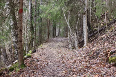
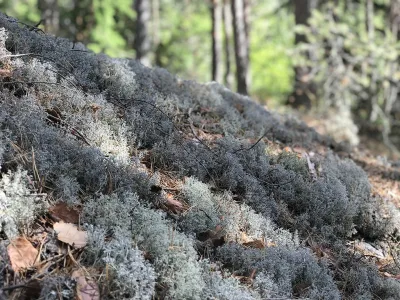
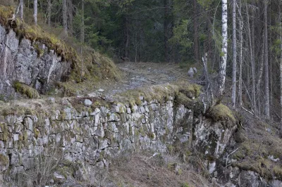
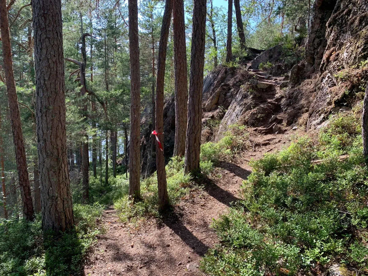
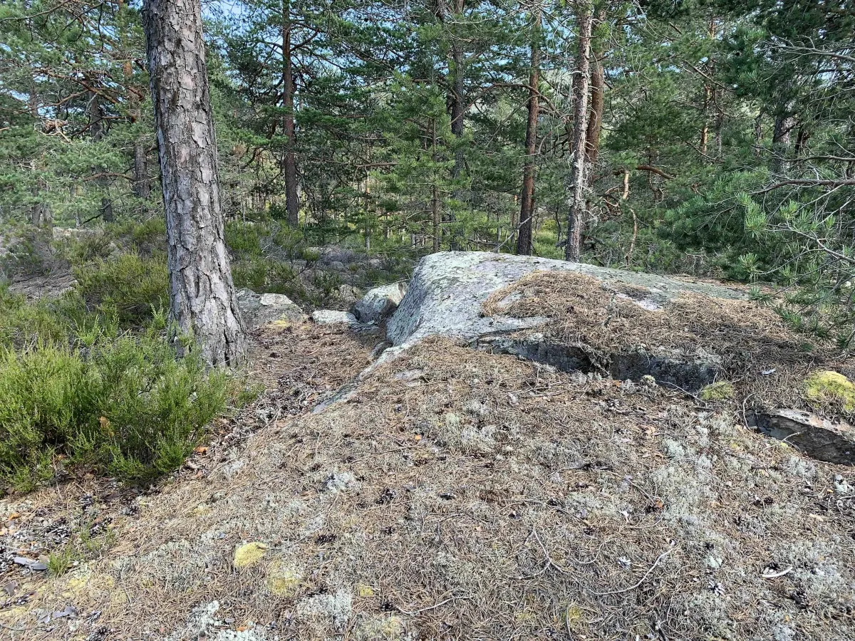
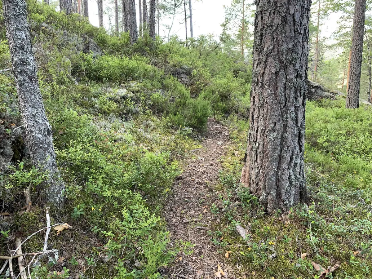
The trail follows a combination of forest paths, paths, free traffic and rocky outcrops, and along the way you'll experience forest, soft ground and open landscapes. Several trails are marked and cleared, and criss-cross the island, so it's easy to create your own variation of the trip.
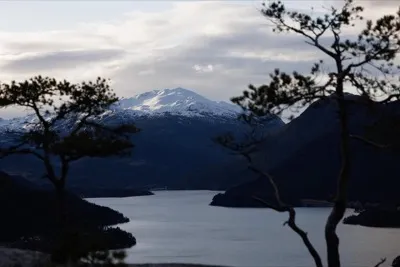
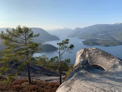
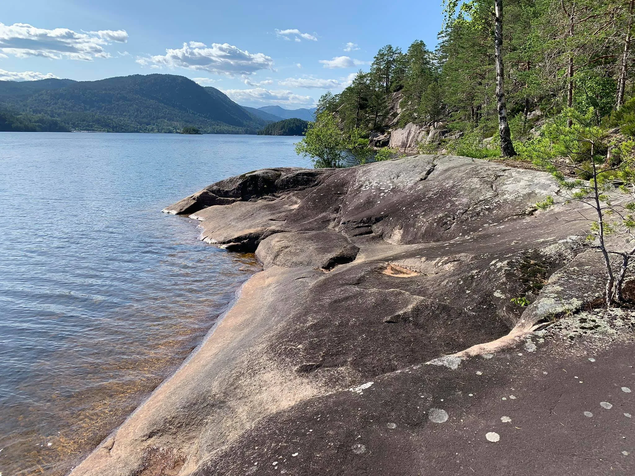
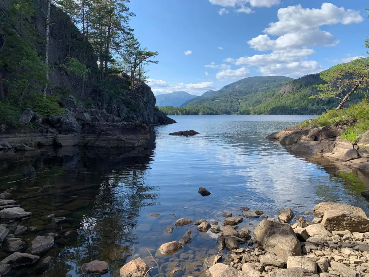
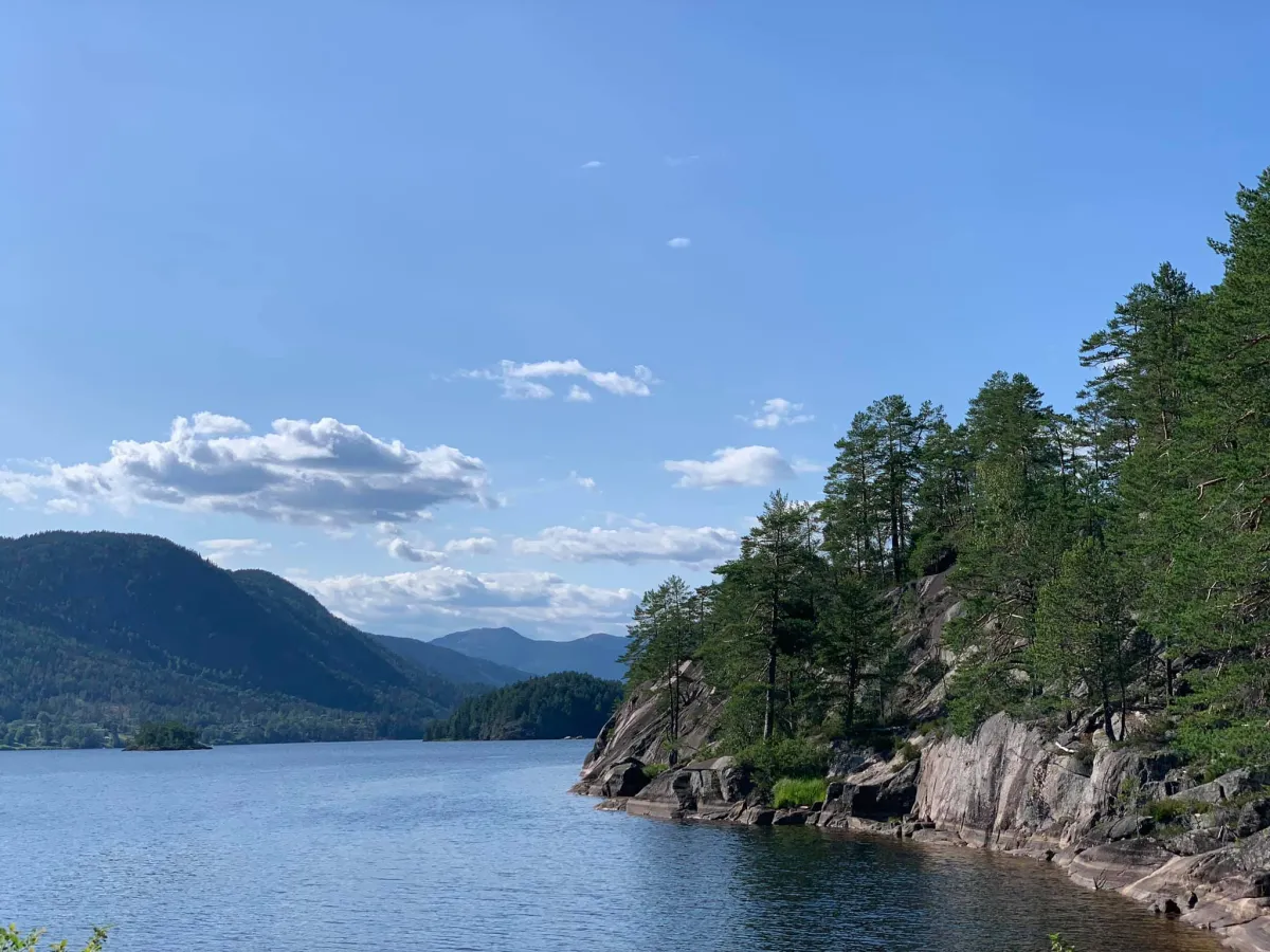
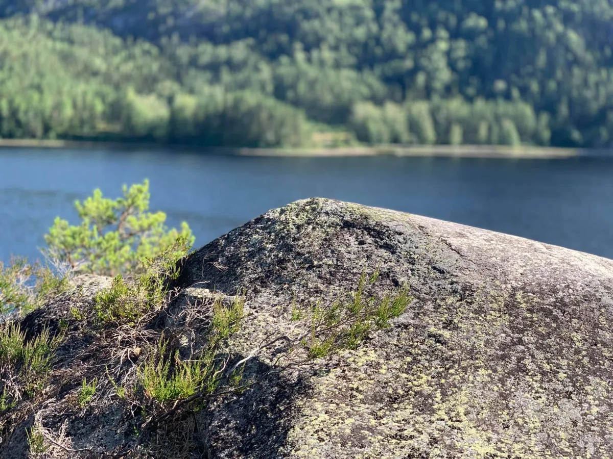
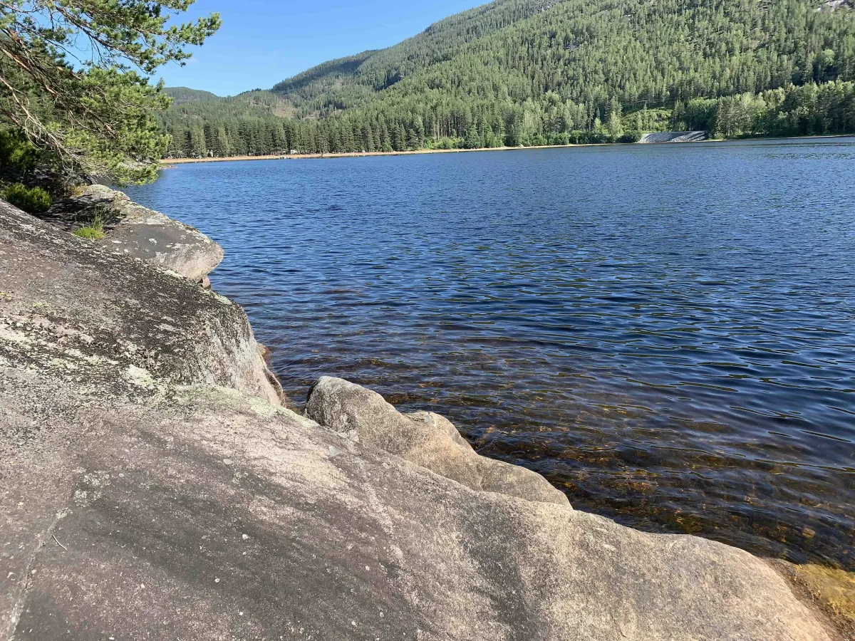
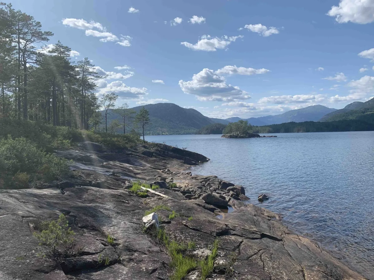
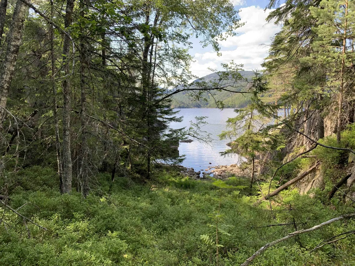
From the tip of the island, you get an almost archipelago atmosphere, with views of Seljordsvatnet and small coves and rocks. At Svartholbukta, you can take a break and wonder if this might be where the sea serpent hibernates?
The highest point on the island is called Langåsen and is located at 162 m above sea level - a modest climb of 48 meters, but still a nice viewpoint over the area.
The hike is about 3 km on a circular trail, and is well suited to an afternoon walk or summer stroll, preferably with swimming or a picnic.
A great short hike - somewhere between adventure and everyday life!
Not all walks have to be long or demanding. On Telnesøy, just outside the center of Seljord, you'll find an easily accessible and varied tour that is suitable for both young and old - and partly also for wheelchairs.
The trail follows a combination of forest paths, paths, free traffic and rocky outcrops, and along the way you'll experience forest, soft ground and open landscapes. Several trails are marked and cleared, and criss-cross the island, so it's easy to create your own variation of the trip.
From the tip of the island, you get an almost archipelago atmosphere, with views of Seljordsvatnet and small coves and rocks. At Svartholbukta, you can take a break and wonder if this might be where the sea serpent hibernates?
The highest point on the island is called Langåsen and is located at 162 m above sea level - a modest climb of 48 meters, but still a nice viewpoint over the area.
The hike is about 3 km on a circular trail, and is well suited to an afternoon walk or summer stroll, preferably with swimming or a picnic.
A great short hike - somewhere between adventure and everyday life!
Photos (5)

1 / 5
User photos (7)
1 / 7
Practical info
- Direction
- tur-retur
- Season
- Summer
- Trail quality
- 3/5
- Solitude
- 2/5
Got any good trail tips?
Seljord
Telemark
fintur.no
Telemark
fintur.no