Valskarsnuten
 T
T
Weather forecast
Hentar vêrdata…
Kjelde: Yr.no (Meteorologisk institutt)
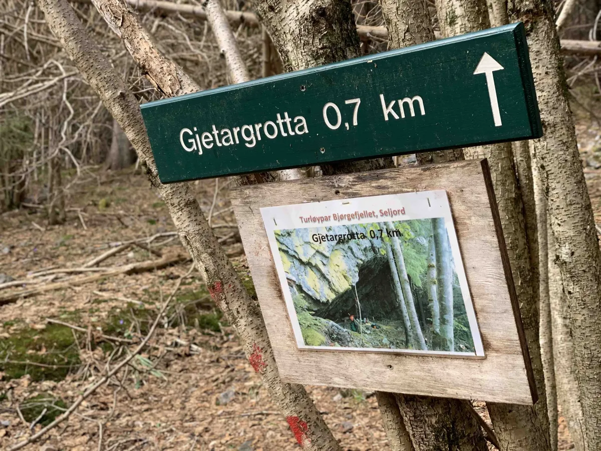
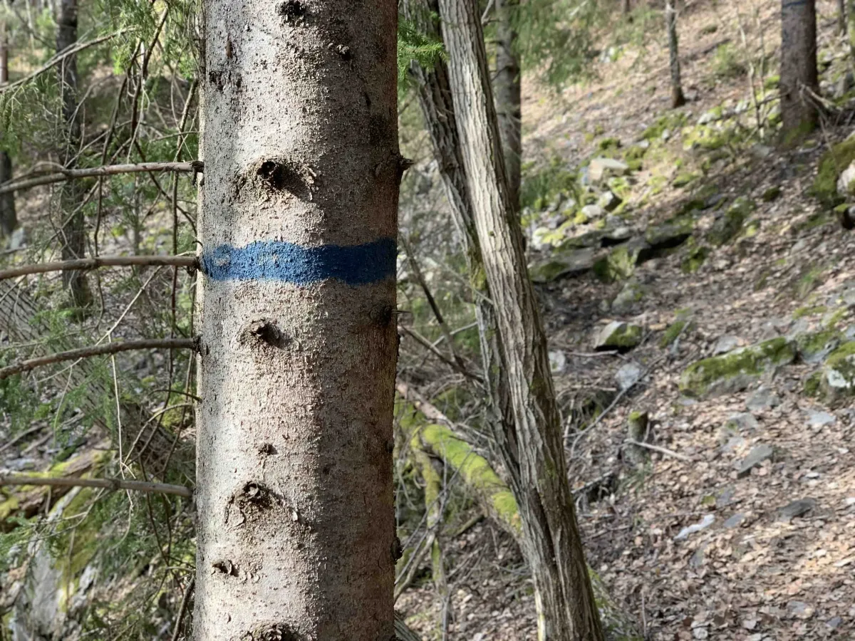
Map and route
S Start
M Finish
▲ Highest point
▼ Lowest point
km Main route
km Alternativ rute
↕ m Elevation
About this hike
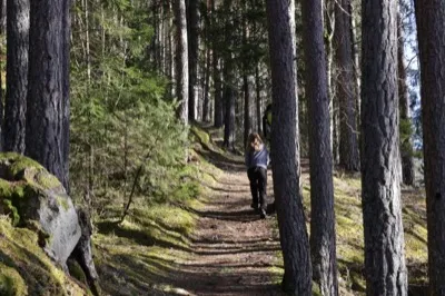
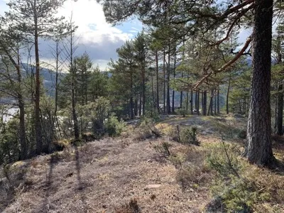
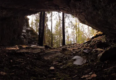
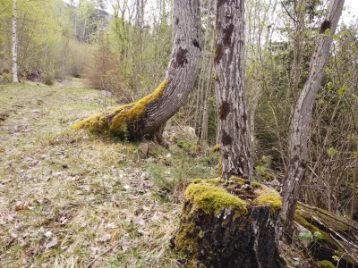
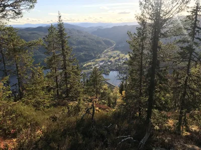
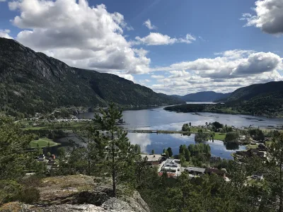
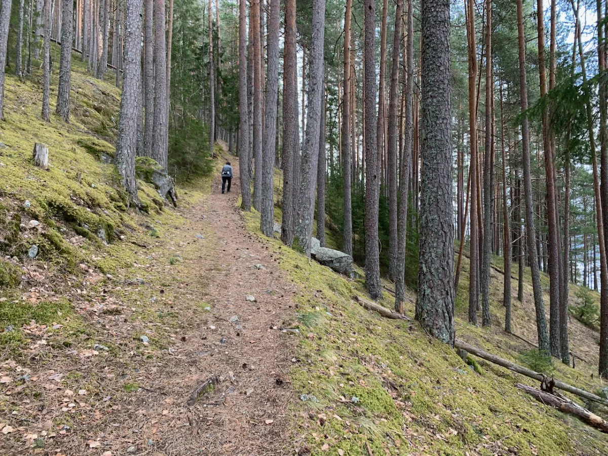
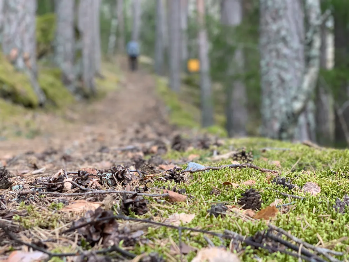
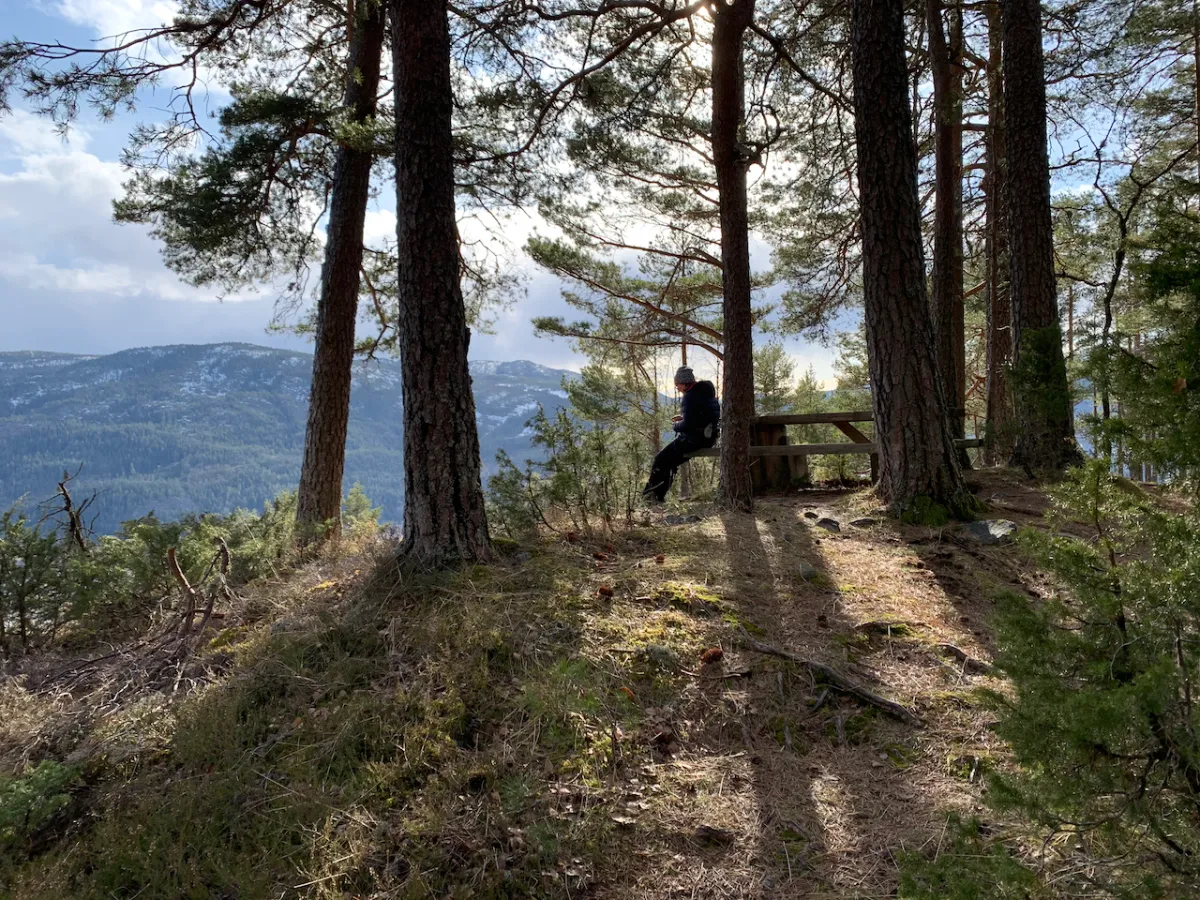
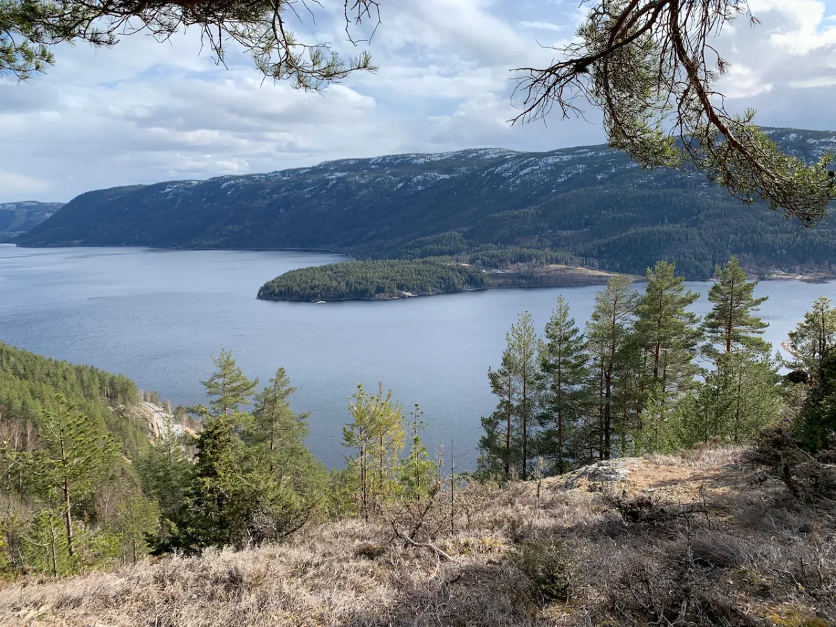
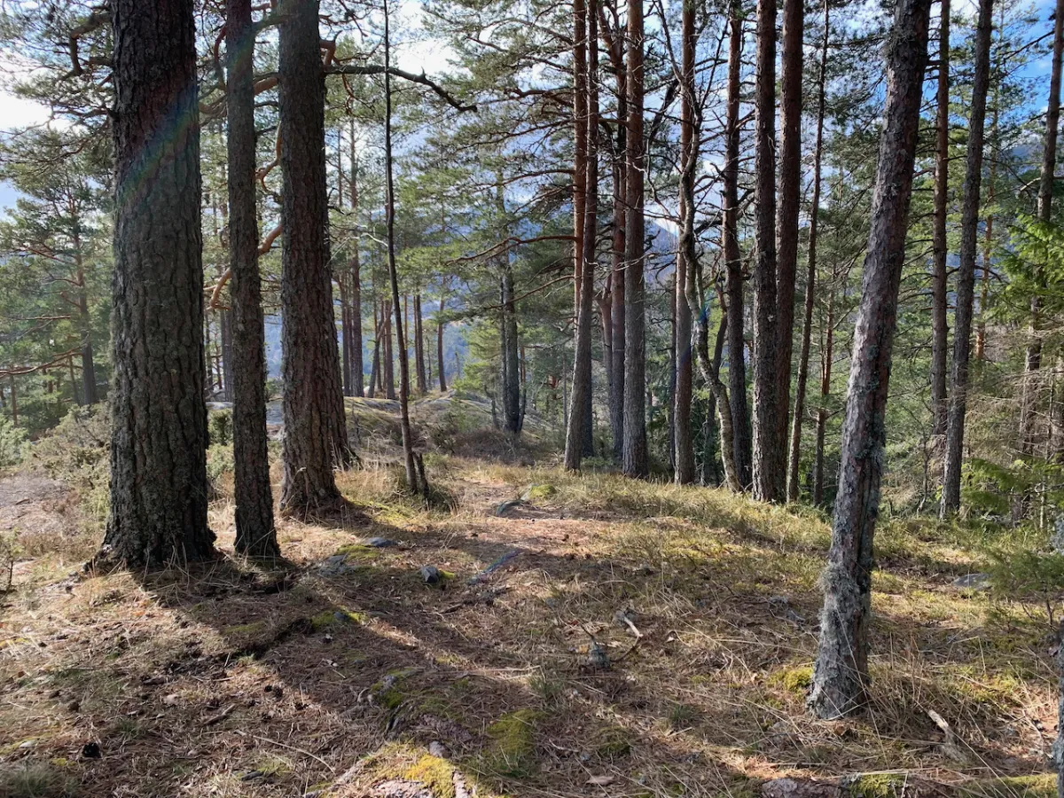
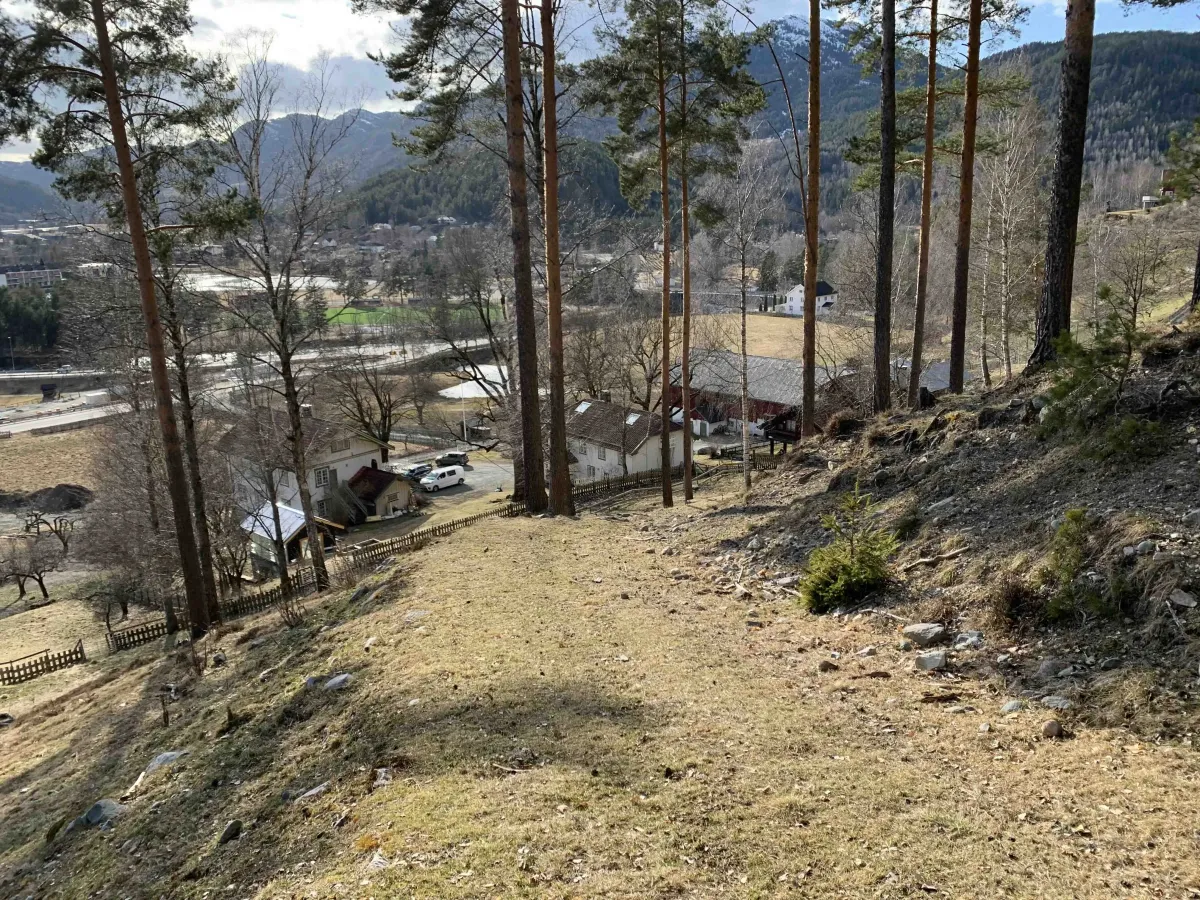
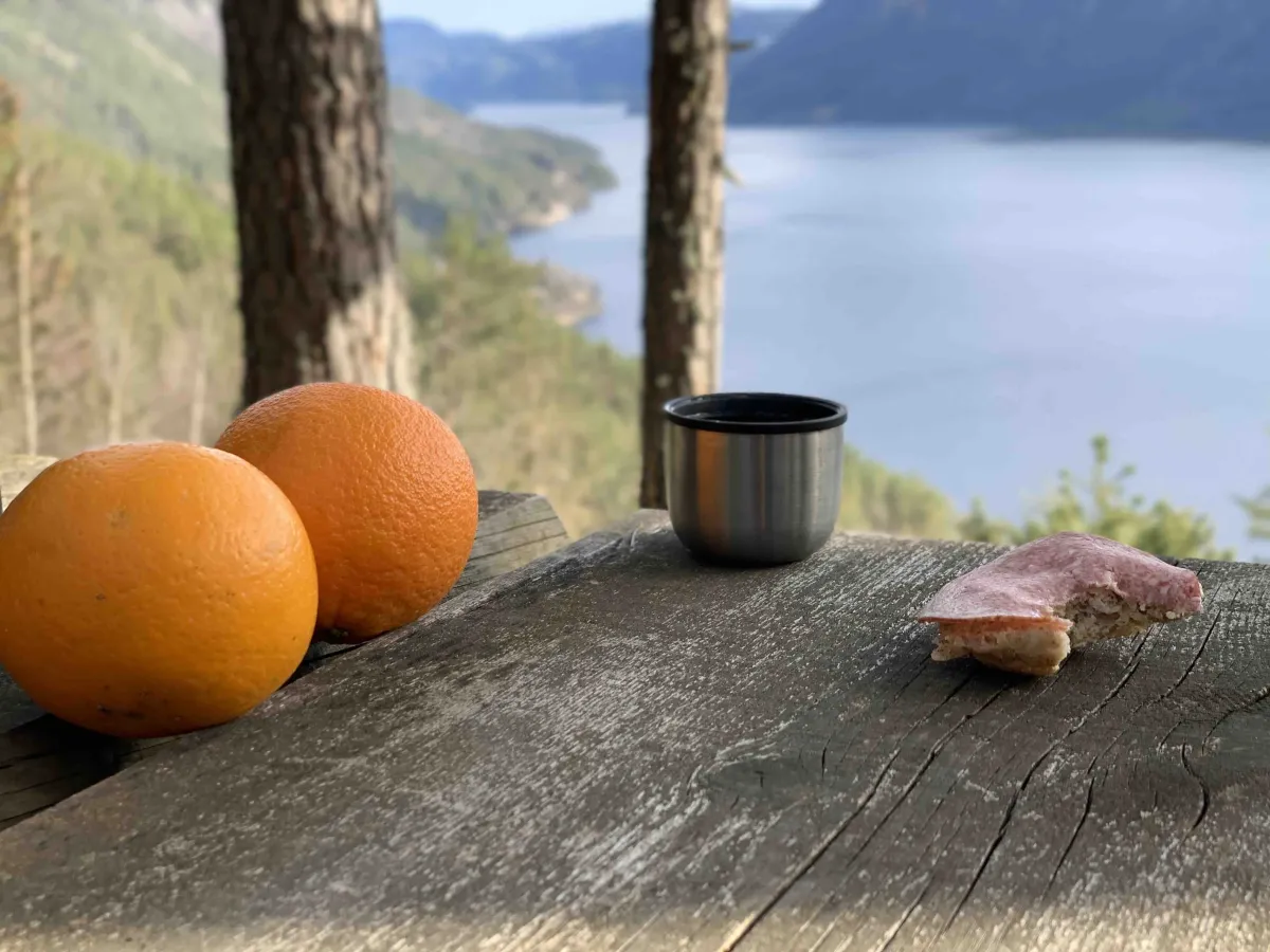
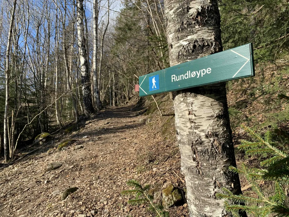
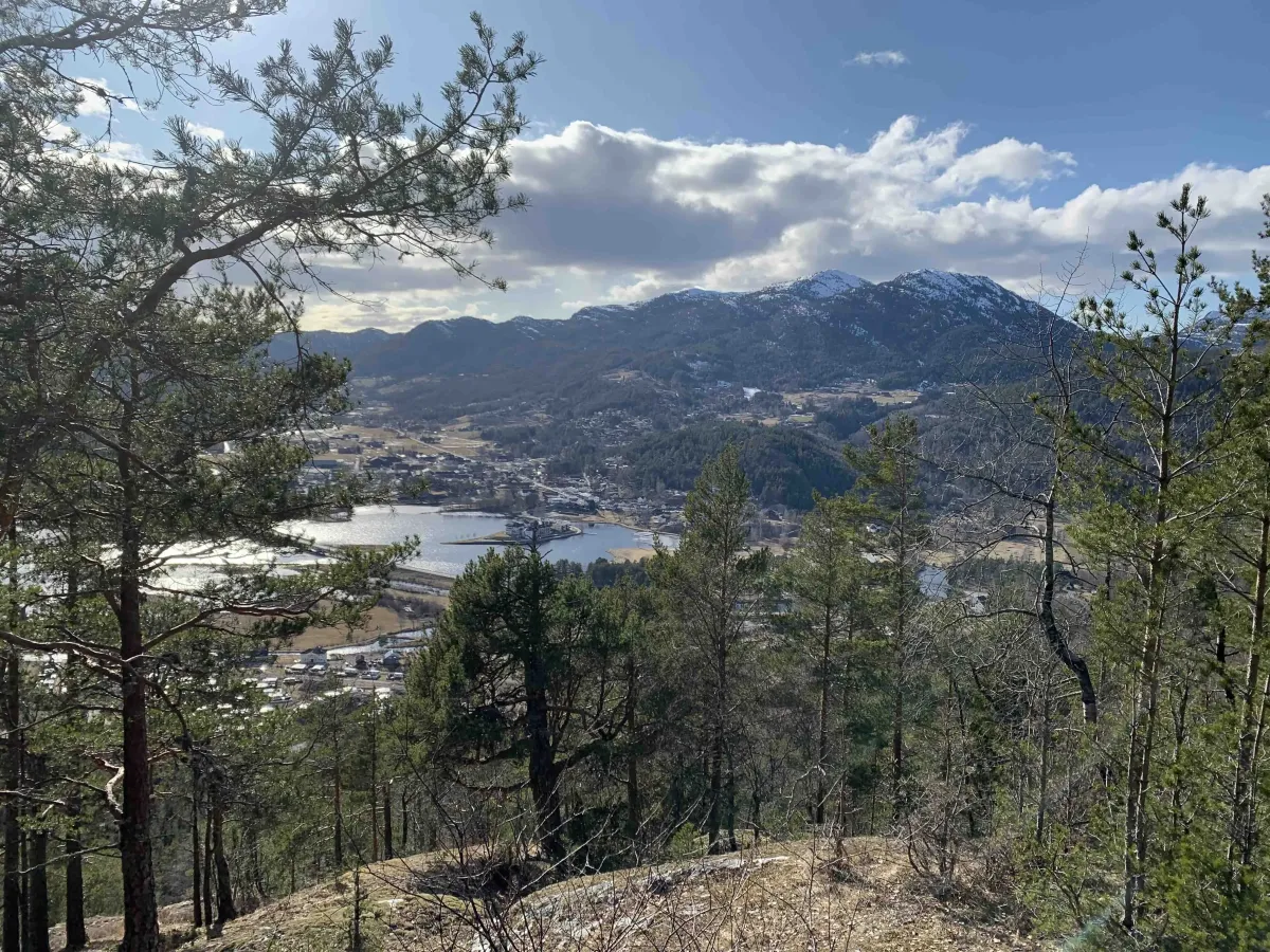
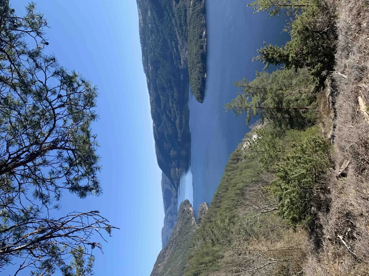
Fantastic and close nature with quiet forest and good views of Seljordvatnet, Sinnesodden and towards Brøløs. This hike follows the southern paths of the Round Trail, which is made in Bjørgelia. It's great to experience a forest like this. It's quite steep from the start if you choose to walk from the junction down towards Seljord Camping. It's a little easier if you start from Bjørge Visitor Center, i.e. the opposite way. The hike is 3-4 km with a climb of about 300 meters.
Photos (6)
1 / 6
User photos (7)
1 / 7
Practical info
- Direction
- rundtur
- Season
- Summer
- Trail quality
- 4/5
- Solitude
- 5/5
Got any good trail tips?
Seljord
Telemark
fintur.no
Telemark
fintur.no