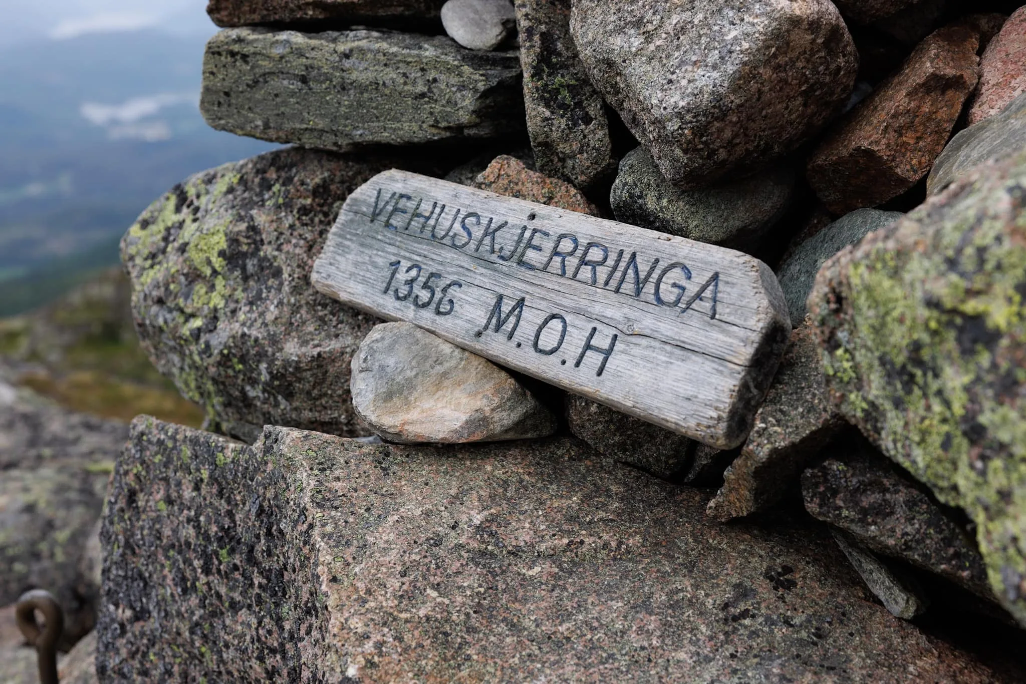
Vehuskjerringi
 T
T
Weather forecast
Hentar vêrdata…
Kjelde: Yr.no (Meteorologisk institutt)
Map and route
S Start
M Finish
▲ Highest point
▼ Lowest point
km Main route
↕ m Elevation
About this hike
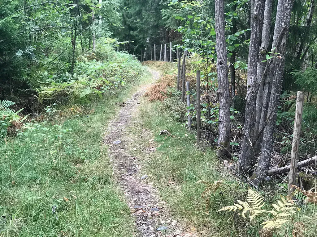
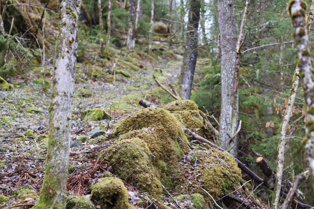
Would you like a brisk Sunday hike with both views and a good climb? Then Vehuskjerringi is a great destination! The hike starts between Åmot and Rauland, at a small parking lot along the road. From the parking lot, you first walk about 2.5 km up a tractor road before joining the trail that takes you all the way to the top.
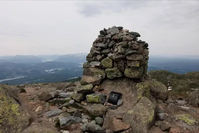
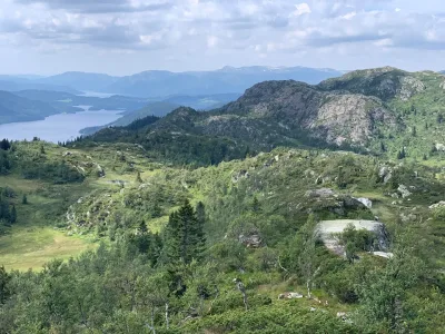
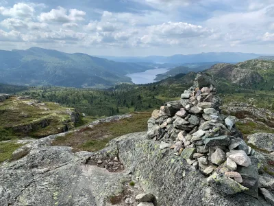
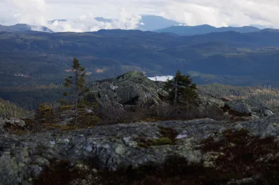
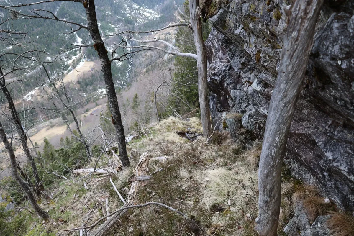
The path gradually becomes steeper, and in total there are around 640 vertical meters to climb in the last 2.5 km. You'll feel it in your legs - but the reward awaits at the top: an aerial view of Totak, Møsvatn, Raulandsfjella and, not least, the majestic Gaustatoppen in the east.
With glorious hiking weather like today - not too hot and with a weak sun - this will be a hike to remember. And hugs: In the mountains, you're allowed to take your time. Enjoy the trip!
Photos (3)
1 / 3
Practical info
- Direction
- tur-retur
- Season
- Summer
- Trail quality
- 4/5
- Solitude
- 6/5
Got any good trail tips?
Vinje
Telemark
fintur.no
Telemark
fintur.no