Venelinuten
 T
T
Weather forecast
Hentar vêrdata…
Kjelde: Yr.no (Meteorologisk institutt)
Map and route
S Start
M Finish
▲ Highest point
▼ Lowest point
km Main route
km Alternativ rute
↕ m Elevation
About this hike
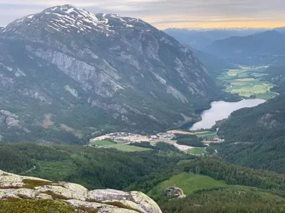
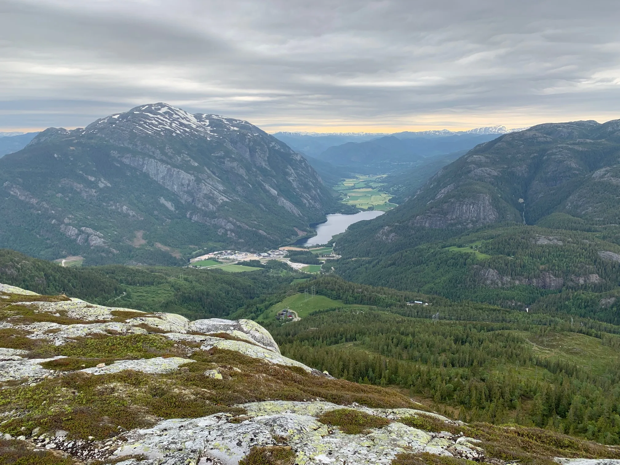
Venelinuten (1007 m) - viewpoint summit on the Grimås side of Lifjell
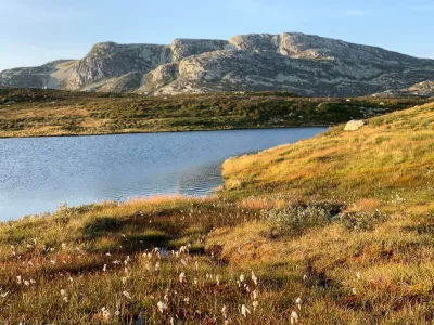
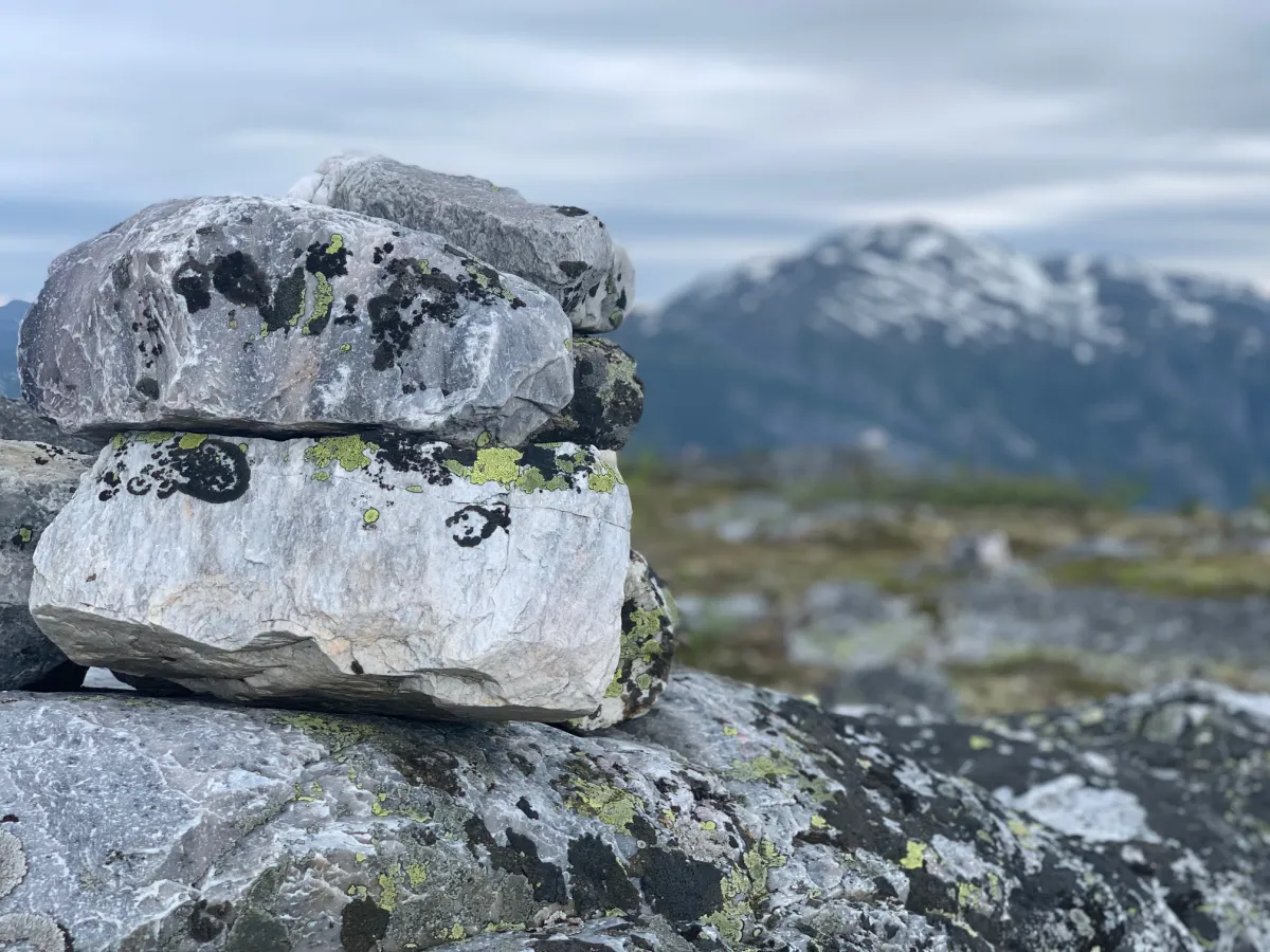
Venelinuten is one of the many fine viewpoints on Lifjell, and from here you really get to look around: Skorvefjell, Flatsjå, the islands, Mælefjell with Århusnuten, Stondfjellet and Tvingelid - everything spreads out on the horizon.
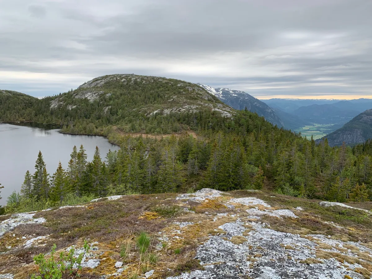
The starting point for the tour is the parking lot at Grimås. From here you walk up towards Tvitjønnan, and then turn right towards Nedre Tvitjønnan. You then have to cross the stream/river - which can be challenging when the water level is high, so plan accordingly.
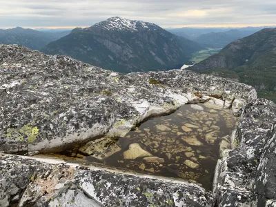
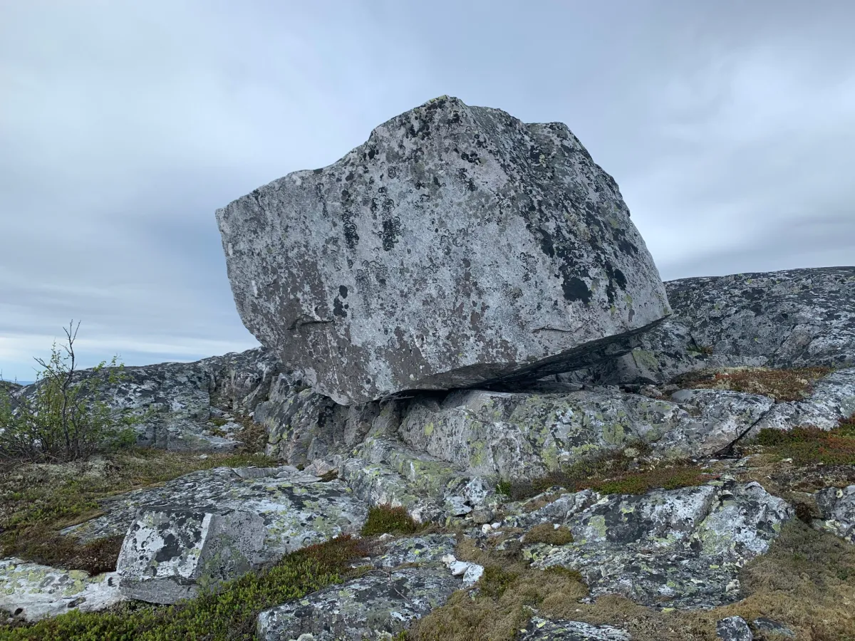
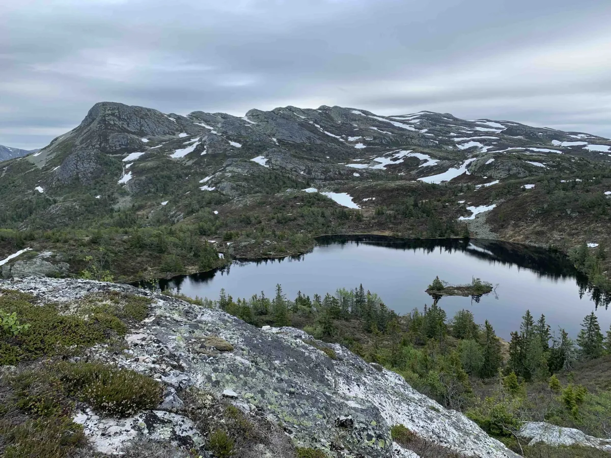
Once you're across, you can take your bearings on the large rock you see at the top - that's Venelinuten. There is a path, but it sometimes gets lost in overgrown terrain, so you need to keep your bearings and use your eyes and intuition.
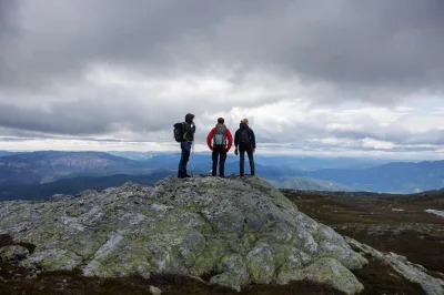
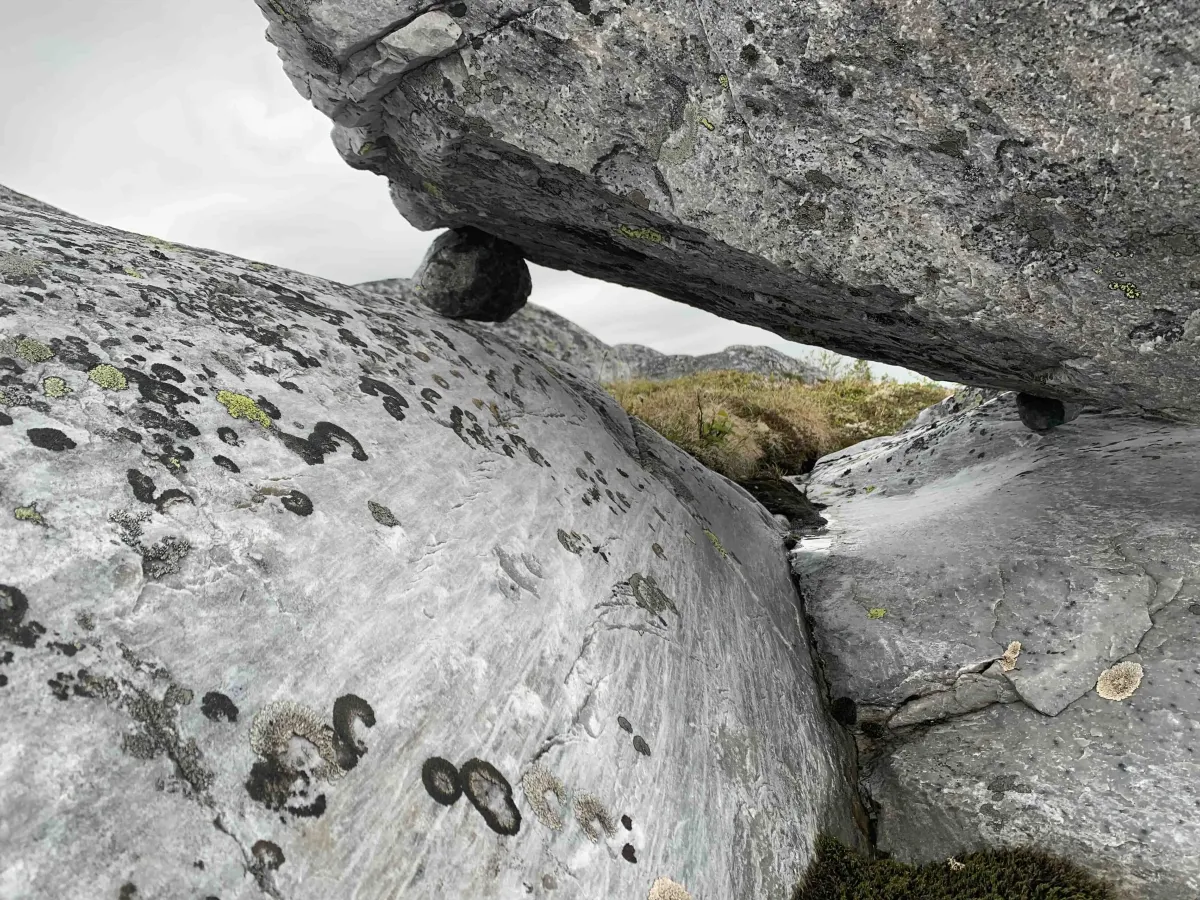
It's freewheeling in open terrain, which many people find both fun and varied - especially when you have a fixed point in front of you. The view at the top is a great reward after the effort.
Length: Approx. 5-6 km round trip
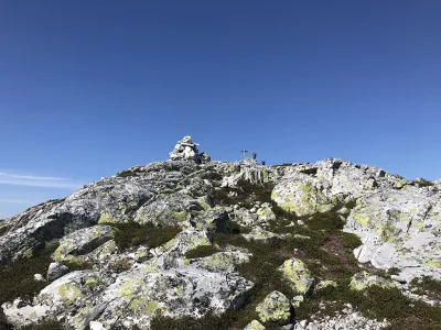
Altitude: 1007 m above sea level
Time required: 2-3 hours
Gradient: Moderate
Difficulty level: Moderate - requires map understanding and judgment when crossing streams
Venelinuten is one of the many fine viewpoints on Lifjell, and from here you really get to look around: Skorvefjell, Flatsjå, the islands, Mælefjell with Århusnuten, Stondfjellet and Tvingelid - everything spreads out on the horizon.
The starting point for the tour is the parking lot at Grimås. From here you walk up towards Tvitjønnan, and then turn right towards Nedre Tvitjønnan. You then have to cross the stream/river - which can be challenging when the water level is high, so plan accordingly.
Once you're across, you can take your bearings on the large rock you see at the top - that's Venelinuten. There is a path, but it sometimes gets lost in overgrown terrain, so you need to keep your bearings and use your eyes and intuition.
It's freewheeling in open terrain, which many people find both fun and varied - especially when you have a fixed point in front of you. The view at the top is a great reward after the effort.
Length: Approx. 5-6 km round trip
Altitude: 1007 m above sea level
Time required: 2-3 hours
Gradient: Moderate
Difficulty level: Moderate - requires map understanding and judgment when crossing streams
Photos (4)
1 / 4
User photos (2)
1 / 2
Practical info
- Direction
- tur-retur
- Season
- Summer
- Trail quality
- 2/5
- Solitude
- 6/5
Got any good trail tips?
Seljord
Telemark
fintur.no
Telemark
fintur.no