Veslesåta

Fee
The road or car park has a fee. Bring small change. Some take cards and Vipps.
Weather forecast
Hentar vêrdata…
Kjelde: Yr.no (Meteorologisk institutt)
Map and route
S Start
M Finish
▲ Highest point
▼ Lowest point
km Main route
↕ m Elevation
About this hike
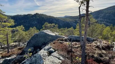
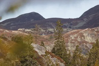
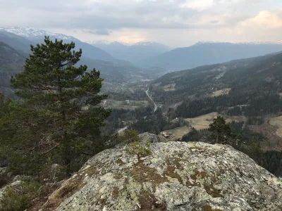
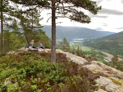
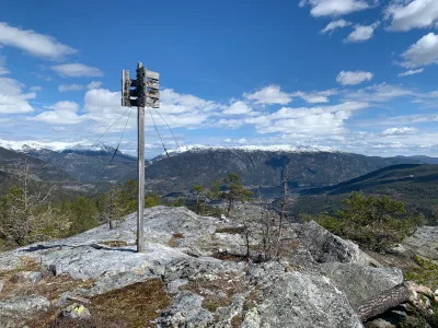
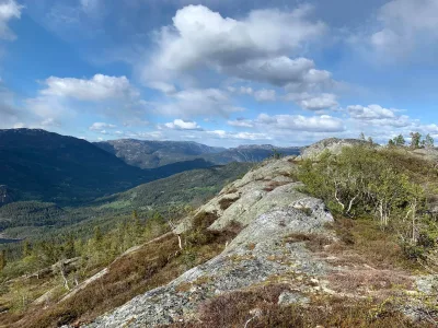
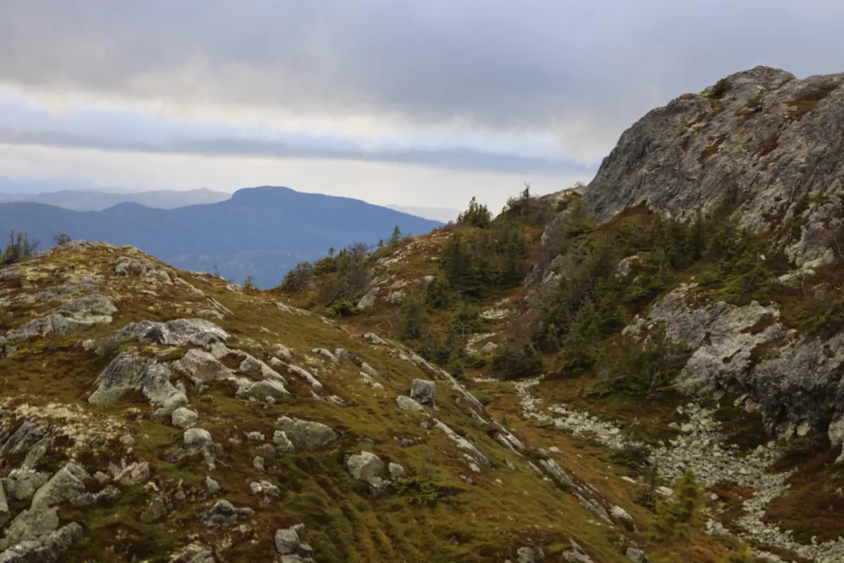
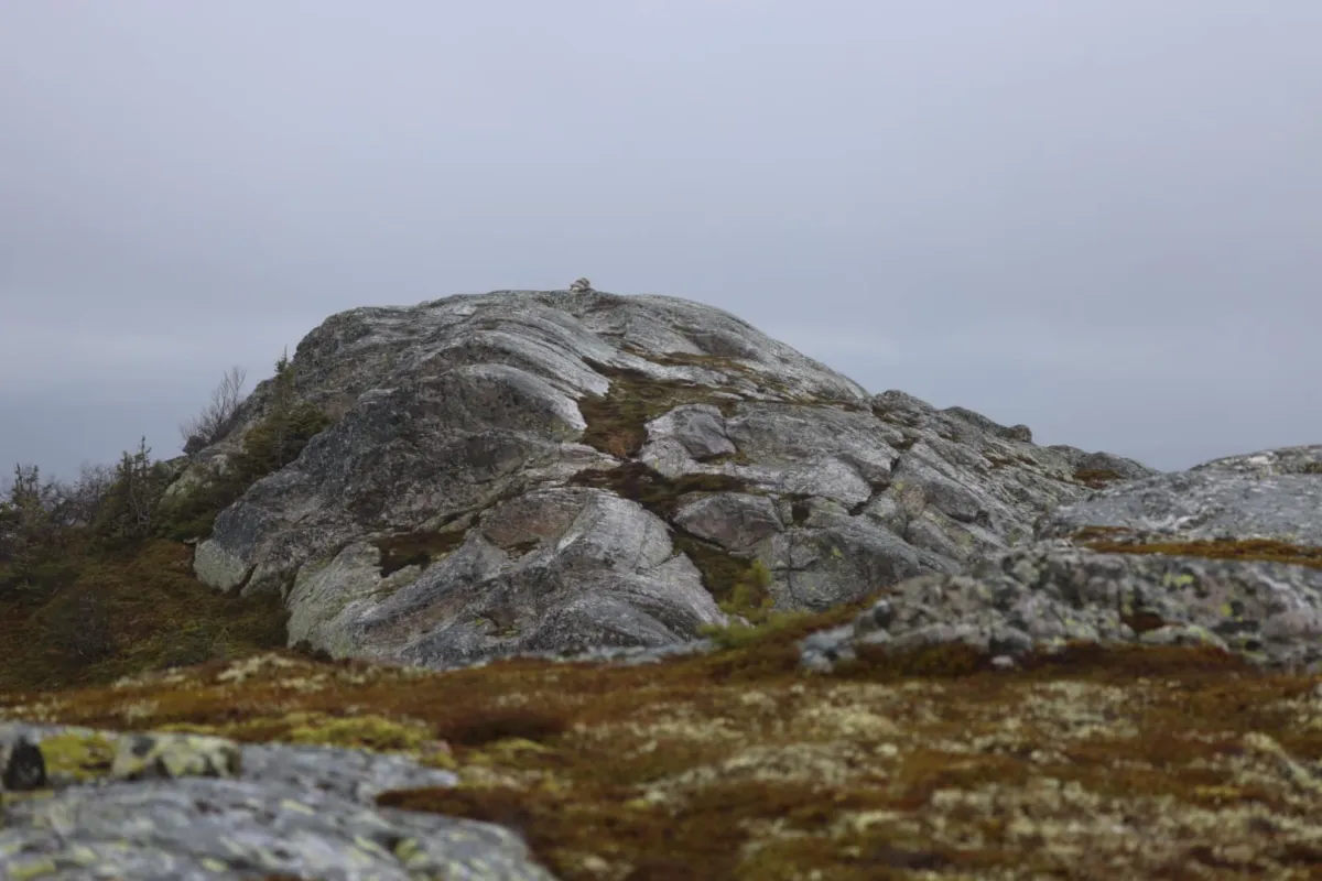
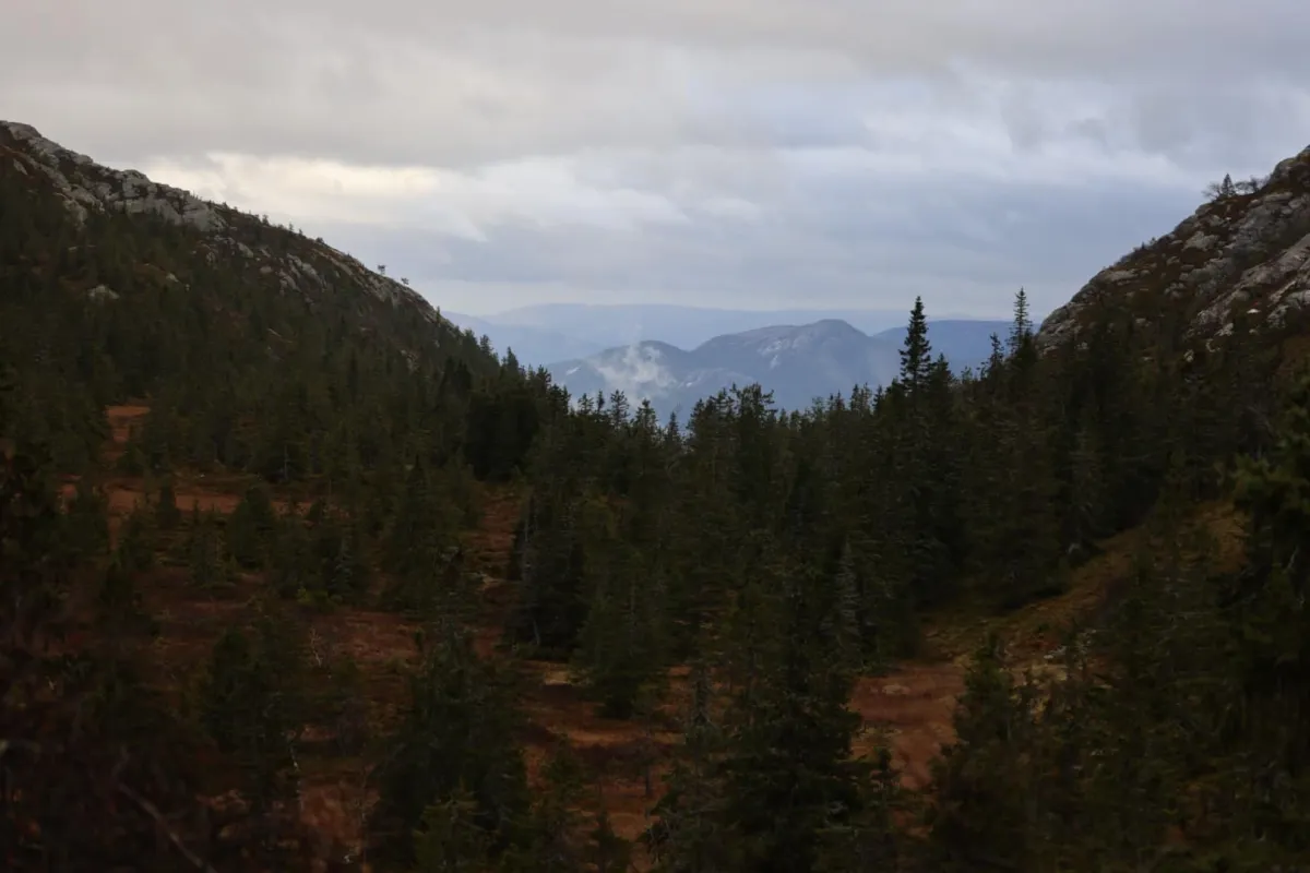
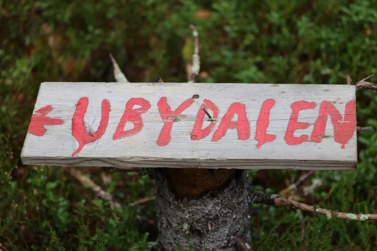
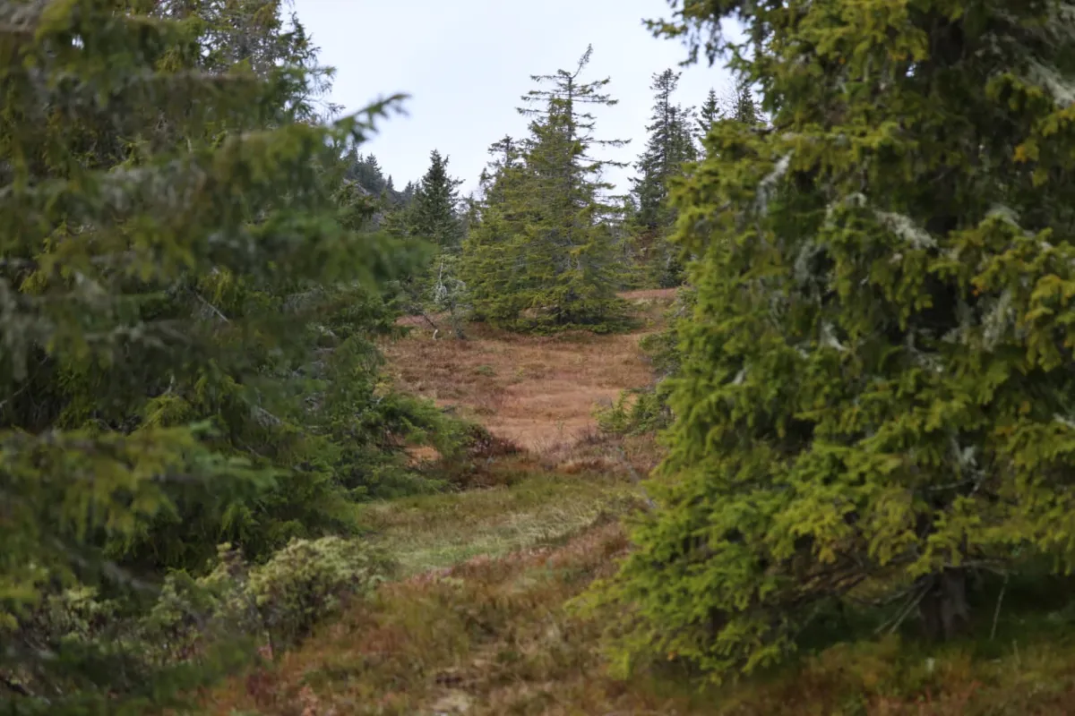
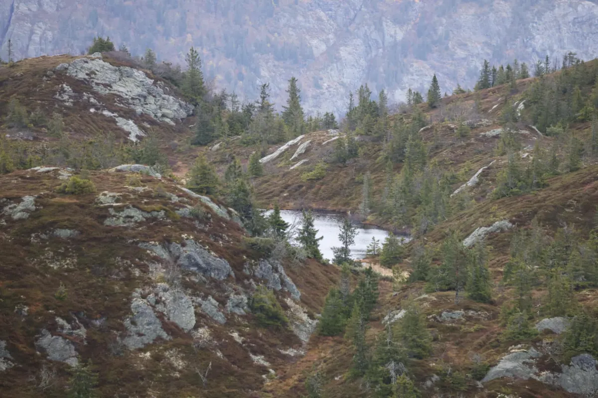
Veslesåta up Ubydalen from the top of Nordygdi. Long hike up along the path by the gorge in Bøyeåi. It's a long way up the hills there. Fortunately, there is a tractor road (2.45 km) almost to Bjønndalen. From there, there is a path (albeit somewhat untraveled lately, perhaps) all the way over to Sundsbarmvatnet. First you have to climb up Ubydalen to Ubyfloan. Fantastic wilderness. I went up to Veslesåta (approx. 1025 m), which is in Seljord (Ordalsåta (1137 m) in Kviteseid). So, this is the borderland with the neighbor. Back home, I walked on the other side via Ubystaulan and Skrøyva. Some free walking in rough terrain. Not for everyone. Crossed the river and found old paths down there. Very fun, but difficult to get around. Reached the top at Juvland. And then the tractor road down is good to have. Total length of 14.66 km with an ascent of 1045 m. Fun that we have such nature nearby.
Photos (7)
1 / 7
Practical info
- Direction
- tur-retur
- Season
- Summer
- Trail quality
- 2/5
- Solitude
- 6/5
Got any good trail tips?
Seljord
Telemark
fintur.no
Telemark
fintur.no