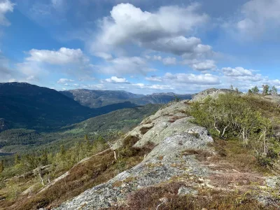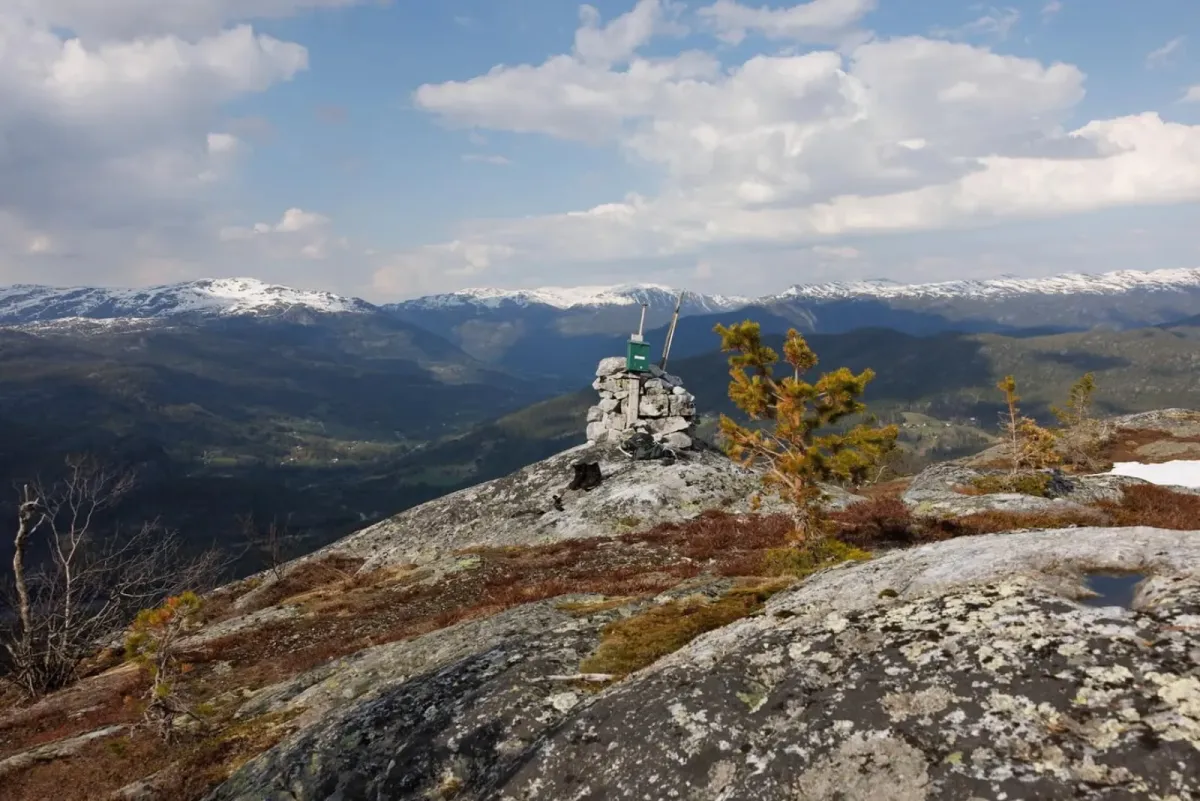
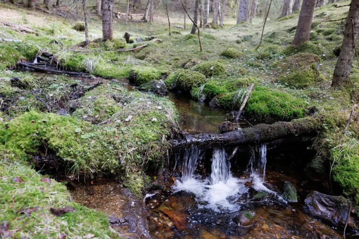


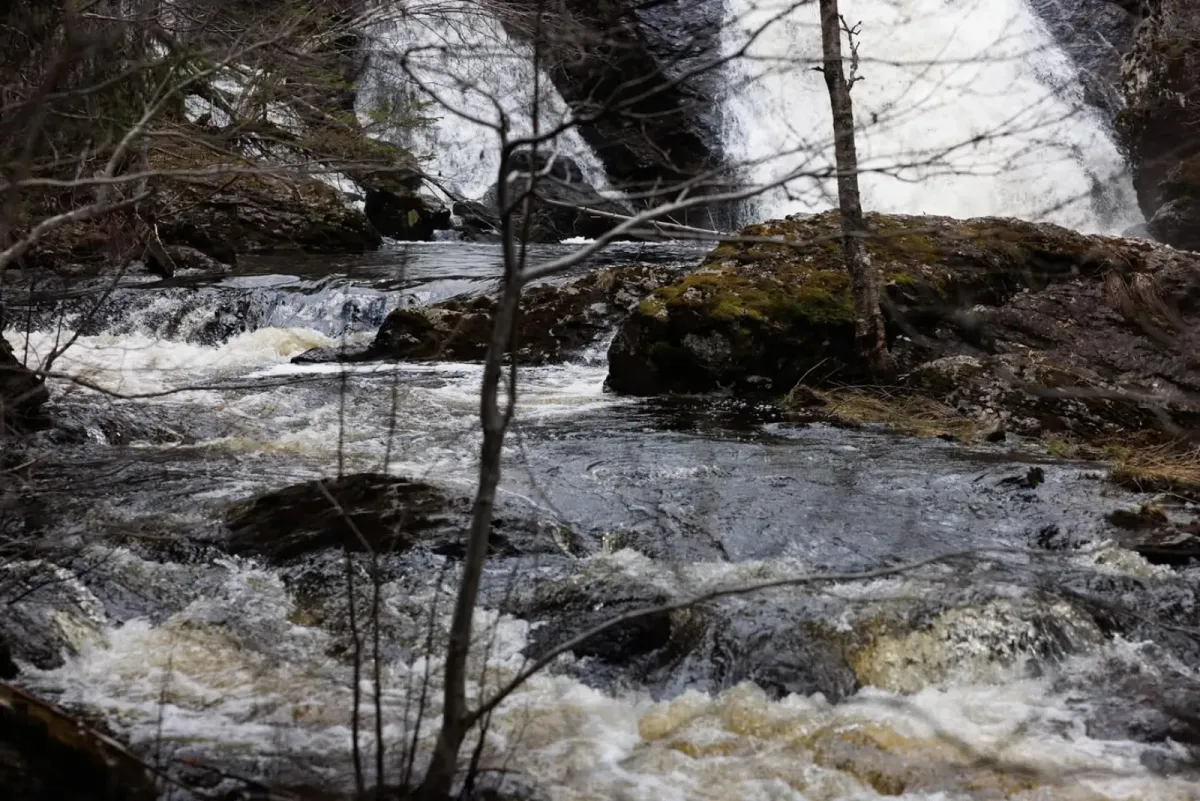

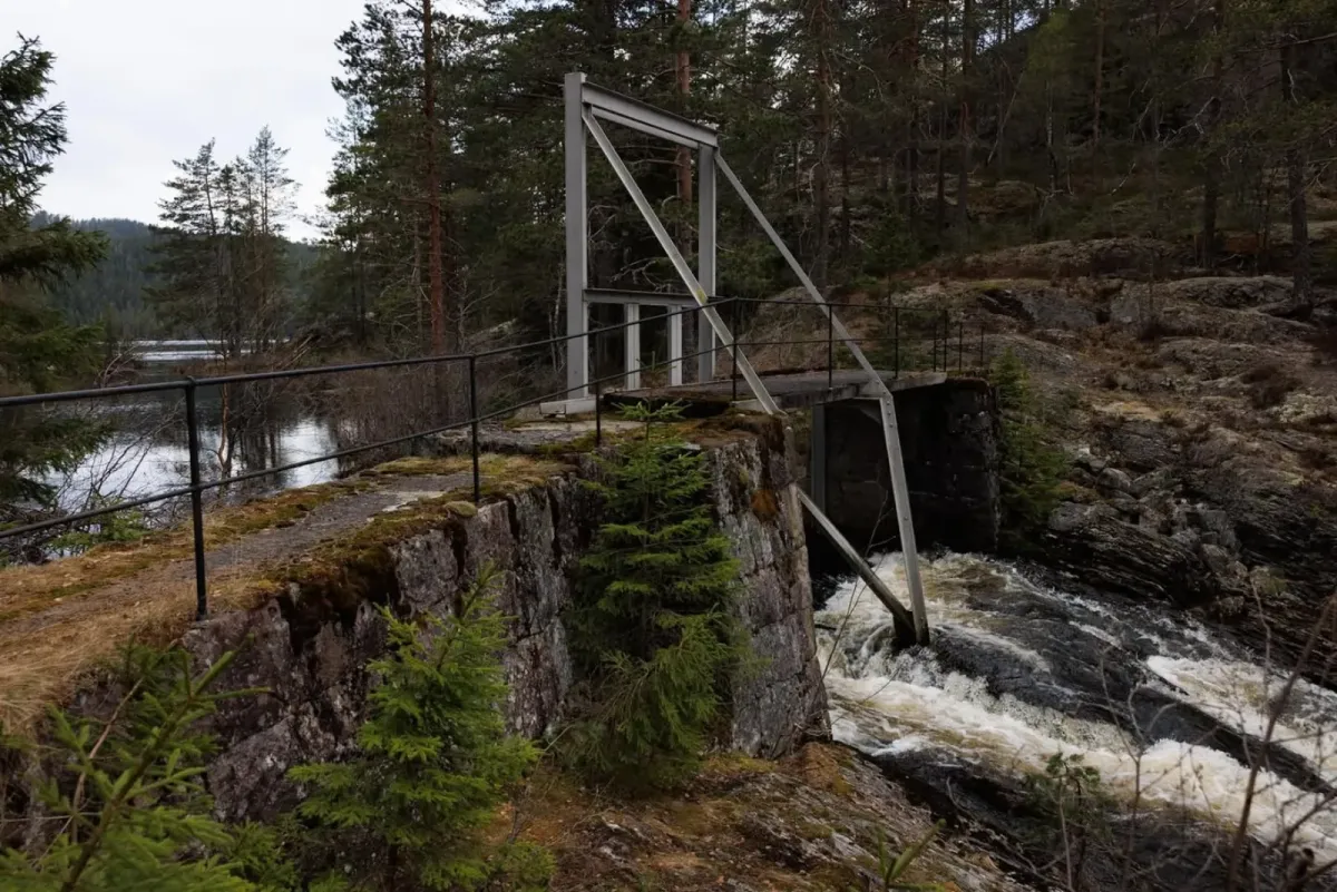
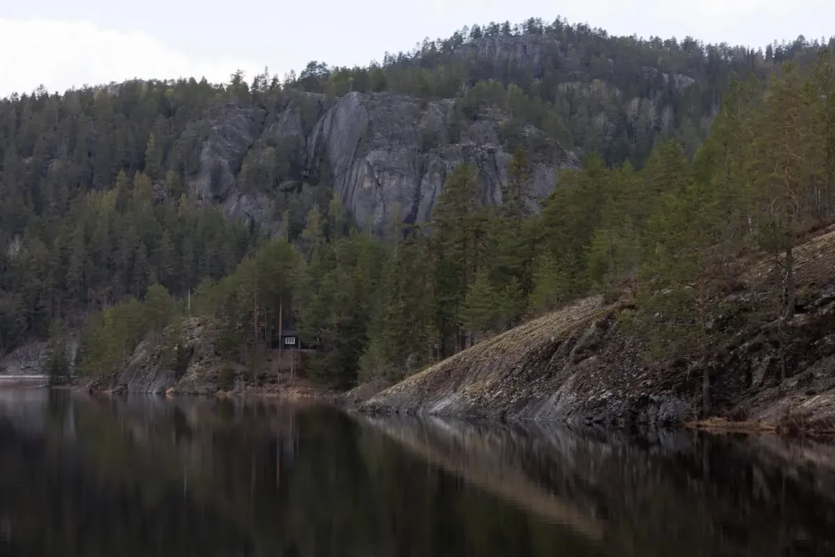
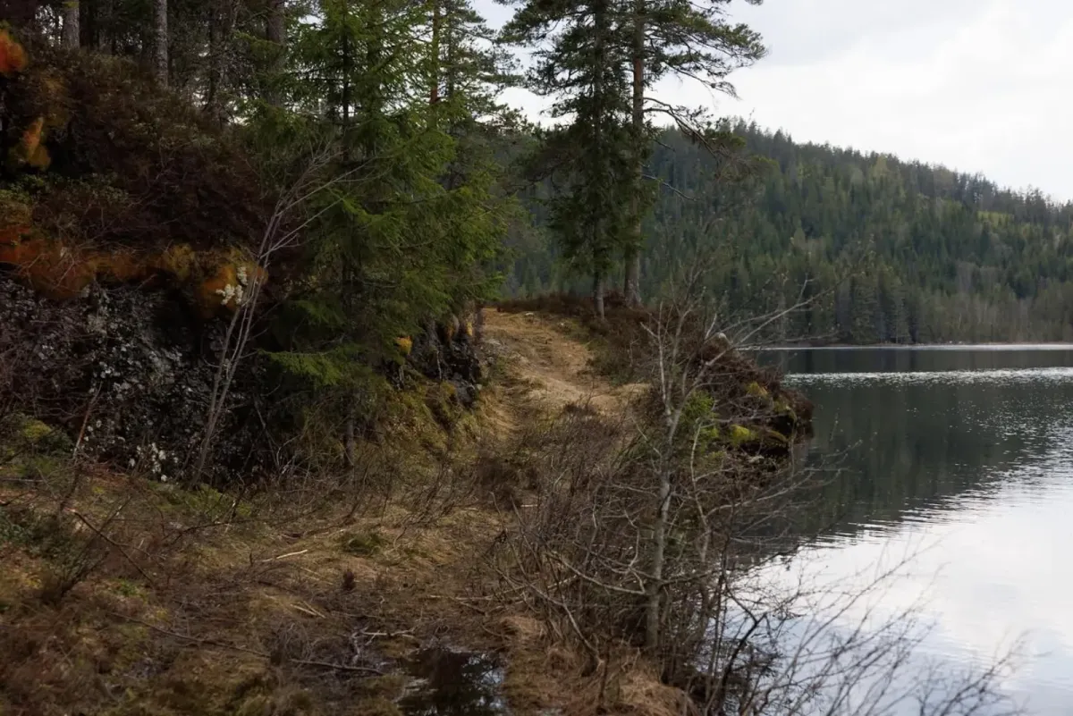

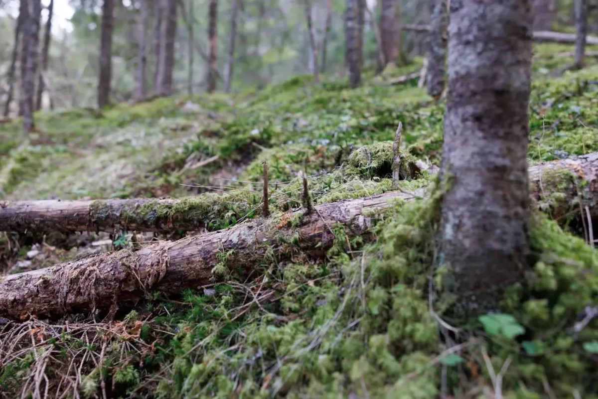
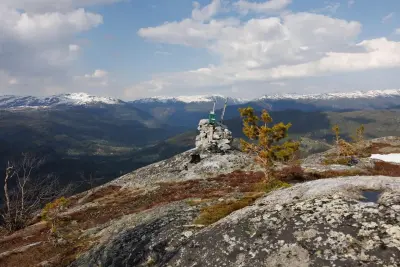

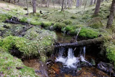
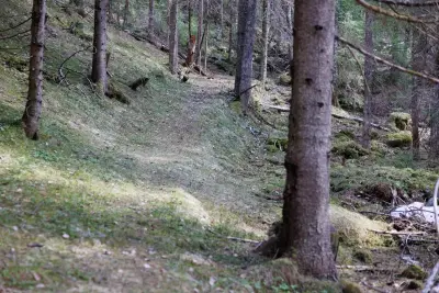
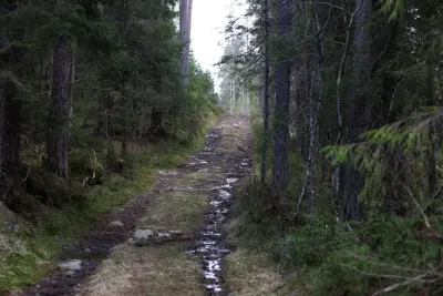
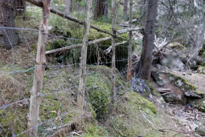
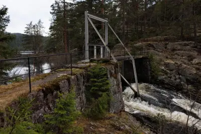
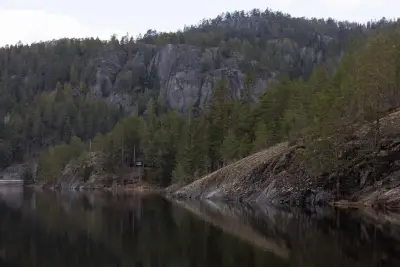

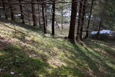
The last time I came back from a trip to Kolltveiteggi, I met a man in a tractor. "I've been travelling," I said. "I hope so, ouch," he said. He added that his legs were no longer up to it and the tractor headed for Heivatn via a private forest road. "Did you see Bjønnehiet, up there?" he said. I didn't know anything about it at the time. But he would have shown me. Olav (Svanheld) at Kolltveit was one of the nicest guys you could know. And so was I. After all, I'm half Brunkeberging. So, this trip went up through Bjønnehilia, starting from the junction/bridge in Åsgrend. It went up along the forest road behind Nyork and Vigdesjå before entering the field at Runningen. From there, it was all uphill. It was grey and at times impassable, with ravines and rotten twists and turns. But it worked. Up on Kolltveiteggi (814 metres above sea level) you can see Hægefjell to the west, Morgedalsfjella to the north, Skorve and the mountains of Seljord to the east and Brokefjell and Seljordheii to the south. In about 2-3 weeks it will be great for hiking here. Today's hike was 11.2 km with an ascent of 733 metres.