Bjørgestigen
Weather forecast
Hentar vêrdata…
Kjelde: Yr.no (Meteorologisk institutt)
Map and route
S Start
M Finish
▲ Highest point
▼ Lowest point
km Main route
km Alternativ rute
↕ m Elevation
About this hike
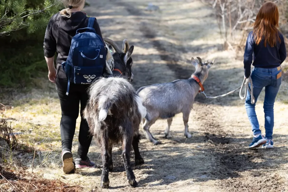
Bjørgestigen - steep and beautiful journey from the farm to the mountain top
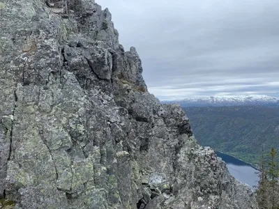
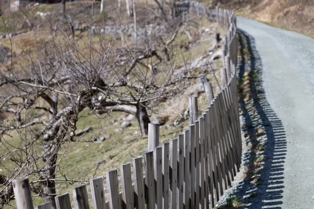
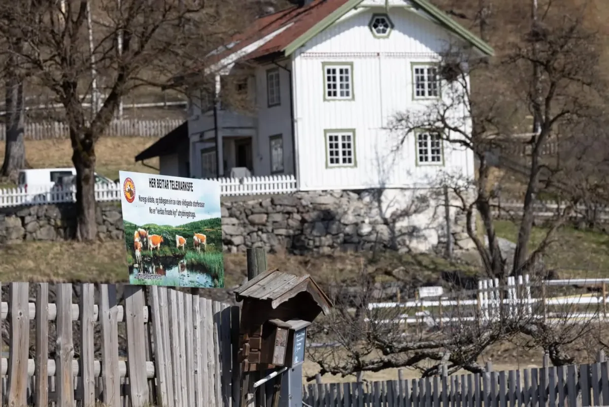
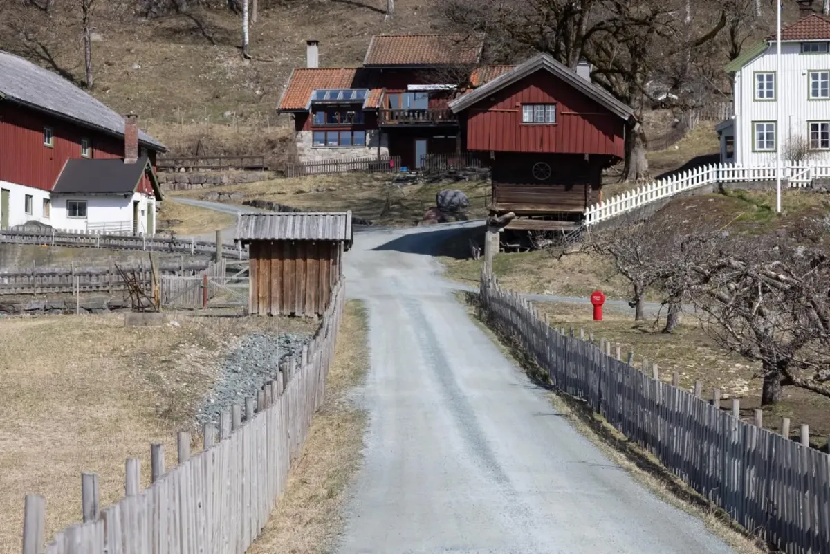
Bjørgestigen is a demanding but very rewarding hiking trail that runs from Nordigard Bjørge all the way up to Bjørgenuten. Here you get a total ascent of 834 vertical meters, from cultural landscapes on the hillside to open mountain terrain with spectacular views.
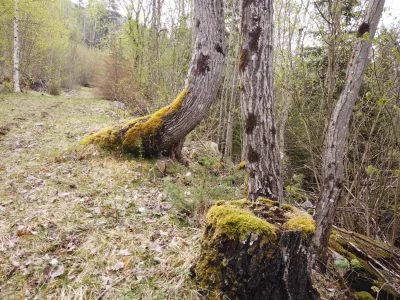
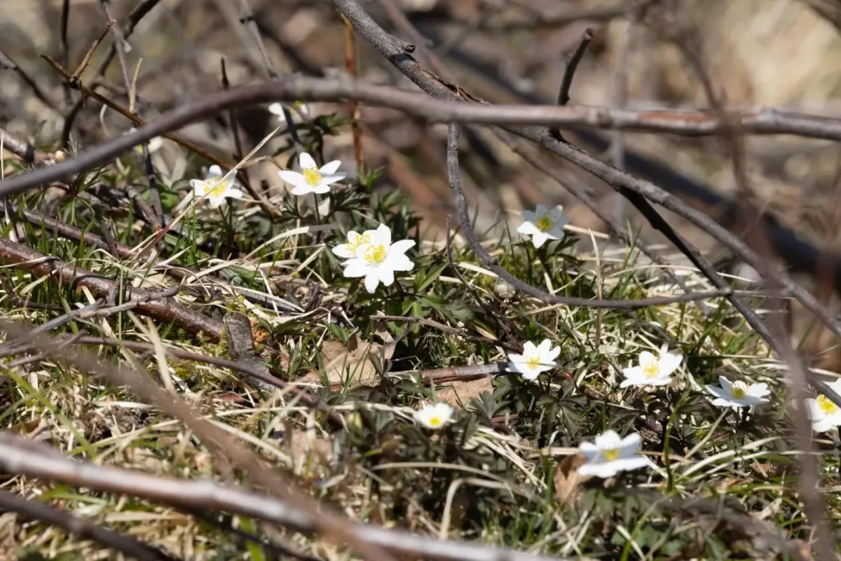
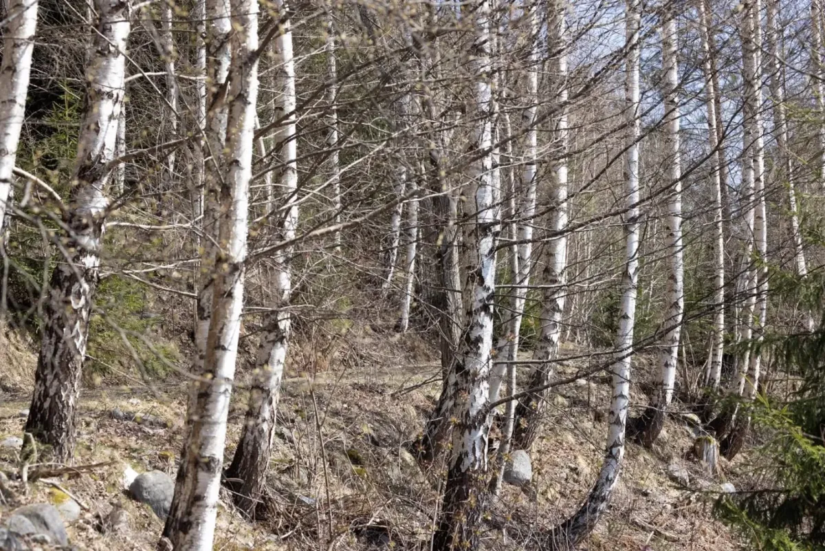
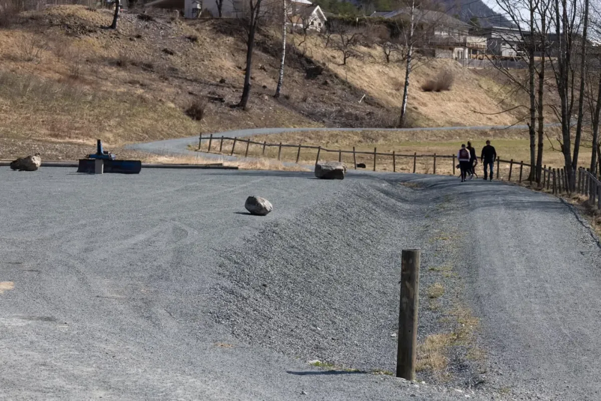
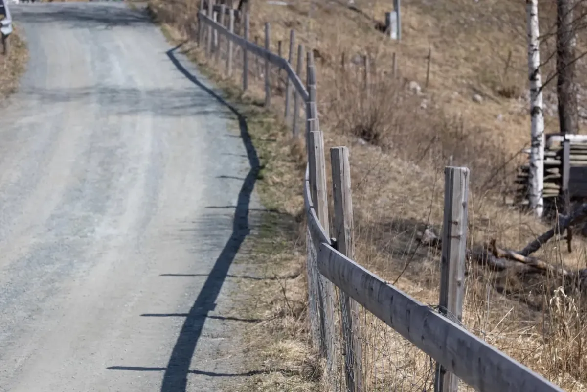
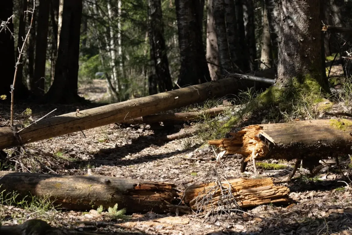
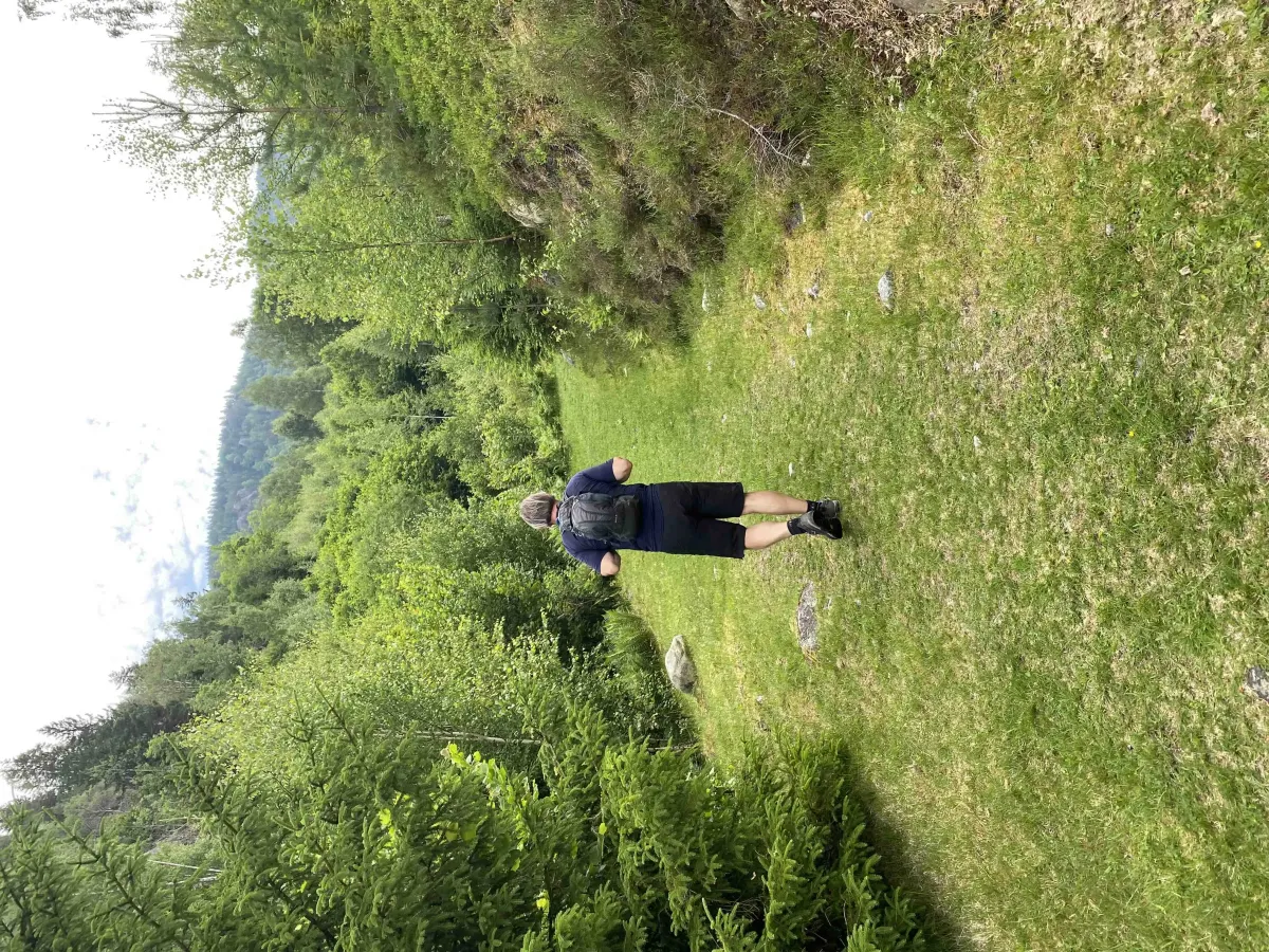
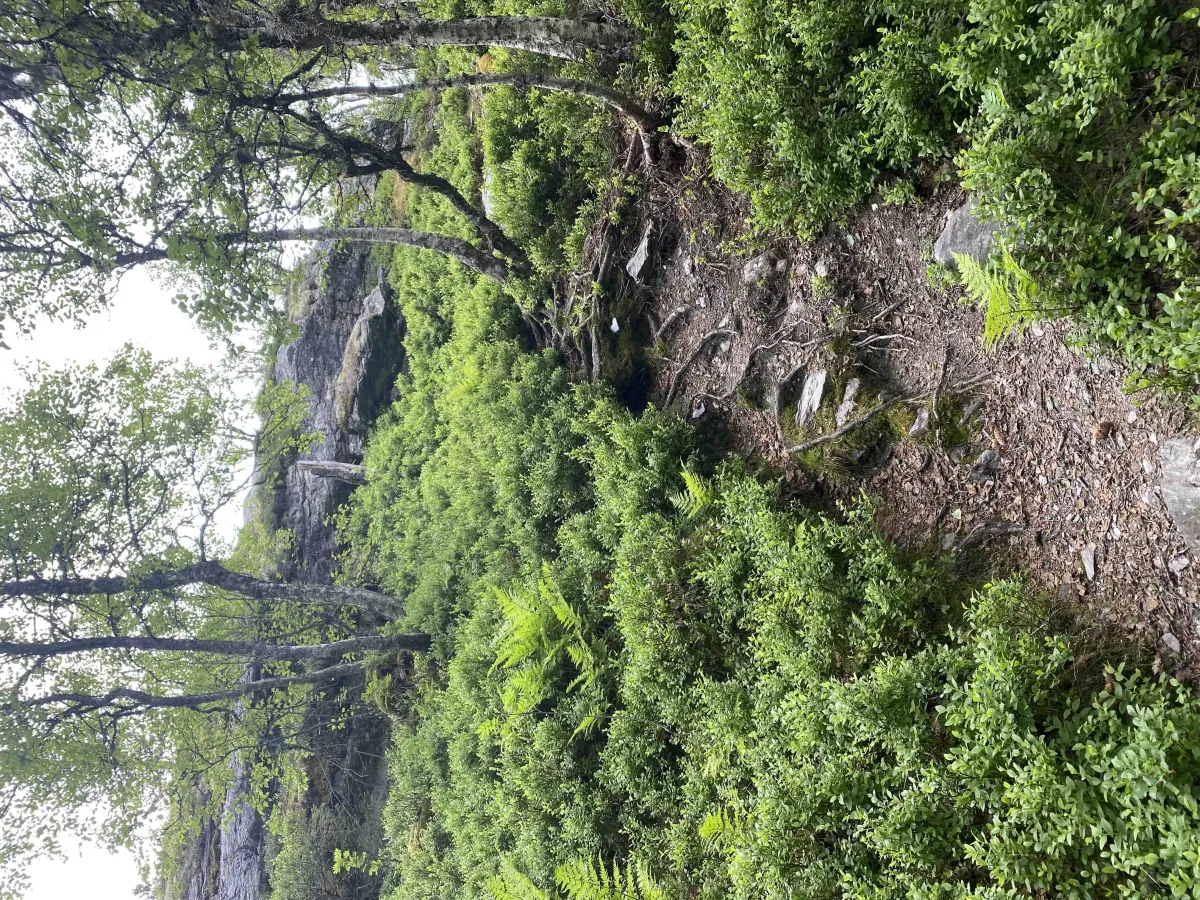
The hike starts right from the farmyard and winds its way up through Bjørgelian, via forest paths and higher mountain sections. Along the way, you'll pass several beautiful viewpoints and experience a good climb from the first step. The trail is well maintained and partly marked, but steep - so take it easy and enjoy both the silence and the nature around you.
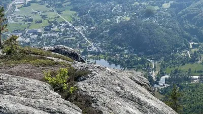
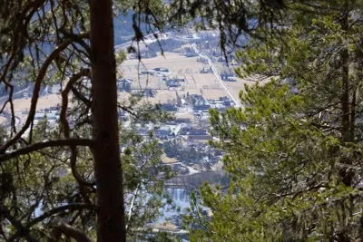
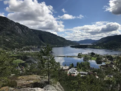
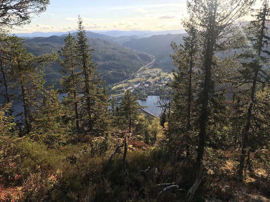
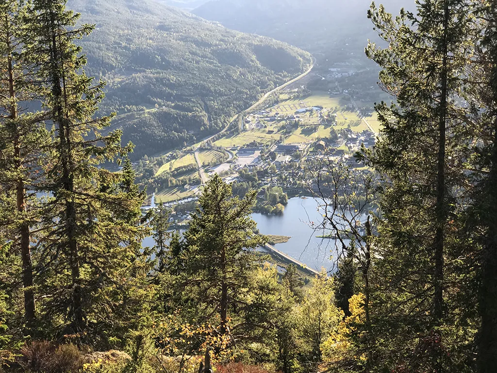
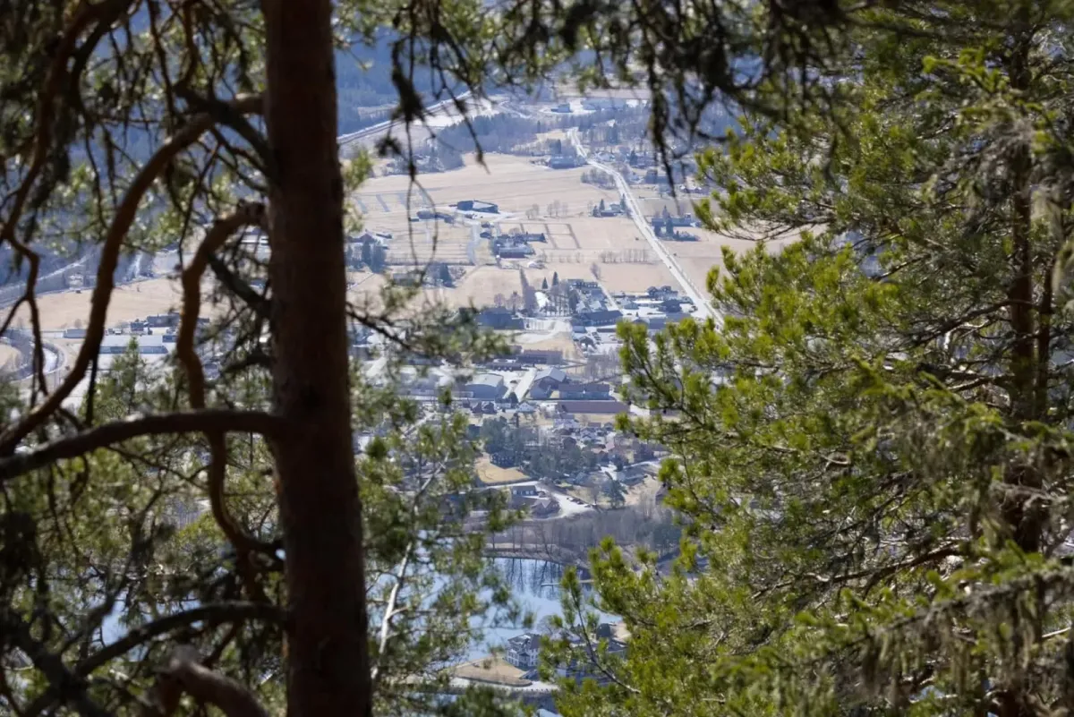
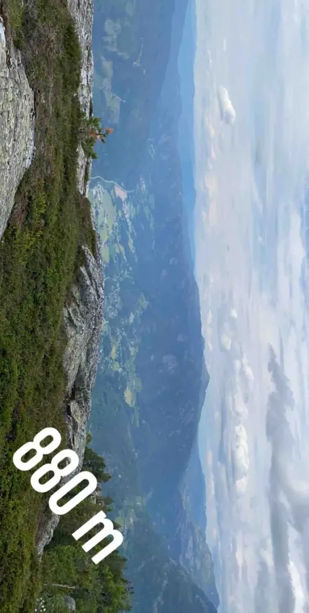
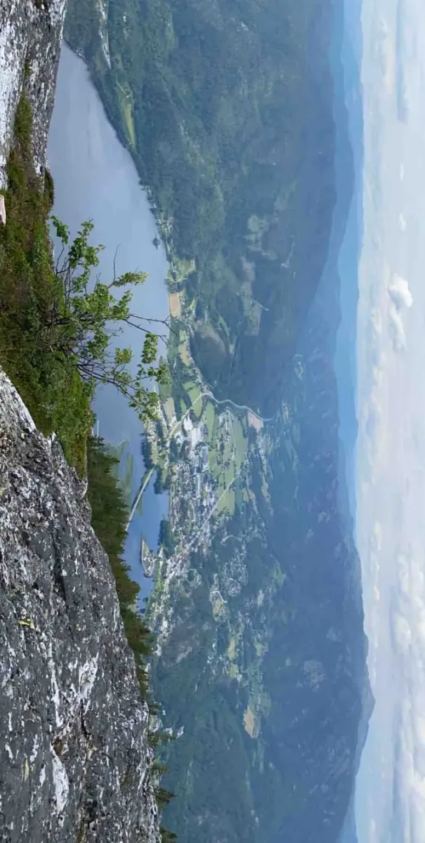
When you reach the top of Bjørgenuten, you'll be greeted by a panoramic view of Seljord town center, Seljordvatnet lake, Skorvefjella and on towards Lifjell. The hike is one of the most complete and direct trails up to Bjørgenuten, and is suitable for hiking enthusiasts who want a good challenge.
Hiking tips:
- Steep hike - wear good shoes and bring plenty of drinks.
- Perfect for those who want to go "from farm to mountain".
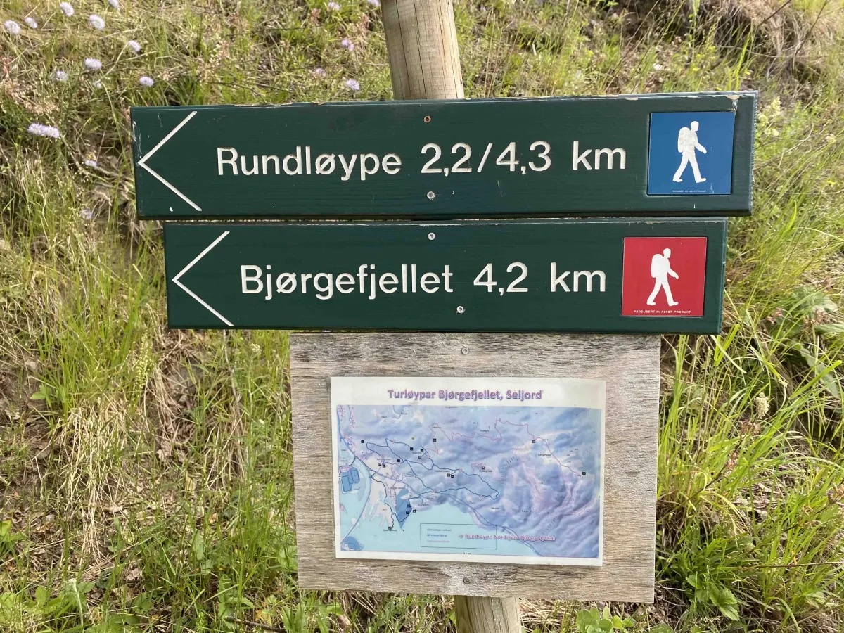
- Can be combined with a round trip down via Borkebudalen and Reinstaul.
Bjørgestigen is a demanding but very rewarding hiking trail that runs from Nordigard Bjørge all the way up to Bjørgenuten. Here you get a total ascent of 834 vertical meters, from cultural landscapes on the hillside to open mountain terrain with spectacular views.
The hike starts right from the farmyard and winds its way up through Bjørgelian, via forest paths and higher mountain sections. Along the way, you'll pass several beautiful viewpoints and experience a good climb from the first step. The trail is well maintained and partly marked, but steep - so take it easy and enjoy both the silence and the nature around you.
When you reach the top of Bjørgenuten, you'll be greeted by a panoramic view of Seljord town center, Seljordvatnet lake, Skorvefjella and on towards Lifjell. The hike is one of the most complete and direct trails up to Bjørgenuten, and is suitable for hiking enthusiasts who want a good challenge.
Hiking tips:
- Steep hike - wear good shoes and bring plenty of drinks.
- Perfect for those who want to go "from farm to mountain".
- Can be combined with a round trip down via Borkebudalen and Reinstaul.
Photos (16)
1 / 16

Videos (1)
Bjørgestigen - turen
User photos (5)
1 / 5
Practical info
- Direction
- tur-retur
- Season
- Summer
- Trail quality
- 3/5
- Solitude
- 4/5
Got any good trail tips?
Seljord
Telemark
fintur.no
Telemark
fintur.no