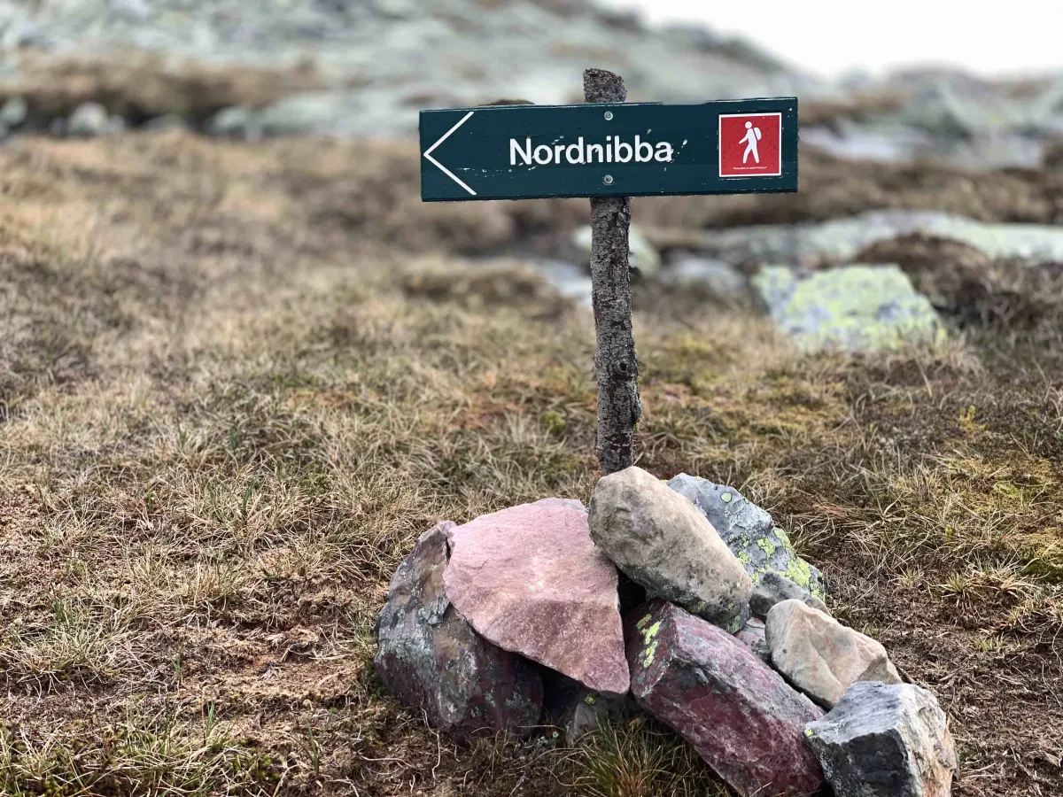
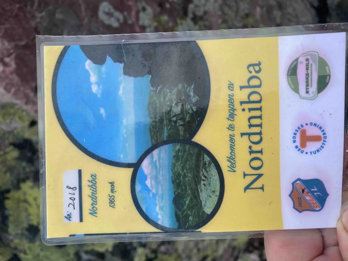
Nordnibba
 T
T
Fee
The road or car park has a fee. Bring small change. Some take cards and Vipps.
Weather forecast
Hentar vêrdata…
Kjelde: Yr.no (Meteorologisk institutt)
Map and route
S Start
M Finish
▲ Highest point
▼ Lowest point
km Main route
↕ m Elevation
About this hike
Nordnibba - a high, airy and powerful peak on the Skorve Plateau
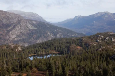
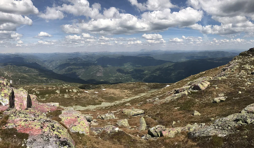
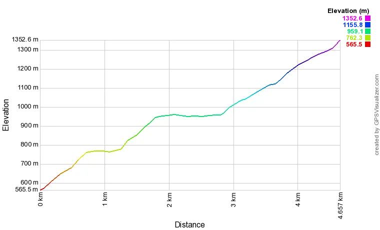
Nordnibba (1365 m) lies majestically at the north end of Skorvefjella, and offers some of the best in the Seljord mountains. This is a hike for those who like long uphill sections, good climbs and breathtaking views - a classic summit hike with lots of variety and several spectacular destinations along the way.
Main route from Kivledalen via Finndalen
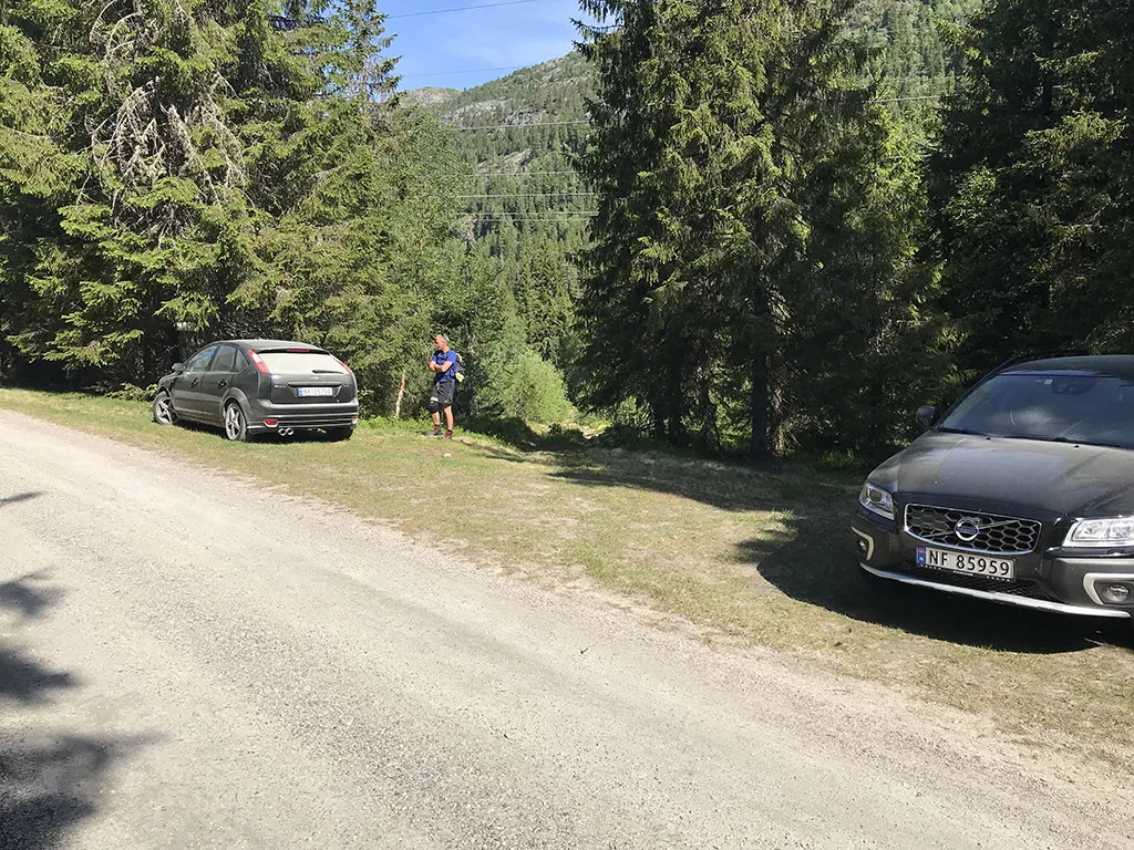
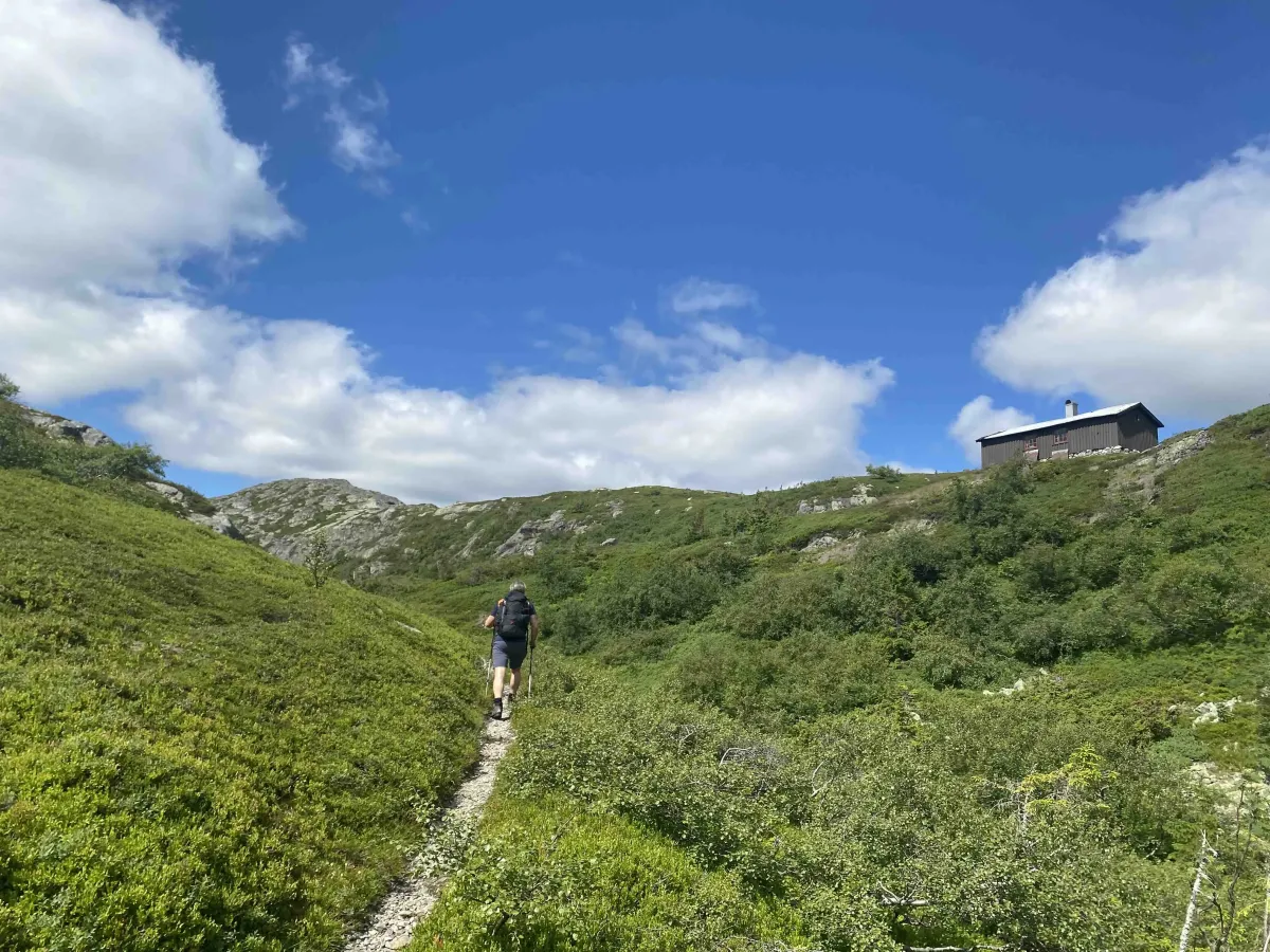
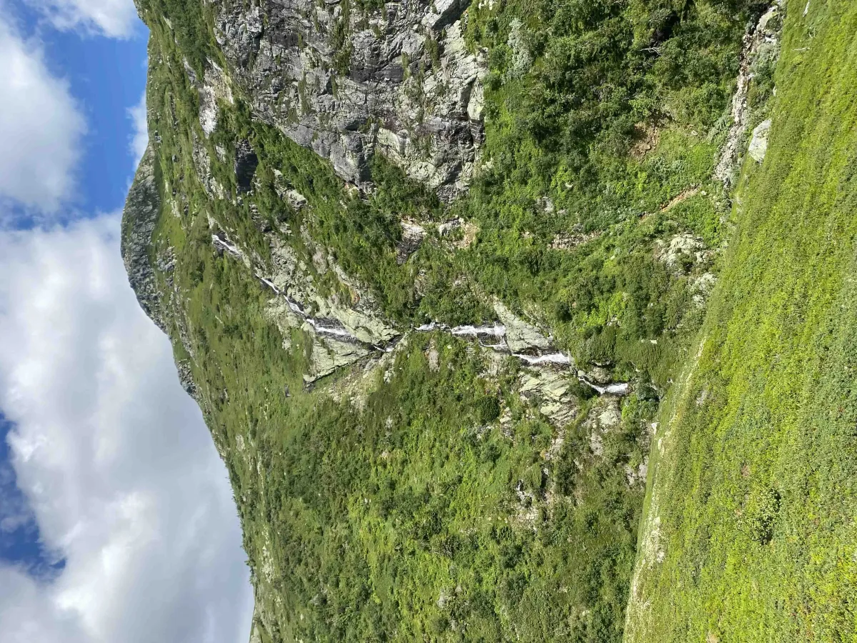
Drive up the Kivledalen valley and park at the junction to Hanakamjuvet. From there, the hike starts with a solid uphill climb up to Høna - an old stable with a history dating back to the days of the war. There are a lot of paths, rocks and smooth rocks here, and you'll get your heart rate up pretty quickly. Don't forget to turn around along the way - the view back towards Kivledalen and Seljordsvatnet is absolutely fantastic.
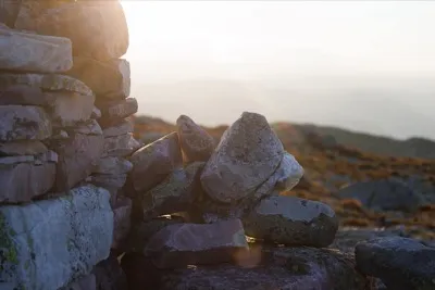
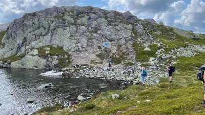
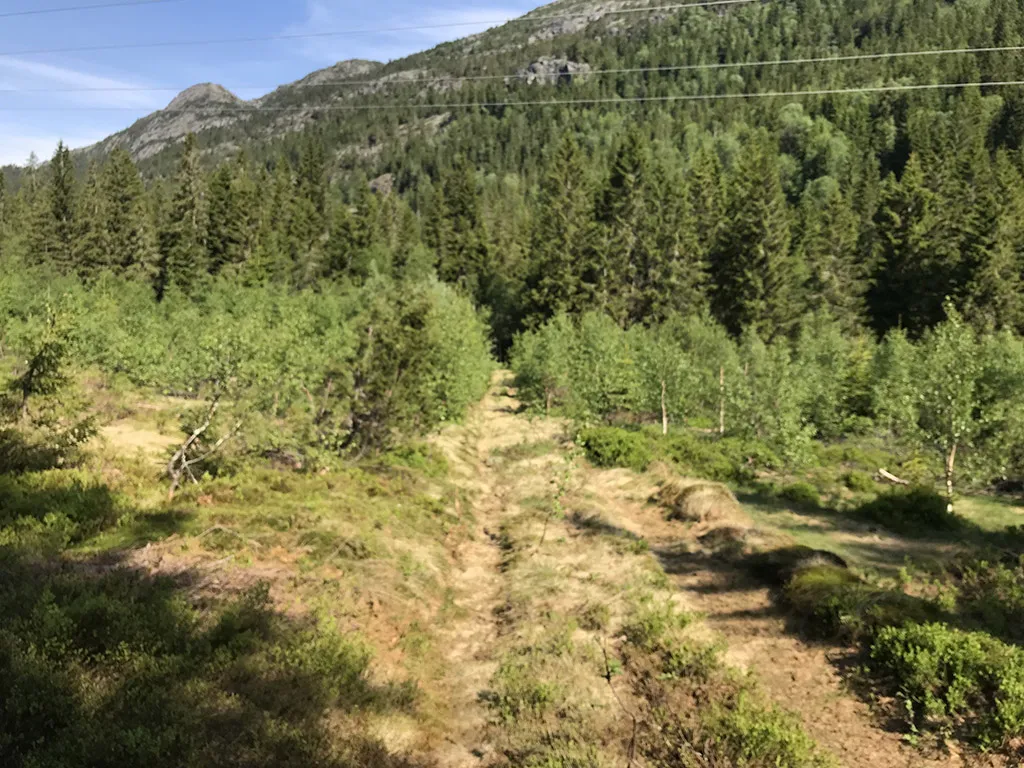
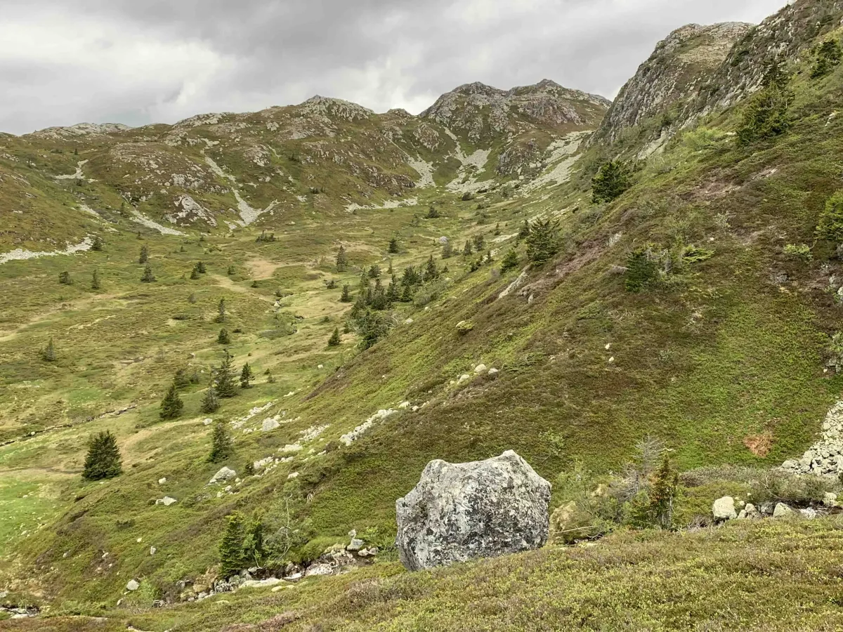
At Høna, you should take a break - not just to catch your breath, but to enjoy what is perhaps one of the most beautiful viewpoints in the whole of Seljord. Then continue on into the narrow and rugged Finndalen - one of the most beautiful valleys in the municipality. You walk a couple of kilometers inwards, through gently rising and crop-rich mountainous terrain, before reaching an old staging post with several visible stone walls and cultural monuments.
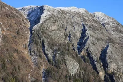
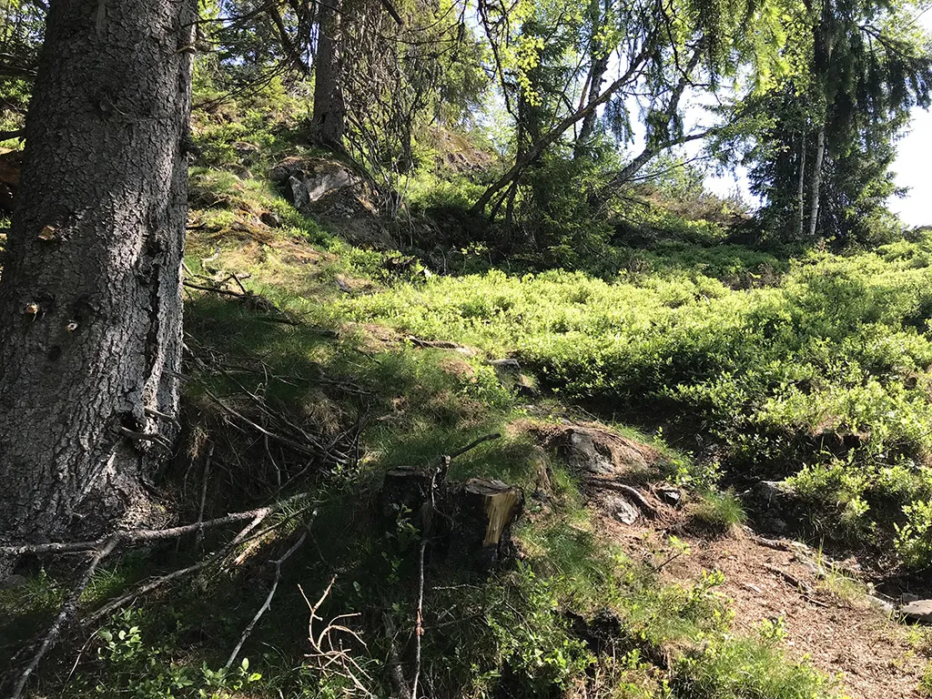
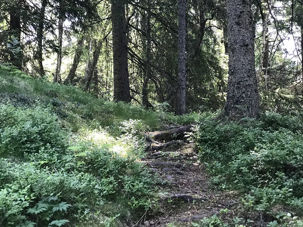
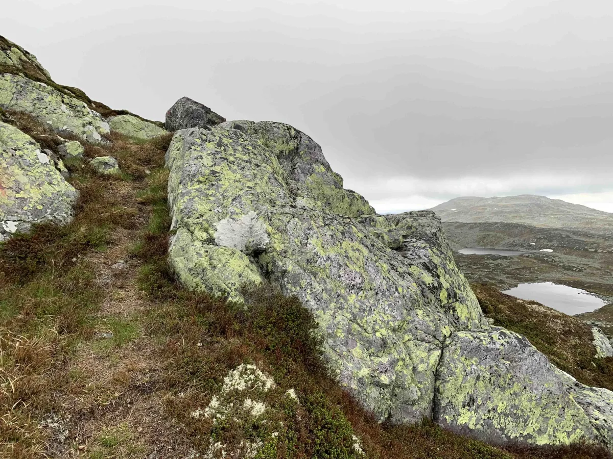
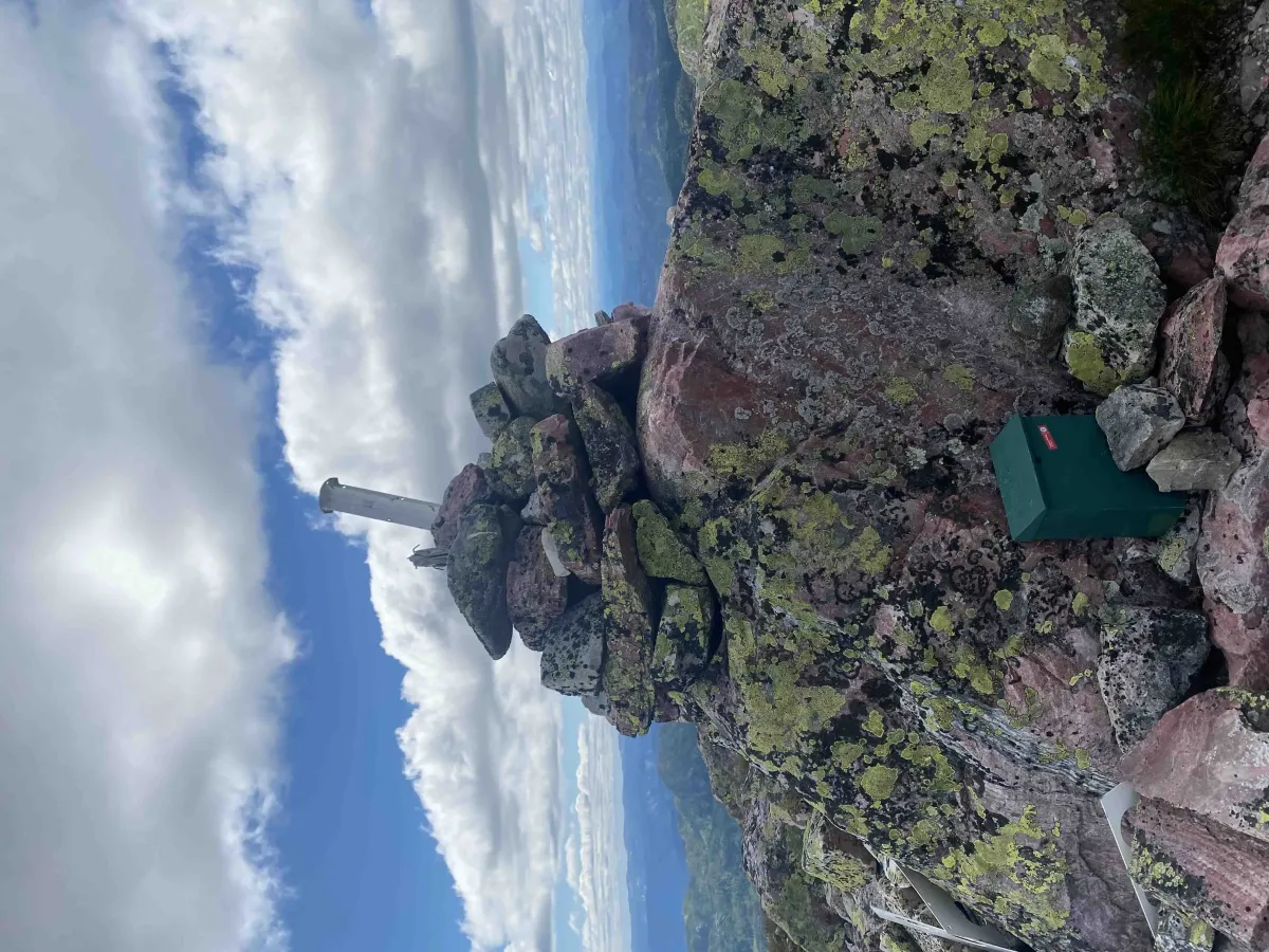
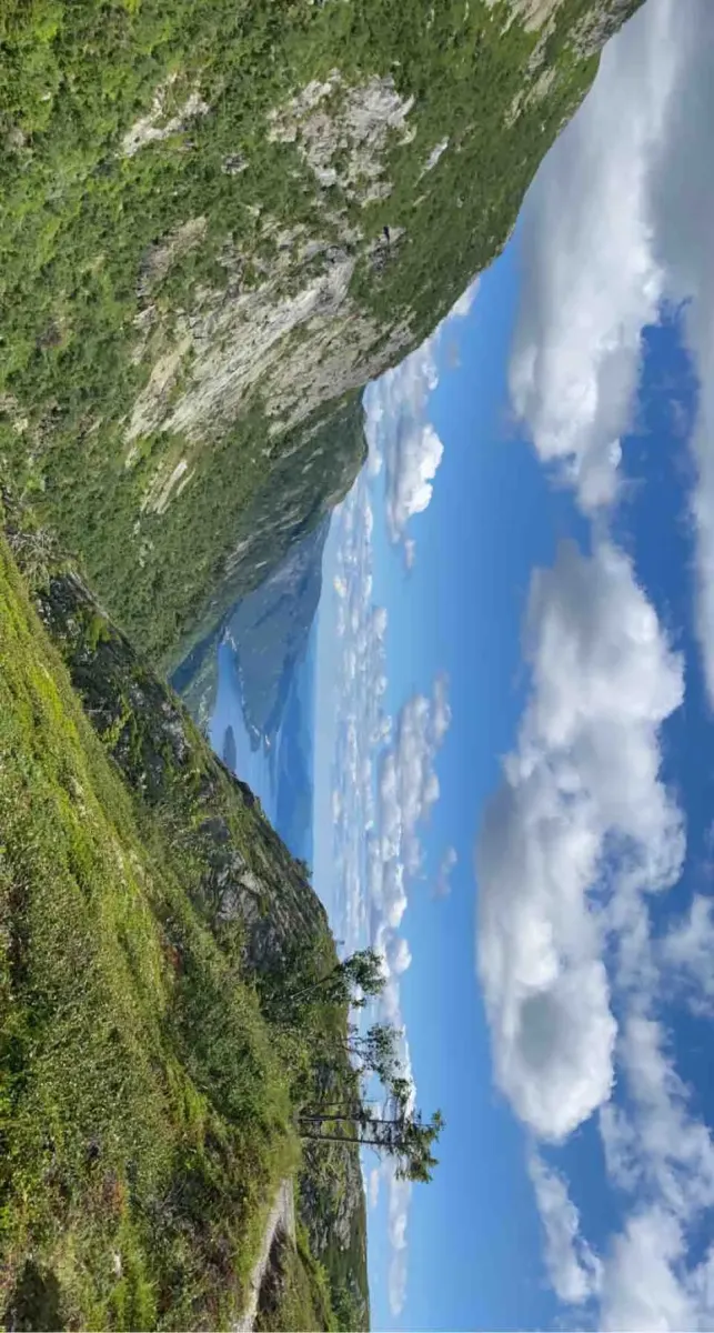
From here you turn off the path and start climbing towards Skorve and Nordnibba. You get close to Hestenutane from below - and from this angle you can really see how alpine and raw the mountain is. The climb further up is steep and demanding. You have to round a groove, go through a stone wall (often with snow until well into early summer), and then you come up on a flat. From there, the last bend is straight up the slope to Nordnibba - 1365 meters above sea level.
At the top, you'll be treated to sweeping views in all directions:
- To the south: Skorvetoppen (1369 meters) and the wide flat mountain ranges.
- To the west: Hestenutane (1281 m) and further across Åmotsdalsheiane.
- To the east: Flatdal, Hjartdalsfjella, and Gaustatoppen in the distance
- To the north: Lifjell and Bjørgenuten
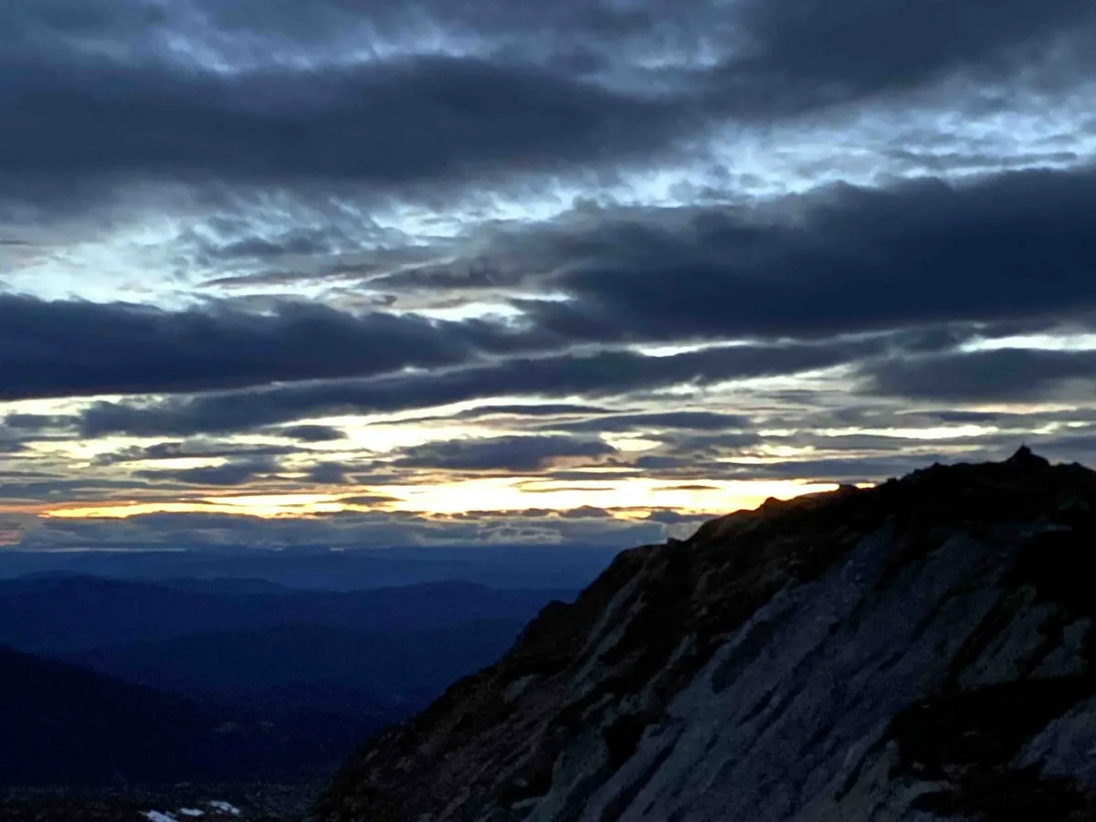
This is a true high-mountain atmosphere, with steep slopes and powerful views in every direction.
Alternative routes:
- From Flatdalsida, via Gjuvland or Speikland.
- From the south, via Gøysen and Skorvetoppen, as a great round trip to Nordnibba
- Combine with Hestenutane for a longer and more demanding day trip
Facts about the hike from Kivledalen:
- Length: Approx. 12-14 km round trip
- Ascent: Over 1000 vertical meters
- Level: Demanding - for experienced and mountain water
- Surface: Path, clock, rock and open mountain terrain
- Time: 5-7 hours, depending on pace and breaks
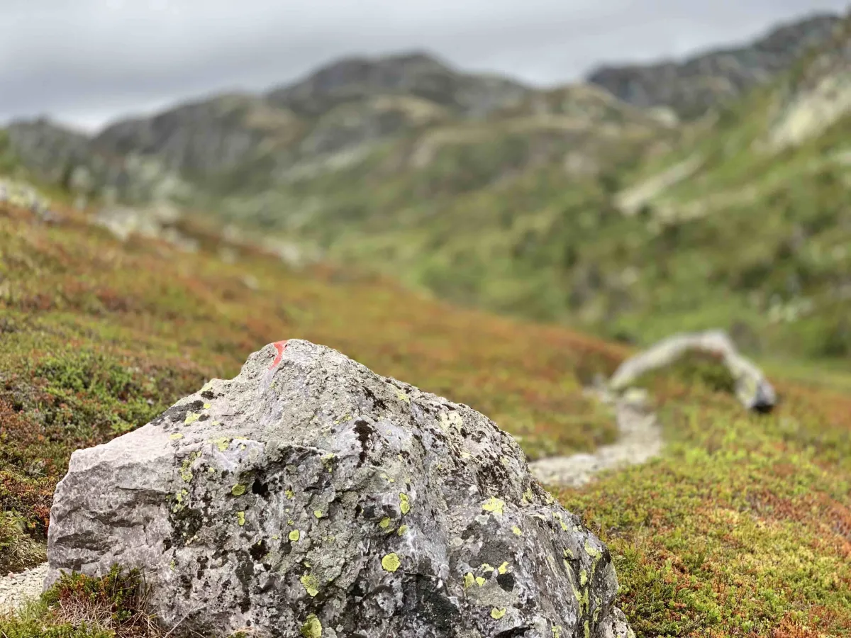
- Marking: Well marked all the way
Hiking tips:
- Good hiking boots and a windbreaker are a must - it can be very windy at the top.
- Use a map or GPS - there are several trails and open sections
- The hike can be demanding in the heat - bring enough water
- Ideal as part of a tour of the entire Skorve plateau
Nordnibba (1365 m) lies majestically at the north end of Skorvefjella, and offers some of the best in the Seljord mountains. This is a hike for those who like long uphill sections, good climbs and breathtaking views - a classic summit hike with lots of variety and several spectacular destinations along the way.
Main route from Kivledalen via Finndalen
Drive up the Kivledalen valley and park at the junction to Hanakamjuvet. From there, the hike starts with a solid uphill climb up to Høna - an old stable with a history dating back to the days of the war. There are a lot of paths, rocks and smooth rocks here, and you'll get your heart rate up pretty quickly. Don't forget to turn around along the way - the view back towards Kivledalen and Seljordsvatnet is absolutely fantastic.
At Høna, you should take a break - not just to catch your breath, but to enjoy what is perhaps one of the most beautiful viewpoints in the whole of Seljord. Then continue on into the narrow and rugged Finndalen - one of the most beautiful valleys in the municipality. You walk a couple of kilometers inwards, through gently rising and crop-rich mountainous terrain, before reaching an old staging post with several visible stone walls and cultural monuments.
From here you turn off the path and start climbing towards Skorve and Nordnibba. You get close to Hestenutane from below - and from this angle you can really see how alpine and raw the mountain is. The climb further up is steep and demanding. You have to round a groove, go through a stone wall (often with snow until well into early summer), and then you come up on a flat. From there, the last bend is straight up the slope to Nordnibba - 1365 meters above sea level.
At the top, you'll be treated to sweeping views in all directions:
- To the south: Skorvetoppen (1369 meters) and the wide flat mountain ranges.
- To the west: Hestenutane (1281 m) and further across Åmotsdalsheiane.
- To the east: Flatdal, Hjartdalsfjella, and Gaustatoppen in the distance
- To the north: Lifjell and Bjørgenuten
This is a true high-mountain atmosphere, with steep slopes and powerful views in every direction.
Alternative routes:
- From Flatdalsida, via Gjuvland or Speikland.
- From the south, via Gøysen and Skorvetoppen, as a great round trip to Nordnibba
- Combine with Hestenutane for a longer and more demanding day trip
Facts about the hike from Kivledalen:
- Length: Approx. 12-14 km round trip
- Ascent: Over 1000 vertical meters
- Level: Demanding - for experienced and mountain water
- Surface: Path, clock, rock and open mountain terrain
- Time: 5-7 hours, depending on pace and breaks
- Marking: Well marked all the way
Hiking tips:
- Good hiking boots and a windbreaker are a must - it can be very windy at the top.
- Use a map or GPS - there are several trails and open sections
- The hike can be demanding in the heat - bring enough water
- Ideal as part of a tour of the entire Skorve plateau
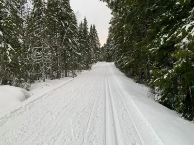
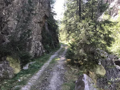
Photos (5)
1 / 5
Videos (2)
Nordnibba - turen opp
Nordnibba - toppen
User photos (12)
1 / 12
Practical info
- Direction
- tur-retur
- Season
- Summer
- Trail quality
- 3/5
- Solitude
- 5/5
Got any good trail tips?
Seljord
Telemark
fintur.no
Telemark
fintur.no