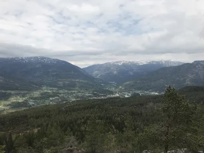
Raudkleiv
Weather forecast
Hentar vêrdata…
Kjelde: Yr.no (Meteorologisk institutt)
Map and route
S Start
M Finish
▲ Highest point
▼ Lowest point
km Main route
↕ m Elevation
About this hike
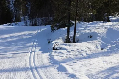
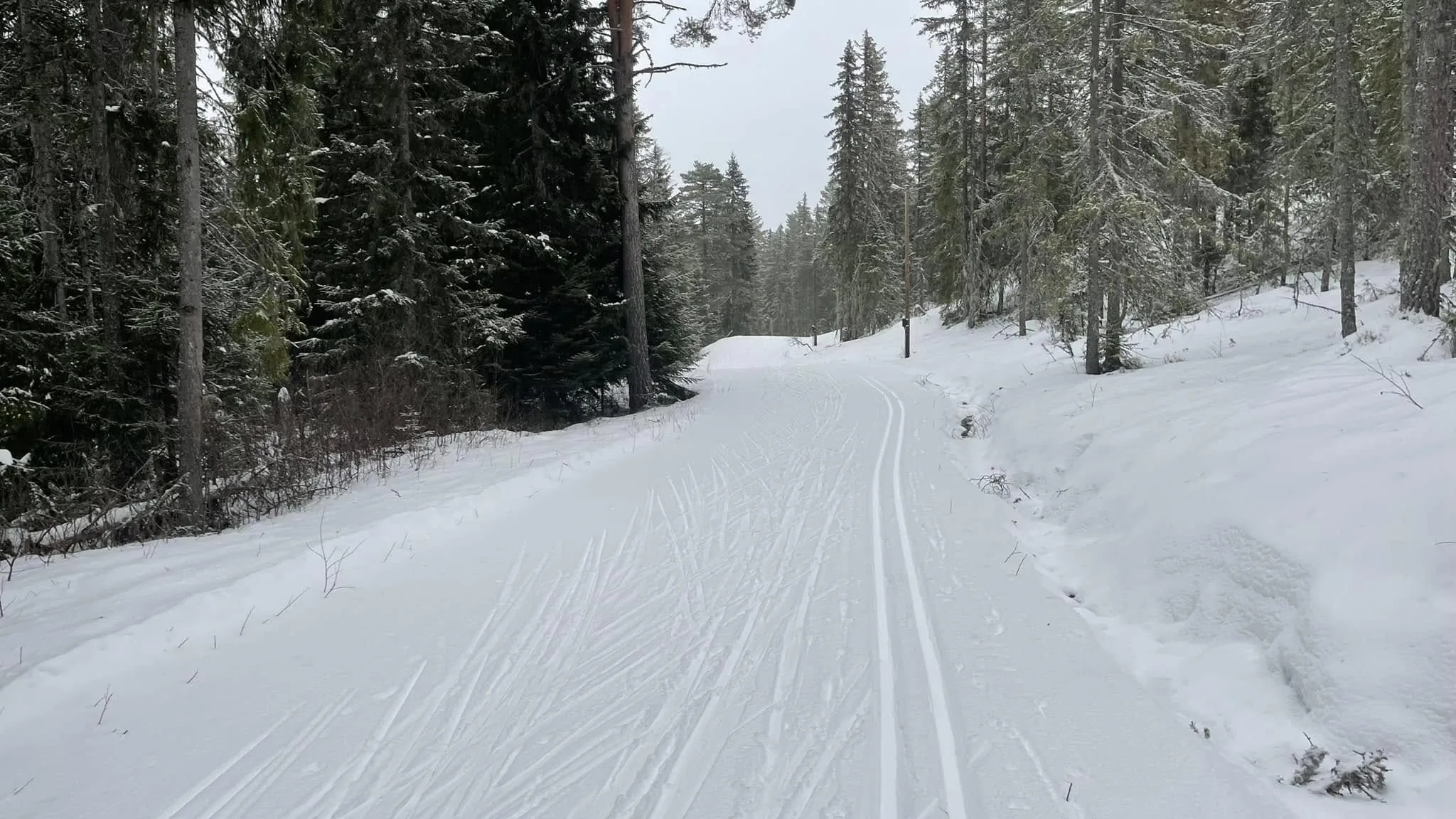
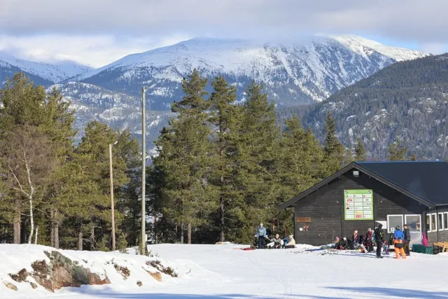
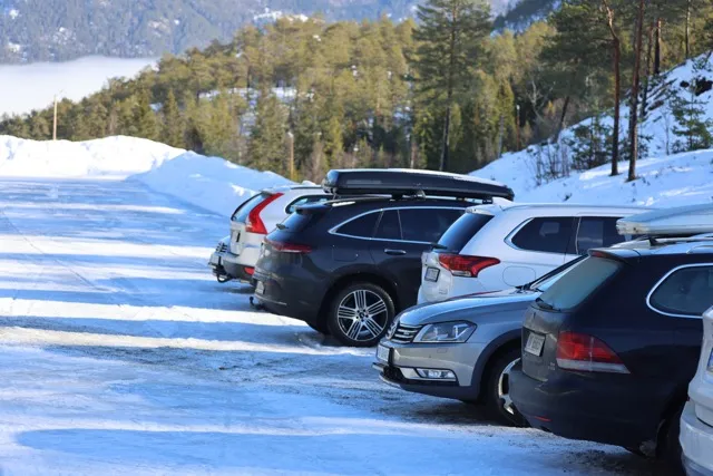
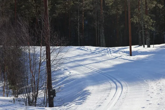
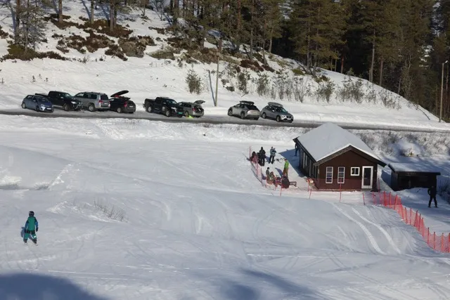
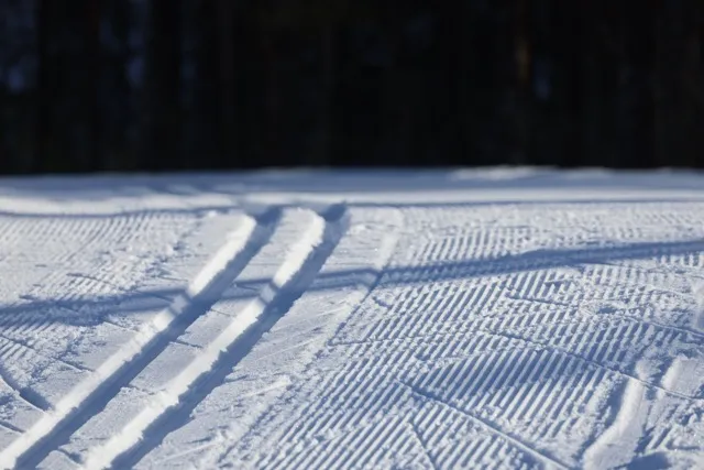
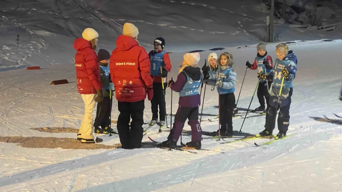
Raudkleiv ski resort. "We're lucky enough to have good training ski facilities in addition to the hiking trails. It's easy to get up here, easy to park and it can be easy or hard to walk. If you choose a full lap, it's tough. If you choose the short trail (the part towards Langvenda and the last part of the trail), it's easy. There is now parking right at the top, so this is a facility for everyone. Soon the alpine slope will be up and running. It lacks 20-30 cm of snow. Raukleiv is great even if the sun is not shining. If you do a lap around all the loops, you have a track of just under 4 km. 30-50 min. Good family ski trip or evening session for the trimmer.
Photos (6)
1 / 6

User photos (1)
Practical info
- Direction
- rundtur
- Season
- Winter
- Trail quality
- 5/5
- Solitude
- 3/5
- Copyright
- © Hans Inge
Got any good trail tips?
Seljord
Telemark
fintur.no
Telemark
fintur.no