Svafjell
Fee
The road or car park has a fee. Bring small change. Some take cards and Vipps.
Weather forecast
Hentar vêrdata…
Kjelde: Yr.no (Meteorologisk institutt)
Map and route
S Start
M Finish
▲ Highest point
▼ Lowest point
km Main route
↕ m Elevation
About this hike
Brattefjell (1540 m) and Svafjell (1406 m).
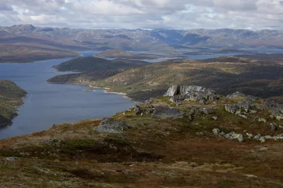
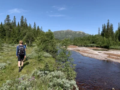
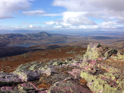
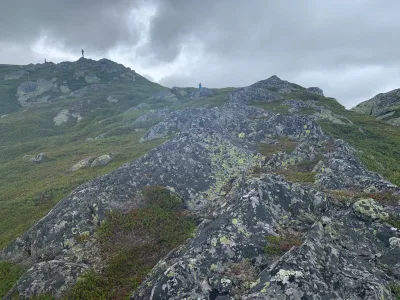
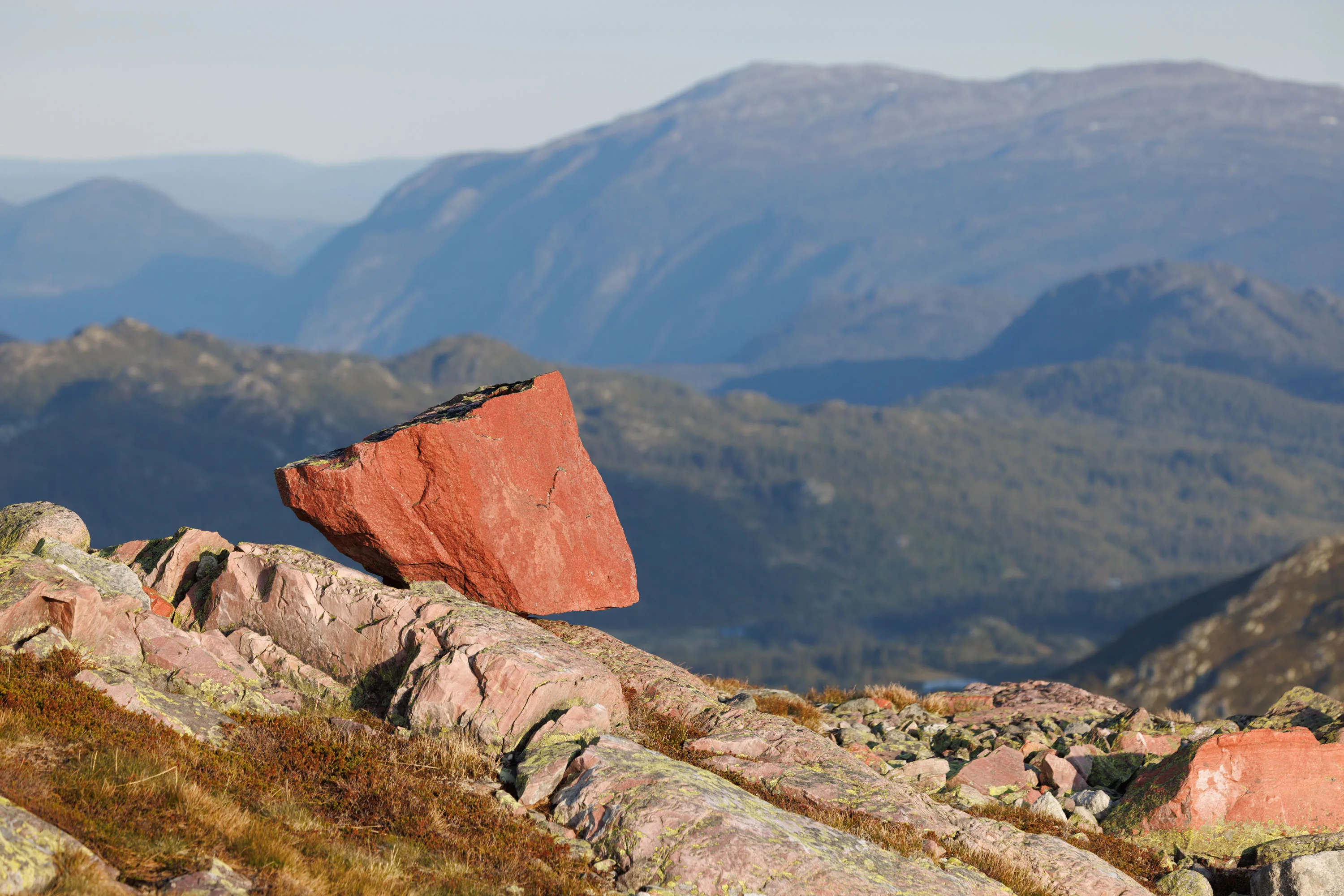
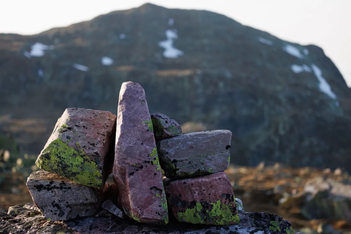
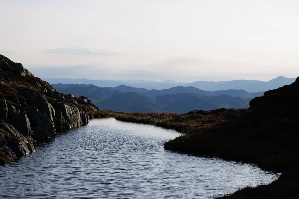
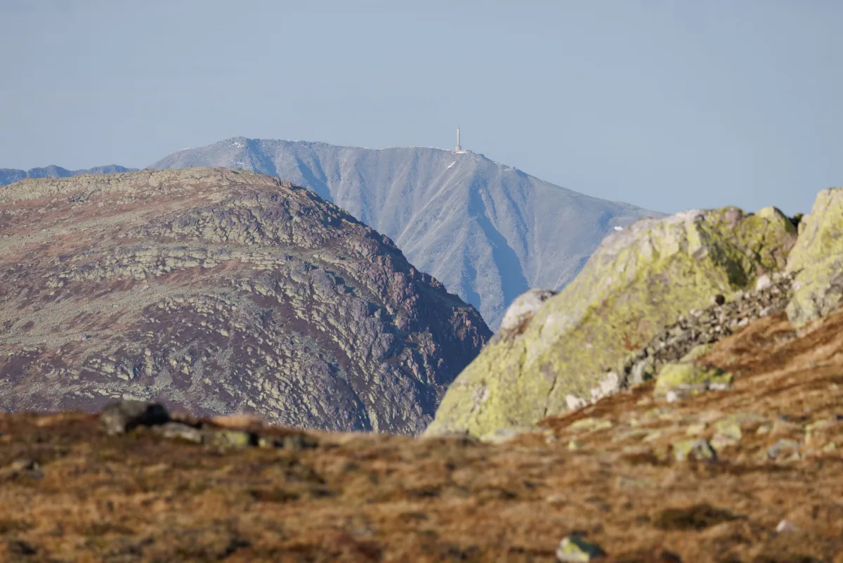
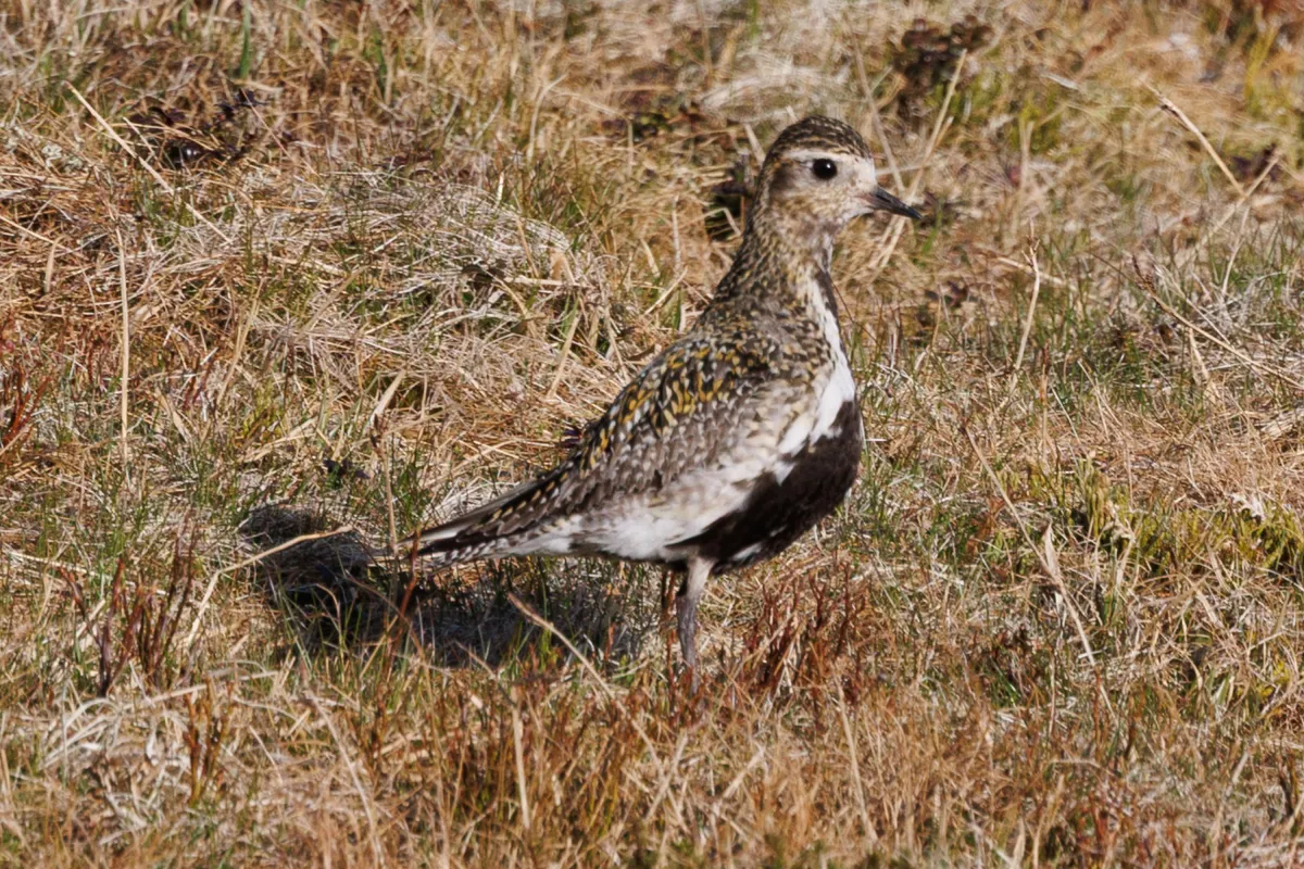
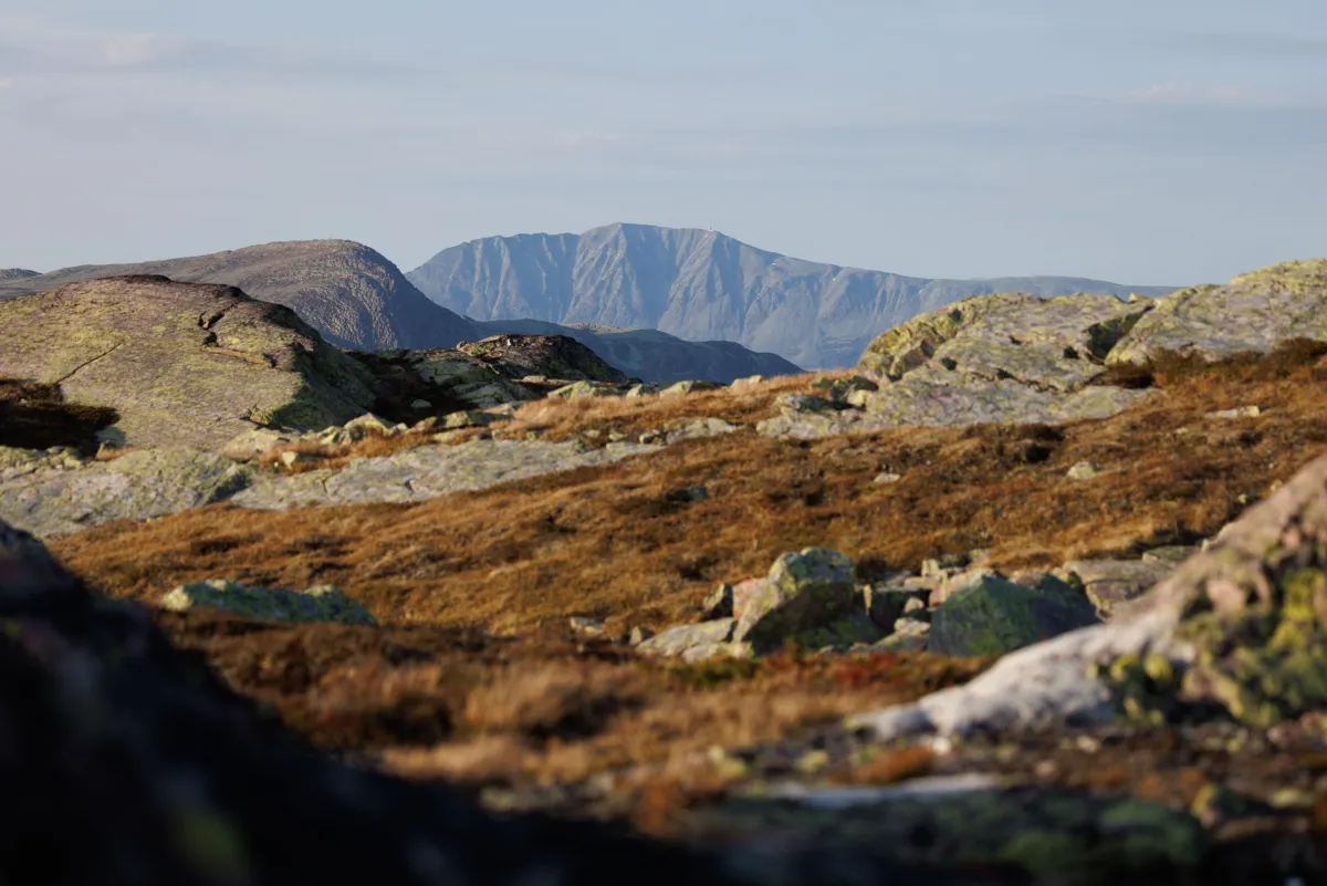
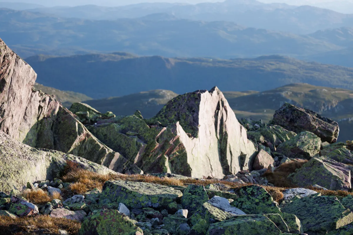
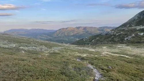
Walking in this landscape in the Brattefjell/Vindeegen nature conservation area is pure luxury. When the heat is on and the sun doesn't want to set, it's extra special. Without mosquitoes and a bit of wind is something you prefer. This trip went from Småtjønn (at the end of Heiåivegen) and towards Svain. It's a 5.5 km flat walk along Heiåi. Stream rushes and birds chirping. Once you get to Svain and Steinstaulen, the path climbs steeply towards Geitekyrkja, where you begin the difficult climb to the top. There are no less than 400 vertical meters to work with. On the way up, you should look back and enjoy the view of Vindeggen and Gaustatoppen. Robakk and Mefjell. Breathtakingly beautiful. Almost a little too national romantic at times. Up at the top of Brattefjell, at 1540 meters, there is a plateau with a lot of rudstone. Full views in all directions. And Seljord municipality's highest point. The hike back went via Svafjellet, which reaches 1400 meters. Lots of rocks and beautiful hilly valleys. Good views down into the beautiful Grotvassdalen valley. One points to Geitekyrkja (Storstein down there) and walks in free terrain down towards it. From there it is 8 km back. Total length 24 km with over 1000 meters of ascent. You need to allow 6-8 hours for this long walk. A good goal for your vacation.
Walking in this landscape in the Brattefjell/Vindeegen nature conservation area is pure luxury. When the heat is on and the sun doesn't want to set, it's extra special. Without mosquitoes and a bit of wind is something you prefer. This trip went from Småtjønn (at the end of Heiåivegen) and towards Svain. It's a 5.5 km flat walk along Heiåi. Stream rushes and birds chirping. Once you get to Svain and Steinstaulen, the path climbs steeply towards Geitekyrkja, where you begin the difficult climb to the top. There are no less than 400 vertical meters to work with. On the way up, you should look back and enjoy the view of Vindeggen and Gaustatoppen. Robakk and Mefjell. Breathtakingly beautiful. Almost a little too national romantic at times. Up at the top of Brattefjell, at 1540 meters, there is a plateau with a lot of rudstone. Full views in all directions. And Seljord municipality's highest point. The hike back went via Svafjellet, which reaches 1400 meters. Lots of rocks and beautiful hilly valleys. Good views down into the beautiful Grotvassdalen valley. One points to Geitekyrkja (Storstein down there) and walks in free terrain down towards it. From there it is 8 km back. Total length 24 km with over 1000 meters of ascent. You need to allow 6-8 hours for this long walk. A good goal for your vacation.
Photos (7)
1 / 7
Videos (1)
Brattefjell og Svafjell tur
User photos (2)
1 / 2

Practical info
- Direction
- tur-retur
- Season
- Summer
- Trail quality
- 3/5
- Solitude
- 8/5
Got any good trail tips?
Åmotsdal
Telemark
fintur.no
Telemark
fintur.no