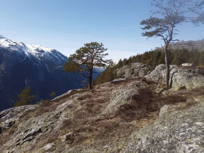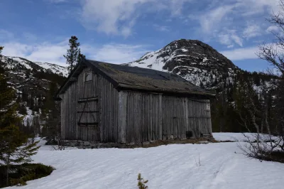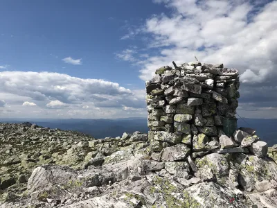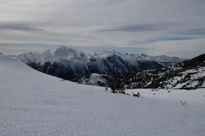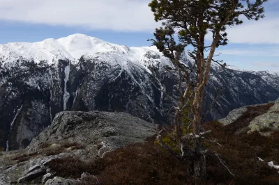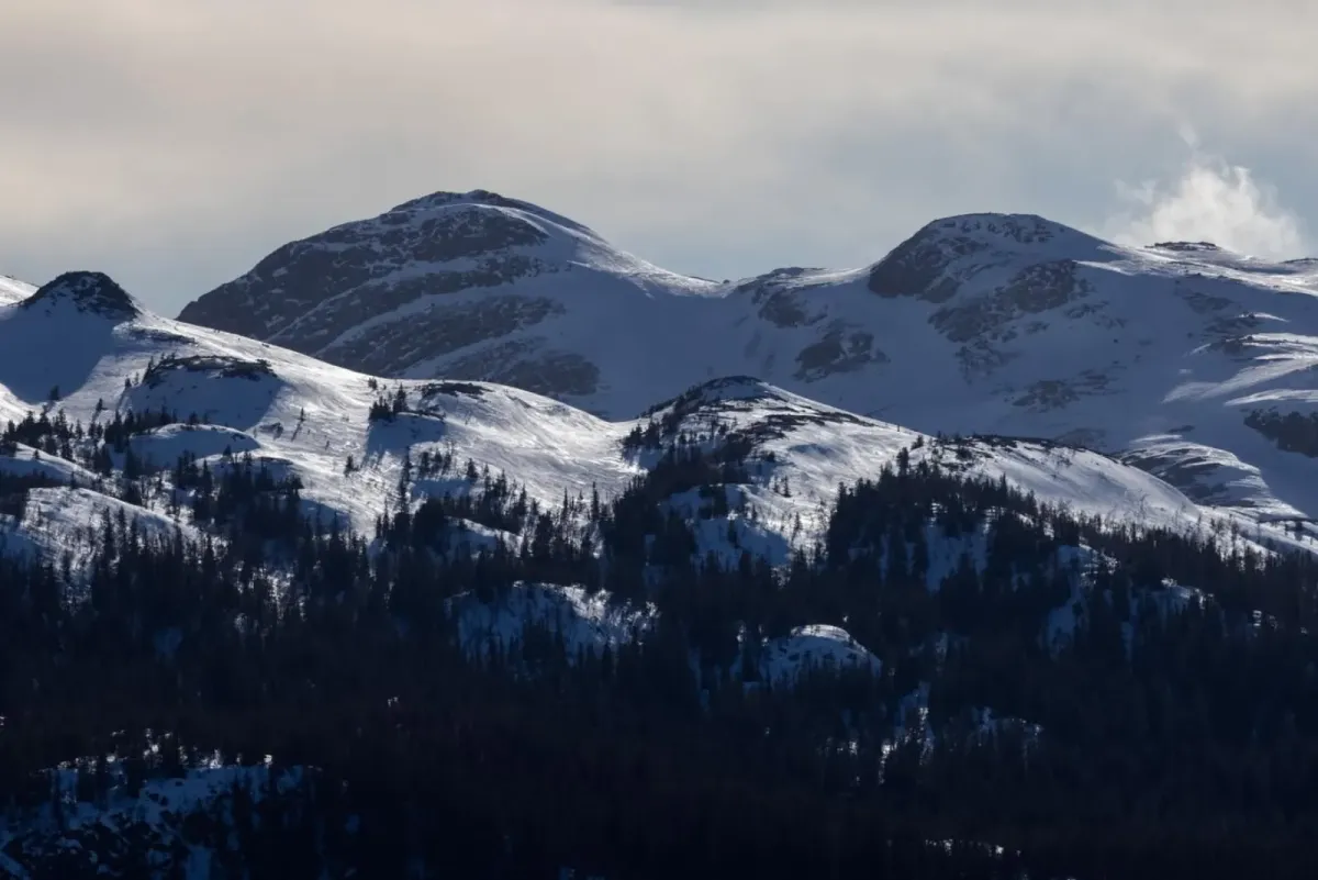

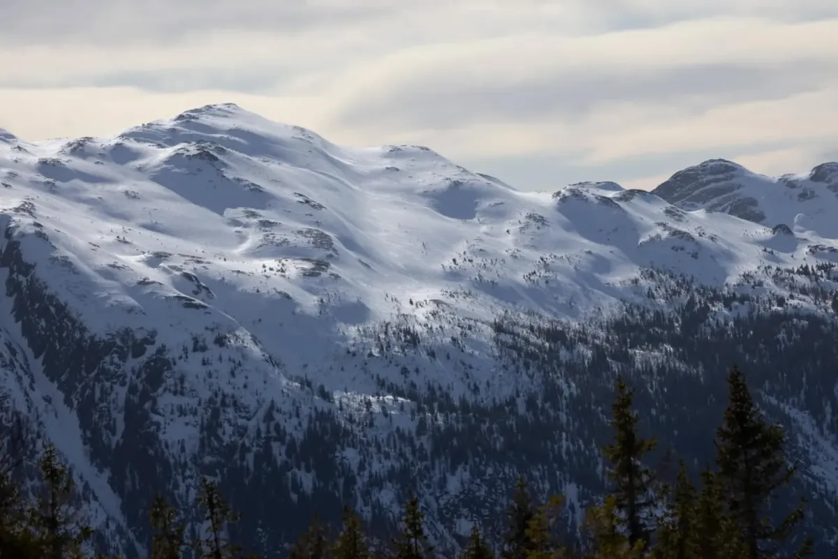
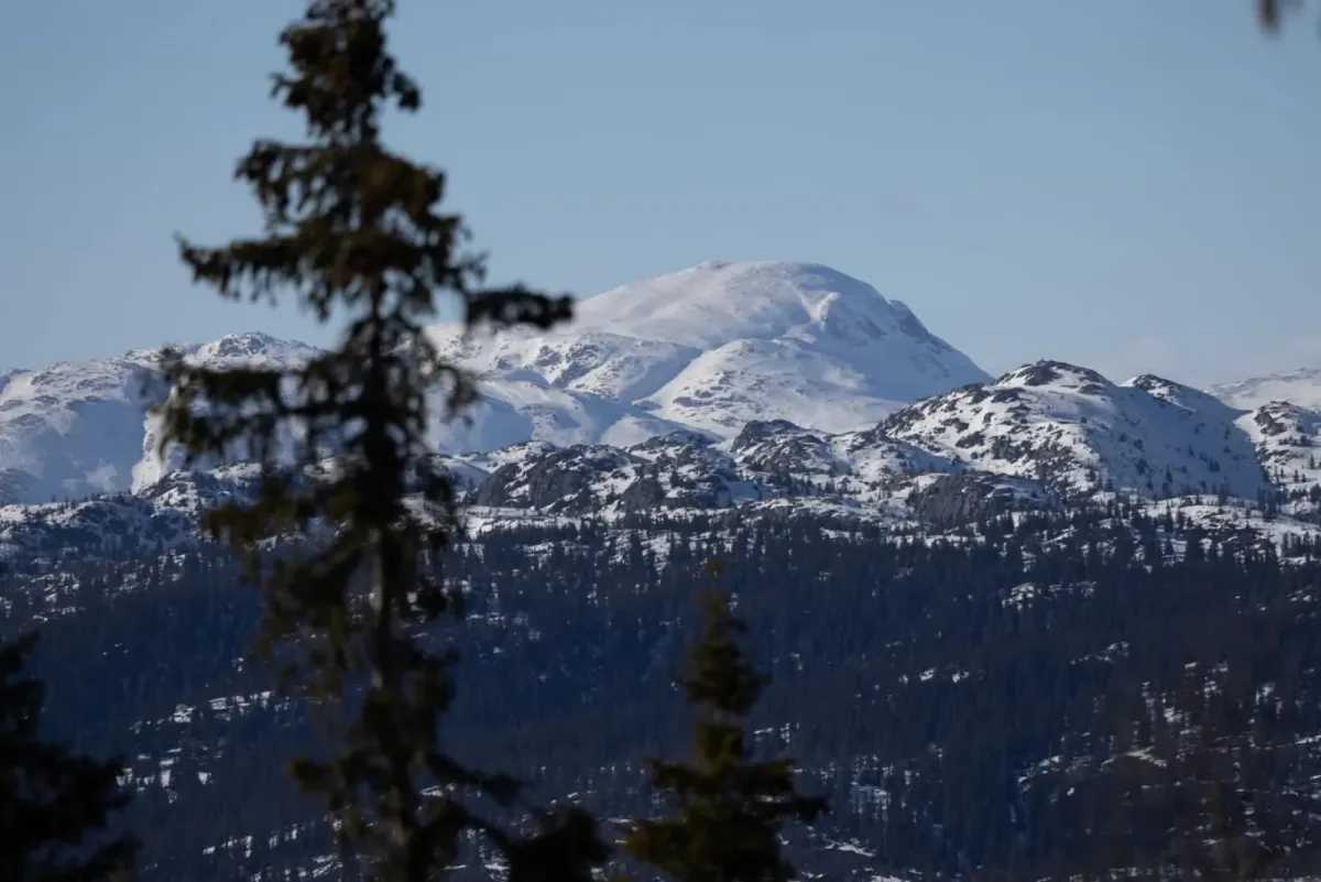

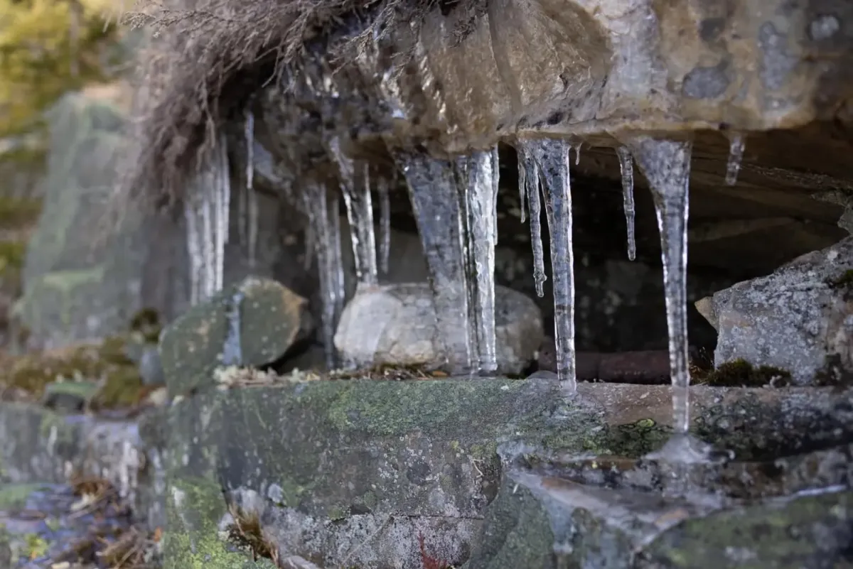
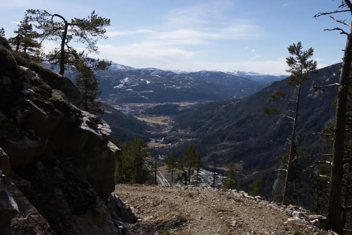
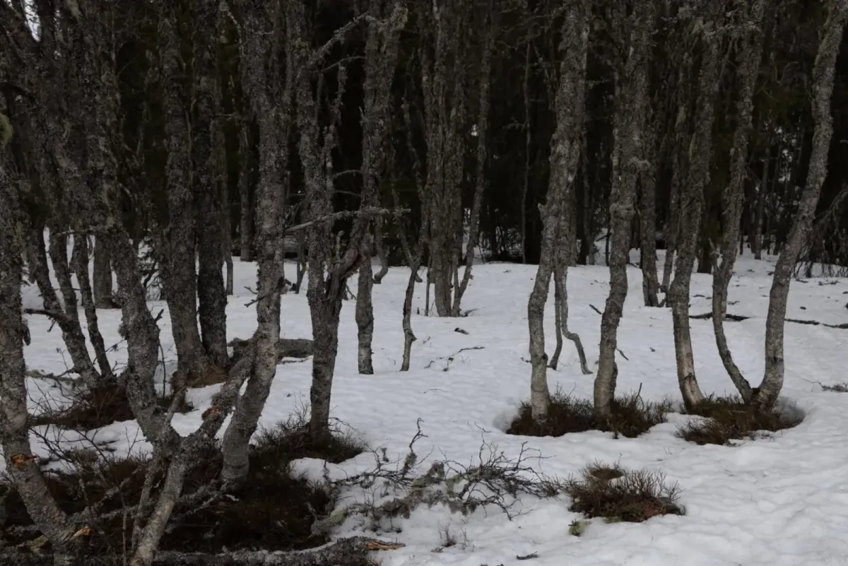
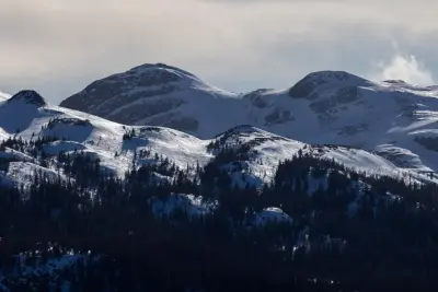
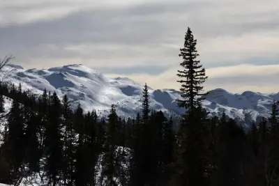

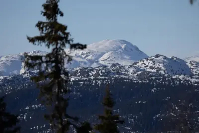
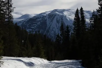

Long Easter hike at the end. Mælefjell. Today we travelled from the shooting range in Aarhus. The tractor road up from there is steep. 200 vertical metres per km. Turn after turn uphill. First stop at Århusnuten with great views of the industrial area down in the village, towards Lifjell and Skorve. Further up towards Strandfjellet. Here I have a view of the Skorve side, which is absolutely fantastic. I'm thinking of camping here in the summer. Further up the hillside towards Såta. The distinctive groove, you can see so beautifully from Brøløs. Checked out Doktorhytta (located about halfway across the Mælefjelltunnel), where we had a rest. At the top of Såta at 1154 metres above sea level, it was -7 degrees and a full storm (30 m/s at least). Continued onwards towards Langtjønnane and on top of the groove there (1282 metres above sea level). Walked down towards Rustjønnan and up the groove towards the village. Unbelievably beautiful. What an area. Is this the most beautiful hiking area in the municipality? The trip of 5 and a half hours over 21 km and with an elevation gain of over 1500 metres (hilly terrain) was absolutely great. The snow carried very well. I'm looking forward to the summer. Then I'll be back here ... with a tent. Magical views all the way to Gaustatoppen, Vindeggen, Brattefjell, Hestenutan, Nornibba and the entire Skorve ridge beyond.